WYTFLIET (Cornelius).Livre Rare Book
457 résultats
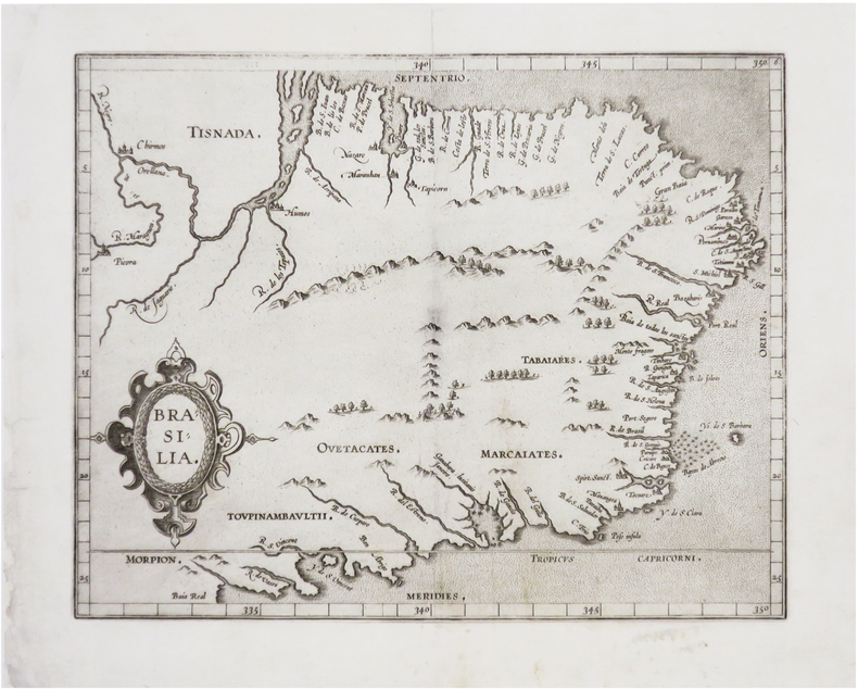
1607LBW-8130[Douai, François Faber, 1607]. 228 x 286 mm.
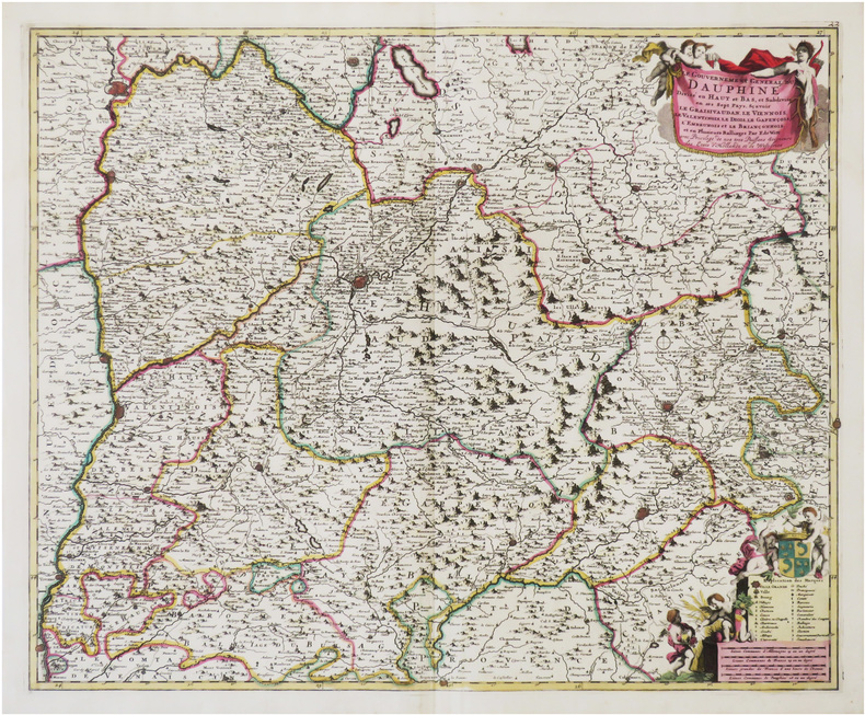
1680LBW-9006Amsterdam, F. de Witt, [circa 1680]. 454 x 557 mm.
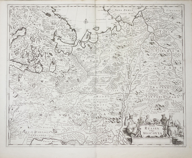
1700LBW-2278vers 1700. 450 x 558 mm.
1671LBW-5776Paris, A. de Fer, 1671. 380 x 525 mm.
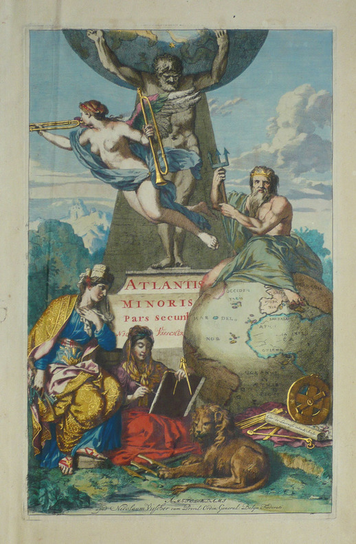
1690LBW-1718Amsterdam Nicolaum Visscher vers 1690 397 x 250 mm.
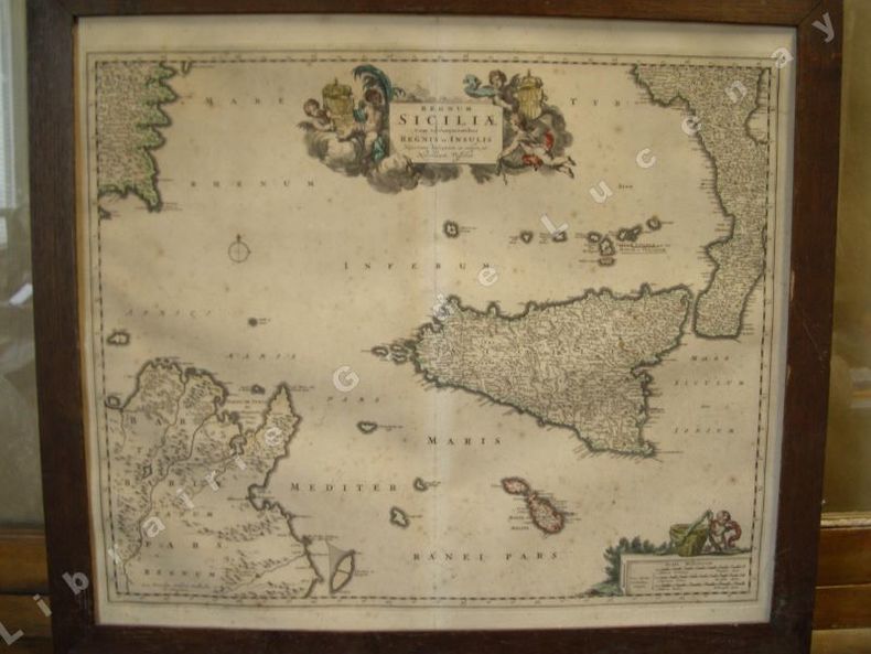
1680135451680 cadre bois naturel. 51 x 59 cm., 1 cartouche colorié, échelles des milles, Amsterdam N. Visscher 1680
168052698Amsterdam, [ca. 1680]. Plattenmaß: 59,5 x 48 cm [Blattmaß: 62,5 x 52,5 cm]. Mit kolorierter barocker Titelkartusche (oben links) u. zweifachem Maßstab.
1683LBW-2754Paris, H. Jaillot, 1683. 351 x 451 mm.
1700LBW-494[circa 1700]. 245 x 324 mm
16876047<p>Das von den Türcken lang-gequälte nun durch die Christen neu-bescelte Königreich Hungarn Theodoro Tscherning; maps by Martin Stier. Published by Martin Endter Nuremberg 1687. First Edition. 16mo up to 6½" tall. 464pp. fold out dedication to the Holy Roman Emperor Leopold I dated 1687 with detailed engraving of a double-headed eagle holding a scepter and orb; 12 folding maps as called for; index 12pp. Individual maps removed and placed together form one large map. Half leather over marbled boards banded spine red edges. Browning to title page and light toning thereafter. Maps are in very good to fine condition. Partial split to leather at outer upper hinge and partial crack to inner hinge. In very good condition.</p><p>The Kingdom of Hungary long tormented by the Turks now blessed by the Christians. According to the attached XII most accurate maps clearly handled and provided with the newest most remarkable events extending up to the present time. A brief presentation and description of the Hungarian cities fortresses and castles including the neighboring lands of Austria Moravia Carinthia Carniola Styria Bosnia Dalmatia Croatia Slavonia Bulgaria Transylvania etc.</p><p>Published during a pivotal era for the Habsburgs shortly after the 1683 Battle of Vienna and the same year 1687 as the Battle of Mohács which helped solidify Habsburg control over Hungary.</p> Martin Endter hardcover
165044316Without place, (Basel ca. 1650). 30x36 cm. Fine engraved map of North and South America from Terra del Fuego, Terra Australis Incognita and the Magellan Strait in the south to the unmapped regions in the north. A small map of the known parts og Greenland in inset. Outer left shows the coasts regions of Spain and Africa. Ships and whales in the see. Signed M. Merian fecit (lower right). Clean and fine, broad margins, uncoloured.
169143500Amsterdam, Huguetan & Mortier, 1691. 56x85 cm. Large engraved map of Terra Sancta with original colours in outline. With two large engraved cartouches. Small repairs to lower part of centerfold.
1696PHO-1981Paris, Thomas Moette, 1696 ; 5 parties en 2 vol. in-folio (37x23,5cm), veau marbré, dos à nerfs richement orné de motifs dorés avec tomaison et pièce de titre grenat, quelques frottements, charnières fendillées, manque au dos, coins usés, coiffes absentes, 8 feuillets détachés, rousseurs, qlqs feuillets brunis. L’illustration comporte de nombreuses gravures et illustrations dans et hors texte, 6 cartes dont la carte de l’Indostan, de la Colchide, du Japon (qui regarde l’Amérique), carte de la route du voyage de Canton à Péking, carte de l’Éthiopie, carte de l'Éthiopie ["Entrée de quelques ports…"]. Il manque la Carte de Bassorah, les 2 planches de caractères Chaldéens, la carte de l’Australie, la carte des côtes d’Arabie et d’Asie, la carte des Costes de Sierlionne, la carte des Philippines et Chine, la carte de Chine
1663PHO-2278A Paris, chez Jacques Langlois, 1663-1666 3 parties en 1 volumes in-folio (38x25cm). Veau tacheté époque, dos à nerfs ornés avec pièce de titre en maroquin et tomaison, tranches jaspées rouges. Réparations au dos et coins, mouillure, quelques rousseurs, réparation au titre, renforcement à la carte. Complet de ses relations de voyage selon Brunet & Camus
1632LBW-8708Paris, Melchior Tavernier, [1632]. 370 x 488 mm.
1621LBW-6514Paris, Melchior Tavernier, [1621]. 384 x 575 mm.
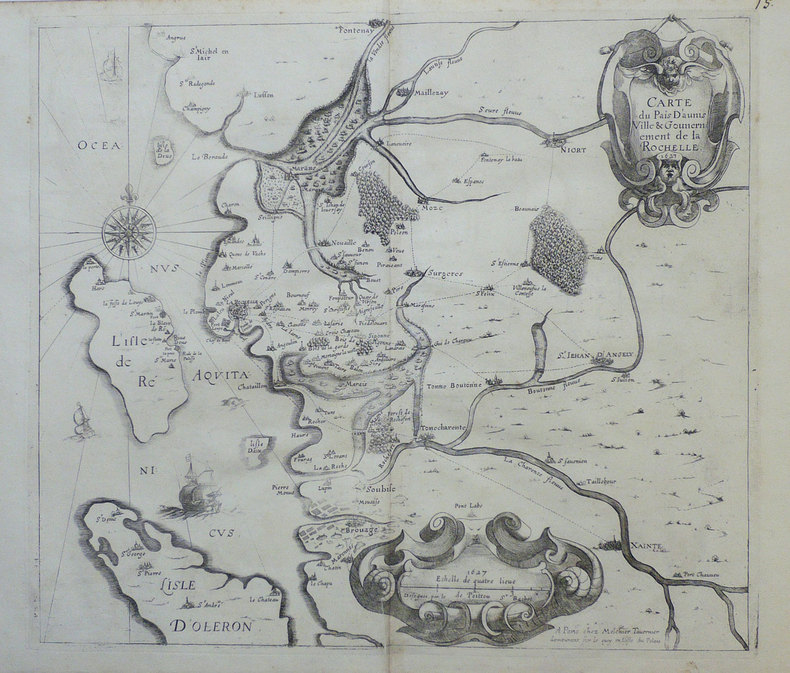
1632LBW-7282[Paris, Melchior Tavernier], 1627 [1632]. 385 x 514 mm.
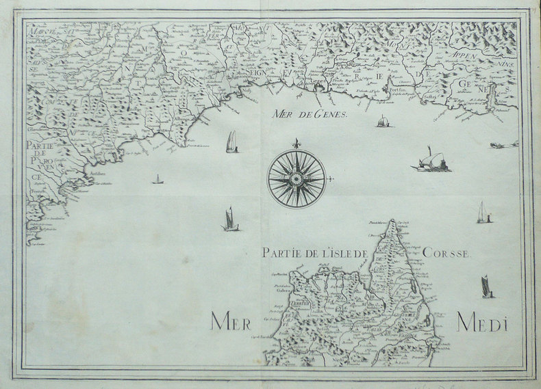
1632LBW-964Paris Melchior Tavernier 1627 [1632] 375 x 427 mm.
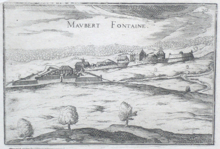
1634LBW061edParis 1634 104 x 153 mm.
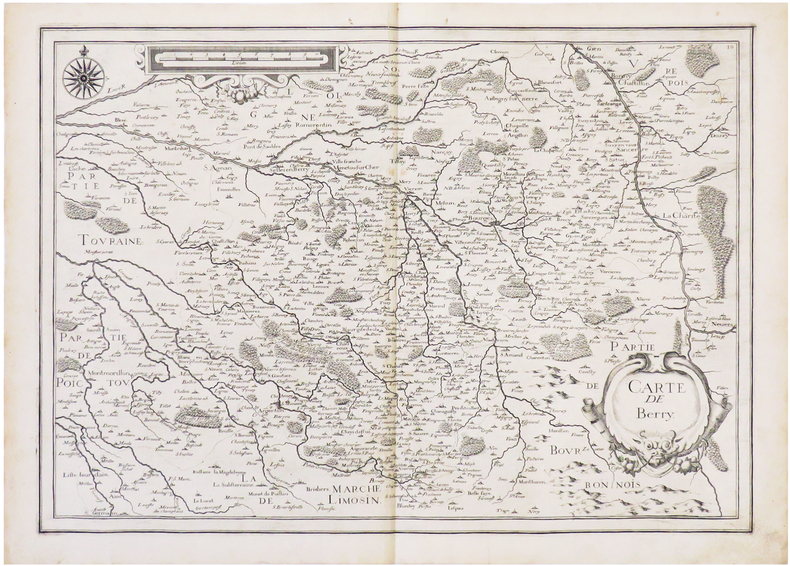
1634LBW-6831[1634]. 364 x 511 mm.
1640LBW-1382Paris circa 1640 367 x 516 mm.
1634LBW061efParis 1634 105 x 151 mm.
1634LBW-651Paris 1634 222 x 330 mm.
1634LBW-6839[Paris, 1634]. 368 x 520 mm.
1634LBW061ee[Paris, 1634]. 105 x 153 mm.