2 026 résultats
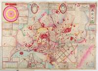
1892214181東京. Tokyo.: 山嵜暁三郎. Yamazaki Akizaburo. Meiji 25 1892. Colour woodblock map 50 x 71cm folds into card covers with plain cloth spine. 18 x 12cm. Occasional small holes at folds some colour offsetting in places a little marking and staining along upper margin upper left section of upper cover stained with a little subsequent staining to map. A bright and attractive map which looks better than this sounds. This 1892 map of Tokyo shows a growing metropolitan city which attracts many tourists from outside. Portraits of the Emperor and the Empress are featured prominently at the top. There are 11 inset illustrations of major buildings and sites surrounding the main map with a round chart which shows directions and distances to them. Another chart lists place names in wards and counties in Tokyo. The Royal Palace is featured in the center and the palace and major buildings are coloured in red. An inset map of Yokohama sits on the lower left. . 山嵜暁三郎. [Yamazaki Akizaburo]. hardcover
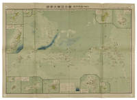
1819155215統正社 Tōseisha . Showa 18 1943. Colour folded map 54. x 76.5cm. Pinholes at corners light even browning good copy. This Japanese map of Micronesia shows the Mariana Islands Eastern and Western Caroline Islands Marshall Islands and Gilbert Islands. The separate maps around the edge are clockwise from the upper right corner: Jaluit Atoll Guam Island Rota Island Saipan Island Palau Islands Yap Island Hall Islands Pohnpei Island Truk Islands and Kusaie Island. . 統正社 [Tōseisha ]. unknown
1819162103Tokyo.: Tōseisha. Showa 18 1943. Folding colour map of Australia 54.2 x 76.4cm. Some foxing particularly along folds and upper right margins a few repaired tears and small holes at folds.With original sleeve. The 15th map in the Standard Maps of Greater East Asia series of 20 maps. Shows the natural resources such as sheep gold pearl diary regions opals etc. Tasmania appears as an inset in the bottom right corner. Text in Japanese. . Tōseisha. unknown
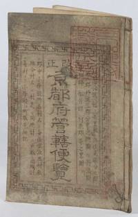
1873216097京都. Kyoto.: 村上勘兵衛. Murakami Kanbei. Meiji 5 1873. Black and white woodblock maps and city plan 22 x 15.3cm 17 double-folded leaves 4 hole string binding. Covers worn and soiled chop on upper cover. This guide to Kyoto and its surroundings includes two double-page and twelve single-page pictorial maps published around Meiji 5 1873. Each map highlights geographical features place names and major buildings such as Buddhist temples within Kyoto and its surrounding areas. The latter section covers three counties of the Tanba region offering a detailed look at the area beyond Kyoto itself. . 村上勘兵衛. [Murakami Kanbei]. unknown
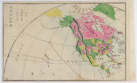
1877159812Kyoto.: 村上勘兵衛 文部省刊行. Murakami Kanbē; Monbushō kankō. Meiji 10 1877. Colour woodblock map of North and Central America. From the Journal of World Geography 萬國地誌略 published in 1877. Printed area measures 33.5 x 21cm a good copy with occasional soiling. . 村上勘兵衛, 文部省刊行. [Murakami Kanbē; Monbushō kanko& unknown
18658064DBBerlin, Druck und Verlag von F. G. Mittler und Sohn, 1865. 8°. 22 cm. 54 Seiten. Einfacher Halblederband der Zeit.
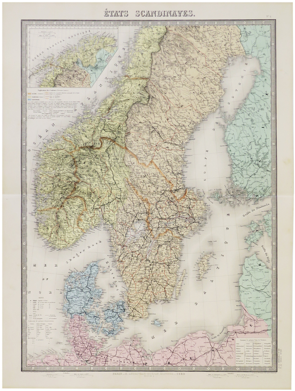
1880LBW-5786Paris, E. Andriveau-Goujon, 1880. 660 x 462 mm.
1838A92Paris, Delamarche, 1838 ; 336/475 mm, 1 pp., une feuille. Bon état.
1840598DG(um 1840). Kol. Lithographie. Bildgrösse: 20,2 x 30,7 cm. Blattgrösse: 28,5 x 38 cm.
1840598DG(um 1840). Kol. Lithografie. Bildgrösse: 20,2 x 30,7 cm. Blattgrösse: 28,5 x 38 cm. + Wichtig: Für unsere Kunden in der EU erfolgt der Versand alle 14 Tage verzollt ab Deutschland / Postbank-Konto in Deutschland vorhanden +, bild
18401747AGBasel., Chr. Krüsi, ca. 1840. Kupferaquatinta von R.Huber. Blattformat: 23 x 32 cm. + Wichtig: Für unsere Kunden in der EU erfolgt der Versand alle 14 Tage verzollt ab Deutschland / Postbank-Konto in Deutschland vorhanden +, A
18401747AGBasel. Chr. Krüsi ca. 1840. Kupferaquatinta von R.Huber. Blattformat: 23 x 32 cm.
188850324121078E J Arnold Leeds 1888. First Edition. Hardcover. Very Good Condition/No Dust Jacket. Illustrator: F D King. Small slim green volume with black lettering and decoration is lightly sunned on the spine. Sound binding clean pages black and white plates and crisp intact fold-out maps. 100 pages plus fold-out maps. No dust jacket as published. Illustrator: F D King. Quantity Available: 1. Shipped Weight: under 1 kg. Pictures of this item not already displayed here available upon request. Inventory No: 50324121078. All our books music and maps are sent by a tracked mail service. E J Arnold hardcover
189576430Leipzig, F. A. Brockhaus, 1895. Bildgröße 13 x 21,5 cm. Unter Feinkartonpassepartout.
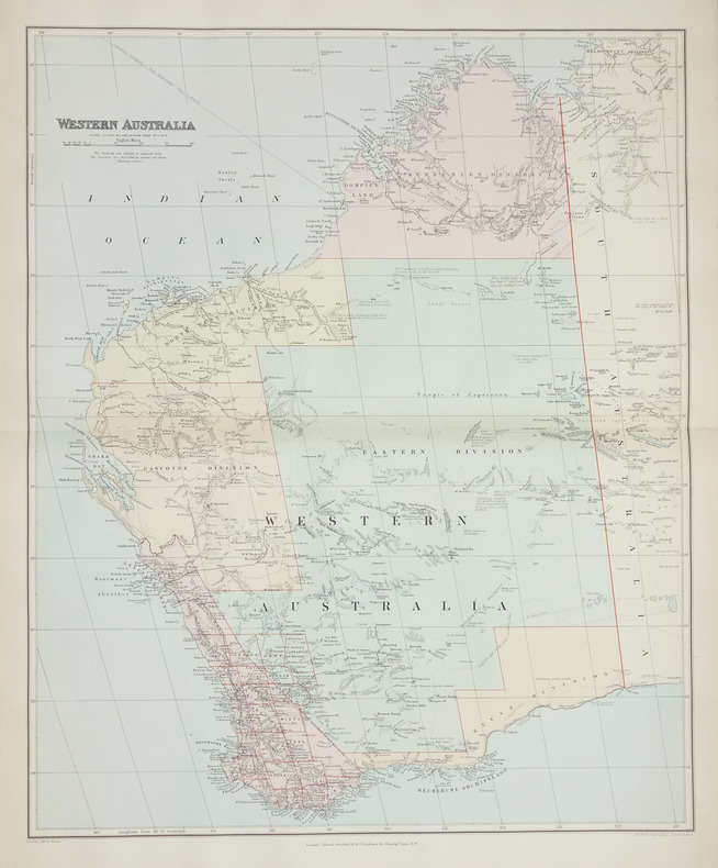
1896LBW-2708London, Edward Stanford, [1896]. 508 x 628 mm.
1850KART0157Gotha, Justus Perthes (um 1850). Grenzkol. Kupferstichkarte, mit Längen- u. Breitegradangaben in Rahmenleiste, Bildausschnitt 24x18,5 cm, Blattgröße: 31,5x25 cm, im w. Rand schwach stockig, 2 minim. Randläs., eine Ecke mit Knitterspuren. (= Stieler's Schul-Atlas No. 30).
1822KART0032o. O. u. J. (um 1822). Kupferst., altkol., 26 x 36 cm. Kartenbild mit wenigen Braunfl., w. Rand etwas stärker braunfl., einige Gebrauchsspuren, Knickstelle an re. ob. Ecke. Planiglob der östlichen und westlichen Hemisphäre.
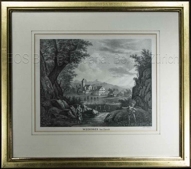
1850603BG(um 1850). Lithographie von R. Rey. Bildausschnitt: 16,3 x 21 cm. Rahmen: 31 x 35 cm. + Wichtig: Für unsere Kunden in der EU erfolgt der Versand alle 14 Tage verzollt ab Deutschland / Postbank-Konto in Deutschland vorhanden +, Abb.
1850603BG(um 1850). Lithographie von R. Rey. Bildausschnitt: 16,3 x 21 cm. Rahmen: 31 x 35 cm.
1840848CG(um 1840). Kol. Aquatinta. Bildausschnitt: 7,2 x 11 cm. Rahmengrösse: 16 x 21 cm. + Wichtig: Für unsere Kunden in der EU erfolgt der Versand alle 14 Tage verzollt ab Deutschland / Postbank-Konto in Deutschland vorhanden +, Abb.
184463111London: J.&C. Walker 9 Castle Street Published by Longman & Co. ca. 1844. 16mo. 3.5 x 5 in. folding out to 13.25 x 16.5 in. dissected 15-panel hand-coloured steel-engraved map linen-backed w/ 3 leaf folding population and mileage distance chart from Dublin by County mounted on front pastedown. Dark gray-green publisher’s cloth portfolio pocket binding decorative borders in blind gilt lettering stamped on front cover a NF copy. First edition thus of this very scarce dissected pocket map of Ireland published against the backdrop of the full impact of the Great Potato Famine which from 1841-1851 resulted in the diaspora and death of nearly 30% of the Irish population and as reflected in the mileage table mounted with the map the population in 1845 had already dropped from 8.2 million in 1841 to 7.7 million by 1844 and it would plummet further to below 6.5 million by 1851. The bulk of these emigrated to the United States Canada and the United Kingdom resulting in the fact that Ireland’s current population still resides below the high of 1841 and nearly 38 million Irish-Americans claim descent from the successive waves of migration much of which channeled through New York’s Lower East Side and the Bowery in the 19th-Century. John Walker 1787-1873 was a British mapmaker engraver lithographer hydrographer draughtsman and publisher publishing nautical charts and geographical maps with his brothers Charles and Alexander in their firm J.&C. Walker located at 9 Castle Street Holborn from 1841-1847 and moving to 37 Castle St. in 1848 where they remained to 1875. Much of their work was published under the auspices of the Society for the Diffusion of Useful Knowledge or S.D.U.K. Worldcat locates 1 copy Yale. J.&C. Walker, 9 Castle Street, Published by Longman & Co., hardcover
1839782121839. Longman Rees and Co. 1839. Early Edition. Hardback. No DW. Brown textured cloth. 9cm x 12.5cm. Linen-backed fold-out map in colour 35cm x 42cm . Ownership signature to inside cover. A lovely copy. hardcover
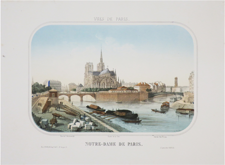
1865LBW-8853Paris, Gosselin, et Lyon, Gadola, [circa 1865]. 240 x 306 mm.
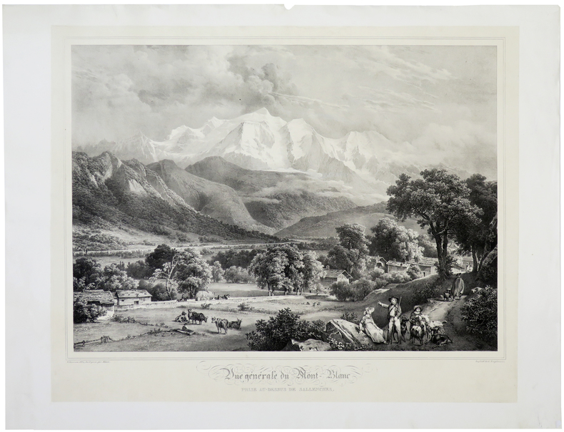
1824LBW-7761824. 455 x 554 mm.
1850LBW-1314[vers 1850]. 315 x 415 mm.