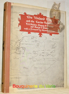
SKELTON, Raleig A. - MARSTON, Thomas H. - PAINTER, George D.Livre Rare Book
7 088 résultats
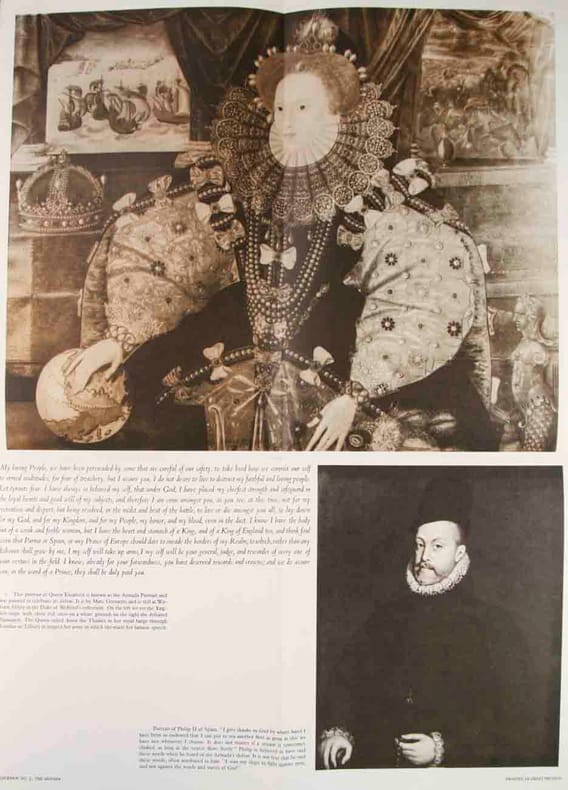
12085London, New Haven and London Yale University Press 1963, 295x240mm, 289pages, editor's binding with jacket. Book in good condition.
193321187Port-Saïd The Oriental Commercial Bureau August Rüsenberg 1933 in-8 broché une carte dépliante brochée in-octavo Editeur (10,5 x 24 cm), couverture illustrée en bleu marron et jaune de la statue de Ferdinand de Lesseps, avec explications des Sites intéressants au long du Canal de Suez, en Anglais, français et Allemand + une grande carte dépliante en couleur du canal, format déplié : 22,8 x 85 cm , sans date (1933) Port-Saïd The Oriental Commercial Bureau August Rüsenberg Editeur,
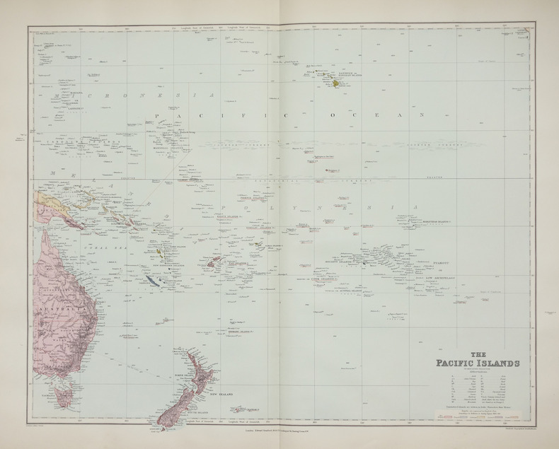
1896LBW-2658London, Edward Stanford, [1896]. 480 x 603 mm.
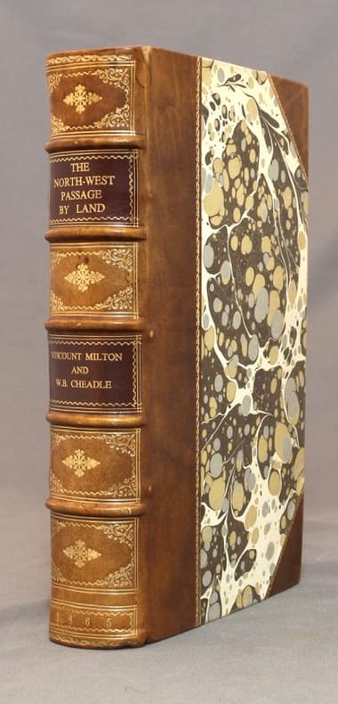
186515586London, Cassell, Petter, and Galpin, [1865]. In-8 de XXIV-400-13 pages, demi-veau brun, dos à 5 nerfs orné d'encadrements, fleurons, date roulettes et titre dorés, roulettes dorées sur les plats, pièces de titre marron.
183957123London, Laurie, 1839. 8vo. In contemporary blank wrappers with part of original printed wrapper pasted on. Stamp to front wrapper and title-page. Internally fine and clean. iv, 38 pp.
197021837Geneva, Nagel Publishers, 1970. 12 mo, 176 pages, full red percaline, gilt title, orange headband, dust jacket printed in red.
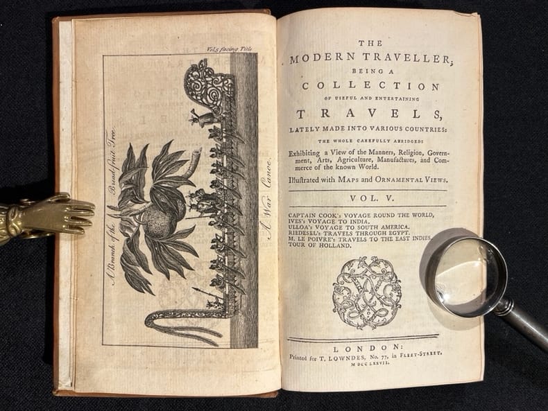
177610256London, Printed for T. Lowndes, 1776-1777. 5 volumes in-12 (sur 6) de [4]-282-[2]; [4]-283; [4]-284; [2]-285-[3] et [2]-287 pages, plein veau blond, dos à 5 petits nerfs ornés de filets, roulettes, tomaison et titre dorés, étiquettes de titre bordeaux, roulette dorée sur les coupes. dos frottés, petit manque à 2 coiffes supérieures, un mors fendu sur 2 cm au vol.4, 2 petits manques de peau au vol. 2, 2 ex-libris par volume.
199752551997 reliure pleine toile bleue in-quarto, titre frappé or sur le dos, illustrations photographiques en couleurs, 224 pages, 1997 London Apple Press,
168947354London, William Berry, (1689). 56x87 cm. Large engraved map of Denmark in original outline colouring. Perhaps the largest engraved map of Denmark from the 17th century.
168942652London, William Berry, (1689). Ca 58x88 cm. Frame and under plexiglass. Large engraved map of Denmark in contemp.outline colouring. Perhaps the largest engraved map of Denmark from the 17th century.
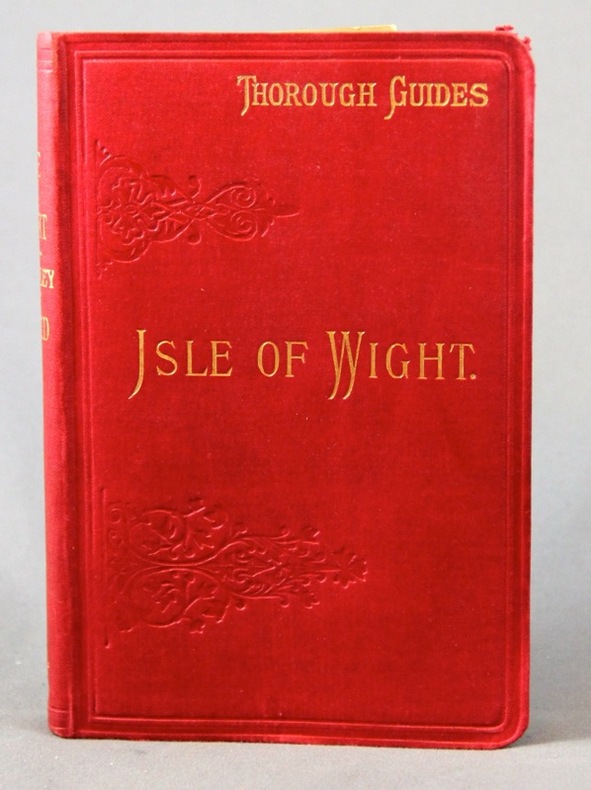
18952308London, Dulau & Co, 1895. In-8 de X-[4]-96 pages, pleine percaline rouge d'éditeur ornée à froid, dos lisse. Coins supérieur du second plat frotté.
AMA-1104London, Spring Books, 1954. In 8°, reliure de l’éditeur, jaquette illustrée (déchirures sans manque). xxiii, 304 pp., illustrations in et hors texte.
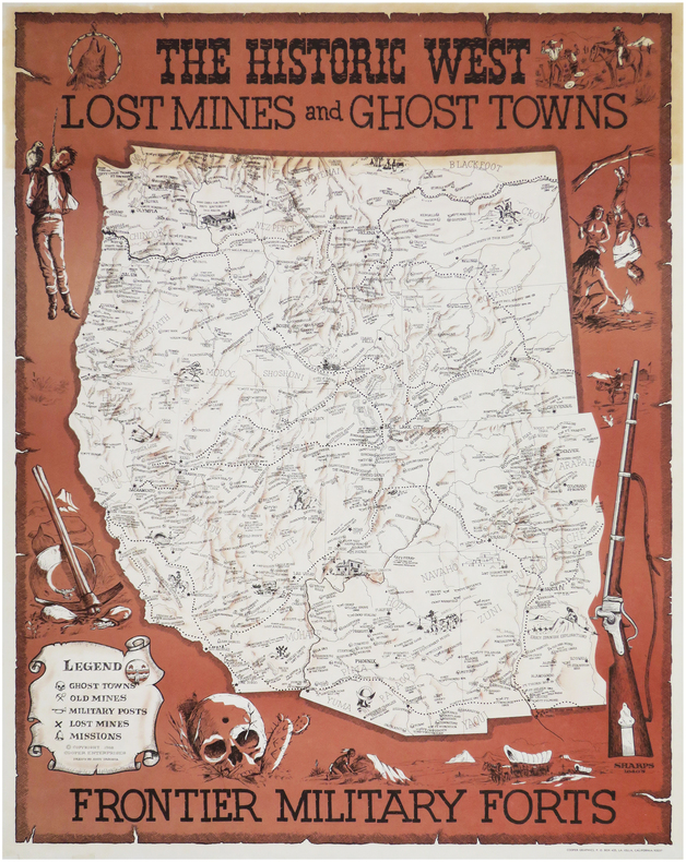
1968LBW-8142La Jolla, Cooper Enterprises, 1968. 705 x 547 mm.
2008R320170243inconnu. 2008. In-12. Broché. Bon état, Couv. convenable, Dos satisfaisant, Intérieur frais. Album contenant 28 cartes postales en couleurs - album en anglais et en russe.. . . . Classification Dewey : 741.68-Illustrations des cartes postales
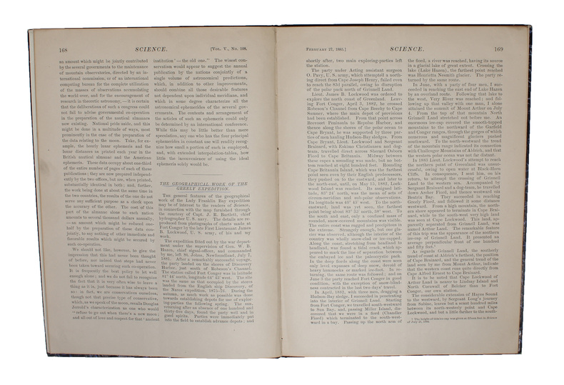
188558309(New York, 1885). 4to. In later half cloth with gilt lettering and stamp to front board. In ""Science"", Vol. 5, No. 108, Feb. 27. Paper label pasted on to front board. The two titles underlined in blue pencil. Stamp to verso of map and almost parted in two, long tear in foldings, otherwise internally fine and clean. Pp. iii-iv, 163-185 + large folded map: ""North America polar regions : Baffin Bay to Lincoln Sea, showing the most recent discoveries including those of U.S.S. Polaris Expedition in 1871-2, under Captain C.F. Hall, British Arctic Expedition in 1875-6, under Captain G.S. Nares, R.N., The Lady Franklin Bay Expedition in 1881-4, under Lieutenant A.W. Greely, U.S.A""
244229[London, Burgis & Barfoot], (1841) 42 x 56 cm, encadrée sous verre (encadrement postérieure). Pliure centrale.
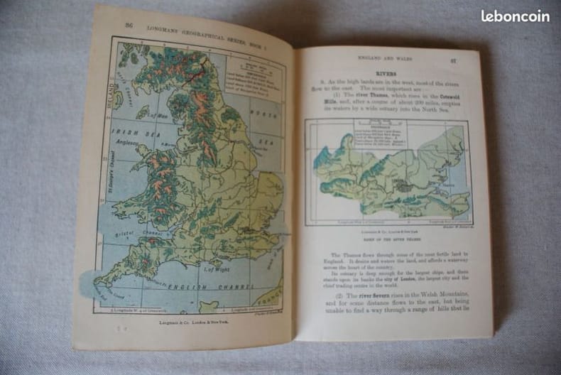
229London : Longmans, Green, and Co., 1901, in-12, cartonnage rouge éditeur, index, 172 p. Belles conditions générales pour ce petit atlas de poche début de siècle. Coiffes légèrement tassées.
77379aafLondon, The Burton Press, 1975, gr. in-4to, 45 plates in color and 53 black & white illustrations, o. clothbound, o. jacket, o. slipcase.
94064aafLondon, Jonathan Cape, 1964, in-4to, 10 loosely inserted documents (maps, portraits, engravings, broadsheets), orig. illustr. portfolio
1985AUB-5987R. Gilliard S.A. 1985. Bel exemplaire relié, reliure ornée d'éd., in-4 carré, 84 pages.
177127627Bordeaux Lattré 1771 carte ancienne enn deux feuilles, colorée d'époque en vert , rouge et jaune, cartouche non coloré, par Joseph-Nicholas Delisle, gravée par Arrivet. Format total : 50 centimètres de haut par 39 centimètres de large, 1771 Bordeaux Lattré Editeur,
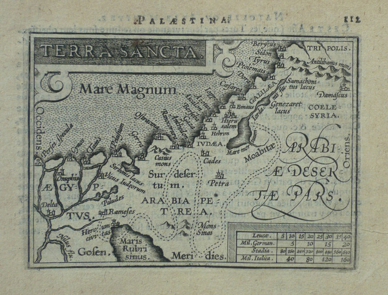
1598LBW-1425Anvers 1598 80 x 105 mm.
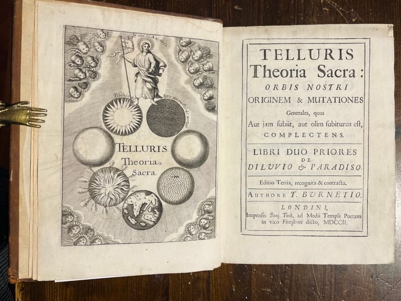
17026312Londres, Benj. Took, 1702. In-8 de [16]-356p., plein veau brun, dos muet à nerfs, plats décorés de filets et fleurons à froid, roulette dorée sur les coupes.
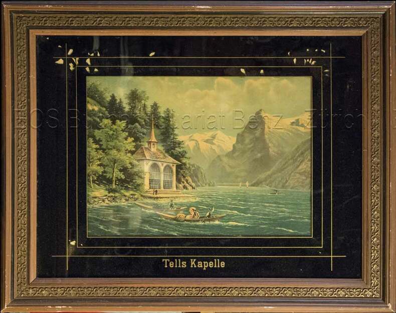
1860824CG(um 1860). Chromolithographie hinter Glas. Bildausschnitt: 24 x 33 cm.
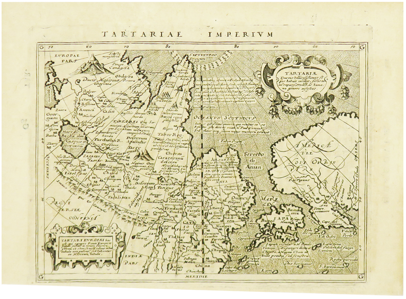
1617LBW-1964[Arnhem, Joannes Jansson, 1617]. 129 x 170 mm.