Gyger, H.C.GygerAntiquariat.de

62 résultats
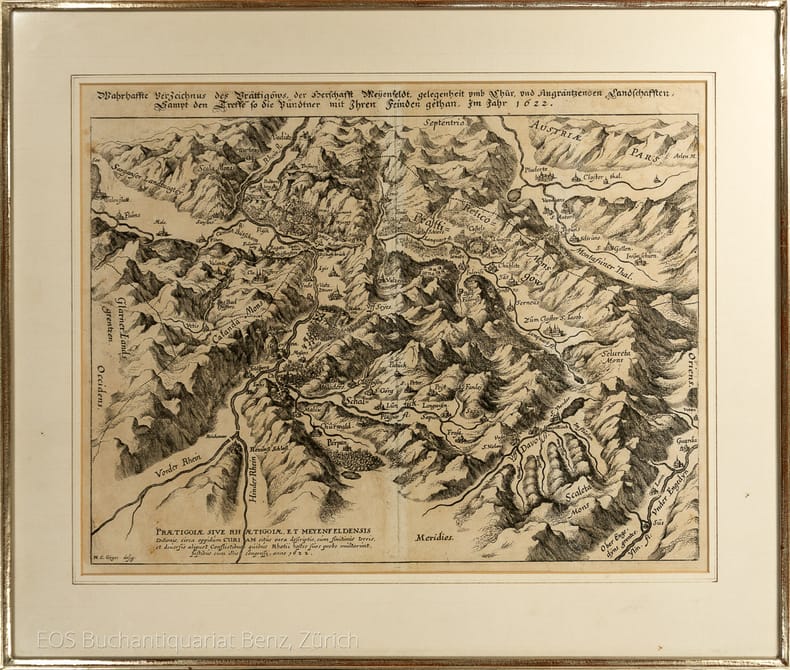
1635993DG(1635). Kuperstich von Matthäus Merian. Blattgrösse: 28,5 x 37 cm. + Wichtig: Für unsere Kunden in der EU erfolgt der Versand alle 14 Tage verzollt ab Deutschland / Postbank-Konto in Deutschland vorhanden +, 993DG Bildgrösse: 40 x 49 cm.
1635993DG(1635) Kuperstich von Matthäus Merian. Blattgrösse: 28,5 x 37 cm. Bildgrösse: 40 x 49 cm.
1686PHO-2093Paris, Arnould Seneuze, Daniel Horthemels, 1686, in-4 (24,5x19cm): 16ff.-424pp. 8ff., illustré de 20 planches dont certaines à double pages, gravées par Cornelis Vermeulen, d'après les dessins de P. Sevin, relié plein veau chiné, dos à nerfs orné avec titre, frottements, manques en tête et coiffe arasée, 1 coin usé, mouillure en coin sur une quinzaine de feuillets, une planche détachée, quelques brunissures et rousseurs.
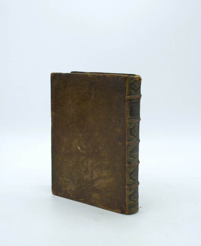
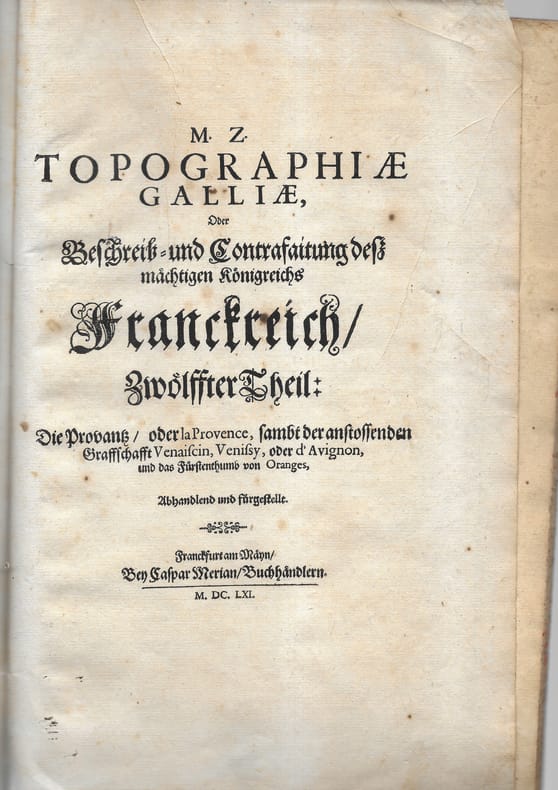
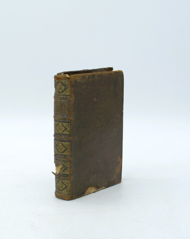
166178701 plaquette petit in-folio comprenant 9 cartes, plans et vues. Broché Bon Frankfurt Merian 1661 1 plaquette petit in-folio
1610Map903London: John Sudbury and George Humble 1610. 1st Edition . No Binding. Vg. Folio. 44x52 cms. 38.5x51 cms The rare first edition of Speed's Kingdome of Scotland map with original outline colouring and printed on thick paper. Portraits of the Scottish Royal family border the side margins and the imprint reads' Performed by John Speed and are to be sold in 'Popeshead alley by John Sudbury and George Humble Cum Privilego 1610'. In the upper right corner is the inset ' The Yles of Orkney'. The map reverse has the text description in English. The map is complete to the margins but has been rather crudely repaired to the rear in past times and is generally a trifle grubby. Edges and centre fold repaired from the back.The top and bottom margins are wide but the side margin are close to the plate mark.The impression however being the first edition is very good with dark and clean lines throughout. The faded colouring is original with very understated with subtle lines and wash to the portraits and sea creatures. The Inital letter to the text is the first issue and by William Hall 1611-12. PLEASE EMAIL FOR PHOTOGRAPHS. <br/> <br/> John Sudbury and George Humble unknown
1616Map 752London: Thomas Bassett and Richard Chiswell 1616. No Binding. Fine. Folio. 1611-1676 An original map of the county of Suffolk. Nice old hand-colouring a dark impression. 41.5 x 54cms. 16.25 x 21.5 inches. Wide margins outside the plate. ENGLISH TEXT to reverse. The imprint is by Thomas Bassett and Richard Chiswell in St Pauls Yard. London Floral initial letter to reverse in the style of Hall and Beale. PLEASE EMAIL FOR PHOTOS. Basset and Chiswell joined forces and purchase the original Speede plates and re-issued the maps in a fine edition in 1676. Only this issue was produced and is dated 1676 <br/> <br/> Thomas Bassett and Richard Chiswell unknown
1698PHO-2187Paris, dans l'Isle du Palais, G. Saugrain, 1698.Grand in-12, 6ff.-219pp., veau époque, dos à nerfs orné, manque au dos et aux plats, coins usés, frottements, ex-libris sur la page de garde et manuscrit au titre. Exemplaire sans les planches.
163046404471s. l. (Paris), , (vers 1630) ; in-8 oblong, demi-basane rose, dos lisse orné de motifs dorés. (Reliure du XIXe siècle). Titre gravé dans un encadrement baroque de rocailles, table gravée, 51 planches numérotées pour ce titre auxquelles on a ajouté 15 autres gravures.Cartes des gouvernements, plans et vues des villes. Les plans de Champagne concernent les principales villes de l’actuelle Champagne, mais aussi les Ardennes et la Lorraine. Ay, Chaalons, Charleville, Chaumont, Clermont, Dormans, Espernay, Langres, Maubert Fontaine, Mery sur Seine, Meszière, Monteclair, Montigny le Roy, Mouzon, Ste Menehould, Troyes, Verdun, Villefranche, Virty le François. Pour chaque gouvernement, une carte de la région, chaque ville est ensuite représentée par un plan et une vue. La table annonce pour la planche 29 un plan de Maubert-Fontaine, elle a été remplacée ici par une vue de Dampierre non numérotée qui n’est pas annoncée dans la table. Les 15 cartes et vues ajoutées sont du même format, certaines, du XVIIe, de la même facture que l’album, semblent être également de Tassin, d’autres sont plus tardives, toutes montrent des vues et plans de villes de Champagne. Certaines planches, en particulier les figues ajoutées, ont été montés sur papier vergé par le relieur du XIXe siècle qui a aussi doublé un marge. De la bibliothèque de Louis Morin, typographe à Troyes (ex-libris du XIXe), ce dernier a noté sur la garde : “Il a été ajouté des vues et plans, ce qui (...) rend le présent recueil des plus intéressants”.
1674bb3401Jaillot H. Carte 1674 Carte de 42 x 55 cm en une partie : frontières colorées ; très bon exemplaire. Livraison a domicile (La Poste) ou en Mondial Relay sur simple demande.
1674bb3404Jaillot H. Carte 1674 Carte de 43 x 57 cm en une partie : frontières colorées ; mouillure marginale sans gravité, bon exemplaire. Livraison a domicile (La Poste) ou en Mondial Relay sur simple demande.
1674ag660Jaillot H. Carte 1674 Carte de 43 x 57 cm en une partie : frontières colorées ; mouillure marginale sans gravité, bon exemplaire. Livraison a domicile (La Poste) ou en Mondial Relay sur simple demande.
1611PHO-2274Hanau, Typis Wechelianis apud Claudium Marnium & haeredes Ioan. Aubrii, 1611. In-folio, [16]-1196-[76] pp. + [4]-285-[3] pp., 5 cartes gravées sur cuivre dont 3 grandes dépliantes. Plein veau, dos à nerfs aux armes de la famille de Montholon, restauration à la reliure, brunissures importantes par endroits, légères rousseurs aux cartes, léger pli au titre. Exemplaire complet. Provenance : reliure aux armes de la famille de Montholon ; étiquette de la librairie Dorbon-Ainé. En deux parties avec chacune son titre propre.
160221369I. Hondius sculp. - I Leclerc excu. 1602, 32,9 x 51 cm ; 41 x 53,4 cm avec les marges.
1689Map867London: P.Lea 1689. Original printed issues 1st Editions . No Binding. Fine. Folio. 1579-1689. The rare re-issue with amendments by P.Lea of Saxtons original plate of 1579. Hand out-line colour in fine condition of the copperplate engraving. Paper size 54.5 c 42.8 cms. Plate size 49.5 x 34.0 cms. No splits or holes and attractive early colouring. Plain verso and hinge still present. Inset plan of Norwich. PLEASE EMAIL FOR PHOTOS. <br/> <br/> P.Lea unknown
16951000019AGAmsterdam, Johannes van Keulen, [1695]. Kupferstich altkoloriert. 54 x 63 cm (Blattgröße), [7 Warenabbildungen] unter Glas gerahmt, leichte Mittelfalte etwas knittrig, kleinere Randläsuren, Rahmen etwas bestossen,
1627Map635London: George Humble 1627. 1st Edition . No Binding. Fine. An original uncoloured issue of Van Der Keere's map of Westmoreland and Cumberland Lovely dark impression of this 'miniature Speede map'. 5 x 3.5 inches. Nice wide margins <br/> <br/> George Humble unknown
1643Map588London: Thomas Jenner 1643. Original Map . printed Map. Vg. An uncoloured original map of Surry with a distance grid showing the miles between the principal towns 125x130mm. A nice dark copy with a couple of worm holes <br/> <br/> Thomas Jenner unknown
1643Map555aLondon: Thomas Jenner 1643. printed Map. Vg. An uncoloured original map of Somersetshire with a distance grid showing the miles between the principal towns 125x130mm. A nice dark copy with a couple of worm holes <br/> <br/> Thomas Jenner unknown
1627Map863London: George Humble 1627. 1st Edition . No Binding. Fine. An original uncoloured issue of Van Der Keere's map of Somerset. Lovely dark impression of this 'miniature Speede map'. 5 x 3.5 inches <br/> <br/> George Humble unknown
1643Map476London: Thomas Jenner 1643. Original Map . printed Map. Vg. An uncoloured original map of NOTTINGHAMSHIRE with a distance grid showing the miles between the principal towns 125x130mm. A nice dark copy with a couple of worm holes <br/> <br/> Thomas Jenner unknown
1695Map480Robert Morden 1695. No Binding. Very Good. HAND COLOURED V.G. 13.75 X 16.5 <br/> <br/> Robert Morden unknown
1643Map476aLondon: Thomas Jenner 1643. Original Map . printed Map. Vg. An uncoloured original map of Northampton with a distance grid showing the miles between the principal towns 125x130mm. A nice dark copy with a couple of worm holes <br/> <br/> Thomas Jenner unknown
1627Map419London: George Humble 1627. 1st Edition . No Binding. Fine. An original uncoloured issue of Van Der Keere's map of Northamptonshire. Lovely dark impression of this 'miniature Speede map'. 5 x 3.5 inches <br/> <br/> George Humble unknown
1627Map861London: George Humble 1627. 1st Edition . No Binding. Fine. An original uncoloured issue of Van Der Keere's map of Huntingtonshire. Lovely dark impression of this 'miniature Speede map'. 5 x 3.5 inches. Nice wide margins <br/> <br/> George Humble unknown
1627Map395London: George Humble 1627. 1st Edition . No Binding. Fine. An original uncoloured issue of Van Der Keere's map of Montgomery and Merionethshire. Lovely dark impression of this 'miniature Speede map'. 5 x 3.5 inches <br/> <br/> George Humble unknown