[OTTOMAN ATLAS - MANUSCRIPT].Biblio.com
3 973 résultats
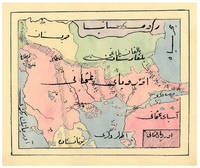
1910ABC_47241Ottoman Empire 1910. Gold-stamped cloth with the tughra of Mehmed V ruled 1908-18 on the front board when reading right to left and "Album" on the back board the front when reading left to right with an inscription below the tughra and the European numerals 16 and 2 flanking an ornament below the inscription the whole framed by 4 large floral cornerpieces. Oblong 4to 26.5 x 19.5 cm. 14 leaves with 10 pen-and-ink maps hand coloured with watercolours. Tissue guards. An album of hand-drawn maps forming an atlas of the western mostly European parts of the Ottoman Empire with legends in Ottoman Turkish written in the Arabic script. The overview map shows Albania Kosovo Macedonia and the Ottoman controlled northern parts of Greece coloured together with Thrace and the northwest parts of Anatolia shown treating them as a single unit while Serbia and Bulgaria like the small parts of territories outside Ottoman control are coloured separately. Most of the other maps give more detailed views of some of these regions including the Bosporus the Dardanelles Halkidiki Chalcidice Albania etc. but there is also a map of Crete not in the overview map.In fine condition. hardcover
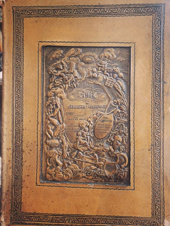
1932LCI-6454Editions geographiques Khanzadian 1932 1 Folio feuillets sous coffrage RARETÉ HISTORIQUE — EXEMPLAIRE DÉDICACÉ — FORMAT FOLIO — ÉTAT EXCEPTIONNELL’Atlas de géographie générale de la Palestine (1932) — rédigé par la Société des Nations (SDN) — est un témoignage cartographique unique d’une époque où la géopolitique du Proche-Orient était redéfinie. Rareté absolue : Très peu d’exemplaires subsistent, surtout en format folio — ce qui en fait un objet imposant, rare et prestigieux. Preuve sociale forte : Ce livre a été utilisé par des institutions académiques et des diplomates de l’époque — aujourd’hui, il est recherché par les chercheurs sur la Palestine pré-1948. Contexte géopolitique brûlant : Dans un monde où la Palestine est au cœur des débats, cet atlas devient un artefact politique et historique vivant — un outil de compréhension, pas seulement un objet. Contenu détaillé : L’atlas comprend 135 cartes en noir et en couleur, couvrant :La géographie physique et humaine de la PalestineLes frontières et les territoires administrés par la SDNLes ressources naturelles et les infrastructuresLes données démographiques et religieusesLes zones de conflit et les projets de développement Dédicace manuscrite de l’auteur — une connexion personnelle avec l’histoire, rare et émouvante. État du cartonnage : Légères usures aux angles — signes d’authenticité et d’usage historique — mais reliefs centraux magnifiques, soulignant l’élégance originale de la reliure.Ne cherchez pas ailleurs — ce n’est pas un livre, c’est un témoignage.
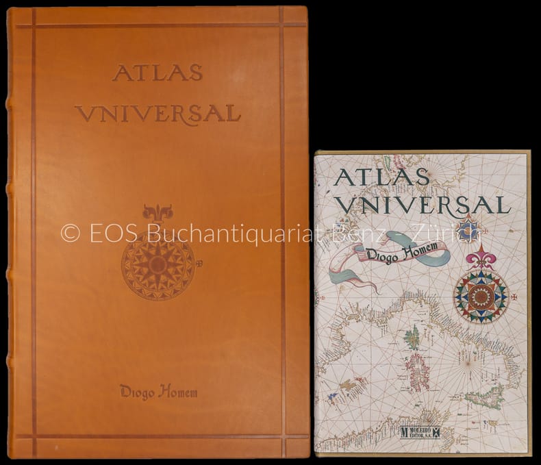
200030664ABBarcelona, Moleiro, 2000?2002. Folio und quart. 331 S. Mit (20) Bl. mit faks. Karten. Leinen- und Lederband in Lederbox. + Wichtig: Für unsere Kunden in der EU erfolgt der Versand alle 14 Tage verzollt ab Deutschland / Postbank-Konto in Deutschland vorhanden +, A|B 2 Bände.
200030664AB2 Bände. Barcelona, Moleiro, 2000–2002. Folio und quart. 331 S. Mit (20) Bl. mit faks. Karten. Leinen- und Lederband in Lederbox.
1991ATLASPRE013370Atlas Press London. 1991-1996. First editions. Octavo. Wrappers. Almost complete set: 338 of 39 fascicles in three slipcased volumes. The last title is missing from the third volume. In the first volume each fascicle is one of 250 numbered copies; in the second one of 300; in the third one of 300. There are a couple of anomalies in the numbering of the fascicles. Authors include Alastair Brotchie who runs Atlas Press Grayson Perry his first book Benjamin P�ret Harry Mathews Remy de Goncourt Robert Desnos Alfred Jarry Pol Bury et al.All fine in very near fine slipcases. Atlas Press, London. unknown
199236211Norton Critical Editions. New. 1992. Hardcover. 0393034135 . FREE UPGRADE to Courier/Priority Shipping Upon Request IN STOCK AND IMMEDIATELY AVAILABLE FOR SHIPMENT - FLAWLESS COPY BRAND NEW PRISTINE NEVER OPENED - 157 pages. From Library Journal: "Since the 1987 publication of Allan Bloom's The Closing of the American Mind the question of whether that body of works referred to as either the Classics or Great Books should be required reading for college students has divided academia. Journalist and biographer Atlas Delmore Schwartz who covered the debates as waged between traditionalists and multiculturalists for the New York Times here revises an overview of curriculum controversies at major universities that he wrote for Whittle Communications' Larger Agenda series in 1990per BIP .He traveled to Duke Harvard and Chicago to interview professors and examine course catalogues in search of 'our educational mandate.' He contributes a refreshing voice to a discussion dominated by academics evincing a 'spirit of curiosity' where dry polemics are the rule. But he offers little in the way of original thought nor is his argument in favor of the 'canon of Great Books' unified. Denser more closely reasoned new books on the subject include David Bromwich's Politics by Other Means: Higher Education and Group Thinking Forecasts Aug. 10 and Beyond the Culture Wars by Gerald Graff Forecasts Sept. 7." First Norton edition so stated. -- with a bonus offer-- . Norton Critical Editions hardcover
199032897Knoxville TN U.S.A: Whittle Communications. As New. 1990. Hardcover. 0962474533 . FREE UPGRADE to Courier/Priority Shipping Upon Request - IN STOCK AND IMMEDIATELY AVAILABLE FOR SHIPMENT - TEXT PRISTINE & UNMARKED CRISP TIGHT TO THE SPINE - Discusses leading figures such as the late Allan Bloom. Educational values and standards vs. Test scores. 91pp. -- with a bonus offer-- . Whittle Communications hardcover
198517247A. C. Black / W. W. Norton. As New. 1985. Paperback. 0713627174 . FREE UPGRADE to Courier/Priority Shipping Upon Request - IN STOCK AND IMMEDIATELY AVAILABLE FOR SHIPMENT - AS NEW THE TEXT BLOCK IS PRISTINE CLEAN UNMARKED AND IN EXCELLENT CONDITION - -- with a bonus offer-- . A. C. Black / W. W. Norton paperback
198754176Cambridge MA: Schenkman Books. New. 1987. Hardcover. 0870470299 . FREE UPGRADE to Courier/Priority Shipping Upon Request IN STOCK AND IMMEDIATELY AVAILABLE FOR SHIPMENT - Flawless copy brand new pristine never opened -- 413 pages. -- with a bonus offer-- . Schenkman Books hardcover
1965R118098Paris, E. De Boccard 1965-1982 Ouvrage en 10 tomes, ensemble 4.400pp., 28x23cm., les volumes 1 à 8 sont reliés uniformément (reliures cart. jolies, dos en cuir brun avec titre doré), Volume 9 et 10 (annexe) en brochures originales, petit numéro de référence sur la page de titre, texte et intérieur sont frais, très bon ensemble, poids: 16kg., [Contenu: Tome I: 1030-1289 (483pp.), II: 1290-1324 (549pp.), III: 1325-1359 (541pp.), IV: 1360-1408 (566pp.), V: 1409-1498 (568pp.), VI: 1508-1571 & Table générale des tomes I à VI (345pp.), VII: 1600-1714 (408pp.), VIII: 1715-1746 (431pp.), IX: 1747-1790 (363pp.), X: Tables des tomes VII à IX et Atlas des monastères de l'Ordre aux XVIIe et XVIIIe s. (143pp., illustré de quelques cartes)], R118098
19941255341994 Fédération mycologique Dauphiné-Savoie - 1994 - 16 volumes in-8, reliés, formats carrés, pleine percaline verte, titres et tomaisons sur les dos en doré, toutes tranches mouchetées, signets rouges - Contient 913 planches hors-texte en couleur
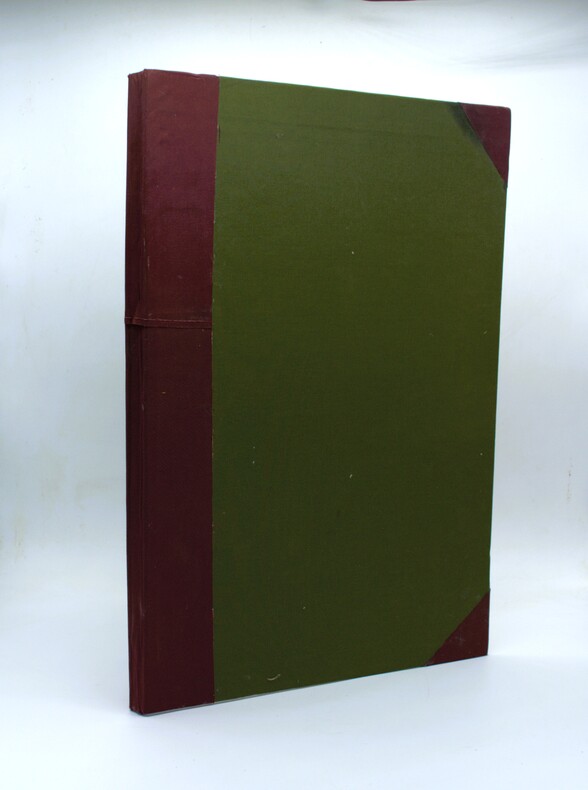
1926PHO-2298Paris, Commerce et industrie par L. de Bertalot, s.n., 1926. Grand in-folio (57x39cm) de [2] ff., 88 pp. (incomplet des pp. 81-88, Mouvement de la navigation maritime, Conclusion, Table des cartes) et 28 planches de cartes recto verso contenant 68 cartes numérotées 1-67 (complet) avec une carte numérotée 16 bis, dont 44 cartes historiques héliogravées ou en couleurs, certaines reproduisant des cartes anciennes, et 23 cartes politiques et économiques dessinées par l’auteur. Sans le frontispice. Cartonnage d’amateur moderne, dos et coins en toile bordeaux, plats recouverts de toile verte. Petites rousseurs éparses, quelques déchirures restaurées par endroits, légères traces de mouillures, perforations en marge inférieure de quelques planches.
194764270Portland OR: Oregon Blue Print Co. 1947-1959. Oblong atlas folio. 21 x 17.5 in. 52 leaves not contiguously numbered. all dyazo-print whjteprint maps w/ first consisting of a large folding “Oswego Oregon Street Map†many leaves w/ creasing corners worn some with closed tears secured at gutter margin w/ 4 brass split-pins over thick brown paper stock still a VG- exemplar. First edition thus of this exceedingly rare realty atlas for Oswego Oregon chronicling its’ explosive growth following World War II prior to the consolidation with surrounding suburbs and renaming as the City of Lake Oswego in 1960. These real estate atlases were sold in installments to Lake Oswego & Portland area real estate agents land use boards and public institutions with installments appearing from 1947-1959 but the Oswego atlas sheets are far scarcer than even the very rare Portland issues. Oswego and surrounding suburbs such as Alto Park Acres Forest Hills Lake Grove Rainbow Terrace Uplands Crest and Woodmont were all developed initially by the Ladd Estate Company which first platted the area with Paul C. Murphy overseeing the design with the aid of of Frederick & John Olmsted to create a park like setting around the Lake. This atlas with key map opening details the evolution from 1947-1959 the street-by-street and plat-by-plat of the surrounding area providing essential information on the emergence of these suburbs from the original donation land claims as the city grew from about 1500 to over 10000 by 1959. The more than 100 new residential plats created from the original donation land claims throughout the Lake Oswego area including the plats on the south side of South Shore Drive which created the Palisades Neighborhood and just prior to the July 2 1959 annexation which brought all of Oswego Lake parts of Lake Grove Palisades and others in the Lake Grove Sanitary District all evolve through these maps. Researchers can trace the evolution of the Portland-Salem Expressway later called the Baldock Freeway and further developed into the I-5 corridor alongside Lake Oswego along with the rapid growth of the area. Original Donation Land Claims are clearly demarcated including those of Charles Brown Bryant Waters Carman Albert Durham and many others. Oregon Blue Print Co. was established on SE Hawthorne in Portland OR by the early 1940’s and were the printers for the Pittmon maps which were extensively used and continually updated in the Portland area. Under Walter & Min Underwood the company focused on blueprinting and engineering plans as well as land promotion brochures and street maps. Company still remains family owned. It appears that later versions of the Oswego Oregon Street Map were used as land promotion brochures and some early versions do survive in holdings of Lake Oswego City Government and 1 in OHS but no other examples are located in Worldcat. No similar versions of this atlas have survived in institutional holdings that this cataloguer could identify accurately. See: Mid-Century Lake Oswego: A Look at Lake Oswego’s Modern Developments 1935-1965 August 2010. Oregon Blue Print Co., hardcover
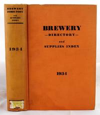
19341904190136New York : Atlas Pub. Co 1934. First Edition. Hardcover. Very Good. Bound in publisher's orange cloth. Hardcover. No dust jacket. Good binding and cover. Clean unmarked pages. Numerous ads. Includes listings for Schlitz etc. "breweries; brewery officials; brewmasters; purchasing agents; manufacturers of equipment and supplies used in breweries; beer jobbers and distributors; beer brands; bottling plants; beer and liquor legislation; associations and their officers; statistics etc." Interesting early post-prohibition book detailing the rebounding liquor industry 1933 repeal. Quite scarce. New York : Atlas Pub. Co hardcover
190725350Montreal Atlas Publishing Co sans date [1907?] In-plano (46 x 70 cm), 64 planches couleurs montées marouflées sur toile : Titre, Index et 62 plans.
199243475Mansfield, Martino, o. J. (um 1990; Nachdruck der Ausgabe Washington 1909-1992). Gr.-8°. Zus. ca. 6000 S., OLwd.-Bde.
19886977CBSüssen, Deuschle, 1988. 1 Atlas (30 Bl.) mehrfarbige Karten Kommentarband (102 S.). Orig.-Leinenkassette und Leinenband. + Wichtig: Für unsere Kunden in der EU erfolgt der Versand alle 14 Tage verzollt ab Deutschland / Postbank-Konto in Deutschland vorhanden +, A|B (Faksimileausgabe).
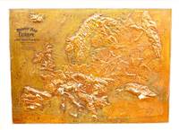
1907M11147Chicago: Atlas School Supply Co. 1907. Very Good. Notes: An interesting Relief Map of Europe. Size : 695x957 mm 27.36x37.68 Inches Coloring: Printed in Color Category: Maps Europe Continent; Atlas School Supply Co. unknown
194937964Toronto & Montreal: Underwriter's Survey Bureau Limited. 1949 1949. Hardcover. Very Good Rare. Atlas Folio. 55x31.5cm 18 linen backed double page scale maps a bit wrinkled green cloth covered boards Underwriter's Survey Bureau Limited. 1949 hardcover
190120341Paris, Octave Doin, Librairie Agricole, 1901. 2 volumes in-4, l'un broché de [4]-XLIII-[1]-956 pages, couvertures rempliées et l'autre relié en demi percaline de [4]-III-19 cartes en couleurs et 16 planches en chromolithographies.
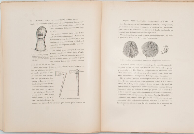
1903PHO-1294Masson, 1905. 4 vol. in-4 . Texte : broché (dos très usés avec manques et plats détachés au tome III, avec des défauts aux autres tomes); IV- 1210 pp. 428 reproductions photographiques dans le texte, 30 planches num. in & hors-texte, 2 pl. hors-t. n. ch. Atlas : cartonnage vert éditeur (frotté et tâché, bords des cartes un peu piqués et poussiéreux). 16 planches en couleurs contenant l'itinéraire général de la mission entre Ouargla et Bangui à l'échelle de 1/400.000e avec un levé détaillé du cours du Chari aux basses eaux entre Fort-Lamy et Fort-Archambault, à l'échelle de 1/100.000e.
1906112114Toronto: Historical Atlas Publishing Co 1906. Hardcover. Good . 70 p. interspersed with plates CXXI. 49 cm. 22 p. of b&w portraits and 121 p. of colour maps. Half leather black cloth. Writing on front chipped off. Respined and corners rebuilt. Stain on rear cover. New free endpapers and hinge repairs. Paper repairs to title page and other pages up to p. 9. Some dampstains thumbing and small tears. <br/><br/>Contains historical sketch and biographies as well as maps. Atlas section has maps of communities such as Guelph Elora Fergus Aberfoyle Erin Palmerston Mount Forest Harriston Arthur etc. as well as townships. Bonus section includes maps of the world continents countries and various provinces. Historical Atlas Publishing Co hardcover
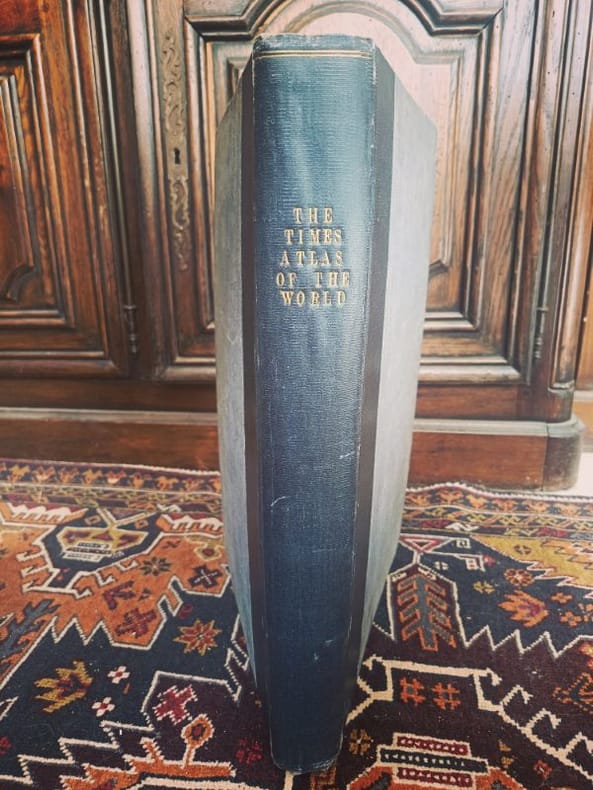
1922LCI-6530London, Printing House Square 1922 2 in -4 demi chagrin LE MONDE DE 1922 : SET GÉOPOLITIQUE SOUVERAIN. Ensemble exceptionnel comprenant le monumental Times Survey Atlas of the World (Bartholomew) et son rarissime Index de Prononciation in-quarto. Une archive totale des frontières post-Grande Guerre. Plus qu'une collection, c'est l'outil de référence absolu pour comprendre les racines des tensions mondiales actuelles. Un duo indissociable pour toute bibliothèque d'études stratégiques.
1902mon0003335558J.H. Stuart & Co. South Paris M 1902T. hardcover. Acceptable. . 1890 edition. Ex-library copy with usual markings. Cover shows minor wear and soiling binder's tape around all the edges. Facsimile title page bound-in to replace missing original page. Pages tanned and clean. J.H. Stuart & Co. South Paris, M hardcover
191118752paris BONG 1911 in-folio bradel demi-basane 5 volumes, reliure bradel demi-basane in-folio de l'Editeur à plaques spéciales polychromes (or, bleu et vert) pour le dos et le 1er plat (editor hard-back with specials covers editor for the spine and the first cover in-folio)(29 x 39 cm), reliure richement ornée, percale bleu foncé sur les plats, tranches bleues, tres nombreuses figures, cartes et nombreuses planches hors-texte en noir et en couleurs, Textes de S. AITOFF, Emile BELLOC, Henri BUSSON, Antoine CABATON, DESIRE CHARNAY, Marius CHESNEAU, HENRI CORDIER, Henri FROIDEVAUX, 5 vol. (VIII-8 pl.-[1962 p.]) : fig., pl. en noir et en couleurs, cartes, photographies, Comprend : Tome Ier. - 1911. - VIII-371 p. ; T. II. - 1912. - 266 p. ; T. III. - 1913. - 448 p. ; T. IV. - 1914. - 405 p. ; T. V. - 1914. - 372 p, 1911-1914 Paris : BONG Editeur,