12 890 résultats
20037o.J.
19568036Zürich [u.a.] : Stauffacher, 1956. 416 S. : 8 Bl. Abb. + Kt. in d. Spiegeln. Kl. 8°. 1. Aufl. - [EA]. OLwd mit Goldpräg. (Stauffacher-Reiseführer)
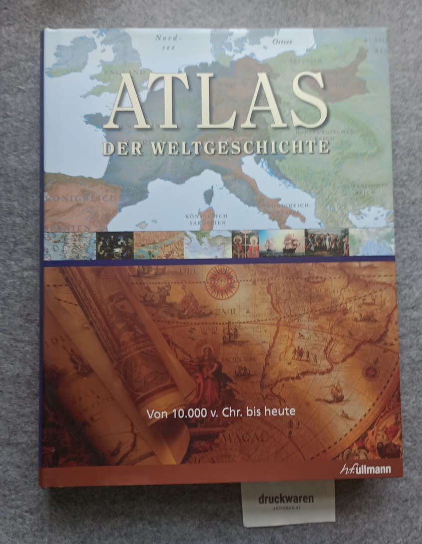
2009229490Königswinter : Ullmann, 2009. 512 S. : zahlr. Ill., Kt. 34 cm. Pp., gebundene Ausgabe, SU.
198233705BBDortmund, Harenberg Verlag. 1982. 8° 331 S., zahlr. Ill. (z.T. farb.). kart. Illustr. Deckel, Kanten leicht bestossen, schön und sauber erhalten. Die bibliophilen Taschenbücher ; 299.
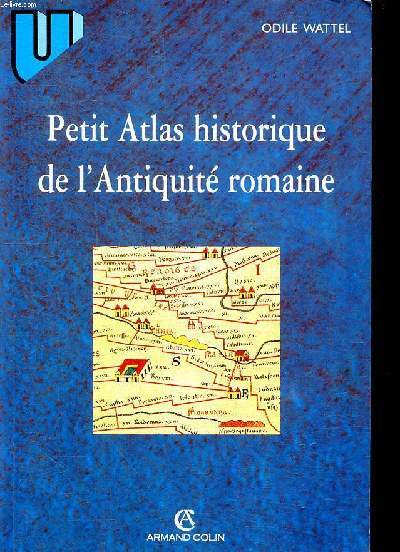
1998R260273008Armand Colin. 1998. In-8. Broché. Bon état, Coins frottés, Dos satisfaisant, Intérieur frais. 175 pages.. . . . Classification Dewey : 912-Atlas, cartes et plans
12046, Antwerpen, Bibliotheek van de Vrienden van het Mercatorfonds, 1994., Suite, niet gebonden, met foudraal, vergulde bandstempel op de voorplaat, rug versierd met vergulde titel, zonder omslagwikkel, 27,5x40cm, 92pp + 17 uitvouwbare kaarten in kleur. ISBN 9789061533177.
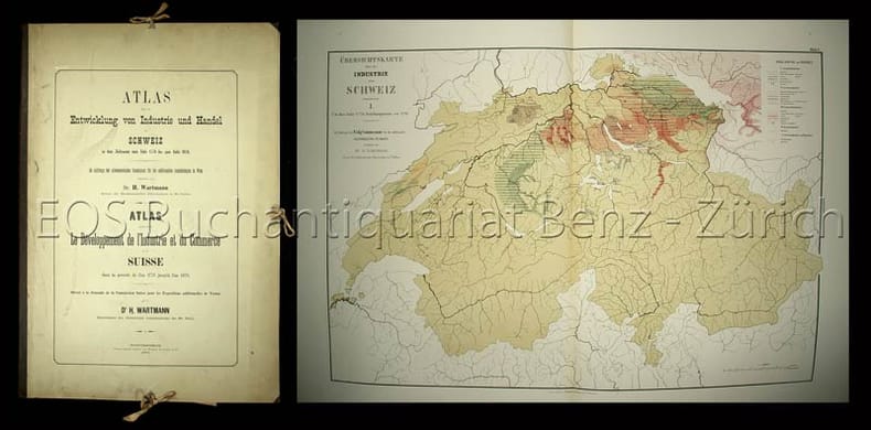
18732865DBWinterthur, Topograpisches Institut Wurster Randegger, 1873. Gr.-folio. (2) Bl. Mit 8 farb. doppelblattgr. Tafeln. Orig.-Halbleinenmappe.
18732865DBWinterthur, Topograpisches Institut Wurster Randegger, 1873. Gr.-folio. (2) Bl. Mit 8 farb. doppelblattgr. Tafeln. Orig.-Halbleinenmappe. + Wichtig: Für unsere Kunden in der EU erfolgt der Versand alle 14 Tage verzollt ab Deutschland / Postbank-Konto in Deutschland vorhanden +, 2865D
585 pages. Bibliography. Intended to "Give readers an understanding of the historical and geographical development of the area which is Manitoba today through facsimile maps, selected to show the main events and cultural proesses that were important in the growth of the whole or of any part of the area from the time of the earliest map, made in 1612, to the present." - from page 1. Somewhat above-average wear. Binding intact. Usual library markings. A worthy working copy of this sensational Manitoba historical reference. Book
2012yam0418in-4 brochè en très bon état de 198 pages édité par l'écarquillé
199734584Beijing : Cultural Relics Publishing House, 1997. 35.6 x 26.7 x 2.8 cm, Foreward: 34 pages / 212 farbige Abbildungen auf Tafeln // 188 pages Text gebundene Ausgabe, Leinen, Exemplar in gutem Erhaltungszustand
français In-4 de 61 pp.; album cartonné illustré de l'éditeur. Adaptation française de Andrée Lenglet et R.-G. Le Bars. Riche illustration en couleur.
129020aafSumtibus Homannianis Heredibus Norimbergae, 1769, gr. in-Folio, (ca. 60:36 cm), Gest. Titel mit lateinisch-deutschem Index u. 20 altkolorierten Kupferkarten + 1 zusätzl. doppelblattgr. Karte v. Neuchâtel (1778) - Teilw. gebräunt, Ränder stellenweise etwas angestaubt u. fingerfleckig. Kupfertitel mit Randeinriss. Sammlung loser Tafeln / collection des cartes complète de l’atlas, non relié.
196831223ABGattikon, Verlag Dorfpresse, 1968. Folio. 2 Bl. Mit 20 kol. faks. Karten. Lose in Pappmappe. + Wichtig: Für unsere Kunden in der EU erfolgt der Versand alle 14 Tage verzollt ab Deutschland / Postbank-Konto in Deutschland vorhanden +, A|B [2 Warenabbildungen]
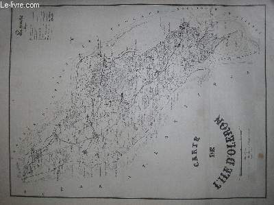
RO20039469ADMIRALTY. Début 19ème siècle. In-Plano. En feuillets. Bon état, Couv. convenable, Dos satisfaisant, Intérieur acceptable. Carte, noir et blanc, en planche de 50/65 cm.. . . . Classification Dewey : 912-Atlas, cartes et plans
1919RO20039478ADMIRALTY. 1919. In-Plano. En feuillets. Bon état, Couv. convenable, Dos satisfaisant, Intérieur frais. Carte, noir et blanc, en double-planches de 102 /69 cm. Légendes en anglais.. . . . Classification Dewey : 912-Atlas, cartes et plans
1918RO20039466ADMIRALTY. 1918. In-Plano. En feuillets. Bon état, Couv. convenable, Dos satisfaisant, Intérieur frais. Carte, noir et blanc, en double-planches de 102 /69 cm. Légendes en anglais. Plié en 4.. . . . Classification Dewey : 912-Atlas, cartes et plans
1911RO20039512ADMIRALTY. 1911. In-Plano. En feuillets. Bon état, Couv. convenable, Dos satisfaisant, Intérieur frais. Carte, noir et blanc, en double-planches de 102 /69 cm. Légendes en anglais. Quelques points orange au feutre.. . . A l'italienne. Classification Dewey : 912-Atlas, cartes et plans
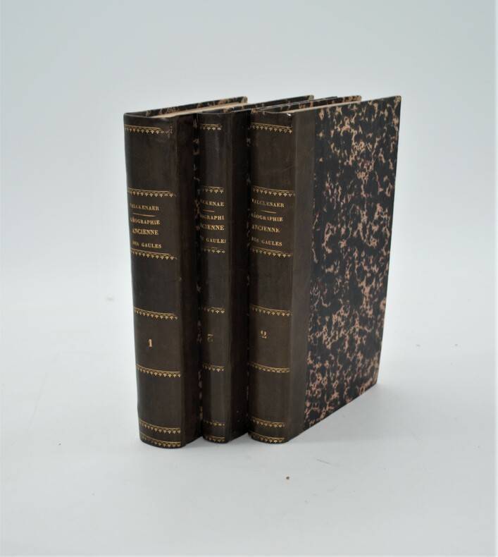
1839PHO-936A Paris, Librairie de P. Dufart et A Saint-Pétersbourg, chez J.-F. Hauer et Cie, 1839, 3 volumes in-8 de (210x135 mm) , 3ff. -566 pp, 520 pp, lxiv-204 pp., relié demi cuir époque , dos lisse avec auteur , titre et tomaison , bel exemplaire sans l’atlas.
50731aafBern, Geographischer Karten-Verlag, Kümmerly & Frey, ca. 1900, in-8vo, 24 S. + 26 Farbigen Karten, Original-Pappband, Leinen Rückenstreifen.
187453609ABBerlin, In Commision der Vossischen Buchhandlung, 1874. gr2° grFolio (60x35) mittig gefaltet, Umschlag + 25 doppelseitige Tafeln, Umschlag + 25 Tafeln, dazu Supplement-Tafel, [3 Warenabbildungen] 2., verbesserte Aufl. der Umschlag mit unterlegten Läsuren, die 25 Tafeln gut und sauber, die Supplement-Tafel stärker gebrauchsspurig (angerändert, fleckig), handschriftl Besitzvermerk 8. Württ. Inf.-Reg. Kriegsschule Kassel 1875,
195957182ABBerlin; Stuttgart, Columbus Verlag : Paul Oestergaard : Kartographische Anstalt Dr. Wagner, (1959). 2° Folio (42x39), 330 S., mit 66 meist doppelseitige Karten, roter wattierter Oln imprägniert mit goldPrägung auf Deckel und Rücken, nahezu ungenutzt, schönes gepflegtes Exemplar,
189725421ABGotha, Justus Perthes, 1897. 4° (32 x 20 cm). 4 Bl., 45 doppelblattgroße farbige Karten. Original-Halblederband. 7., berichtigte und erweiterte Auflage.
189035302Luzern, Verlag E.Wagner, 1890. 12 Karten (Leporello), 1 Übersichtskarte, VI, 80 S. + Werbung (25 S.) Kl.-8°, OLn. mit goldgeprägemt Titel
1948Lucerne, Wagner, fin XIX° siècle. In-12, percaline rouge, 83p. Avec 12 cartes géographiques. Publicités d'tablissements en fin d'ouvrage. Légères rousseurs, t.b.e.