SYMES MICHAEL.Livre Rare Book

12 889 résultats
1804P1-5CP1-4DParis, Buisson, 1804. 3 volumes de texte in-8, reliés pleine basane époque, dos lisse ornés, pièce de titre maroquin rouge et de tomaison verte, tranches marbrées, filets or sur les plats, reliure frottée, coins émoussés. 396,375 et 318pp.(reliure T3 diff.) Un ATLAS in-folio (37x28 cm), relié demi-basane à coins, dos plat orné, manque de cuir au dos, reliure usagée, intérieur en bon état, pas de rousseurs. 2ff- 2 cartes dépliantes 28 planches. Illustré de deux cartes dépliantes et 28 planches de costumes, vues et histoire naturelle, gravées en taille-douce par Tardieu, Delignon, Niquet et Delvaux. Atlas of the French translation an account of an embassy to the kingdom of Ava , 2 folding maps and 28 plates half contemporary bounding, binding worn, the plates are very clean, no foxing or water stain. Size folio (37x28 cm). 3 volumes of text (binding vol.3 diff.)
185909897Gotha, Perthes, 1859. PP, Block gebrochen, Karten teilw. gelöst, angerändert und teilw. fleckig, 11.Auflage
18541402Gotha: Perthes 1854. 5 ungez. + 36 meist grenzkol. lith. af. mit 38 Karten Quer 8° HLdr. *1 Kartenblatt lose, Rücken bestossen, braunfleckig* Rücken fehlt zu 1/3*.
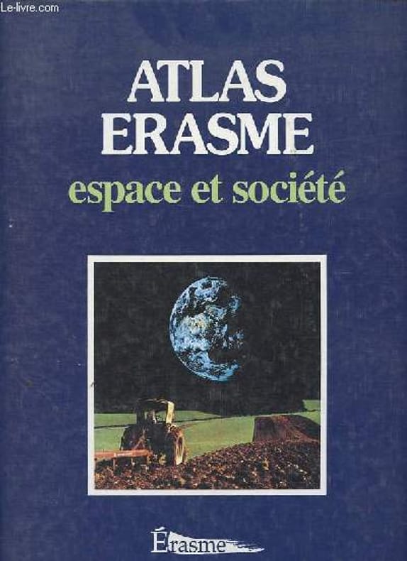
1998R200134226Erasme. 1998. In-4. Broché. Etat d'usage, Couv. légèrement pliée, Coiffe en tête abîmée, Papier jauni. 127 pages, nombreuses cartes en couleur hors texte - annotation à l'encre sur la page de garde.. . . . Classification Dewey : 912-Atlas, cartes et plans
New English In original cloth bdg. In publisher's original slip-case and box. Elephant folio. (48 x 33 cm). In Turkish. Many color and b/w ills. 264 p. 1513 World atlas of Piri Reis. A very heavy volume. Pîrî Reis 1513 dünya haritasi. XIII. yy. sonrasi Islâm-Osmanli haritaciligi. Edited by Bülent Özükan.
29644629-nnew. unknown
2017x-9652241075Moshe Dayan Ctr for Middle Eastern 2017. Paperback. New. 310 pages. 9.50x6.50x0.50 inches. Moshe Dayan Ctr for Middle Eastern paperback
200735316s.l. : Ordnance Survey, 2007. Gr. 8°. Folded map. (OS Explorer Map ; 452)
198739268Berlin: Diesbach 1987. Mit zahlr. ganzseitigen, farb. Abb. 151 S. Pp. m. Schutzumschlag. 27x27 cm.
2011Q-0762440139Running Press Adult 2011-01-11. Paperback. New. In shrink wrap. Looks like an interesting title! Running Press Adult paperback
198522147Holzminden, Ursula Hinrichsen Verlag, 1985. gr. 8°, Faksimile-Druck der Ausgabe von 1847 in einer Auflage von 500 Ex., Bezahlung per PayPal möglich , we accept PayPal, min. gebr.sp., Halbleinen
20192-1703412176Independently published 2019. Paperback. New. 434 pages. 6.88x4.25x1.09 inches. Independently published paperback
200817573BBStuttgart, Hippokrates-Verlag, 2008. 8°, XXI, 413 S. mit 384 s/w-Illustrationen, original Kartonage (Paperback), 4., aktualisierte Auflage Einband im Rückenbereich ein wenig aufgehellt, Vorderdeckel mit einem kleinen, Rückdeckel mit einem winzigen Eckknick, Rücken mit einem Längsfältchen, sonst ein gutes Exemplar ohne Anstreichungen, ohne Vorbesitzvermerke, ohne Eckknicke etc.
183745186Natorff, Bln. 1837. Mit gestochenem Titel, 78 grenzkolorierte Kupfersticharten u. 4 gestochenen Übersichten. Quer-4°. Hldr.d.Zt. Berieben u. bestossen. Durchgehend wenig bis stärker stockfleckig. Die "Spanien und Portugal" Karten sind numerisch falsch eingebunden.
GOR004553433Paperback. Very Good. paperback
1970041951Graz., Akademische Druck- und Verlagsanstalt., 1970. Herausgegeben von der Steiermärkischen Landesregierung unter Mitarbeit des Naturwissenschaftlichen Vereines für Steiermark. Die Karten sind datiert von 1953 - 1970. Enthält 19 ausfaltbare Karten, 71 Kartenseiten , meist farbig, teilweise mehrere Karten pro Seite. Außerdem Titelblatt, Verzeichnis der Mitarbeiter. Übersicht der Karten, der Steirischen Gemeinden( 2 Blätter). Zusammen 94 Blätter. Verzeichnet geographische Karten, Karten zu Oberflächenformen, Klima und Phänologie, Böden, Vegetation, Tierwelt, Bevölkerungsverteilung und -entwicklung, historische Entwicklung , Siedlungsformen, Mundarten, Land- und Forstwirtschaft, Energiewirtschaft, Industrie, Handel und Gewerbe, Verkehr, Fremdenverkehr, Verwaltung, Kultur.; Zustand: Aus einer Institutsbibliothek ausgeschieden, Einbandränder leicht berieben, Einbanddeckel gestempelt, Vorsatzblatt und vereinzelt Kartenrückseiten ebenfalls gestempelt, die Lochung (Ringbuch) ist bei den ersten Karten minimal eingerissen. Der erst 1973 eschienen Band: Erläuterungen zum Atlas der Steiermark , fehlt. Quer - 50 x 36 cm. S OHalbkunstleder - Ringordner.
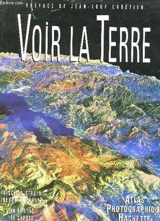
1992RO30121293HACHETTE. 1992. In-Folio. Relié. Bon état, Couv. convenable, Dos satisfaisant, Intérieur frais. 304 pages augmentées de nombreuses illustrations en couleurs dans et hors texte- préface contrepliée- contreplats illustrés en couleurs. Avec Jaquette. . . Classification Dewey : 912-Atlas, cartes et plans
1993RO30040554ATLAS PHOTOGRAPHIQUE HACHETTE. 1993. In-4. Cartonné. Bon état, Couv. convenable, Dos satisfaisant, Intérieur frais. 304 pages. Nombreuses photos en couleurs dans le texte et hors texte. Jaquette : état d'usage, déchirure.. Avec Jaquette. . . Classification Dewey : 912-Atlas, cartes et plans
Basel Ex Oficina Henricpetrina, [at end:] 1571. 3ll, + 1bl, 52ll. 977pp. colophon on p. 977v +1l. with Printer?s device on verso with no other text. 27 double page maps and 7 smaller maps in text. Text in Greek and Latin printed in parallel columns. Contemporary vellum with the spine painted and decorated. Signatures of previous owners on title page. Very rare variant of the first illustrated edition of Strabo?s Geographia. In this variant the name of the editor Guilielmus Xylander (Wilhelm Holzman; 1532?-1576) is omitted from the title. Xylander, a well-known Greek scholar, wrote commentaries for this edition and translated the original Greek text into Latin. Strabo was a Greek geographer of the early Roman Empire. His Geographia was based on his own direct observations and information that he had gathered from others. It is regarded as one of the earliest scientific geographies. It contains twenty-seven double-page engraved maps by Sebastian Münster and seven smaller maps (Euboea, Crete, Lesbos, Rhodes, Cyprus, Cephalonia and Africa) attributed to Johann Honter and others. The printer Sebastian Henricpetri (1546-1627) was heir of the successor of Sebastian Münster and for this reason was able to use the xylographic blocks of Münster?s maps for Ptolomy´s Geographia and for Honter´s De Cosmographia Rudimentis (1561). No copies of this variant of Strabo´s Geographia in Worldcat. Adams 1907 (standard edition); Phillips, A List of Geographical Atlases in the Library of Congress, Washington, 1914, vol. III, 3390, pp. 78-79 (standard edition).
Basileae, Hericpetrina, (Al fin:) 1571, 33 x 21,5 cm., pergamino de época, lómo pintado y rotulado, 3 hojas + 1 hoja blanca + 52 hojas + 977 págs. de texto griego-latín en columnas paralelas, incluso 27 mapas plegados y otros 7 mapas pequeños intercalados en el texto + 1 hoja con la marca del impresor. (Firma de anterior propietario en portada. Variante muy rara de la primera edición ilustrada de Geographia de Estrabon. En esta variante, el nombre del editor Guilielmus Xylander [Wilhelm Holzman] se omite del título. Xylander, un conocido erudito griego, escribió los comentarios para esta edición y tradujo el texto griego original al latín. Esta obra se considera una de las primeras geografías científicas. Contiene veintisiete mapas a doble página grabados por Sebastian Münster y siete mapas más pequeños, Eubea, Creta, Lesbos, Rodas, Chipre, Cefalonia y África, atribuidos a Johann Honter y otros. El impresor Sebastian Henricpetri fue heredero del sucesor de Sebastian Münster y por ello pudo utilizar los bloques xilográficos de los mapas de Münster para la Geografía de Tolomeo y "De Cosmographia Rudimentis" de Honter. No hemos localizado ningún ejemplar de esta variante en el Worldcat). {Basel Ex Oficina Henricpetrina, [at end:] 1571. 3ll, + 1bl, 52ll. 977pp. colophon on p. 977v +1l. with Printer?s device on verso with no other text. 27 double page maps and 7 smaller maps in text. Text in Greek and Latin printed in parallel columns. Contemporary vellum with the spine painted and decorated. Signatures of previous owners on title page. Very rare variant of the first illustrated edition of Strabo?s Geographia. In this variant the name of the editor Guilielmus Xylander (Wilhelm Holzman; 1532?-1576) is omitted from the title. Xylander, a well-known Greek scholar, wrote commentaries for this edition and translated the original Greek text into Latin. Strabo was a Greek geographer of the early Roman Empire. His Geographia was based on his own direct observations and information that he had gathered from others. It is regarded as one of the earliest scientific geographies. It contains twenty-seven double-page engraved maps by Sebastian Münster and seven smaller maps (Euboea, Crete, Lesbos, Rhodes, Cyprus, Cephalonia and Africa) attributed to Johann Honter and others. The printer Sebastian Henricpetri (1546-1627) was heir of the successor of Sebastian Münster and for this reason was able to use the xylographic blocks of Münster?s maps for Ptolomy´s Geographia and for Honter´s De Cosmographia Rudimentis (1561). No copies of this variant of Strabo´s Geographia in Worldcat. Adams 1907 (standard edition); Phillips, A List of Geographical Atlases in the Library of Congress, Washington, 1914, vol. III, 3390, pp. 78-79 (standard edition)}.
20457Amsterdam/ Antwerpen, Atlas, 2000 Paperback , 130 x 210mm., 251pp. ISBN 9045003287.
197824276Wellington, 1978. 4 n.n. Bll., 46 (1) SS. mit 20 Karten und rückseitigen Erläuterungen. Fol. (ca. 46 x 33 cm), original weiß-blauer Pappband, Vorderdeckel goldgeprägt.
8vo., First Edition, with title in red and black, and 23 full-page coloured maps in the text, neat signature on front wrapper; original printed wrappers, sewed as issued, a near fine copy.
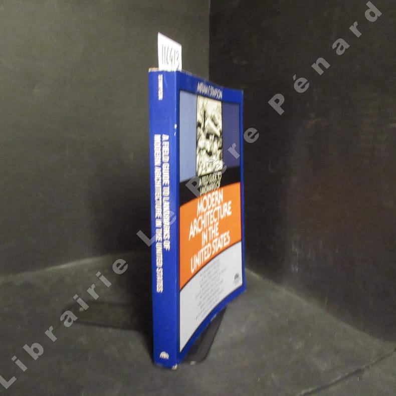
19851164131985 A Spectrum Book / Prentice-Hall, Inc. - 1985 - In-8, broché - 430 pages - Très nombreuses illustrations en N&B in et hors texte - Ouvrage en anglais - Outstanding architecture in all fifty states in the USA. Includes maps, locations, concise descriptions, name of architects.
191019293Gotha, J. Perthes, 1910. 2°. Scjhöner goldgeprägter Original Halbleder . 9. v. Grund auf neubeab?.Auflage.