Hayman, Bob: EditorMareMagnum
Tessier ColetteLivre Rare Book
CARNETS NOIRS (LES)
2017500048752DE BOREE 2017 10 7x17 3x1 5cm. 2017. Broché.

Démons et Merveilles · Joinville, France4,00 €
4 437 résultats
144 pages plus section with numerous full-page black and white illustrations. Captain Hayman was the skipper of the ferry crossing Okanagan Lake between Kelowna and Westbank before it was replaced by a floating bridge. Clean, bright and unmarked. Excellent copy. Book
As New As New English In original bdg. with original dust wrapper. DJ. Oblong large 8vo. / Small 4to. (29 x 22 cm). Color and b/w ills. In English and Turkish. 1000 copies were printed. 0117 / 1000. 171 p. Carian civilisation Southwest Anatolia.= Güneybati Anadolu Karya Uygarligi. Translation: Nese Olcaytu. Photography: George Simpson.
New New English In original bdg. with original dust wrapper. DJ. Oblong large 8vo. / Small 4to. (29 x 22 cm). Color and b/w ills. In English and Turkish. 1000 copies were printed. 0018 / 1000. 171 p. Carian civilisation Southwest Anatolia.= Güneybati Anadolu Karya Uygarligi. Translation: Nese Olcaytu. Photography: George Simpson.
54 pages. An introduction to one of the richest, most exciting environments on Vancouver Island's east coast: the shoreline. Intended to provide landowners living on marine waterfront with the information they need to conserve and protect their natural marine heritage. An introduction to marine wildlife and habitat found between high and low tides, and a look at some of the positive things we can do to protect the shore. Light wear. Unmarked. Book
2017500048752DE BOREE 2017 10 7x17 3x1 5cm. 2017. Broché.
2017500083116DE BOREE 2017 10 7x17 3x1 5cm. 2017. Broché.
19011708963574894GLN-549, Service géographique de l'Armée 1901
19021708964333701GLN-549, Service géographique de l'Armée 1902
19021708966687516GLN-549, Service géographique de l'Armée 1902
19031708965819784GLN-549, Service géographique de l'Armée 1903
18981708967402636GLN-549, Service géographique de l'Armée 1898
18981708966420187GLN-549, Service géographique de l'Armée 1898
19011708964738078GLN-549, Service géographique de l'Armée 1901
19111708966204361GLN-549, Service géographique de l'Armée 1911
190764490- Carte dépliante entoilée. 72 x 64 cm.
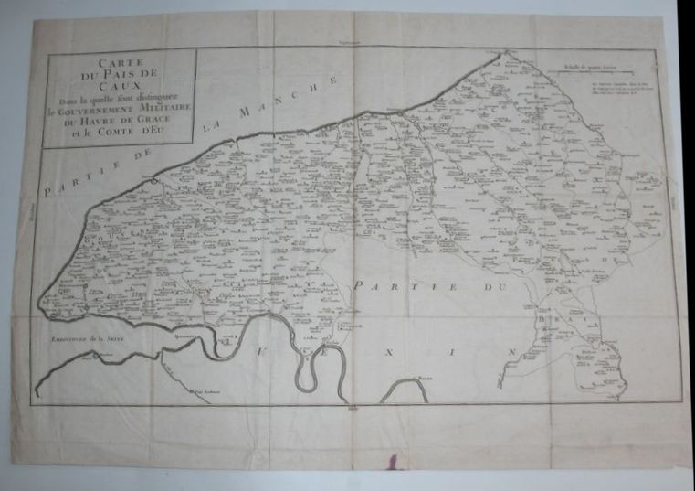
6788S. l., P. F. Tardieu et P.H. Macquet, circa 1790. 2 feuilles à superposer (102 x 49,5 cm) x 2. Exemplaire avec réhauts de couleurs et à très grandes marges avec les îles Anglo-normandes dans un encart.
16272Paris, Giffard, 1740. Carte gravée en noir, 64 x 45 cm, trace de pliures.
6950Puteaux, De Dion-Bouton, sd. Carte entoilée de 81x95 cm, enroulée sur deux tringles de bois noirci.
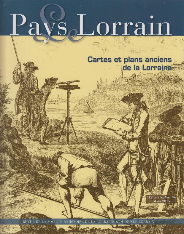
2015SPN-943Nancy : Société d'Archéologie Lorraine / Musée Historique Lorrain, 2015. Revue 27,5x22cm, couverture illustrée en noir, 103 pages illustrées en noir et couleur.
23256Paris, Dumont, 1916. Deux volumes in-8 de XIV, 566 et 597 pages. Quatre planches hors-texte et figures in-texte. Préface de l'Amiral Buchard. Bon état intérieur. Broché, couverture beige imprimée en noir illustrée d'une vignette. En bon état .
68075Chartres, Imprimerie Durand, 1940, in-4, cartonnage souple, VIII - 108 pp., bibliographie, table des matières, Bon état du papier malheureusement la couverture est en mauvaise état, mais complète !
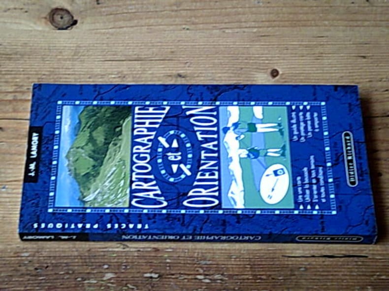
199524931Editions Didier Richard 1995 143 pages collection Traces pratiques. In-8 étroit. 1995. Broché. 143 pages. Complet du pense-bête
1528425960.Gpaperback. Good. Access codes and supplements are not guaranteed with used items. May be an ex-library book. paperback
1915K-1086Wien, Milit?rgeographisches Institut, ca. 1915. Formatangabe ca 50 x 37 cm, gefaltet zu 8 Segmenten, Ausgabe: einf?rbig ; Zustand: gut
028257509X.Gpaperback. Good. Access codes and supplements are not guaranteed with used items. May be an ex-library book. paperback