PIERRE DUBOURG-NOVESLivre Rare Book
19 résultats
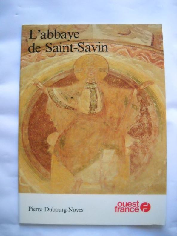
1652182951652 Broché - 16,5 x 23 - 32 pp - année 1984 - Editions Ouest France - illustrations - photographies de Philippe Thomas
164025807W. J. Blaeu, um 1640. Gefaltete, altkolorierte Kupferstich-Karte von der Französischen Provinz Berry. Blattmaß 54 x 44 cm. Kleiner Riss in der knickfalte im oberen Rand, kleine Fehlstelle in der linken Ecke und minimal gebräunt. Fotos gern auf Anfrage.
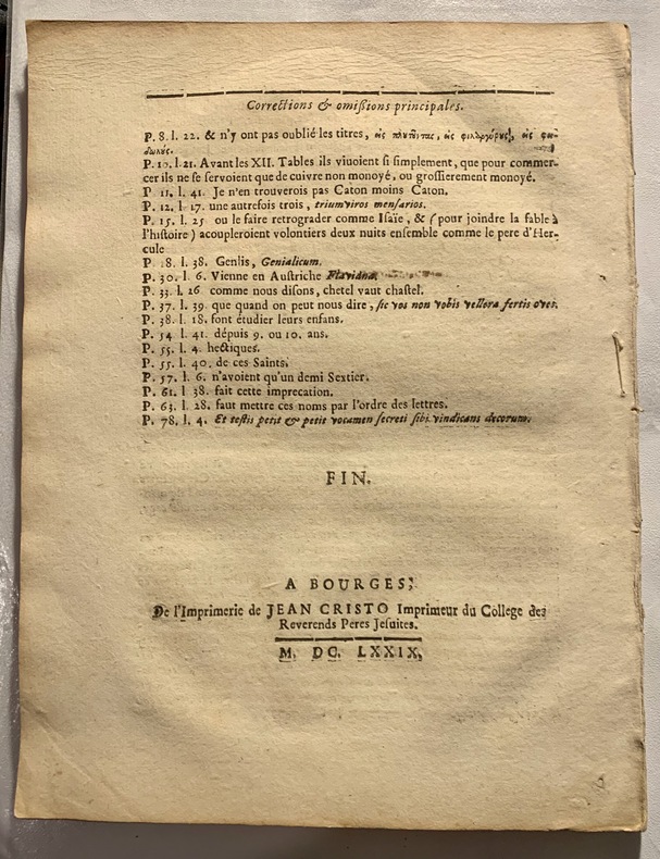
1679124561679 ( Bourges, de l'Imprimerie de Jean Cristo, Imprimeur des Revérends Pères Jésuites), 1679; brochure in-4° de 91pp. 3 corrections manuscrites dont un ajout, une rature et rectification d'une date. Plusieurs feuillets jaunis, rares rousseurs. Cette étude, sans couverture, est vraisemblablement sortie d'une reliure.
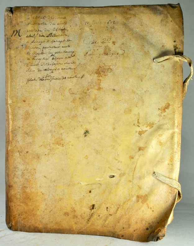
164728786BOURGES 1647 1 document d'un feuillet manuscrit à l'encre brune sur vélin parcheminé, format : 20,7 x 22,5 + attaché avec un document de 4 pages (un feuillet plié en deux) manuscrit à l'encre brune sur velin parcheminé, format : 29,7 x 20,5 cm, signature à la fin du texte par FRANCOIS GUYARD, NOTAIRE, TABELLION, GARDE-NOTES DE LA GENERALITE DU BERRY, RESIDANT A BOURGES, BOURGES, LE 28 DECEMBRE 1647, CONSTITUTION DE RENTE CONSENTIE PAR ANDRE MONTAGNE, LABOUREUR DEMEURANT EN LA PAROISSE DE SAINT-JUST AU PROFIT DE L'HONORABLE HOMME ETIENNE PONCET, PROCUREUR DE L'ELECTION ET GRENIER A SEL DE BOURGES, DEMEURANT A SAINT PIERRE LE MARCHÉ, BOURGES, LE 28 DECEMBRE 1647,
16172497190704015Random House Audio 1617-01-01. Audio CD. Like New. CD plays perfectly & the case looks good. Random House Audio unknown
1651284611651 une carte ancienne gravée sur cuivre (Copper etching) en noir . Format : 44 x 58 cm, par Nicolas SANSON carthographe, 1651 [s.n.] Editeur,
1691226371691 Bourges : Par Mathieu Levez, 1691,[XVI-] 1084-29 p.+(4)p.- erratas,permissions,In-4 , 22 cm,reliure trés usée,coins et dos,texte bon,trés rare,dans l'état
1656111561656 Lutetia Parisiorum, Apud Sebastianum Cramoisy…, Et Gabrielem Crampisy, 1656 ; in-4°, plein veau granité brun de l'époque, dos à nerfs très orné de larges felyurons et fers dorés, titre doré, tranches mouteées de brun et rouge; Titre imprimé en noir et rouge avec une grande vignette ornée de la marque “aux deux Cygognes “des Cramoisy, avec leur armoiries au sommet. 3ff. ( dont le titre orné) - 641 - (3)pp. Ex-libris manuscrit au bas du titre et au 1er feuilet blanc “ Heurtault du Mez“ (famille d'Issoudun).
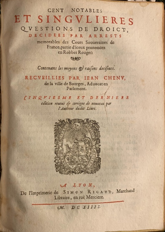
1614124801614 Lyon, Imprimerie de Simon Rigaud, 1614; 2 parties en 1 volume in-4° de (4)ff. (dont le titre en noir et rouge) - 446pp. - (12) ff. de table ;(6)ff. dont titre en noir et rouge - 396pp. - (7) ff. de table; lettrines et culs-de-lampe.Titres imprimés en noir et rouge, avec vignette illustrée de Rigaud. La 2e et dernière partie porte en titre : " Cent notables et singulières questions de droict, décidées par arrests mémorables des Cours Souveraines de France, partie d'iceux prononcéz en Robbes Rouges, contenant les moyens & raisons decisives recueillies par Jean Chenu, de la ville de Bourges advocat en Parlement." Plein reliure époque, filet doré encadrant les plats, fleuron doré au centre, dos à nerfs orné de fleurons dorés, titre doré sur une étiquette de titre de maroquin citron (postérieure).
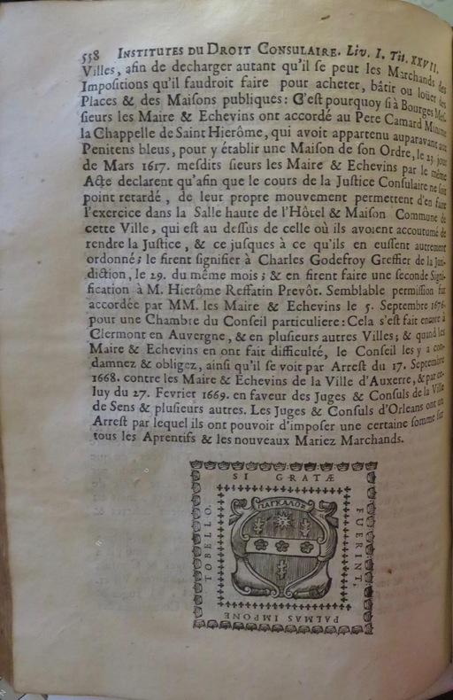
1700102011700 A Bourges, Chez François Toubeau, 1700; 2 tomes treliés en 1 volume in-4°, plein veau brun granité de l'époque, dos à nerfs orné de fleurons et fers dorés, titre doré, traches rouges mouchetées. (19)ff. ( titre, épitre, préface, avis, table des titres), 558pp.;(1)f. ( titre), 403pp., (5)pp. ( table des titres). Ex-libris manuscrit au titre du Tome I: "Bonnardel des Senaudes“ et “ Val Bonnardel“. Bonnardel était une famille consulaire de Bourges.
1691155141691 Bourges, Mathieu Levez, 1691, in 4 de (16)-1083-(22) pp., la table a été anciennement complété à l'écriture manuscrite sur 6 feuillets, rel. d'ép. de plein veau brun, dos à nerfs orné de fers dorés, pièce de titre de maroquin brun (refaite), restaurations, bon ex.
168947354London, William Berry, (1689). 56x87 cm. Large engraved map of Denmark in original outline colouring. Perhaps the largest engraved map of Denmark from the 17th century.
168947354London William Berry 1689. 56x87 cm. Large engraved map of Denmark in original outline colouring. Perhaps the largest engraved map of Denmark from the 17th century. <br/><br/><em>Berry is sometimes called the English Sanson as he copied Sanson's maps and his followers Jaillot Seller and Senex. This scarce map is a copy of Jaillot's map from 1674 in spite of the printed information "Described by Sanson corrected and amended by William Berry." The large map shows "Schonen Blecking Halland Dukedom of Sleswick and the Diocess of Holstein." Bramsen p. 11 kartoushen and p. 120. </em> unknown
168942652London, William Berry, (1689). Ca 58x88 cm. Frame and under plexiglass. Large engraved map of Denmark in contemp.outline colouring. Perhaps the largest engraved map of Denmark from the 17th century.
168942652London William Berry 1689. Ca 58x88 cm. Frame and under plexiglass. Large engraved map of Denmark in contemp.outline colouring. Perhaps the largest engraved map of Denmark from the 17th century. <br/><br/><em>Berry is sometimes called the English Sanson as he copied Sanson's maps and his followers Jaillot Seller and Senex. This scarce map is a copy of Jaillot's map from 1674 in spite of the printed information "Described by Sanson corrected and amended by William Berry." The large map shows "Schonen Blecking Halland Dukedom of Sleswick and the Diocess of Holstein." - Bramsen p. 11 cartouschen a. p. 120. </em> unknown
167291881672 A Paris, Chez Jean de La Caille, 1672 ; in-12°, pleine basane brune de l’époque, dos à nerfs muet; 150pp.y compris le titre avec vignette gravée( marque de l’ imprimeur) .Ex-libris manuscrit au titre “ Rossignol” et inscription manuscrite du nom de l’auteur en clair et au 1er feuilet blanc : “ Le présent livre a été fait par moi Toussaint de la Rue Le Jeune advocat au Parlement ...(?)de Bourges qui …(suite illisible), 1672. “ Signé De La Rue.
160141187, , 1601-1613. Manuscrit in-4 sur vélin (24 x 32,5 cm) de (72) ff., vélin souple à recouvrement, lacets (reliure de l'époque).
1680024707London: William Berry 1680. .Kingdoms and States which are found there at present/Described by Sanson/Corrected and amended By William Berry =Kopftitel; Text der figürlich reich verzierten Kartusche oben rechts: Asia Divided into its Principall Regions in which may be seen the extent of the Empires Monarchies Kingdoms and States which at present divide Asia/To the Most serene and Most Sacred Majesty of Charles II./By the Grace of God King of Great Britain France and Ireland/This Map of Asia is humbly Dedicated and Presented By Your Majesties Loyal Subject and Servand William Berry; Text der reich verzierten Kartusche links oben: Scale es folgen Maßstäbe verschiedener Länder/London/Sold by William Berry at the Sign of the Globe between Charing-Cross and White-Hall/1680; SW-Kupferstich-Landkarte nach Nicolas Sanson d'Abbeville gestochen von William Berry; ca. 51 x 39 cm; Falzspuren einige Tintenflecken hauptsächlich ausserhalb des Druckbildes mässige Lichtverfärbung; professionell hinter Glas gerahmt in schwarzem Holzrahmen; äußerst selten; for description in other languages of this extremely rare map please don't hesitate to contact me. . Gut. Landkarte. William Berry unknown
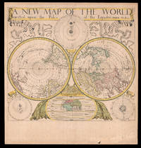
168018434London: Sold by Will Berry at the Signe of the Globe between Chearing-Cross and White-Hall c1680. 425 by 480mm 16.75 by 19 inches. The first polar projection world map published by an Englishman Engraved map fine original hand-colour Ptolemaic Tychonic and Copernican diagrams of the solar system around map map of the ancient world below. The first world map on polar projection to be published by an Englishman. Polar Projection Polar projection is a type of azimuthal projection based on a plane perpendicular to the Earth's axis through the poles. On polar-centered azimuthal projections longitude is represented by radial straight lines and latitude by concentric circles or parallels. One of the earliest examples of a polar map of this kind is Mercator's 1569 world map on which the Arctic is shown in an inset map on a polar projection rather than included as part of the main image on the eponymous cartographer's projection. Other early double hemisphere world maps on north and south polar projections include Gerard De Jode's Hemispheriu ab Aequinoctiali Linea 1593; Isaac Habrecht's map of 1628; Janssonius' Typus Orbis Terrarum from the same year; Jean Boisseau's Nouvelle Description de toute la terre universelle of 1640; and Novus Planiglobe Terrestris Per Utrumque Polum Conspectus engraved by Joan Blaeu before 1672 the only extant example of which bears the later imprint of Gerard Valck published around 1695. The present map by Berry is an example of the first map on polar projection to be published by an Englishman. The Map Published around 1680 Berry's map shows both the north and south hemispheres on a polar projection at a scale of approximately 1:100000000 with both extending to the equator which is scaled. The coast of Australia is incomplete and California is shown as an island. Other cartographic myths include the massive single Great Lake and the Straits of Anian. The sizes of the Philippines and Japan are exaggerated and the southern tip of South America has been truncated due to the projection. At first glance the work would appear to be a copy of Blaeu/Valck Novus Planiglobe Terrestris Per Utrumque Polum Conspectus; and although Berry's English title is an almost direct translation of Blaeu's work it is no merely slavish copy. Berry has reversed the hemispheres and significant cartographic differences are evident especially in the depiction of South America. Surrounding the hemispheres are cosmological diagrams showing the Ptolemaic Copernican and Tychonic solar systems as well as a smaller map of the ancient world. This shows only Europe Asia and Africa and is divided into layers of "temperate zone" "frozen zone" "unhabitable" and "habitable by the Antients" regions. Ribbons ornament the upper left- and right-hand corners streaming from the ends of the simple title banner along the upper edge. The map was engraved by John Rich who also executed his road map of Great Britain the year before. William Berry 1639-1718 In his Printed Maps in the Atlases of Great Britain and Ireland 15791870 Thomas Chubb describes Berry as a bookseller geographer and engraver who was active between about 1670 and 1703. Berry was the son of a Warwickshire baker probably apprenticed alongside his future partner Robert Morden c1650-1703 to Joseph Moxon 16271691 an engraver mapmaker globe-maker and instrument-maker. His most enduring partnership was later with Morden and together they sold topographical works prints maps charts and globes. Among their shared works were A New Map of the English Plantations in America 1673 William Leybourn's An introduction to astronomy and geography: being a plain and easie treatise of the globes 1675 and Playing cards depicting the Counties 1676. In 1677 they petitioned the Attorney General for "a licence to do all general and particular maps of the several parts of the world according to an alphabetical manner and method first projected by them against any other undertakers". Although there are individual maps and globes prepared by the pair the larger project never came to fruition although Berry is best remembered as the "English Sanson" for the set of maps of the world that he corrected and amended after Nicolas Sanson which were issued separately between 1680 and 1689. Rare we are only able to trace one institutional example held at The Library of Congress and a smaller facsimile at the British Library. Not in Shirley; LC G3200 1675 .B4. Sold by Will Berry at the Signe of the Globe between Chearing-Cross and White-Hall,