48 657 résultats
42591Ardant ,1861, in-12 de 106 pages ,cartonnage éditeur ,Très bon état , .(2 photos du livre sur mon site https://www.vieuxlivre.fr) .Les frais de port pour la France sont offerts à partir de 25 euros d'achat (Mondial relay ). (colissimo suivi +6,90 ).
40952Cévennes, Musée du Désert ,1932, in-8 de 286 pages ,illustrations hors-texte ,broché ,Très bon état , .(5 photos du livre sur mon site https://www.vieuxlivre.fr) .Les frais de port pour la France sont offerts à partir de 25 euros d'achat (Mondial relay ). (colissimo suivi +6,90 ).
194213692Paris Horizons De France 1942 Grand In-8 Ecu 208 pp, par Marie Bullier, Pierre de Saint Jacob, Pierre Quarré, Charles Oursel ; avec 2 dessins hors-texte par Jean Moreau et des planches documentaires de L.-W. Graux. Ill. en noir et couleurs, planches dépliantes, couverture couleurs. Ensemble légèrement passé.
29690aafParis, Gallimard, 1995, in-8°, LVIII + 1409 p., rel. de l'éd. (sans rhodoid), etui ill., bel exemplaire.
115996aafo. J. (ca. 1920), ca. 47 x 60 cm, auf Leinwand gezogen.
46103zurich ,sd, in-8 de xx pages ,dépliant ,broché ,Bon état , .(2 photos du livre sur mon site https://www.vieuxlivre.fr) .Les frais de port pour la France sont offerts à partir de 25 euros d'achat (Mondial relay ). (colissimo suivi +6,90 ).
137870aafZürich, Photoglob, s.d. (ca. 1925), in-8° oblong, 1 feuilles avec 36 photos r./v., , brochure originale, couverture illustrée en couleur.
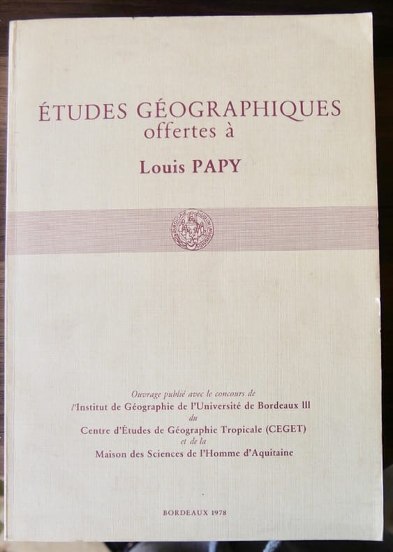
562593Ouvrage publié avec le concours de l' institut de Géographie de l'Université de Bordeaux III, du CEGET et de la Maison des Sciences de l'homme d'Aquitaine, Bordeaux 1978. In-4 broché, 429pp, portrait en frontispice, nombreuses fig. et illustrations.
59951København & Hørsholm, 1932-54. Small folio. All nine issues in the original printed wrappers. In excellent condition. With numerous maps and plans.
17816109Altona, 1781. 4to. Cont.hcalf. Richly gilt back. (12), 28, 354, (14) pp. and 15 fold.engr.plates (among these 3 maps). Printed on good paper. Previously owned by ""Chr.Molbech,Sorae 1802"" (in his own hand).
178655911Paris, L'Imprimerie Royale, 1786. 4to. Contemp. full mottled calf. Raised bands. Gilt spine. Covers with triple gilt lineborders. With the crowned monogram in gold of King Louis XVI on both covers. (2),43 pp. Wide-margined. On good paper. A few scattered brownspots. Given to the Danish astronomer Thomas Bugge, probably on his stay in Paris.
183755301(Paris, Imprimerie Royale),1837. Clothbacked boards. Orig. blue wrapper as title-page pasted on upper cover. Stamp on first page. 45 pp.Offprint/Extrait from ""Annales Maritimes et Coloniales. - 1827"". 12 pp. and 1 large folded lithographed map.
63983Paris, Economica, 2001. 18 x 24, 249 pp., plusieurs illustrations, broché, très bon état.
188946783Gotha, Julius Perthes, 1889. 4to. No wrappers. IV,91 pp. a. 1 folded maps.
188146762Gotha, Julius Perthes, 1881. 4to. No wrappers. (2),77 pp., and 3 large folded map in colour.
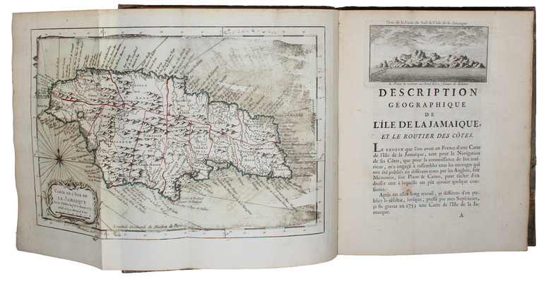
175854733Paris, Didot, 1758. 4to. Contemp. boards, later backed with calf. Spine with gilt lettering. Title-page with stamp. Engraved title-page and printed. XII,171 pp., 1 engraved vignette. With 21 (of 22) engraved maps, plans and views (8 views in the text). 6 of the maps are handcoloured, some folding. The lacking map is ""Carte des Isles des Vierges"". Wide-margined and clean, only a few scattered brownspots.
182953962Paris, L'Imprimerie Royale, 1829. 4to. Contemp. hcalf. Gilt spine. Fronthinge and spine-ends repaired with a small loss of spine at ends. Stamp on title-page. (4),124 pp. and 1 large folded enraved map. Internally clean and fine, wide-margined, printed on good paper.
179551142Göttingen, Vandenhök und Ruprecht, 1795. Contemp. hcalf. Gilt spine. Titlelabel with gilt lettering. A paperlabel pasted on top of spine. Stamps on title-page. VIII,(10),514 pp. and 7 folded engraved plates. Clean and fine.
188546788Gotha, Julius Perthes, 1885. 4to. No wrappers. (4),100 pp., 2 maps (1 large folded), textillustr.
181540672Weimar, Landes=Industrie=Comptoir, 1815. Contemp. hcalf. Gilt spine.Tome-and titlelabel with gilt lettering. VIII,582 pp., 5 folded maps, views and plans. The large map, 50x47 cm.: ""Carte de la Baltique & des Regions de cette Mer. Par H. Rhue...1815."" A few scattered brownspots.
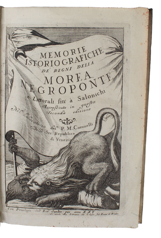
168649367Venezia, (1686). 8vo. (16,5x11 cm.). Contemp. full vellum. Halftitle-page. Engraved Title-page (the Lion of St. Mark). (8),237,1 blank,(2- Indice) pp. and 41 (of 42 ?) double-page folded engraved maps and plans (bird's-eye views or plans of fortified towns and places etc.). Internally fine and clean. Printed on good paper. A fine copy.
189546768Gotha, Julius Perthes, 1895. 4to. No wrappers. (2),132 pp. and 3 large folded maps.
188946781Gotha, Julius Perthes, 1889. 4to. No wrappers. (2),100 pp. Frontispiece, 2 large folded maps and 1 smaller map.
181754708Paris, Langlois, 1817. Large folio. (56,5 x 41 cm.). Contemp. modest hcloth. Spine with wear. Double-page engraved title-page (numb. as plate XIII), 1 engraved double-page map of France Tableau D'Assamblage...), 23 double-page engraved maps (of which 21 are handcoloured). With all plates, numb. I-XXIV + the general map. All maps stamped at foot of paper, outside images. Plate XXIV: ""Tableau et Administratif de la France"". The general map handcoloured but margins outside image with some soiling. Otherwise internally fine.
193857997New York, American Geographical Society, 1938. 4to. Orig. full cloth. and original slip-case. XX,255 pp., textillustrations, 6 large folded maps in slip-case with ""Navigational Notes.."", 26 pp.