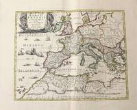
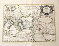
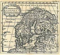
(SKANDINAVIA). SANSON, N :Biblio.com
105 résultats
175254049Amsterdam. Uten år. 1752. Originalt kobberstikk. Arkets størrelse : 175 cm X 164 cm. Fransk. <br/><br/><em>Med en brett.Fra 'La Science des Personnes de Cour d'Epee et de Robe' by Z. Chatelain. </em> unknown
1719E7CG2ENMSWHRParis: Hubert Jaillot 1719. Engraved map on 2 assembled sheets 54.5 x 88 cm. With title in decorated cartouche signed F.C. in upper right corner and scalebars in decorated cartouche in the lower left corner. Coloured in outline. Large map of the Pyrenees a mountain range on the border between France and Spain after Nicolas Sanson 1600-1675. Apparently printed from the original plates differing from the map issued in Mortier's "Jaillot-Atlas".Very good copy slightly browned.l Pastoureau Jail. II C map 166. Hubert Jaillot, unknown
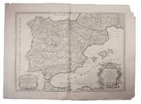
1708E7GCJJB1RUYXParis 1708. Hubert Jaillot Engraved map on 2 assembled sheets 55.5 x 78 cm engraved by Cordier. With title in decorated cartouche on the bottom right corner scales and privilege in decorated cartouche on the bottom left corner and a few lines coloured in green. Large map of Spain and Portugal this state with a privilege for 20 years granted in 1708. Engraved by Cordier after the map by Nicolas Sanson.Strengthened fold damaged corners but map in very good condition.l Cf. Pastoureau Jail. II A map 91. unknown
1790BB674Paris, février 1790. Plaquette petit in-8° de 35 pp.,
1780M5122Paris 1780. Excellent. Size : 430x565 mm 16.875x22.25 Inches Coloring: Original Outline Coloring Category: ; Maps Asia Middle East Holy Land & Palestine unknown
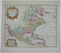
1792M4892Amsterdam 1792. Excellent. Notes: North America revised from the Sanson/Jaillot maps. California is shown as a peninsula but named "isle de California" to the northwest is "Mer de Iesso" and beyond that a small stretch of coastline "Terre de Iesso ou Ieco." The Great Lakes are defined if not with great accuracy a number of settlements in Nouveau Mexico are identified and a R. del Norte flows southwest from a large lake near Taosii to the Gulf of California. Size : 480x580 mm 18.875x22.875 Inches Coloring: Original Hand Coloring Category: Maps North America; Maps Central America; Maps West Indies General unknown
177130804London: Printed by W. Strahan and M. Woodfall for William Owen 1771. 1st Edition in English Marvin p. 299. Period full brown calf binding with gilt lettered maroon leather title label to spine. Binding leather darkened. Vertical creases to the 2 preliminary blanks. Old pos to t.p. one lined out dated 1780 & 1801. The occasional period marginal note. A solid VG copy. xxii 14 vii 1 480 pp. 4to: A4 a - c4 d2 B - 3Q4. <br/><br/> Printed by W. Strahan and M. Woodfall, for William Owen hardcover books
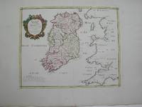
1778M3768Paris 1778. Excellent. Size : 405x501 mm 15.875x19.75 Inches Coloring: Hand Colored Category: ; Maps Europe Ireland unknown
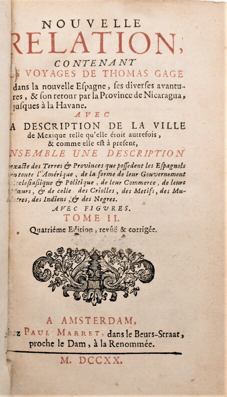
1720P2-7B-8Amsterdam, Paul Marret, 1720. 2 volumes in-12,, (13) ff , 431 pp , (5) ff , 360 pp. , relié plein veau époque , dos à nerfs ornés avec pièces de titre et tomaison rouge. Tranches rouges, charnière fendue tome1,léger manque à la coiffe du tome 2 , ex-libris de A. t’Sterstevens , écrivain belge avec ses notes. Quatrième édition, revue et corrigée, de la traduction de M. de Beaulieu.
171846746Tubingen : Hiobi Franckii 1718. 200x160mm. 1 Bl. broschiert. Ohne Umschlag. 65 Hiobi Franckii unknown
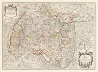
171037419Paris: Hubert Jaillot 1710. In ausgezeichnetem Zustand. 803 by 560mm 31½ by 22 inches. Kupferstichkarte in zeitgenössischem Grenzkolorit. Mit großer prächtiger allegorischer Kartusche sowie Meilenzeiger mit Legende. Erschienen im großen AtlasAtlas Nouveau contenant.Â’ von Nicolaus Sanson u. Hubert Jaillot. Dargestellt wird der schwäbische Kreis im Norden mit dem benachbarten Franken u. im Süden bis zum Bodensee. Im Osten noch mit Teilen von Bayern der Westen mit dem angrenzenden Frankreich. Das Kartenbild sorgfältig u. übersichtlich ausgearbeitet. Der Atlas Nouveau.Â’ entstand als Auftragsarbeitet für Ludwig XIV. und nahm einen Zeitraum von über 10 Jahren in Anspruch. Die Karten gelten bis heute noch als eine Meisterleistung der französischen Kartographie des 17.Jahrhunderts. Als Geburtsjahr Jaillots wird das Jahr 1632 angenommen da in seiner Sterbeurkunde sein Alter mit 80 Jahren angegeben war. Der Geburtsort war Avignon-lès-Saint-Claude damals ein kleiner Weiler in der Exklave der Freigrafschaft Burgund die dazu gehörte Spanisches Königreich. Jaillot hatte seit seiner Kindheit ein großes Talent für Kunst und Design. Bildhauerei lernte er bei seinem Bruder Pierre-Simón. Als Folge der französisch-spanischen Konflikte wurde ihre Heimatstadt verwüstet und so gingen die beiden Brüder 1657 nach Paris. Dort erlangten sie bald einen gewissen Ruf und den Titel „Sculpteur du Roy“. 1665 heiratete Jaillot in die Kartenverlegerfamilie Berey ein. Nach dem Tod seines Schwagers Nikolaus II. Berey 1640–1667 kaufte er die Berey-Kartensammlung von seiner Schwägerin. Dadurch erhielt er eine wertvolle Grundlage die er sofort vermarkten konnte ohne jemals selbst eine Karte erstellt zu haben. Jaillot stieg zu einem günstigen Zeitpunkt in das Kartengeschäft ein. Anfang 1668 gewann Ludwig XIV. den ersten seiner Réunionskriege und es begann eine Zeit in der Frankreich sein Territorium kontinuierlich erweiterte. Es entwickelte sich eine große Nachfrage nach Karten die die französischen Triumphe und die neuen Grenzen sowie bevorstehende Expansionspläne darstellten.Zu Jaillots Kartensammlung gehörten auch Druckplatten die von Pierre Duval 1619–1683 Neffe von Nicolas Sanson erstellt und ursprünglich an Nicolas Berey verkauft wurden. Doch Duval der auch seine eigenen Karten veröffentlichte weigerte sich seine alten Karten nachzudrucken. Auf dem Höhepunkt des Streits mit Duval rekrutierte Jaillot Ende 1670 Nicolas Sansons Söhne Guillaume und Adrien als Kartenmacher und Geschäftspartner. Mit ihnen konnte er neue Karten mit dem prestigeträchtigen Namen Sansons vermarkten. Sein erster Atlas aus dem Jahr 1681 Atlas Nouveau wurde ein so großer kommerzieller Erfolg dass andere Verlage begannen plagiierte Kopien zu verbreiten.Jaillot bemühte sich um königliche Schirmherrschaft und widmete viele seiner Kartenausgaben dem König. Schließlich wurde er am 20. Juli 1686 zum Géographe du Roy ernannt und erhielt eine jährliche Rente von 600 Livres. Dieser Titel sowie die protektionistische und kontrollierende Gesetzgebung ermöglichten es ihm sich erfolgreich gegen seine Plagiatoren zu wehren.Seit dem frühen 18. Jahrhundert gab Jaillot immer weniger Karten aus. Die Nachfrage nach zeitnah aktualisierten Karten nahm zu und er war immer weniger in der Lage auf die Anforderungen des Marktes zu reagieren. Jüngere Konkurrenten waren gut ausgebildete Geographen wie Guillaume Delisle die die Kartierung selbst durchführen konnten. Im Laufe der Zeit übergab Jaillot das Geschäft an seinen Sohn Bernard Jean-Hyacinthe.Alexis Hubert Jaillot starb am 2. November 1712 im Alter von 80 Jahren in Paris. Er wurde im Convent des Grands-Augustins beigesetzt. WikipediaNicolas Sanson der Ältere 20. Dezember 1600 in Abbeville Frankreich; † 7. Juli 1667 in Paris war ein französischer Kartograph. Seine Vorfahren stammten aus Schottland. Zwischen 1618 und 1667 schuf Sanson rund 300 Einzelkarten sowie Atlanten und illustrierte Texte.Seine Arbeit wurde von seinen Söhnen Nicolas Sanson 1626 Schottland; † 27. August 1648 in Paris Adrien Sanson † 1708 und Guillaume Sanson † 1703 seinem Neffen Pierre Duval 1619; † 1683 ausgeführt. sein Enkel Pierre Moulard Sanson † 1730 und Gilles Robert de Vaugondy 1688; † 1766 führten weiter. Wikipedia Hubert Jaillot unknown
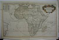
1719M5162Paris 1719. Excellent. Size : 580x890 mm 22.875x35 Inches Coloring: Original Outline Coloring Category: ; Maps Africa Continent unknown
179164149London: Printed for James Ridgway No.1 York Street St. James's Square 1791. 8vo. 21 cm. 4 v-vi iii-iv 186pp. Three quarter red leather with marbled boards. Black leather label raised bands with gilt tooling on spine. Elaborate hand-painted illustrated title page not called for tipped in as a frontis. Last page edge border trimmed attempt to wash previous names from title page. <br/><br/> Printed for James Ridgway, No.1, York Street, St. James's Square hardcover books
17488125Veuve Gruchet, Pierre Faure Au Havre de Grace 1748 1 vol. 2 parties en un volume in-8 de 4 ff.n.ch. 174 pp. 4 ff.n.ch. (table) et 4 ff.n.ch. (dont 1 feuillet blanc) 182 pp. 2 ff.n.ch. (table), vélin souple de l'époque (petits manque sur les coupes).
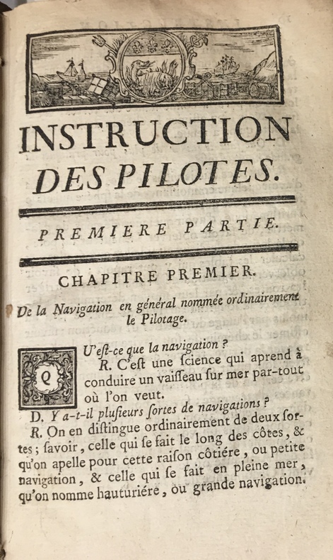
17734723Au Havre de Grâce, P.J.D.G. Faure, 1773. 1773 2 parties en un fort vol. in-12° (175 x 107 mm) de : 179 pp. (dont titre première partie, table pour trouver lheure des pleines mers, usage de la table et avertissement) ; [3] pp. (table des matières) ; [1] f. bl. ; [2] ff. (titre deuxième partie et avertissement) ; 190 pp. ; [7] ff. (table des latitudes, table des matières) ; 20 figures géométriques gravées sur bois, jolis bandeaux et culs de lampes. Vélin souple d'époque, dos lisse, tache sur le premier plat, rosace sur le second plat.
178632355Lincoln County Kentucky 1786. Single sheet 8.75" x 10". Completely in manuscript approximately 20 lines signed and sealed on January 19 1786 by Sampson Mathews George Winter Benjamin Logan John Campbell and Christopher Greenup. Paper seal attached with wax near Mathews' signature. Old folds two short fold splits with a few letters affected but not lost minor toning and wear at folds. Good.<br/><br/> Sampson Mathews 1737-1807 served as commissary of Col. Charles Lewis' regiment in the Point Pleasant campaign as Colonel of the Augusta Militia in 1781 where he led the American defense against Benedict Arnold's January 1781 raid of Richmond and fought at the Siege of Yorktown. He served in the first Virginia State Senate 1776-1781 and 1790-1792 and was a founder of what became Washington and Lee University. Waddell: ANNALS OF AUGUSTA COUNTY VIRGINIA 1902 pp.185 220 310. <br/> Benjamin Logan 1743-1802 was an American Revolutionary War officer and brother of John Logan 1747-1807 a Kentucky pioneer and politician. Both Benjamin and John were Justices of the County Court of Lincoln County which was organized in 1781; this was the first court in what would become the State of Kentucky. Benjamin Logan Colonel of the Kentucky County Virginia militia was second in command of all Kentucky militia during the Revolutionary War. He also led in the effort to achieve Kentucky statehood. Kleber: THE KENTUCKY ENCYCLOPEDIA 1992 p.388.<br/> Christopher Greenup 1750-1818 was an officer during the Revolutionary War and <br/>Governor of Kentucky from 1804-1808. He helped settle Lincoln County where he studied law and worked as a surveyor and land speculator. He served on a committee with Benjamin Logan which sought to achieve statehood for Kentucky. Active in three state conventions from 1784-1788 he was also accused in complicity in the Burr conspiracy while serving as Governor. Kleber p.388.<br/> Samuel McDowell 1735-1817 served under General Washington during the French and Indian War; in the American Revolution under the command of Nathanael Greene. He presided over the 1782 convention that framed a constitution for the independent territory of Kentucky presided over the first district court in Kentucky and its first county court. McDowell and presided over nine of the ten conventions that drafted the first Kentucky Constitution. <br/> Caleb Wallace 1742-1814 was born in Virginia and moved to the Kentucky district in 1783. He was a cousin of Samuel McDowell was a pioneer jurist in the Supreme Court for the District of Kentucky was active in the movement for Kentucky Statehood played a role in the struggle for religious freedom in Virginia and was a founder of what became Washington and Lee University. Kleber p.925.<br/> John Campbell is likely Col. John Campbell 1735-1799 the Revolutionary War soldier and namesake of Campbell County Kentucky. He was one of the drafters of the Kentucky Constitution the Speaker Pro-Tem of the Kentucky Senate in 1798 where he signed the Kentucky Resolutions and a founder of Louisville having staked his claim to a military grant of land on that site in 1774. Kleber p.154. unknown books
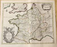
171282342Parisiis, Delineabat Petrus Moullart-Sanson , 1712, 55x75cm, Carte colorisée. Pliure centrale. Bon état.
1710M10329Amsterdam: Jean Covens & Corneille Mortier c.1710. Very Good. Size : 378x486 mm 14.88x19.13 Inches Coloring: Original Outline Coloring Category: Maps Europe France; Jean Covens & Corneille Mortier unknown
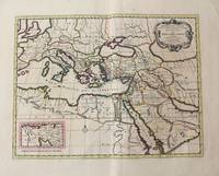
1710M10321Amsterdam: Jean Covens & Corneille Mortier c.1710. Very Good. Size : 402x520 mm 15.83x20.47 Inches Coloring: Original Hand Coloring Category: Maps Mediterranean Sea; Maps Asia Middle East; Jean Covens & Corneille Mortier unknown
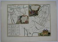
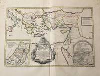
1710M10319Amsterdam: Jean Covens & Corneille Mortier c.1710. Very Good. Notes: With 2 inset maps showing the Holy Land and Hierusalem. Size : 375x550 mm 14.76x21.65 Inches Coloring: Original Hand Coloring Category: Maps Asia Near East Turkey; Maps Asia Middle East Holy Land & Palestine; Maps Mediterranean Sea; Jean Covens & Corneille Mortier unknown
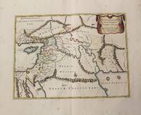
1710M10250Amsterdam: Jean Covens & Corneille Mortier c.1710. Very Good. Size : 370x493 mm 14.57x19.41 Inches Coloring: Original Hand Coloring Category: Maps Asia Middle East Holy Land & Palestine; Maps Asia Middle East Iran Iraq; Jean Covens & Corneille Mortier unknown
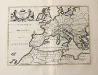
1710M10326Amsterdam: Jean Covens & Corneille Mortier c.1710. Very Good. Size : 375x525 mm 14.76x20.67 Inches Coloring: Original Hand Coloring Category: Maps Africa North; Maps Europe Continent; Maps Mediterranean Sea; Jean Covens & Corneille Mortier unknown
1710M10331Amsterdam: Jean Covens & Corneille Mortier c.1710. Very Good. Size : 410x508 mm 16.14x20.00 Inches Coloring: Original Outline Coloring Category: Maps Africa North; Maps Europe Continent; Maps Mediterranean Sea; Jean Covens & Corneille Mortier unknown
1710M10332Amsterdam: Jean Covens & Corneille Mortier c.1710. Very Good. Size : 403x555 mm 15.87x21.85 Inches Coloring: Original Outline Coloring Category: Maps Mediterranean Sea; Maps Asia Middle East; Jean Covens & Corneille Mortier unknown