SANSON d'ABBEVILLE (Nicolas).Livre Rare Book
272 résultats
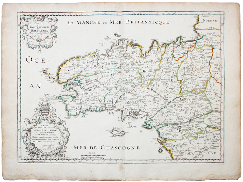
1661LBW-3670Paris, P. Mariette, 1661. 418 x 521 mm.
1700LBW-5388[1700]. 204 x 301 mm.
1658LBW-51971652 [1658]. 313 x 457 mm.
1656LBW-6504Paris, Pierre Mariette, 1656. 402 x 545 mm.
1676LBW-7221Paris, Pierre Mariette, 1676. 327 x 475 mm.
1700LBW-5427[1700]. 202 x 266 mm.
1660LBW-5437[circa 1660]. 195 x 247 mm.
1680LBW-5478[Paris, circa 1680]. 187 x 245 mm.
1650LBW-4944Paris, chez l'auteur et chez Pierre Mariette, 1650. 393 x 553 mm.
1655LBW-7677Paris, Pierre Mariette, 1655. 342 x 547 mm.
1652LBW-656Paris, Pierre Mariette, 1652. 404 x 533 mm.
1700LBW-4948[1700]. 185 x 239 mm.
1683LBW-6981683 197 x 269 mm.
1658LBW-5169Paris, Pierre Mariette, 1650 [1658]. 369 x 501 mm.
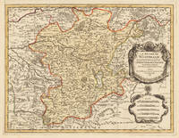
169633637Paris 1696. Schönes tadelloses Exemplar. . 803 by 560mm 31 by 22 inches. Hand-Colored Original Copperplate Engraving by Alexis-Hubert Jaillot & N. Sanson depicting Le Duché De Westphalie ainsi qu`il est presentement possedé par L`Eslecteur De Cologne. Tiré des Memoires les pl. recents Par le Sr. Sanson Geographe Ordinaire du Roy A Paris. Published Paris 1696. Sheet: 803 by 560mm 31 by 22 inches. A fine and original hand-colored example of Jaillot's celebrated cartographic work documenting this region of Germany with the precision and decorative artistry characteristic of the 16900s. Alexis-Hubert Jaillot c.1632-1712 was one of the foremost French cartographers of the late 17th and early 18th centuries. Working in Paris he produced magnificent large-format maps of European territories often in collaboration with Nicolas Sanson -- considered the father of French cartography. Jaillot's maps are known for their striking decorative cartouches generous size and fine hand coloring representing the pinnacle of French Baroque cartography.This original copperplate engraving with original hand coloring depicts the region of Le Duché De Westphalie ainsi qu`il est presentement possedé par L`Eslecteur De Cologne. Tiré des Memoires les pl. recents Par le Sr. Sanson Geographe Ordinaire du Roy A Paris. published in Paris 1696. The map records the political and geographic boundaries of the region as understood in 1696 offering a fascinating window into the history of German territorial organization. Sheet measures 803 by 560mm 31 by 22 inches. In good condition consistent with its age of over 320 years. Ready to frame. unknown
1670110701Paris, Libraire juré au Palais, dans la salle des Merciers, à la Palme, et aux armes de Hollande 1670 Selon la page de privilège imprimé la première fois en 1678. In-12 relié veau brun 16,5 cm sur 9,5. Dos à nerfs orné des caissons et fers dorés. Frontispice-2pp de privilège-13 d’épistre-8 de préface-17 d’avis au lecteur-LXX-545-45pp de table des matières-1f. Complet des deux gravures dont le frontispice et une planche dépliante représentant la traversée du Rhin légèrement froissée et tachée. Ex-libris manuscrits sur pages de garde signés “François le Comte” et “Antoine Dumur” et sur dernier feuillet blanc est noté “Fut présent en sa personne, Antoine Dumur 1752”. Texte orné de jolis bandeaux, lettrines et culs-de-lampe. Reliure frottée, craquelures au dos, manques aux coiffes, fendillements aux mors, coins émoussés avec manques de cuir angulaires et petit trou de ver sans atteinte au texte en pied de dos, quelques taches d’encre. Petites déchirures aux pages 99-100, 173-174 sans atteinte au texte. Rares auréoles d’humidité sans atteinte au texte. Assez bon état d’occasion.
1652YRG-392Carte géographique originale réalisée par Sanson d’Abbeville et gravée à la cuve par R. Cordier, (57,5 x 43,5 cm). Rehaussée de couleur, d'époque.
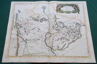
1668014632Paris: Cartes Generales de Toutes les Parties du Monde. 1668. Hand coloured. Map measures 55x40.cm plus margin. Some light surface wear or dust marking. Map in good condition. Boldly engraved map of the region of present day Paraguay Uruguay northern Argentina and parts of Chile and Brazil. The Rio de la Plata is the main feature of the map which extends north to the mythical Lago de los Xarayes. The mountains and volcanoes of the Cordillera de los Andes are also prominently shown. There is good detail of topography missions and villages. The decorative title cartouche is adorned with two female figures fruit and flowers. Very Good. Cartes Generales de Toutes les Parties du Monde.. unknown
170054043Nicolas Bion: L'Usage des Globes. Amsterdam: Francois Halma. 1700. Map showing north-east South America from Trindad to the mouth of the Amazon - modern day Guyana and Surinam. Several large fictitious lakes make up much of the unexplored interior. Maps by Sanson in original colour are rare. Nicolas Sanson was founder of the French school of mapmakers at a time when the leadership in European cartography passed from the Low Countries to France. This map was published in Bion's treatise on globes. Nicolas Bion was a famous French mathematical and scientific instrument maker. Copper engraving. Very good condition. Small 1cm. very faint library stamp on border not affecting map. Original colour. Size: 27.5 x 20 cm. 11 x 8 inches. unknown
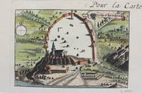
1690M9477Paris c.1690. Very Good. Notes: A charming map of Athens Greece during the late 17th century. Size : 103x154 mm 4.06x6.06 Inches Coloring: Hand Colored Category: Maps City Maps; Maps Europe Greece Macedonia; unknown
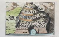
1690M9478Paris c.1690. Very Good. Notes: A charming map of Lepanto Greece during the late 17th century. Size : 105x153 mm 4.13x6.02 Inches Coloring: Hand Colored Category: Maps Europe Greece Macedonia; unknown
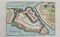
1690M9472Paris c.1690. Very Good. Notes: A charming map of Santa Maura on the island of Lefkada Greece during the late 17th century. <br><br> Size : 104x153 mm 4.09x6.02 Inches Coloring: Hand Colored Category: Maps Europe Greece Macedonia; unknown
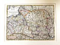
1683M11172Paris c.1683. Very Good. Notes: French map showing Poland and the surrounding region.<br>Nicolas Sanson 1600–1667 was a renowned French cartographer termed by some as the "father of French cartography." His works are known for their incorporation of the most up to date information of the time and their clean modern style. Size : 188x256 mm 7.40x10.08 Inches Coloring: Hand Colored Category: Maps Europe Poland Lithuania; unknown
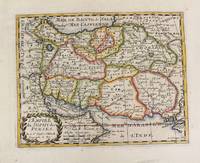
1652M4655Paris 1652. Very Good. Notes: This is an important 17th-century map of Iran published in Paris by Nicolas Sanson the greatest 17th-century French cartographer. The map depicts Iran at the time of Shah Abbas II of the Safavid dynasty. It is interesting to note that present-day Afghanistan and Pakistan and even part of India sit within Iran's borders all of which were lost in due course by the kings of the Qajar dynasty. Also as Sufism was the religion of Iran at the time of the Safavid dynasty the title of the map refers to the "Empire of the Sufi of the Persians". Size : 192x247 mm 7.56x9.72 Inches Coloring: Hand Colored Reference: Ala'i E. 107. Category: Maps Asia Middle East Iran Iraq; unknown