Nicholas Sanson; Pierre MarietteBiblio.com
272 résultats
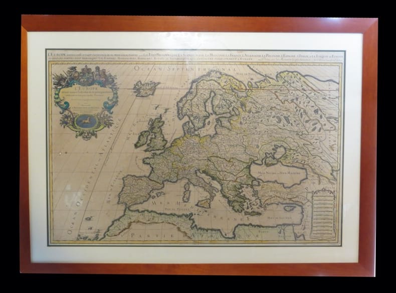
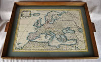
16502312280001Petrum Mariette: Lutetiae Parisiorum 1650. First Edition. Maps. Very Good. Ancient Europe : The Roman Empire Fine hand-colored double-page engraved map of Roman provinces of Europe. Mounted in wood frame with wooden side handles. Dimensions of mounted image: 40 x 56 cm. 53 x 69.5 cm in frame. Latin province names cities seas. This is an oversized or heavy book which requires additional postage for international delivery outside the US. Petrum Mariette: Lutetiae Parisiorum unknown
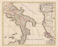
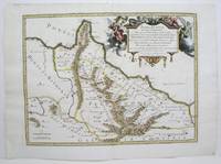
169617229Paris: Hubert Jaillot 1696. Other. In excellent condition. 445 by 550mm 17 by 21 inches. 445 by 550mm 17 by 21 inches. Original antique hand-colored copper engraving from the 'Atlas Nouveau' published in Paris 1696. Depicting Kingdom of Naples this map is a fine example of 1690s European cartography. Image: 445 by 550mm 17 by 21 inches. An attractive and historically significant 17th-century map for the discerning collector. Alexis-Hubert Jaillot c. 16321712 was a French sculptor turned cartographer who became one of the most important map publishers of late 17th-century France. After marrying into the family of mapmaker Nicolas Berey he negotiated access to the plates of the great French cartographer Nicolas Sanson 16001667 and used them to publish his monumental 'Atlas Nouveau' from the 1690s onward. Appointed 'Géographe du Roi' Royal Geographer to Louis XIV in 1686 Jaillot produced large-format maps celebrated for their elaborate allegorical cartouches and decorative ambition. His maps of Italy were among the finest large-format representations of the peninsula produced in the 17th century frequently bearing dedications to members of the French royal family.Large and decorative map of England by the French cartographer Nicolaus Sanson and Hubert Jaillot. Published in the 'Atlas Noveau.' this atlas was a masterpiece in the French cartography in the 17th century. The atlas was specially designed for Louis XIV and due of the very large size of the plates most maps were printed from two plates it took Hubert Jaillot over 12 years to complete the 'Atlas Noveau.'. The kingdom of Naples is very detailled shown on the map as well the various principalities are shown in engraved territory borders. The map is rich in detail with many cities and place names rivers mountains castles etc. The map is ornated with a large fine allegoric title cartouche with coat of arms in the upper right corner as well a decorative cartouche with a milage scale.A fine example from Atlas Nouveau Paris sought after by collectors of antique maps of Italy antique maps of Kingdom of Naples and antique hand-colored copper engravings for sale. In good condition consistent with age. The map is ornated with a large fine allegoric title cartouche with coat of arms in the upper right corner as well a decorative cartouche with a milage scale. Hubert Jaillot unknown
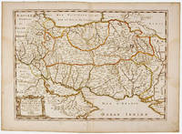
1658MEE1132Paris:: Chez l'Autheur 1658. 1658. PRINT: 390 x 520 mm. Paper: 457 x 610 mm. Creased cross-ways. Map outlined with original coloring. Excellent condition. First printing of this map. Nicolas Sanson 1600-1667 the "Father of French Cartography" was educated by the Jesuits at Amiens. He was soon recognized as having a gift for map drawing. As such by the age of ten he has produced his first map. "In 1627 he attracted the attention of Richelieu by a map of Gaul which he had constructed or at least begun while only eighteen." "Active from 1627 Sanson issued his first map of importance the "Postes de France" which was published by Melchior Tavernier in 1632. After publishing several general atlases himself he became the associate of Pierre Mariette a publisher of prints." Wikip. In 1630 he was appointed Geographe Ordinaire du Roy by King Louis XIII. As a geographer his most important work was his maps of the world Cartes generales de toutes les parties du monde issued in 1658 with later editions to follow. He died in 1667. Two younger sons Adrien d. 1708 and Guillaume d. 1703 succeeded him as geographers to the king. / Nicolas Sanson's map was issued "by the author" this version and another version where his printer-publisher Pierre Mariette issued the map with his own imprint on the cartouche. Chez l'Autheur, [1658]. unknown
1690M2919Amsterdam 1690. Good; fold reinforced. Size : 480x596 mm 18.875x23.5 Inches Coloring: Black & White Category: ; Maps Europe Hungary; Maps Europe Poland Lithuania unknown
169019294S.l., Alexis Hubert Jaillot, 1680. Une grande carte (892 x 592 mm) composée de deux feuillets contrecollés, sous cadre moderne.
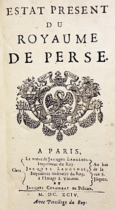
169414621Langlois Paris 1694 1 vol. In-12 de 6 ff.n.ch. 264 pp. 12 ff.n.ch. (table), basane fauve de l'époque, dos lisse frottée, pièce de titre, tranches rouges (épidermures et quelques trous de vers sur la reliure).
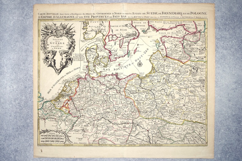
16962308A AMSTERDAM. CHEZ P. MORTIER. SANS DATE (VERS 1696). GRANDE CARTE GEOGRAPHIQUE, GRAVEE PAR JOAN VAN LUGTENBURG, LIMITES COLORIEES A LA MAIN D'EPOQUE (46,5 X 58 CENTIMETRES ENVIRON, 53 X 61,5 CENTIMETRES ENVIRON AVEC LES MARGES), AVEC UN CARTOUCHE DECORATIF AUX ATTRIBUTS MILITAIRES DONNANT LE TITRE. BON ETAT.
1690192941690. S.l. Alexis Hubert Jaillot 1680. Une grande carte 892 x 592 mm composÂŽe de deux feuillets contrecollÂŽs sous cadre moderne. Attractive 892 x 592 mm carte de la fin du XVIIÂme avec rehauts aquarellÂŽs du temps. Elle s'orne d'un important cartouche aux armes du Grand Dauphin Louis de France et s'agrÂŽmente en marge gauche de la figuration de vaisseaux ayant pris part ˆ un combat naval. Kupcik Cartes gÂŽographiques anciennes p. 159. Papier trÂs lÂŽgÂrement oxydÂŽ. PrÂŽsence de rares et claires rousseurs ou petites t‰ches. Deux plissures et une infime perforation en marge supÂŽrieure droite. Du reste belle condition. b42961 unknown
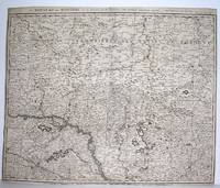
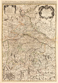
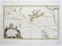
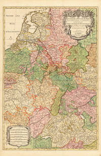
169228137Paris 1692. Other. Schönes tadelloses Exemplar. . 803 by 560mm 31 by 22 inches. Hand-Colored Original Copperplate Engraving by Alexis-Hubert Jaillot & N. Sanson depicting Le Cours de la Riviere du Rhein depuis sa Source jusques a son Emboucheure ou sont distingues Tout les Estats et Souverainetes qui sont dessus et aux enuirons. Tire de tous les Memoires les plus Nouveaux Parle Sr. Sanson Geopgraphe Ordinaire du Roy. Published Paris 1692. Sheet: 803 by 560mm 31 by 22 inches. A fine and original hand-colored example of Jaillot's celebrated cartographic work documenting this region of Germany with the precision and decorative artistry characteristic of the 16900s. Alexis-Hubert Jaillot c.1632-1712 was one of the foremost French cartographers of the late 17th and early 18th centuries. Working in Paris he produced magnificent large-format maps of European territories often in collaboration with Nicolas Sanson -- considered the father of French cartography. Jaillot's maps are known for their striking decorative cartouches generous size and fine hand coloring representing the pinnacle of French Baroque cartography.This original copperplate engraving with original hand coloring depicts the region of Le Cours de la Riviere du Rhein depuis sa Source jusques a son Emboucheure ou sont distingues Tout les Estats et Souverainetes qui sont dessus et aux enuirons. Tire de tous les Memoires les plus Nouveaux Parle Sr. Sanson Geopgraphe Ordinaire du Roy published in Paris 1692. The map records the political and geographic boundaries of the region as understood in 1692 offering a fascinating window into the history of German territorial organization. Sheet measures 803 by 560mm 31 by 22 inches. In good condition consistent with its age of over 330 years. Ready to frame. unknown
169143500Amsterdam, Huguetan & Mortier, 1691. 56x85 cm. Large engraved map of Terra Sancta with original colours in outline. With two large engraved cartouches. Small repairs to lower part of centerfold.
169143500Amsterdam Huguetan & Mortier 1691. 56x85 cm. Large engraved map of Terra Sancta with original colours in outline. With two large engraved cartouches. Small repairs to lower part of centerfold. <br/><br/><em>This is Jaillot's large version of Sanson's map of Palaestine divided into tribes. </em> unknown
1690M9575Paris c. 1690. Very Good. Notes: A charming map of Negroponte Chalcis Greece during the late 17th century. Size : 104x154 mm 4.09x6.06 Inches Coloring: Hand Colored Category: Maps Europe Greece Macedonia; unknown
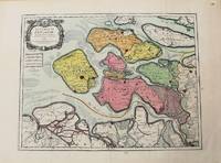
1693M10774Paris 1693. Very Good. Notes: Map of the county of Zeeland. Size : 440x575 mm 17.32x22.64 Inches Coloring: Original Hand Coloring Category: Maps Europe Benelux; unknown
1700M7994Paris c. 1700. Very Good. Notes: Engraved by Cordier.<br>A map of Central Germany. Frankfurt appears at the south-center of the map. Size : 457x648 mm 17.99x25.51 Inches Coloring: Original Hand Coloring Category: Maps Europe Germany; unknown
1700M7991Paris: S. Jallot c. 1700. Very Good. Notes: Map of Northern Germany Size : 650x460 mm 25.59x18.11 Inches Coloring: Original Hand Coloring Category: Maps Europe Germany; S. Jallot unknown
1655M5583Paris 1655. Very Good. Size : 385x535 mm 15.125x21 Inches Coloring: Hand Colored Category: Maps Africa North unknown
1678M3431Paris: Mariette Pierre 1678. Excellent. Size : 357x595 mm 14x23.375 Inches Coloring: Original Outline with later cartouche coloring Category: ; Maps Asia Near East Turkey Mariette, Pierre unknown
1678M3434Paris: Mariette Pierre 1678. Excellent. Size : 390x522 mm 15.375x20.5 Inches Coloring: Original Outline with later cartouche coloring Category: ; Maps Asia Near East Turkey Mariette, Pierre unknown
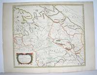
1654M2853Paris 1654. Excellent. Size : 415x483 mm 16.375x19 Inches Coloring: Original Outline Coloring Category: Maps Russia unknown
16697613À Paris chez l'autheur. Encadré Très bon Paris 1669 1669 44 x 55 cm avec son cadre ancien.
1655LBW-4533Paris, P. Mariette, 1655. 419 x 556 mm.
1632LBW-1373[Paris, Melchior Tavernier, 1632-1637]. 412 x 532 mm.
1670LBW-587Paris chez l'autheur 1670 circa 393 x 552 mm.
1658LBW0394dParis P. Mariette 1658 421 x 525 mm.
169233626Paris 1692. Schönes tadelloses Exemplar. . 803 by 560mm 31 by 22 inches. Hand-Colored Original Copperplate Engraving by Alexis-Hubert Jaillot & N. Sanson depicting Le Cours de la Riviere du Rhein depuis sa Source jusques a son Emboucheure ou sont distingues Tout les Estats et Souverainetes qui sont dessus et aux enuirons. Tire de tous les Memoires les plus Nouveaux Parle Sr. Sanson Geopgraphe Ordinaire du Roy. Published Paris 1692. Sheet: 803 by 560mm 31 by 22 inches. A fine and original hand-colored example of Jaillot's celebrated cartographic work documenting this region of Germany with the precision and decorative artistry characteristic of the 16900s. Alexis-Hubert Jaillot c.1632-1712 was one of the foremost French cartographers of the late 17th and early 18th centuries. Working in Paris he produced magnificent large-format maps of European territories often in collaboration with Nicolas Sanson -- considered the father of French cartography. Jaillot's maps are known for their striking decorative cartouches generous size and fine hand coloring representing the pinnacle of French Baroque cartography.This original copperplate engraving with original hand coloring depicts the region of Le Cours de la Riviere du Rhein depuis sa Source jusques a son Emboucheure ou sont distingues Tout les Estats et Souverainetes qui sont dessus et aux enuirons. Tire de tous les Memoires les plus Nouveaux Parle Sr. Sanson Geopgraphe Ordinaire du Roy published in Paris 1692. The map records the political and geographic boundaries of the region as understood in 1692 offering a fascinating window into the history of German territorial organization. Sheet measures 803 by 560mm 31 by 22 inches. In good condition overall with minor signs of age appropriate for a 17th-century engraving. Ready to frame. unknown