1 570 résultats
95827Paris, Baudouin, 1790 in-8, 9 pp., dérelié.
235936Paris, Baudouin, 1790 in-8, 9 pp., broché, couv. papier bleu postérieur.
181149912London: Printed for Longman Hurst Rees Orme and Brown 1811. 1811. First edition. First English edition. Substantially reorganized from the 1810 Philadelphia edition. 4to. Quarter polished brown calf and marbled paper over boards marbled front and rear endpapers all edges marbled iii - xx 436 pp. two engraved maps one folding footnotes appendix. Pike's personal journal of the earliest U.S. government expedition to the southwest including one of the first descriptions of Texas in English. Pike explored the headwaters of the Arkansas and Red Rivers and reported on the Spanish settlements in New Mexico as well as his account of his expedition to the upper Mississippi in Minnesota. The maps are of the Mississippi and New Mexico and were "the first of this entire region to display knowledge derived from actual exploration and are of outstanding historic interest." Wheat Trans-Mississippi West Maps II pp. 20-21. "The Louisiana Purchase was one of Thomas Jefferson's crowning achievements and in the following four years he commissioned a number of expeditions to explore the largely unknown territory. In 1804 Lewis and Clark ventured westward from St. Louis; Sibley Dunbar and Freeman explored the Spanish border region in Texas; and in 1806 Pike went to explore the southernmost border region north of New Spain. His orders were to explore the Arkansas and Red Rivers but by February of 1807 he had reached the upper reaches of the Rio Grande having missed the Red River entirely: "Spanish authorities learned of his presence and sent a force to arrest him and his men. They were taken to Santa Fe and then sent on to Chihuahua. Pike's maps and papers were confiscated but he managed to retain his diary and journals by secreting them in the gun barrels of his men. Apparently he was able to convince the Spaniards that he had entered New Spain by accident as he was escorted by armed guard through Texas via San Antonio to the Sabine where he was released. He arrived at Natchioches in June 1807 having thus had the opportunity to examine New Mexico and Texas in some detail at the expense of the Spanish government." Jenkins. "In the hierarchy of significant westward expeditions that of Lieutenant Zebulon Montgomery Pike 1779-1813 ranks right below that of Lewis and Clark. While his was not the first official reconnaissance of the west he provided 'the earliest official geographical image of the trans-Mississippi West'. Pike's map and journal provided the first authentic information about the Upper Mississippi. On the Conejos River an effluent of the Rio Grande well into Spanish territory Pike boldly constructed a fort. It was at this fort that he was arrested and taken first to Santa Fe and then to Chihuahua for a meeting with Don Nemesio Salcedo the governor of New Spain. The authorities confiscated among other documents a manuscript map of the Santa Fe Trail. While in custody of the Spanish Pike learned 'just how many and what kind of troops the Spanish had on hand to defend the northern provinces' according to William Goetzmann 'and he was well informed on the character and personalities of all the Spanish military leaders. No more successful espionage operation has ever been conducted in recorded American history.' Pike returned from captivity without his sketch maps making the creation of his own map more difficult. He had managed to smuggle traverse tables in the rifle barrels that he and his men were allowed to take with them after being released. These tables enabled him to reconstruct parts of the upper Arkansas and to his credit his map is the first to accurately delineate the Arkansas and its tributaries. Nevertheless large sections of 'A Chart of the Internal Part of Louisiana' 1810 were based on Alexander von Humboldt's map. It is paradoxical that Pike who had actually explored the internal part of Louisiana relied on the cartography of Humboldt who had never been there" Cohen. "Pike has been suspected of complicity with the Aaron Burr conspiracy to establish an empire in the Southwest carved from the Spanish provinces of northern Mexico and the western United States but no firm evidence supports those charges. He remained however outspoken in his resistance to the democratization of the army during the Thomas Jefferson administration. Pike published the journals of his explorations in 1810 supplemented with his correspondence with General Wilkinson his speeches to the Indians and detailed descriptions of the land through which he traveled as An Account of Expeditions to the Sources of the Mississippi and through the Western Parts of Louisiana. Appearing as it did four years before the publication of the journals of Lewis and Clark Pike's book provided the American public with its first written description of the trans-Mississippi West. He was killed in action at the storming of York now Toronto Canada on April 27 1813 when the enemies' powder magazine exploded" Handbook of Texas Online. The publication of Pike's reports of the area now occupied by Texas Arkansas and New Mexico encountered similar difficulties to those of Lewis and Clark of their expedition and did not appear in print until three years after Pike's return. However they were well received and the favorable reports of Texas as "one of the richest most prolific and best watered countries in North America" did much to encourage further exploration and expansion." Covers lightly rubbed leather label on the spine is chipped with the loss of four letters former owner's neat bookplate on front pastedown sheet half title not preserved else a very good clean sound copy. Printed for Longman, Hurst, Rees, Orme, and Brown, 1811. hardcover
181154628E-172: Longman Hurst Rees Orme and Brown. Very Good. 1811. First Edition; First Printing. Hardcover. Leather. 4to. Printed in London for Longman Hurst Rees Orme and Brown Paternoster-Row. 1811. 436 pgs. Fine folding engraved map "of the Interior of Louisiana with a part of New Mexico" and full-page map of ". The Mississippi River from its source to the Mouth of the Missouri." Bound by in full calf leather. Spine has been rebacked with contemporary leather spine and gilt titled spine label. Boards are scuffed and worn with wear present to the edges of the boards. Small name present to the reverse of the front board. Both maps present however the first map has a small piece missing and has been rebacked with linen. Foxing present. Text is free of marks. Binding tight and solid. The first U. S. Government exploration of the American southwest. In 1805 Wilkinson ordered Pike to find the source of the Mississippi River so Pike traveled into the northern Louisiana Territory newly purchased from France. In 1806 Pike led an expedition to the southwestern borders of the land acquired by the United States through the Louisiana Purchase. One of the most important inland travel narratives giving an account of the South-west including the author's description of his earlier journey to explore the headwaters of the Mississippi. The two maps are among the first of the area executed by a government expedition. After Pike returned from this first expedition General Wilkinson almost immediately ordered him to mount a second expedition this time to explore map and find the headwaters of the Arkansas and Red rivers. Additional objectives of this exploratory expedition into the southwestern part of the Louisiana Territory were to evaluate natural resources and establish friendly relations with Native Americans. Beginning July 15 1806 Pike led what became known as the "Pike Expedition". General Wilkinson's son James served as one of his lieutenants although it now seems that Wilkinson planned that the Spanish who controlled Mexico would capture him and his men. Over 100 years later France released official records showing General Wilkinson received personal trade concessions and thus could be labeled a spy for Spain at the time. Sabin 62837; Howes P373 e-172; 8vo 8" - 9" tall . Longman, Hurst, Rees, Orme, and Brown hardcover
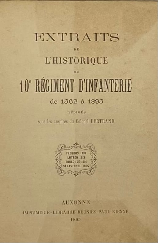
228796Auxonne, Paul Kienné, 1895 in-12, 140 pp., broché. Couverture usée, dos renforcé par du scotch.
ORD-7352Sans lieu. 1769. In-12 (92 x 153mm) broché, couverture muette d'attente, 1f., 38 pages. Couverture un peu abîmée, bel état intérieur.
1884R150142910PARIS.. 1884. In-18. Cartonné. Etat passable, Couv. défraîchie, Dos très frotté, Intérieur acceptable. 196 pages.. . . . Classification Dewey : 356-Infanterie
152029Collection Petite bibliothèque de l'Armée françaiseParis, Limoges, H. Charles-Lavauzelle, 1888 in-16, 60 pp., 64 pp. de catalogue éditeur, broché, couv. imprimée. Dos abîmé.
PARIS.. 1884. In-18 Carré. Cartonné. Etat passable. Couv. défraîchie. Dos très frotté. Intérieur acceptable. 196 pages.
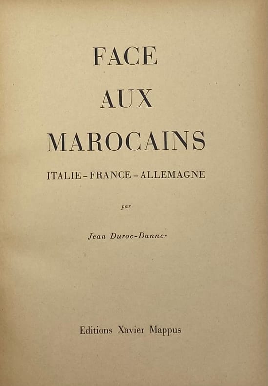
226969Le Puy, Xavier Mappus, 1945 in-4, 280 pp., nbses ill. in-t., 2 cartes dépl., bradel cartonnage crème, couv. illustrée (reliure de l'éditeur). Coiffe supérieure recollée.
8vo., First Edition, with numerous illustrations in the text, small blind-embossed personal book-stamp on front free endpaper; blue cloth, gilt back, a near fine copy in unclipped dustwrapper. Published in Cooper's concise Famous Regiments series, edited by Lt.-General Sir Brian Horrocks. Sutcliffe, p.201.
8vo., First Edition, with numerous illustrations in the text; red cloth, gilt back, a near fine copy in unclipped dustwrapper. Published in Cooper's concise Famous Regiments series edited by Lt.-General Sir Brian Horrocks. Sutcliffe, p.375.
8vo., First Edition, with numerous illustrations in the text; grey cloth, gilt back, a near fine copy in unclipped, lightly age-soiled dustwrapper. Published in Cooper's concise Famous Regiments series, edited by Lt.-General Sir Brian Horrocks. Sutcliffe, p.312.
8vo., First Edition, with numerous illustrations in the text; original series binding of grey cloth, gilt back, a near fine copy in unclipped dustwrapper. Published in Cooper's concise 'Famous Regiments' series, edited by Lt.-General Sir Brian Horrocks. Sutcliffe, p.319.
8vo., First Edition, with numerous illustrations in the text; cloth, gilt back, a very good, clean in lightly dust-soiled dustwrapper. Published in Cooper's concise Famous Regiments series, edited by Lt.-General Sir Brian Horrocks. Sutcliffe, p.312.
8vo., First Edition, with numerous illustrations in the text; cloth, gilt back, a near fine copy in unclipped dustwrapper. Published in Cooper's concise Famous Regiments series edited by Lt.-General Sir Brian Horrocks. Sutcliffe, p.412.
8vo., First Edition, with numerous photographs in the text; grey cloth, gilt back, a near fine copy in price-clipped, mildly browned dustwrapper. SIGNED BY AUTHOR ON TITLE, AND BY HORROCKS FOLLOWING HIS SERIES INTRODUCTION. Published in Horrocks' concise Famous Regiments series. SIGNED COPIES ARE SCARCE. Sutcliffe, p.96.
238 pages. Footnotes. Bibliography. Index. "Tells the story of Canada's 'forgotten war' in which soldiers in Korea suffered needless casualties and endured conditions that bordered on criminal neglect." - from dust jacket. Moderate wear. Minimal library markings. Dust jacket preserved in glossy new archival-grade Brodart. A sound copy. Book
184466689Olmütz, Druck und Papier von Alois Skarnitzl, 1844. 8°. Mit 8 gefalt. lithogr. Tafeln. VIII, 464 S., 17 Bl
183451174ABKarlsruhe, Verlag der C.F. Müller'schen Hofbuchhandlung, 1834. 8° (19x12), XXIV, 436 Bl., + 20 ganzseitigen Beilagen, davon 6 gefaltete Tafeln, blauer Pbde d.Zt. mit Titelschild, [2 Warenabbildungen] Inventar-Etiketten, Stempel auf Titelblatt (K. B. Armee-Bibliothek), Kanten berieben, teils etwas gebräunt, gutes Exemplar,
99788Paris, Ch-Lavauzelle, s.d. fort gr. in-8, 419 pp. et VI pp. d'index, broché.
198677410Fort Benning GA: United States Army Infantry School c1986. Presumed First Edition First printing thus part superseded a 1977 edition. Wraps. Good. Format is about 7.875 inches by 10.25 inches. Various paginations approximately 200 pages Illustrations. References. Glossary. Staplebound. Stamp on the front cover from Maryland Army National Guard 110th Arty. Date derived from internet research. Fire support is defined by the U. S. Department of Defense as "Fires that directly support land maritime amphibious and special operations forces to engage enemy forces combat formations and facilities in pursuit of tactical and operational objectives." Typically fire support is provided by artillery or close air support and is used to shape the battlefield or more optimistically define the battle. Artillery observers allow adjusting fire. Fire support has been used since the advent of cannons in warfare as artillery. Fire support as an extension is the marriage of artillery to the forces in contact. It is the direct ability to properly use artillery. It is distinct from direct fire which is provided by the forces in contact. The United States Army Infantry School is located at Fort Benning Georgia is a school dedicated to training infantrymen for service in the United States Army. The mission of the Infantry Training Brigade is to transform civilians into disciplined infantrymen that possess the Army Values fundamental soldier skills physical fitness character confidence commitment and the Warrior Ethos to become adaptive and flexible infantrymen ready to accomplish the mission of the infantry. Infantry officers who have completed commissioning and the Basic Officer Leadership Course then attend the Infantry Officer Basic Leadership Course in 2nd battalion. This is a course of instruction as the name implies in basic infantry skills including marksmanship machine gunnery tactics and planning. The brigade also conducts specialized training for soldiers in Basic Airborne Pathfinder and Jumpmaster Courses. The Chief of Infantry is the proponent of the school and its commandant. United States Army Infantry School paperback
19692602260006<p>First Infantry Division 1969. Hardback. Very Good/Very Good. VERY GOOD in a very good clear mylar protective jacket. No marks noted. Binding is tight and square. 300 pp ; b&w and color photographs ; 31cm - roster of soldiers who gave their lives. . . . . . . . . An official-style historical account of the U.S. Armys First Infantry Division - Big Red One - during a crucial midwar stretch of the Vietnam conflict. Covering 1967 through the end of 1968 it traces the divisions combat operations northwest of Saigon including actions along Highway 13 toward Cambodia in the Iron Triangle and around bases such as Loc Ninh with attention to searchanddestroy missions fire support bases and the evolving use of airmobile and combinedarms tactics. The narrative places particular emphasis on how the division confronted mainforce Viet Cong and North Vietnamese units while also engaging in pacification and civicaction efforts in nearby villages. Within that framework the book highlights the divisions role in the 1968 Tet Offensive and its aftermath showing how Big Red One units shifted rapidly between largescale engagements near Saigon and extended security and pacification operations in III Corps. It also notes command changes and losses at the highest levels - most notably the death of division commander MG Keith L. Ware when his helicopter was shot down near Loc Ninh in September 1968 - using such episodes to illustrate the intensity and cost of the campaign. Overall Volume II functions as a detailed campaign chronicle and unit history aimed at documenting how the First Infantry Division adapted to a brutal shifting war during one of its most demanding periods.</p> First Infantry Division hardcover
0656224509.Ghardcover. Good. Access codes and supplements are not guaranteed with used items. May be an ex-library book. hardcover
0266792790.Ghardcover. Good. Access codes and supplements are not guaranteed with used items. May be an ex-library book. hardcover