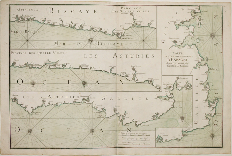
NEPTUNE FRANÇOIS.Livre Rare Book
47 résultats
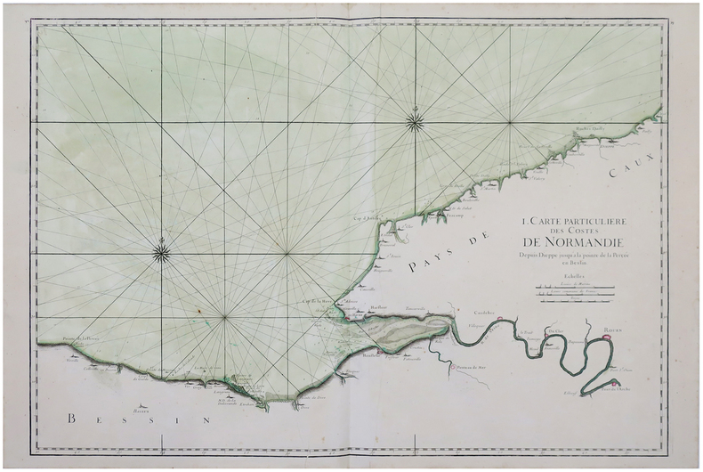
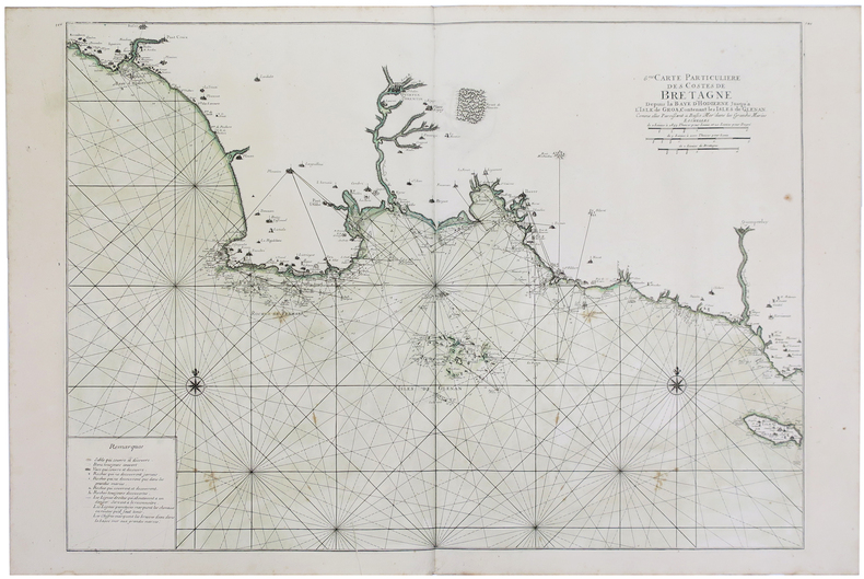
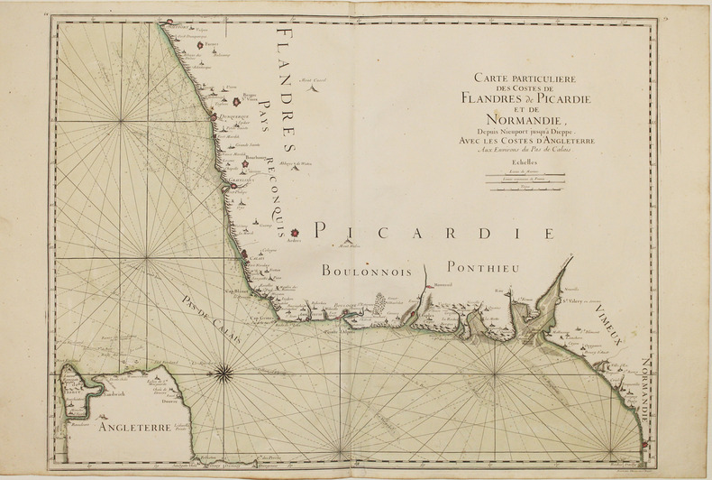
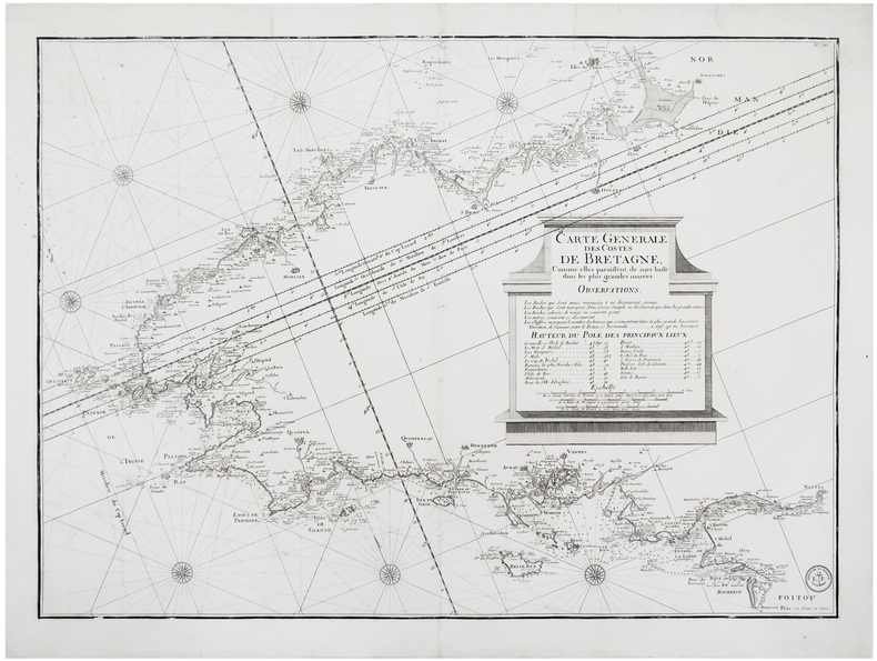
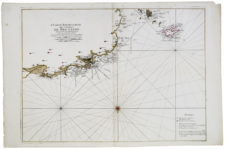
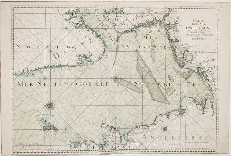
1820LBW-8794[Paris, circa 1820]. 598 x 806 mm.
1693LBW-28861693. 588 x 859 mm.
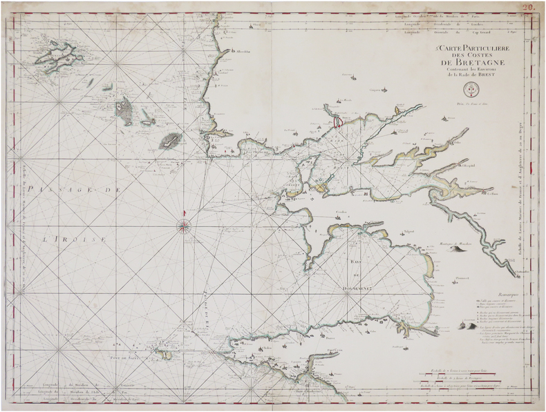
1810LBW-6248[Paris], Dépôt de la Marine, [circa 1810]. 543 x 753 mm.
1693LBW-5892[1693]. 582 x 798 mm.
1693LBW-2921[1693]. 454 x 895 mm.
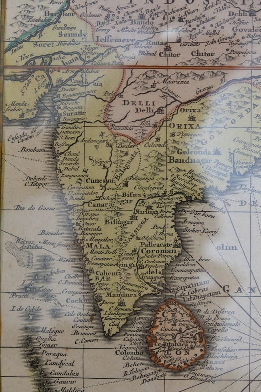
carte34t11Dimension du cadre : 52 x 61,5 cm. Cum adjacentibus insulis nova delineatione ob oculos pofita per Matthaeum Seutter. Cum gratia et Privil. S.R.I vicarcatus in partibus rheni, suevioe et juris franconici. Royaume de l'Inde. Magnifique carte, en très bon état général, dans un cadre sympathique.
169316118Very large engraved seechart, measuring 61 x 87,5 cm. in original outline colouring with large inset view of the harbour of Kinsal and Kinsal River. The chart showing the Westcoast of Ireland from Bay of Roonstahound to Kiriec (in lower left corner C. Berey scr.) A fine impression on good thick paper with the watermark: BYCOLUMBIER. fOLDED DOWN THE CENTER.
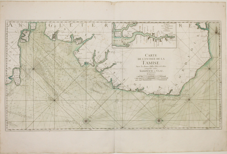
169316120Large engraved seechart, measuring 46 x 89 cm. in original outline colouring. The chart showing the South-east coast of England from Sandwich to Clay. With inset view of The Thames between London and Greane Island. A fine impression on good thick paper with watermark: BYCOLUMBIER. Folded down the center.
184647206Paris, Bachelier, 1846. 4to. No wrappers. In: ""Comptes Rendu hebdomadaires des Séances de l’Académie des Sciences"", Vol. 22, No 22. Pp. (893-) 928. (Entire issue offered). Le Verrier's paper: pp. 907-018.
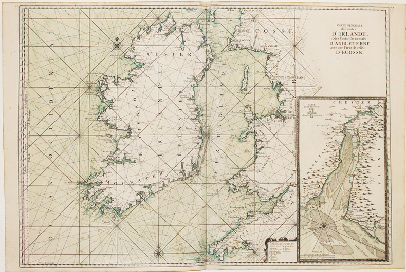
169316114(No date, no place, (1693). Very large engraved seechart, measuring 60,5 x 85,5 cm. in original outline colouring with inset view of the River Dee at Chester. The chart showing the whole of Ireland and the Westcoast of England from Cornwall to Cuningham in the north. A fine impression on good thick paper, bearing the watermark: BYCOLUMBIER. Folded down the center.
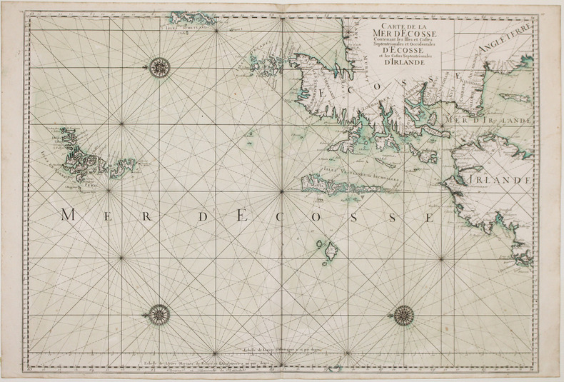
169316116(No place, no date(1693)). Very large engraved seechart, measuring 60 x 86,5 cm. in original outline colouring. The chart showing the Northern part of England from Lancaster to Banf, of Ireland from Blackrock to Carlingford and all the Islands to the north: Shetland, Orkney, Faroe etc. etc. A fine impression on good thick paper with the watermark: BYCOLUMBIER. Folded down the center.
1693LBW-2927[1693]. 590 x 880 mm.
169332305A Paris, (but Amsterdam, Pierre Mortier), 1693. 58x88 cm. Kobberstukket søkort over Øresund med den Skånsk/Hallandske kystline og den Sjællandske fra Møn i syd til Hesselø i nord. I pragtfuld fuld håndkolorering. Øverst i midten er indsat Amager og Saltholm i større målestok. Kortet ""ligger ned"", er orienteret øst/vest. Med kompasrose og vindretninger angivet.
169347353A Paris, (but Amsterdam, Pierre Mortier), 1693. 58x88 cm. Kobberstukket søkort over Øresund med den Skånsk/Hallandske kystline og den Sjællandske fra Møn i syd til Hesselø i nord. I pragtfuld fuld håndkolorering. Øverst i midten er indsat Amager og Saltholm i større målestok. Kortet ""ligger ned"", er orienteret øst/vest. Med kompasrose og vindretninger angivet.
1693LBW-2918[1693]. 607 x 868 mm.
1693LBW-2928[1693]. 585 x 873 mm.
184549635Paris, Bachelier, 1845 a. 1846. 4to. No wrappers. In: ""Comptes rendus hebdomadaires des séances de l’Académie des sciences"", Vol. 21, No 19, Vol. 22, No 22, Vol. 23, Nos 9, 14, 16 a. 17. (6 entire issues offered). Le verrier's papers: pp. 1050-1055 (No 19), pp. 907-919 (no 22), pp. 428-438 (No 9), pp. 657-659, 659-643, 676 (No 14), pp. 741, 741-754, 754 (No 16), pp. 798-799, 799-800 (No 17). With title-pages to vol. 21,22 a. 23. Titlepages with a small stamp in upper corner and a perforated stamp to lower margin. Light yellowing to title-pages, otherwise clean and fine on good paper.