610 résultats
Very Good German Original color map on cloth. Chipped on folded places. Otherwise a clean copy. Oblong atlas folio. (46 x 52 cm). Scale: 1/300.000. Toponyms in German. Shows Saraybosna (Sarajevo), and its around, Travnik, Kladanj, G. Yakuf, Konjiva, Gorazda, Mostar et alli. A sheet of the collection of 'The general map of Central Europe'. appeared in the years between 1873-1876 with the work of Joseph Ritter von Scheda, (1815-1888) who was a general, geographer and cartographer.
Very Good German Original color map on cloth. Chipped on folded places. It needs repair. Oblong atlas folio. (46 x 52 cm). Toponyms in German. Shows Durach (Durazzo) and its around, Musakija at south, western shores of Albania, Elbasan, and three bays (Drin Golf etc). A sheet of the collection of 'The general map of Central Europe'. appeared in the years between 1873-1876 with the work of Joseph Ritter von Scheda, (1815-1888) who was a general, geographer and cartographer.
Very Good German Original color map on cloth. Chipped on folded places. Otherwise a clean copy. Oblong atlas folio. (46 x 52 cm). Toponyms in German. Shows Brood area and its around, Djakovo, Tuzla etc. A sheet of the collection of 'The general map of Central Europe'. appeared in the years between 1873-1876 with the work of Joseph Ritter von Scheda, (1815-1888) who was a general, geographer and cartographer.
Very Good German Original color map on cloth. Chipped on folded places. Otherwise a clean copy. Oblong atlas folio. (46 x 52 cm). Scale: 1/300.000. Toponyms in German. Shows Gallipoli [and the Hellespont, Edremid Gulf, Imbros, Tenedos, Lesbos (Midilli), Aivali (Ayvalik) and North Aegean shores of Anatolia]. A sheet of the collection of 'The general map of Central Europe'. appeared in the years between 1873-1876 with the work of Joseph Ritter von Scheda, (1815-1888) who was a general, geographer and cartographer.
Very Good German Original color map on cloth. Oblong atlas folio. (46 x 52 cm). Toponyms in German. [MAP of OTTOMAN BALKANS] L.14. Berat. Shows South Albanian shores, Corfu, Berat et alli. Lithography. (Argyrokastro). A sheet of the collection of 'The general map of Central Europe'. appeared in the years between 1873-1876 with the work of Joseph Ritter von Scheda, (1815-1888) who was a general, geographer and cartographer.
Very Good German Original color map on cloth. Chipped on folded places. Otherwise a clean copy. Oblong atlas folio. (46 x 52 cm). Toponyms in German. Shows Krusevac and its around in Serbia. A sheet of the collection of 'The general map of Central Europe'. appeared in the years between 1873-1876 with the work of Joseph Ritter von Scheda, (1815-1888) who was a general, geographer and cartographer.
Very Good German Original color map on cloth. Chipped on folded places. Oblong atlas folio. (46 x 52 cm). Toponyms in German. [MAP of WEST WALLACHIA - CRAIOVA] N.10. Kraiova. A sheet of the collection of 'The general map of Central Europe'. appeared in the years between 1873-1876 with the work of Joseph Ritter von Scheda, (1815-1888) who was a general, geographer and cartographer.
Very Good French Original b/w map. Oblong: 57x66 cm. In French. Folded. It includes for pieces: Title, structure physique de la region, Thessalie and main part which shows the area from Ohrida Lake on the west to Golf of Thessaloniki on the east. [MAP] Mission antipaludique de l'Armee d'Orient: Carte des indices endemiques Macedoine, Thessalie, Serbie meridionale, confins albanais 1917 et 1918.
Very Good German Original color map on cloth. Chipped on folded places. It needs repair. Oblong atlas folio. (46 x 52 cm). Toponyms in German. Shows Kastoria area in Greece. A sheet of the collection of 'The general map of Central Europe'. appeared in the years between 1873-1876 with the work of Joseph Ritter von Scheda, (1815-1888) who was a general, geographer and cartographer.
Very Good German Original color map on cloth. Chipped on folded places. Oblong atlas folio. (46 x 52 cm). Toponyms in German. A sheet of the collection of 'The general map of Central Europe'. appeared in the years between 1873-1876 with the work of Joseph Ritter von Scheda, (1815-1888) who was a general, geographer and cartographer.
QWA-21142Athènes, Institut Français d'Athènes, 1988, 2 vol. in-8 br. (17x23,5),XXVI-682 p., Collection de l'Institut Français d'Athènes, pagination continue, réédition de l'étude parue en 1954, complet en deux tomes (le tome 3 n'ayant jamais paru), une carte historique h.-t. dépl. à la fin du tome 1, bon état.
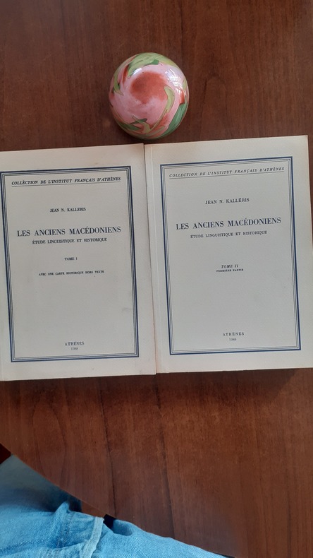
52063Collection de l’Institut français d’Athènes,1988
Wraps sunned to edges. Pages tanned. Gift Inscribed by the author to Christian Habicht. Signed to front wrap by author. Small tear to top of spine (1 cm). ; Extract (?) From Makedonikon, pp121-184. ; Demosieumata Tes Makedonikon Spoudon; 61 pages; Signed by Author
Comprehensive survey by an informed American journalist of the various countries and problems in the Balkans, the consequences of the collapse both of the Ottoman Empire and Communism. 307p. plates.bibliography.index.(Front cover slightly crumpled) . Book
Comprehensive survey by an informed American journalist of the various countries and problems in the Balkans, the consequences of the collapse both of the Ottoman Empire and Communism. 307p. plates.bibliography.index. Trade Pbk. Book
2006114871Thalia Art et Civlisations 2006 Thalia Edition, Coll. Art et Civilisations, 2006, 258 p., cartonnage éditeur sous jaquette, environ 31x25cm,
198076Paris, Rivière et Cie, 1938 in-8, 339 pp., broché.
0259302465.Gpaperback. Good. Access codes and supplements are not guaranteed with used items. May be an ex-library book. paperback
1962114430Club des libraires de France, coll. « Trésors des conteurs » 1962 Maquettes de Faucheux In-12 à l’italienne cartonnage éditeur pleine toile rouge avec vignette contrecollée sur premier plat. 19,8 cm sur 11. Illustrations en couleurs contrecollées Jaquette rhodoïd légèrement abîmée. Bon état d’occasion.
81805Paris, Club des Libraires de France, 1962. 11 x 20, 339 pp., quelques illustrations en couleurs, reliure d'édition pleine toile rouge + rhodoïd, très bon état.
47808Paris Emile Nourry, Editeur 1932 in 12 (18x12) 1 volume reliure demi basane havane bigarrée de l'époque, dos à nerfs, couverture conservée, 160 pages. Nouvelle édition complétée et suivie d'un épilogue. Rare. Bel exemplaire, bien relié ( Photographies sur demande / We can send pictures of this book on simple request )
165027240Paris Mathieu Guillemot 1650 Une gravure sur cuivre au burin en noir sur papier vergé, ligné, gravée d'après les originaux de l'édition de NICOLAY de 1568, Format à la cuvette : 27,3 centimètres de haut par 17,3 centimètres de large. Format total : 32,8 centimètres de haut par 21,3 centimètres de large, tirée de "L'histoire de la décadence de l'empire grec et établissement de celuy des Turcs" de Laonikos Chalcocondyle, par Thomas Artus d'Embry, d'après Nicolas de Nicolay, léger manque de papier en marge en bas à gauche ne touchant à aucun moment la gravure, 1650 Paris, Mathieu Guillemot Editeur,
ORD-14892Paris. Crès. 1924. In-12 (120 x 184mm) broché, couverture jaune imprimée, 3ff., 303 pages, carte repliée en fin d'ouvrage. Envoi à M. J.J Brousson et on joint une LAS de l'auteur à René Georges Aubrun, enveloppe (tachée) conservée. Bon exemplaire. Edition originale.
Tiny tear to head of spine (1/2 cm). Spine slightly sunned. Scholar's name to half-title (Christian Habicht). ; 293pp. ; 293 pages
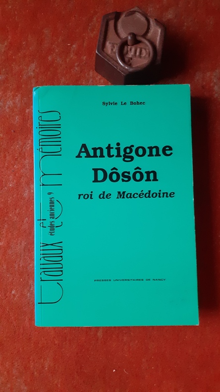
QWA-21240Nancy, Presses Universitaires de Nancy, 1993, in-8 br. (16 x 24), 525 p., coll. "Travaux et Mémoires / Etudes anciennes", 6 planches h.-t. in-fine, cartes et plans, très bon état.