ALEKSANDRA POPVASILEVA.MareMagnum
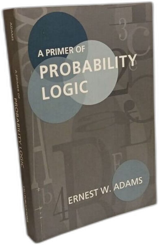
Adams Ernest WLivre Rare Book
A Primer of Probability Logic: Volume 68 (Lecture Notes Band 68)
1996100137622Center for the Study of Language and Inf 1996 392 pages 15 27x2 34x22 89cm. 1996. Broché. 392 pages.
Un Autre Monde · Val Couoesnon, France16,00 €