Nicholas Sanson (1600-1667).Biblio.com

946 résultats
18-1027Paris: 17th Century European Publisher 1648. 22 x 16 inches. Very Good. 17th Century hand colored map of Lower Lombardy. Some toning and two one-inch tears at bottom edge. Text in French. Scarce.Nicholas Sanson 1600-1667 is considered the father of French cartography in its golden age from the mid-seventeenth century to the mid-eighteenth. Over the course of his career he produced over 300 maps. His success can be chalked up to his geographic and research skills but also to his partnership with Pierre Mariette. Previously Sanson had worked primarily with the publisher Melchior Tavernier. Mariette purchased Tavernier’s business in 1644. Sanson worked with Mariette until 1657 when the latter died. Mariette’s son also Pierre helped to publish the Cartes générales de toutes les parties du monde. [Paris]: 17th Century European Publisher, [1648]. unknown
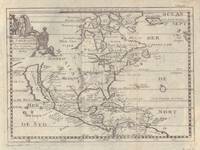
17005097Sanson being d'Abbeville Geograph du Roy. Map covers North America with a small amount of South America included. Has California as an island. 9 3/4 x 7 1/2 inches. Chez Paul Marret
1950158225Rome: Unitalia Film / IFE 1950. Collection of 14 vintage oversize promotional brochures for Italian and international actresses. Each brochure features a one-page biography in Italian and a full-page black-and-white photograph of each actress. <br /> <br /> Actresses represented are Sylvana Mangano Isa Miranda Annamaria Gerrero Yvonne Sanson Alida Valli Delia Scala Ingrid Bergman Silvana Pampanini Lea Padovani Lucia Bose Eleanora Rossi Gina Lollobrigida Carla Del Poggio and Anna Magnani. <br /> <br /> 11 x 14.25 inches folded once vertically as issued with a company statement on the verso. Very Good plus overall some with light toning and foxing and a few with short tears. Unitalia Film / IFE unknown
166133640ABA Paris chez P. Mariette 1661. Blattgrösse: 43x53,5 cm. Grenzkolorierte Karte (30x33 cm) von Nicolas Sanson, gestochen von Lalleman und Somer.
166733634AB(Paris, Nicolas Sanson). 1667. Blattgrösse: 46x61,5 cm. Grenzkolorierte Karte (36,7x55 cm) von Nicolas Sanson, gestochen von Robert Cordier.
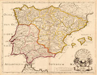
170054030Nicolas Bion: L'Usage des Globes. Amsterdam: Francois Halma. 1700. Attractive map of Spain divided into its provinces. Maps by Sanson in original colour are rare. Nicolas Sanson was founder of the French school of mapmakers at a time when the leadership in European cartography passed from the Low Countries to France. This map was published in Brion's treatise on globes. Nicolas Brion was a famous French mathematical and scientific instrument maker. Copper engraving. Fine condition. Original colour. Size: 23.5 x 18 cm. 9½ x 7 inches. unknown
1865551091 vol. in-12 br., Henri Plon, Paris, 1865, 482 pp.
188834050Paris: Lib. agricole de la raison rustique 1888. Fine. Lib. agricole de la raison rustique Paris 1888-1893 11.50 x 18.50 cm 5 volumes reliés Third edition with some parts in first edition as revised and corrected. The first volume is part of the third printing of the third edition the following volumes are part of the second printing. Half red shagreen bindings spines with five raised bands set with gilt fillets and showing minor rubbing on some volumes spines decorated with gilt floral motifs three joints with slight lacks at heads blind fillet frames on red cardboard boards boards of first volume discolored contemporary bindings. Work illustrated with figures in the text. Some foxing. Rare. Lib. agricole de la raison rustique hardcover
1651284611651 une carte ancienne gravée sur cuivre (Copper etching) en noir . Format : 44 x 58 cm, par Nicolas SANSON carthographe, 1651 [s.n.] Editeur,
1916-25Paris H. Jaillot 1692. Alt grenzkolorierte Kupferstichkarte von 2 Platten. 64 5 x 99 cm Blattgr. Breitrandiges Exemplar. Äußere Ränder etwas gebräunt kleiner Randeiniß sonst gut erhalten. Großformatige Karte von Guillaume Sanson 1633-1703 die das Gebiet von Deggendorf bis Wagram und von Kromeríz/Kremsier bis Veszprém/Weissbrünn mit dem Neusiedler See Newsidler See zeigt. Aus dem Verlag von Alexis-Hubert Jaillot um 1632-1712 der eng mit Sanson zusammenarbeitete. Paris, H. Jaillot 1692. unknown
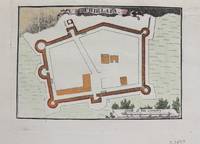
1690M9479Paris c.1690. Very Good. Notes: Map of Chielafa Greece during the late 17th century. Size : 105x152 mm 4.13x5.98 Inches Coloring: Hand Colored Category: Maps Europe Greece Macedonia; unknown
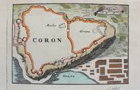
1690M9480Paris c.1690. Very Good. Notes: Map of Coron Greece during the late 17th century. Size : 103x153 mm 4.06x6.02 Inches Coloring: Hand Colored Category: Maps Europe Greece Macedonia; unknown
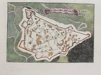
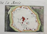
1690M9473Paris c.1690. Very Good. Notes: A charming map of Fort D'Asso Greece during the late 17th century. Size : 104x153 mm 4.09x6.02 Inches Coloring: Hand Colored Category: Maps Europe Greece Macedonia; unknown
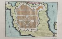
1690M9475Paris c.1690. Very Good. Notes: A charming map of Forteresse de Zante Greece during the late 17th century. Size : 104x154 mm 4.09x6.06 Inches Coloring: Hand Colored Category: Maps Europe Greece Macedonia; unknown
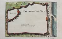
1690M9474Paris c.1690. Very Good. Notes: A charming map of Forteresse de Volo Greece during the late 17th century. Size : 104x153 mm 4.09x6.02 Inches Coloring: Hand Colored Category: Maps Europe Greece Macedonia; unknown
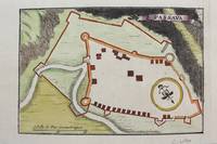
1690M9481Paris c.1690. Very Good. Notes: Map of Passava Greece during the late 17th century. Size : 104x153 mm 4.09x6.02 Inches Coloring: Hand Colored Category: Maps Europe Greece Macedonia; unknown
1690M9483Paris c.1690. Very Good. Notes: A charming map of Zarnata Greece during the late 17th century. Size : 103x152 mm 4.06x5.98 Inches Coloring: Hand Colored Category: Maps Europe Greece Macedonia; unknown
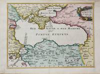
1656M10647Paris c.1656. Very Good. Size : 182x246 mm 7.17x9.69 Inches Coloring: Hand Colored Category: Maps Russia; Maps Asia Near East Turkey; Maps Europe Ukraine; unknown
170419604Paris: N. Sanson 1704. Other. In very good condition a slightly creasing in the lower part of the centrefold with minor tiny spots. 410 by 525mm 16¼ by 20¾ inches. 410 by 525mm 16¼ by 20¾ inches. Copper engraving hand colored in outline when published. Interesting and detailed map of ‘Antique SpainÂ’ with Portugal and the Balearic Islands by the French cartographer Nicolaus Sanson d´Abbeville. The map provides us a lot of information of the various place names of cities and small towns the rivers mountains and also engraved borders of the various Spanish provinces. The map impresses with the geographic exactness which is typical for the French cartographer Nicolaus Sanson. In the decorative cartouche which is in shape of a seashell we find the altered date ‘1704Â’ which is a relatively late edition for maps by N. Sanson. The map is probably published in a French composit atlas around this date. N. Sanson unknown
20241870081L'Erma di Bretschneider 2024. paperback. New. 0x0x0. L'Erma di Bretschneider paperback
a92271Paris 1681. Chez H. I Aillot. first edition Color map 33 x 22 inches with 2 inch blank border on all 4 sides. "Dresse sur les Memoirs les plus Nouveaux par le S. Sanson Geographe Ordinaire du Roy." Fancy pictorial circle around map title and similar around map's key. Densely decorated map with lines of color in red pink orange green. No tears. Folded in half. One very light stain appears water-based at center fold about 8 inches by 1 inch. Very pretty map with bold black outlines and bright colors. Good plus condition. Map - ephemera. . unknown
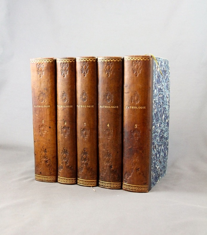
18442531A Paris, Chez J.-B. Baillière, 1844. 5 vol. in-8 de XXI, 816 + 532 + 668 + 723 + 748 p. demi-basane marron, dos lisses ornés de fers à froid et de roulettes et filets dorés. Dos passés, quelques griffures sur les dos et les plats auréoles sur quelques ff. au vol. 5.
166033638ABA Paris chez P. Mariette 1660. Blattgrösse: 44x58 cm. Grenzkolorierte Karte (36,7x55 cm) von Nicolas Sanson, gestochen von Somer.
118019aafParis, 1652, carte gravée sur cuivre, coloriée d’époque, 1 feuille. (31x38 cm).
1674ag658Jaillot H. Carte 1674 Cartes en une partie, 42 par 56 cm ; frontières surlignées en couleur, mouillures marginales, n'atteignant pas la carte, bel exemplaire. Livraison a domicile (La Poste) ou en Mondial Relay sur simple demande.