Sanson, Henri 1767-1849Biblio.com
946 résultats
1372607536.Ghardcover. Good. Access codes and supplements are not guaranteed with used items. May be an ex-library book. hardcover
1363331558.Gpaperback. Good. Access codes and supplements are not guaranteed with used items. May be an ex-library book. paperback
1178214176.Gpaperback. Good. Access codes and supplements are not guaranteed with used items. May be an ex-library book. paperback
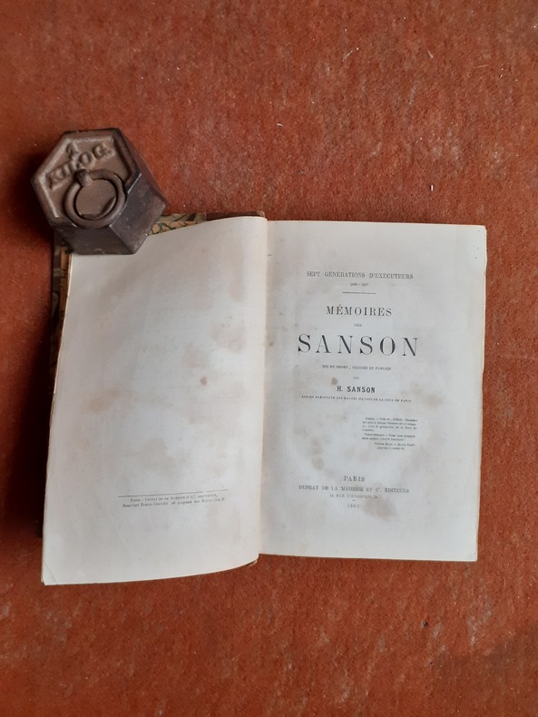
1862R260127810DUPRAY DE LA MAHERIE ET Cie. 1862. In-8. Relié. Etat d'usage, Coins frottés, Dos frotté, Quelques rousseurs. 447 pages. Dos de percaline marrons, titres dorés. Papier noir sur les plats.. . . . Classification Dewey : 848-Ecrits divers, citations, journaux intimes, souvenirs, mémoires
QWA-14924Dupray de la Mahérie et Cie, 1862, in-8 rel. 1/2 bas. marron (15 x 23), 447 p., E.O., tome 2 seul sur les 6 parus, dos à 5 faux-nerfs un peu frotté, rousseurs éparses, néanmoins bonne reliure solide, assez bon état.
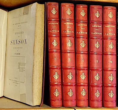
186211174Dupray de la Mahérie et Cie Paris 1862-63 6 vol. 6 vol. in-8 de 432 pp. 2 ff.n.ch., 2 ff.n.ch. 447 pp. 2 ff.n.ch., 2 ff.n.ch. 481 pp. 1 f.n.ch., 2 ff.n.ch. 451 pp. 2 ff.n.ch., 2 ff.n.ch. 516 pp. 1 f.n.ch. et 2 ff.n.ch. 544 pp. 1 f.n.ch.; demi-chagrin rouge de l'époque, dos à nerfs orné.
1865551091 vol. in-12 br., Henri Plon, Paris, 1865, 482 pp.
175254049Amsterdam. Uten år. 1752. Originalt kobberstikk. Arkets størrelse : 175 cm X 164 cm. Fransk. <br/><br/><em>Med en brett.Fra 'La Science des Personnes de Cour d'Epee et de Robe' by Z. Chatelain. </em> unknown
2000RO20264237LA MAISON RUSTIQUE / FLAMMARION. 2000. In-4. Relié. Etat d'usage, Couv. convenable, Dos fané, Rousseurs. 287 pages - texte sur plusieurs colonnes - nombreuses photos couleur, dans et hors texte. . . . Classification Dewey : 684-Ameublement, bricolage à la maison
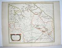
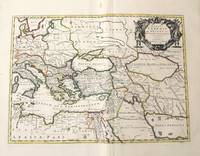
1654M2853Paris 1654. Excellent. Size : 415x483 mm 16.375x19 Inches Coloring: Original Outline Coloring Category: Maps Russia unknown
16548874Paris: Pierre Mariette 1654. Copper engraving 41.5 x 47.5 cm original hand-colour in outline trivial spotting blank verso. Showing parts of European Russia and Ukraine in antiquity. For Greco-Roman geographers and ethnographers Sarmatia was in western Scythia bordering the Roman Empire. Nicolas Sanson 1600-1667 founder of the Sanson dynasty of map-makers is considered by many to be the father of the French school of cartography. He was a prolific and original map-maker admired for the clarity and scientific accuracy of his maps. Map Pierre Mariette unknown
Ritratto del personaggio distintosi nelle vittorie e conquiste militari francesi tra il 1792 e 1815. L'incisione, antica ed originale, è accompagnata da pagina con testo descrittivo del personaggio. Foxing
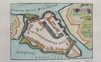
1690M9472Paris c.1690. Very Good. Notes: A charming map of Santa Maura on the island of Lefkada Greece during the late 17th century. <br><br> Size : 104x153 mm 4.09x6.02 Inches Coloring: Hand Colored Category: Maps Europe Greece Macedonia; unknown
220271Rouen [puis :] Paris, Schneider [puis :] Honoré Champion, s.d. (1911-1912) 5 vol. in-8, demi-chagrin cerise, dos à nerfs, couvertures conservées (reliure de l'époque).
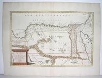
1655M2801Paris: Mariette Pierre 1655. Excellent. Size : 345x523 mm 13.625x20.625 Inches Coloring: Original Outline Coloring Category: Maps Africa North Egypt Mariette, Pierre unknown
170054022Nicolas Bion: L'Usage des Globes. Amsterdam: Francois Halma. 1700. Attractive map of north eastern Africa including Egypt and northern Libya. Much of the charm of early maps of Africa lies in how they show the interior of the continent which was not explored until the 19th century. Maps by Sanson in original colour are rare. Nicolas Sanson was founder of the French school of mapmakers at a time when the leadership in European cartography passed from the Low Countries to France. This map was published in Brion's treatise on globes. Nicolas Brion was a famous French mathematical and scientific instrument maker. Copper engraving. Very good condition. Darkened edges to margins. Faint inkstamp on right margin not affecting map. Original colour. Size: 27 x 17 cm. 10½ x 6½ inches. unknown
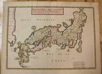
1656M8114Paris c.1656. Very Good. Size : 375x521 mm 14.76x20.51 Inches Coloring: Original Hand Coloring Category: Maps Asia Far East Japan & Korea; unknown
H32ca. 1750. 30 mal 21 cm. Gefalt. Karte. unknown
1663LBW-9481663 417 x 378 mm.
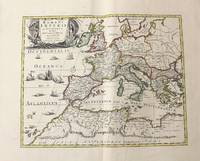
1710M10331Amsterdam: Jean Covens & Corneille Mortier c.1710. Very Good. Size : 410x508 mm 16.14x20.00 Inches Coloring: Original Outline Coloring Category: Maps Africa North; Maps Europe Continent; Maps Mediterranean Sea; Jean Covens & Corneille Mortier unknown
1710M10332Amsterdam: Jean Covens & Corneille Mortier c.1710. Very Good. Size : 403x555 mm 15.87x21.85 Inches Coloring: Original Outline Coloring Category: Maps Mediterranean Sea; Maps Asia Middle East; Jean Covens & Corneille Mortier unknown
1720LBW-464Amsterdam, J. Covens et C. Mortier, [circa 1720]. 400 x 501 mm.
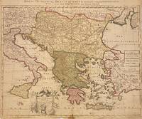
1705311838Amsterdam: Petrus Schenk 1705. unbound. Map. Engraving with original hand outline. Image measures 18 7/8" x 22 3/4"<br/> <br/> Beautiful map of southeastern Europe extending from Italy to Turkey and from Hungary to Cyprus. Published circa 1705 this map depicts the region during the Ottoman-Habsburg wars. In fair condition. Wear to original centerfold with tape repair and stain at bottom edge. Lower margin worn and frayed not affecting the image. Minor cracking and small loss near center due to oxidization of original viridian green coloring. Some foxing. Publisher's crease to upper right corner. Sold as-is.<br> <br> Petrus Schenk c.1660--1711 was a German engraver and cartographer. He began his training in Amsterdam in the art of mezzotint and soon began working closely with Gerard Valck. The two took advantage of the bustling cartographic trade in the city and quickly expanded their business from portraits and prints into maps and globes. In 1700 Schenk grew the business further by moving to Leipzig Germany and opening a shop. As his sons and grandson returned to the Netherlands to become active engravers as well the Schenk firm developed into one of the best-known publishing houses in 18th-century Amsterdam. This map attests to Schenk's prolific production and skill in both cartographic artistry and business.<br/> <br/> Petrus Schenk unknown
194338552D. Appleton -Century. Good with no dust jacket. 1943. Revised Edition. Hardcover. Spine is straight binding is tight name sticker inside the book reading pages have some underlining some wear. Map is in very good condition and comes with the book.; 9x6x1.5; 554 pages . D. Appleton -Century hardcover
2343199892.Gpaperback. Good. Access codes and supplements are not guaranteed with used items. May be an ex-library book. paperback