SANSON HenriLivre Rare Book
946 résultats
1984176059Cerf Cerf, 1984. In-8 broché de 195 pages. Bon état.
184242435Gustave Martin 1842 In-12, plein-maroquin violine, dos lisse, filets bruns, dentelles dorées, dentelles d’encadrement des plats, VI- 348 pp. Infimes frottements. Très bon exemplaire.
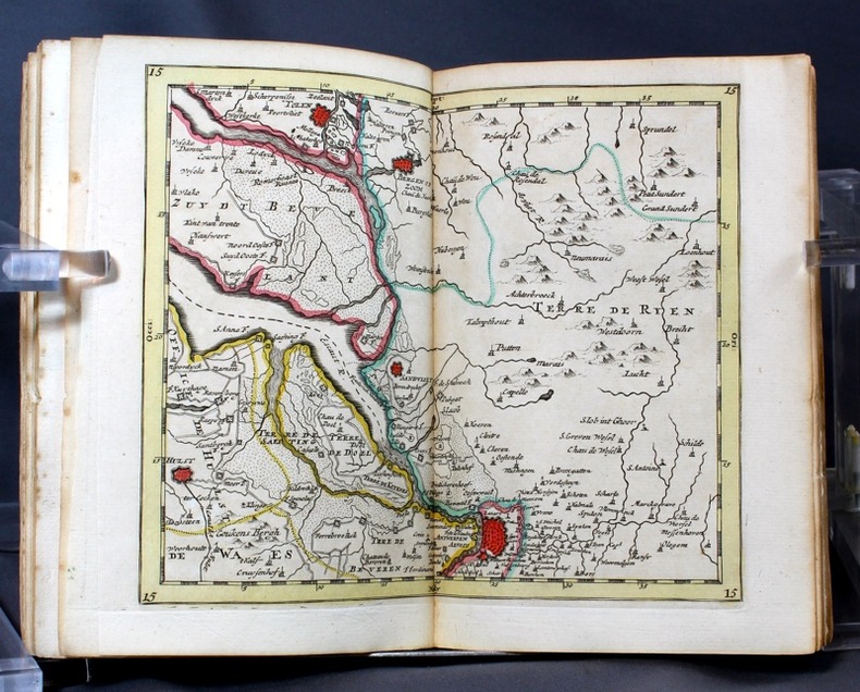
16986697Amsterdam, Pierre Mortier, sans date [circa 1698]. In-8 broché de [titre gravé]-[2]-23-[1]p., 35 cartes, 1 pl., 40-8p. couverture de papier marbré du temps, étiquette manuscrite au dos. Coins légèrement arrondis, petits manque de papier au second mors.
118019aafParis, 1652, carte gravée sur cuivre, coloriée d’époque, 1 feuille. (31x38 cm).
195349751953 Les Travaux et les Jours, Paris, Presses Universitaires de France, 1953,1 Volume broché, 193 x 144 mm. 144 pp. 20 Figures dans et hors texte. Comme neuf.
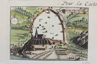
1690M9477Paris c.1690. Very Good. Notes: A charming map of Athens Greece during the late 17th century. Size : 103x154 mm 4.06x6.06 Inches Coloring: Hand Colored Category: Maps City Maps; Maps Europe Greece Macedonia; unknown
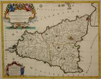
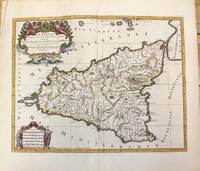
1692M7516Paris: Hubert Jaillot c. 1692. Very Good. Notes: Title cartouche in upper left features Sicilian coat of arms winged angels and merpeople while the scale in the lower left is held on each side by allegorical figures of labour and harvest. Mount Etna is represented pictorially. Size : 418x530 mm 16.46x20.87 Inches Coloring: Hand Colored in Outline Category: Maps Mediterranean Islands; Hubert Jaillot unknown
1696M10189Amsterdam: Covens & Mortier c.1696. Very Good. Size : 420x540 mm 16.54x21.26 Inches Coloring: Hand Colored Category: Maps Mediterranean Islands; Covens & Mortier unknown
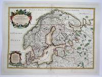
1708M4264Paris 1708. Very Good central fold reinforced mounted on acid free canvas. Size : 474x655 mm 18.625x25.75 Inches Coloring: Hand Colored in Outline Category: ; Maps Europe Scandinavia unknown
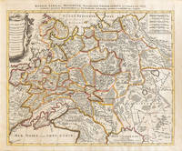
1710009147Amsterdam: Petrus Schenck 1710 Cooper engraving 46.5 x 58.0 cm on paper measuring 51.0 x 63.5 cm with original outline coloring flattened expertly restored and backed with archival tissue paper. The Latin title in the top border reads: "Russiae Albae sive Moscoviae delineatio Geographica accurata et nova…". A good copy of a Moscovie map published in Amsterdam by Petrus Schenck. Petrus Schenck unknown
2004H-405-5902004. Paperback. Good. Former library book. Different cover. Different publisher. Ammareal gives back up to 15% of this item's net price to charity organizations. paperback
BN105020Softcover. La place verte - roman <br/><br/>La place verte - roman paperback
16511111150111Paris 1651. Map. Very Good. Paris: Sanson Marriette 1651. 55.3 x 39.2 cm. Black-and-white copper plate engraved chart of primarily Eastern Europe with Turkey in the lower right panel. Modern hand-coloring applied to political boundaries. Title cartouche in upper right corner. Numbered 299 in upper right corner. Otherwise clean unmarked sheet with slight toning to edges. Vertical crease down center from atlas extraction. Minor chipping to edges. Colors are bright and vivid. Lines remain crisp and clear.<br><br>Nicolas Sanson was a Jesuit-trained French cartographer who attracted attention with a detailed accurate map of Gaul which he constructed when only 18. Active from 1627 Sanson issued his first map of importance the Postes de France which was published by Melchior Tavernier in 1632. After publishing several general atlases himself he became the associate of Pierre Mariette a publisher of prints.<br><br>The following map is one of the many prints Sanson collaborated with Mariette on. Unlike Jaillots future reproductions the original plates maintain a more modest decorative style with understated cartouches and less flourish or embellishment. Please feel free to view our photographs of this piece. Paris unknown
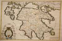
1692M7546Paris: H. Jaillot c. 1692. Very Good;. Notes: The title cartouche in the lower left corner is encased in a floral wreath at the bottom of which sits a winged lion wielding a sword and standing at a pulpit. At the top of the wreath sits a coat of arms held by two winged putti. Encircling the wreath are little diagrams of various fortifications around Greece. Size : 565x845 mm 22.24x33.27 Inches Coloring: Original Outline Coloring Category: Maps Europe Greece Macedonia; H. Jaillot unknown
0364430451.Ghardcover. Good. Access codes and supplements are not guaranteed with used items. May be an ex-library book. hardcover
189738358Paris: Lib. agricole de la Maison rustique 1897. Fine. Lib. agricole de la Maison rustique Paris 1897 11.50 x 18.50 cm relié Third edition. Full black cloth binding smooth spine minor epidermis damage to boards two small lacks to one joint an ink stain affecting the margins but not the text. Work illustrated with 34 figures in the text. Lib. agricole de la Maison rustique hardcover
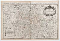
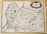
49665Paris: 1690. 54 x 87.5 cm. Double page copper engraved map of Lorraine. Original outline colour. Large decorative cartouche to upper right corner. Horizontal crease parallel and adjacent to centrefold otherwise good. [Paris:] 1690 unknown
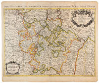
1710009140Amsterdam: Pierre Mortier 1710 Cooper engraving 46.5 x 61.5 cm on paper measuring 54.0 x 64.5 cm with original color in outline minor spotting and creasing remnants of centerfold. A good copy of a map of the Duchy of Lorraine and surrounding territories published in Amsterdam by Pierre Mortier to illustrate events of the War of the Spanish Succession. Pierre Mortier unknown
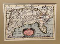
173422619Utrecht 1734. Full-title: La Floride. Par N. Sanson d' Abbeville Geogr. Ordre du Roy. Copper engraved double-page hand colored map. Neat pencil writing on verso "Henri Du Sauzet 1734". Image size 7" x 9 7/8". Tipped in double-mat. Fold line down center else a fine copy. The map covers southern states and coastline from Secotan in Virginia to Planuco in Mexico. Showing political and administrative boundaries major cities towns villages rivers mountains drainage etc. <br /> <br /> Nicolas Sanson 1600 – 1667 was a French cartographer who served under two kings in matters of geography. He has been called the "father of French cartography." <br /> <br /> Henri Du Sauzet 1686/87 - 1754 was a bookseller/publisher in Amsterdam during the early to mid-eighteenth century. unknown
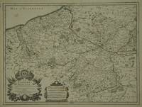
30600Paris: Jaillot. 1689. 43.1 x 57 cm. Original outline colour. Single page folio map of southern Flanders and Artois. Blank on verso. Small tear without loss at upper edge just touching image. Small section of upper margin missing though not affecting map. Small brown spot to centre of lower edge. Paris: Jaillot. 1689 unknown
0364632410.Ghardcover. Good. Access codes and supplements are not guaranteed with used items. May be an ex-library book. hardcover
0666488207.Gpaperback. Good. Access codes and supplements are not guaranteed with used items. May be an ex-library book. paperback
1659M4916Paris 1659. Very Good. Notes: Map of Baltic region of Estonia Latvia including Riga to Vilnius Wilna and parts of Lithuania. <br><br>Nicolas Sanson 1600–1667 was a renowned French cartographer termed by some as the "father of French cartography." His works are known for their incorporation of the most up to date information of the time and their clean modern style. Size : 410x535 mm 16.125x21 Inches Coloring: Original Outline Coloring Reference: Category: Maps Europe Estonia Latvia unknown
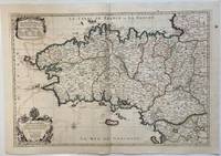
1693324404Paris: Alexis-Hubert Jaillot 1693. Map. Engraving with hand colored outline. Image measures 21" x 31"<br/> <br/> This large 17th century double-page map features the Brittany region of France. Cities towns abbeys government buildings rivers ports and harbors are labeled. Mountains forests and wetlands are depicted pictorially. The attention to detail in topography and population centers hints at the abundance of the region known for its production of Muscadet wine cheese boar seafood and other agricultural products. Executed by Nicolas Sanson in dedication to his son this map was published by Alexis-Hubert Jaillot in Paris and later reproduced in Amsterdam by Jaillot and Pierre Mortier. This early edition is scarce and hard to find. In very good condition with some offsetting to left side and a spot in the right margin. <br> <br> Nicolas Sanson 1600-1667 is considered the founder of the French school of cartography. In reaction to the prevailing trend of Dutch lavishness Sanson favored minimal details focusing rather on accurate cartography than ornament.<br/> <br/> Alexis-Hubert Jaillot unknown
1700M7994Paris c. 1700. Very Good. Notes: Engraved by Cordier.<br>A map of Central Germany. Frankfurt appears at the south-center of the map. Size : 457x648 mm 17.99x25.51 Inches Coloring: Original Hand Coloring Category: Maps Europe Germany; unknown