40 résultats
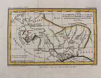
170920913Paris Pierre Emery 1709 -in-4 plein-veau 1 volume, reliure plein veau brun moucheté in-quarto (binding full calfskin in-4) (26 x 20 cm), RELIURE D'EPOQUE, dos à nerfs (spine with raised bands) décoré "or" et à froid (gilt and blind stamping decoration), titre frappé "or", pièce de Titre sur fond bordeaux avec filet "or" , filet perlé "or" et roulette "or" en encadrement, roulette "or" en place des nerfs avec un filet à froid de part et d'autre (avec importants manques de dorure), entre-nerfs à fleuron central "or"au fer évidé (between the raised bands floweret with hollowed out blocking stamp) dans un encadrement d'un filet "or" et un filet perlé "or" avec rinceaux "or" aux angles, roulette "or" en pied, coiffes manquantes, coins émoussés, roulettes "or" sur les coupes avec manque de dorure (blurred gilding), toutes tranches lisses jaspées rouges, orné d'une vignette "marque de l'Editeur" en bas de la page de titre aux armes royales + 2 bandeaux Historiés gravé sur bois en noir + une Grande Carte dépliante hors-texte : "Carte du Voïage des Israëlites dans le desert depuis leur sortie de l'Egipte jusqu'au passage du Jourdain", gravée sur bois en noir par LIEBAUX Géographe + 2 gravures tête de Chapitre historiée gravée sur bois en noir par F. Duflos +2 lettrines Historiées gravée sur bois en noir + 2 plans gravés in-texte en noir (page 372) + un cul-de-lampe historié gravé sur bois en noir, mors haut et bas du 1er et 4ème plats fendus sur 3 cm, [ XXXII + (2 p. de privilège) + 387 + 17 p. de tables + LXXII + 389 + 19 p. de tables ] Pages, 1709 à Paris chez Pierre Emery Editeur,
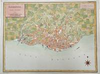
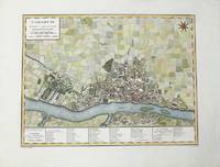
1792M4211Paris 1792. Very Good upper margin has been extended. Notes: Map of Lisbon capital of Portugal published in late 18th century.<br>Antoine-François Tardieu 1757-1822 was a French geographical engraver and publisher active in Paris during the late 18th and early 19th centuries. Size : 340x447 mm 13.375x17.625 Inches Coloring: Hand Colored Category: Maps City Maps; Maps Europe Portugal unknown
17569332Paris, Desaint & Saillant; Durand, 1756. In-8 de VIII-184 pages, pleine basane brune, dos à nerfs orné de filets et fleurons dorés, pièce de titre bordeaux. Sans coiffes, coupes et coins frottés.
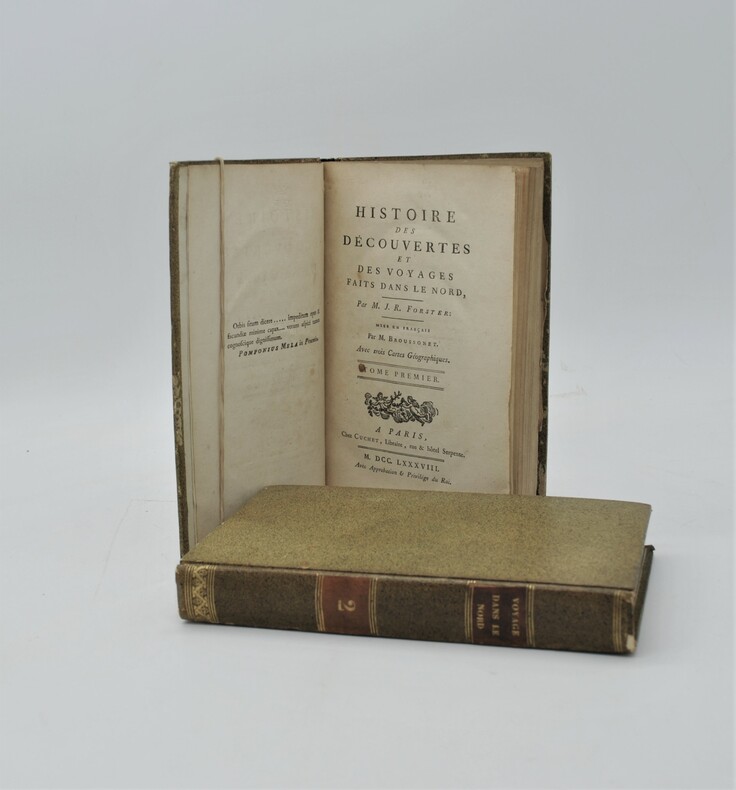
1788PHO-753Paris, Cuchet, 1788. 2 volumes in-8 de xv, 399 pp. ; xii, 410, (2) pp. Cartonnage jaspé, p. de titre et de tom. (reliure de l'époque). Illustré de 3 grandes cartes dépliantes.
179817003Sur le Pas-de-Calais 1798. Only edition. Hardcover. Fine. 8vo. ivi106pp. Bound to style in half leather; red leather lettering label gilt mottled paper boards with tooling in blind; handmade paper end papers. With the large folding map of the British Isles by Tardieu. A fine copy. In French. Divided into sections by name or group and attributed to the Comte de Girardin 1762-1827. Rare. Lowndes p. 274. Sur le Pas-de-Calais hardcover books
1798005808Paris: Dezauche et Tardieu 1798. First edition. NA. Very Good. Spectacular topographical map printed in the sixth year of the Revolutionary French Republic -- the Directoire. The oversized copper engraved map assembled from six separate folding parts all linen backed. The map features a very beautiful and large allegorical title cartouche in one corner and a highly decorative key Explication des Signes contained in a large pastoral illustration and set in a pyramid monument. The individual pieces are 49 by 75 cm and the map in its entirety measures about 147 by 148 cm we are not counting overlapped margins. Slipcase which we believe is the original measures 19 by 13 by 5.5 cm. Fairly scarce with just five institutional holdings showing on OCLC First Search and all these national libraries: the British Library the BNF the Bayerishces Staatsbibliothek the Sachsiches Landesbibliothek the Biblioteca Nacional de Espana. Labels with handwritten details on the linen side of the maps exposed when the maps are folded and on the box. Lightest of scattered soiling on the map. The slipcase likewise. <br /><br /> Dezauche et Tardieu books
1798005808Paris: Dezauche et Tardieu 1798. First edition. NA. Very Good. Spectacular topographical map printed in the sixth year of the Revolutionary French Republic -- the Directoire. The oversized copper engraved map assembled from six separate folding parts all linen backed. The map features a very beautiful and large allegorical title cartouche in one corner and a highly decorative key Explication des Signes contained in a large pastoral illustration and set in a pyramid monument. The individual pieces are 49 by 75 cm and the map in its entirety measures about 147 by 148 cm we are not counting overlapped margins. Slipcase which we believe is the original measures 19 by 13 by 5.5 cm. Fairly scarce with just five institutional holdings showing on OCLC First Search and all these national libraries: the British Library the BNF the Bayerishces Staatsbibliothek the Sachsiches Landesbibliothek the Biblioteca Nacional de Espana. Labels with handwritten details on the linen side of the maps exposed when the maps are folded and on the box. Lightest of scattered soiling on the map. The slipcase likewise. Dezauche et Tardieu unknown
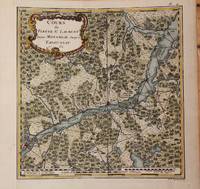
1762M9032Paris 1762. Very Good backed on acid free tissue paper for long term preservation left margin is extended. Notes: Fine and scarce French 18th century map of St. Lawrence River and Quebec. The course of the river to the East is from Montreal and passing through the Quebec City and it extends to Tadoussac. Size : 220x215 mm 8.66x8.46 Inches Coloring: Hand Colored Reference: Kershaw vol.II #659. Category: Maps Canada East Quebec; Maps Canada East Quebec St. Lawrence River; unknown
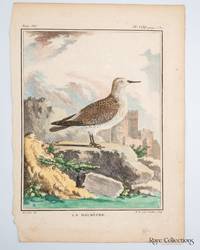
1780321871780. Print from "Histoire Naturelle générale et particulière" by Georges-Louis Leclerc and Comte de Buffon. Illustrator Left: De Seve del. - Jacques de Sève a principal illustrator for Buffon who was famous for placing animals in stylized often dramatic landscapes like the castle seen here. Engraver Right: M. R. veuve Tardieu Sculp. - Marie-Anne Tardieu née Roussellet the widow of the noted engraver Pierre-François Tardieu. Plate XXXI from Volume VII. Paper Size 250mm x 180mm and Plate size 185mm x 145mm. Hand-coloured copper engraving. unknown
1786M6642Paris 1786. Very Good;. Size : 326x215 mm 12.83x8.46 Inches Coloring: Original Outline Coloring Category: Maps Europe Greece Macedonia; unknown
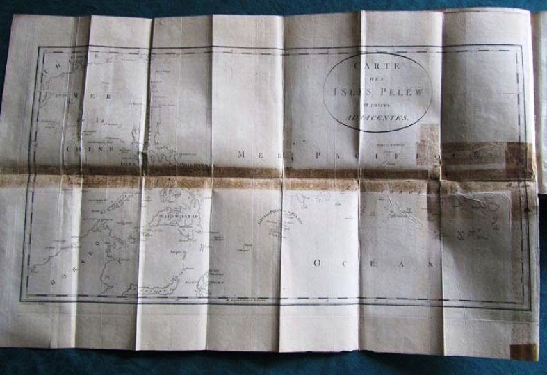
179314659Situées dans la partie occidentale de l'Océan Pacifique; Composée sur les journaux et les communications du Capitaine Henri Wilson et de quelques-uns de ces Officiers, qui, en août 1783, y on fait naufrage sur l'Antelope, paquebot de la Compagnie des Indes orientales. Traduit de l'anglais, de George Keate (1729-1797), Ecuyer, Membre de la Société royale, et de celle des Antiquaires.2 tomes en 1 volume. Relation du naufrage au large des Iles Palau ornée d'un frontispice, d'une grande carte et de 12 planches dépliantes, dont certains renforcées ainsi que 3 portraits, soit 17 planches au total. Vocabulaire de la langue Pelew en fin d'ouvrage.L'édition originale anglaise : <i>An Account of the Pelew Islands, situated in the Western part of the Pacific Ocean</i> d'après Henry Wilson est compilé par George Keate en 1788.Edition originale de la traduction française. A Paris, chez Maradan 1793. 280 et 272 pages.Reliure demi basane fauve racinée de l'époque. Dos lisse orné et doré avec pièce de titre rouge. Tranches marbrées. Pas de rousseur. Très bon état. Format in-8°(21x13).Les Palaos, officiellement la République des Palaos (en anglais Palau) est un pays d'Océanie situé en Micronésie, à l'est des Philippines, au nord de l'Indonésie, à l'ouest des États fédérés de Micronésie et occupant l'extrémité occidentale de l'archipel des îles Carolines.
1752261801752. S.l. s.ÂŽ. s.d. 1752. Dimensions : 562 x 367 mm. Eau-forte signÂŽ dans la plaque Charles Le Brun et Nicolas-Henri Tardieu. Lequel fut ''un des plus beaux graveurs du XVIIIÂme siÂcle. Il grava plusieurs planches pour le Cabinet Crozat et La Galerie de Versailles''. in BÂŽnÂŽzit. La peinture originale figure dans le Galerie des glaces du ch‰teau de Versailles. BÂŽnÂŽzit X Dictionnaire des peintres p. 77. Deux dÂŽchirures en marge. Manque marginal sans atteinte ˆ la composition. Quelques rousseurs marginales. Du reste belle condition. b42961 unknown
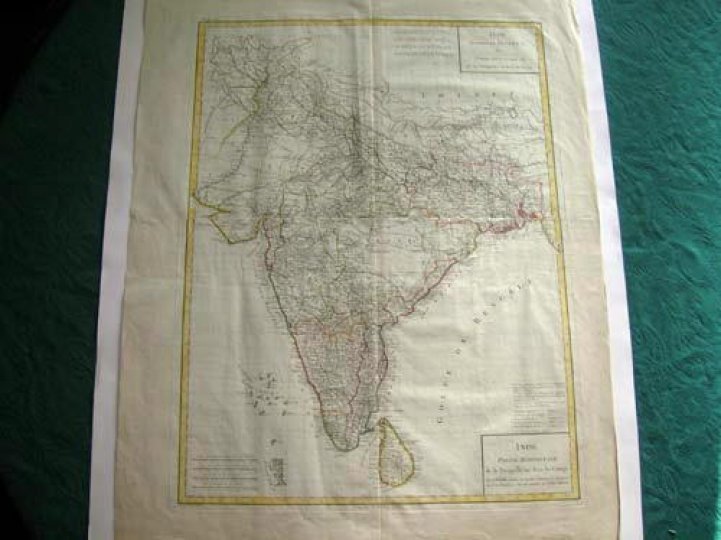
17957578et partie septentrionale de la presqu'ile en deça du Gange - Inde, Partie Méridionale de la presqu'ile en deçà du Gange.Gravée sur cuivre par Tardieu 1795. Encadrement et limites coloriés.Carte sur support cartonné. Envoyée sans le support pour des raisons techniques. Très bon état. Format in-plano (57x43).
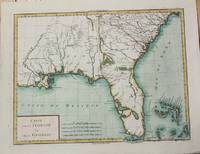
1799M5632Paris c. 1799. Very Good. Notes: The map depicts Florida during its time under Spanish control. Numerous Indian villages are located and roads are shown connecting early settlements. There are no engraved political divisions indicating the mapmaker's bias toward either the territorial claims of Spain or the United States. The map provides an excellent view of the Gulf Coast with a dramatically over-sized Tampa Bay. Numerous Indian villages are located and roads are shown connecting early settlements. The Bahamas are also well delineated.<br> Size : 335x440 mm 13.125x17.25 Inches Coloring: Hand Colored Category: Maps United States South Florida; Maps United States South States; unknown
1785M10371Paris c.1785. Excellent wide margins. Notes: A fine early plan of Warsaw is based upon the 4-sheet plan of Warsaw by Pierre Ricaud de Tirregaille entitled Plan de la ville de Varsovie first published in 1762 and Antonio Rizzi-Zannoni's single sheet version of the map published in 1772.<br>Pierre Ricaud de Tirregaille a French Architect and Engineer worked in Warsaw as a surveyor and as an army engineer. Crown Marchal Bielinski commissioned Tirregaille to prepare a detailed plan of the city of Warsaw which resulted in the first map of Warsaw based upon a scientific survey.<br>Rizzi-Zannoni's plan published in 1772 of which we have an example coincided with the efforts of Polish Nobles to enlist the assistance of French "democracy" experts in Paris including Rosseau and Malby to help restructure the Polish "Republic" on the eve of the first partition.<br> Size : 345x455 mm 13.58x17.91 Inches Coloring: Hand Colored Category: Maps City Maps; Maps Europe Poland Lithuania; unknown
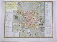
1792M4250Paris 1792. A tear on the right margin beyond the plate mark has been repaired upper margin shaved closely otherwise very good. Notes: A detailed and decorative city plan of Madrid and vicinity with a list of major edifices in two panels on the left and right hand sides. Size : 330x435 mm 13x17.125 Inches Coloring: Hand Colored Category: Maps City Maps; Maps Europe Spain unknown
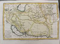
1797M10803Paris 1797. Very Good. Size : 195x288 mm 7.68x11.34 Inches Coloring: Hand Colored Category: Maps Asia Middle East Iran Iraq; unknown
1797M10801Paris 1797. Very Good. Notes: Important early map of present day southern Iraq. Size : 132x208 mm 5.20x8.19 Inches Coloring: Hand Colored Category: Maps Asia Middle East Iran Iraq; unknown
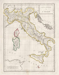
17985441798. Copper-line engraving with later hand-colouring. 450mm by 350mm platemark. French copper-line engraved map of Italy and Sicily with later outline hand-colouring. Published in Paris 1798.<br /> Central horizontal fold as issued. A couple of small stains.Scarce map from Mentelle & Chanlaire's Atlas Universel. etc. The engraving detail is very well executed in the style of other Tardieu maps. unknown
1797M10802Paris 1797. Very Good. Notes: Map of Northern side of the Persian gulf Iran. Size : 98x176 mm 3.86x6.93 Inches Coloring: Hand Colored Category: Maps Asia Middle East Iran Iraq; unknown
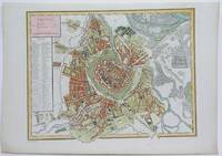
1792M4116Paris 1792. Excellent. Notes: A detailed and decorative city plan of Vienna and vicinity with a list of major edifices on the left hand side. Size : 345x440 mm 13.625x17.25 Inches Coloring: Hand Colored Category: Maps City Maps; Maps Europe Austria unknown
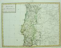
1750M6691Paris c. 1750. Very Good;. Notes: Engraved by Pierre Francois Tardieu. Size : 346x462 mm 13.62x18.19 Inches Coloring: Original Hand Coloring Category: Maps Europe Portugal; unknown
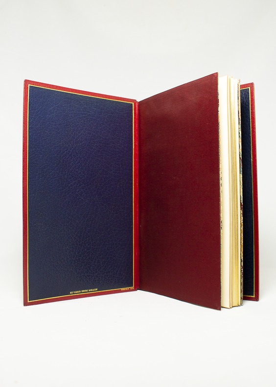
175116344Londres [Paris], Nourse, 1751. Album in-8, maroquin rouge janséniste, doublure de maroquin bleu, gardes de moire rouge indien, tranches dorées. De la bibliothèque Henri Beraldi (I, 1934, n°223) avec l’ex-libris au bas du premier contreplat; ex-libris R. Zierer, et Jean-François Chaponnière. Reliure signée Noulhac, 1918.
1793173071793 12 volumes, reliure demi-velin havane in-quarto (binding half calfskin in-4) (21 x 26,7 cm), reliure d'époque, dos long (spine without raised band) décoré or (gilt decoration) filets et roulettes or (gilt line and fillets) - fers spéciaux or "aux vases laurés" (specials blocking stamps) - titre frappé or (gilt title) - pièce de titre sur fond rouge (label of title) avec filets et roulettes or (label of title with gilt lines and fillets) et pièce de tomaison sur fond vert foncé avec filet or (label of volume numbering with gilt line and fillets), mors fendu sur 1/2 cm en bas du tome 1 et 10 et en haut du tome 12, coiffe supérieure du tome 8 fendue mais sans manque, papier peigné marron aux plats, tranches lisses (edges smoothes), traces d'humidité en marge avec un peu d'acidité mais sans atteinte au texte aux tomes 9-10-11-12, orné de 275 planches, parfois dépliantes, montrant des plantes, des animaux, des outils et appareils, des installations...etc....SOIT : au Tome 1 : d'un frontispice "Buste de l'Abbé rozier" gravé sur bois en noir par Tardieu + 23 planches hors-texte (20 planches + 2 Tableaux + 1 carte) + Tome 2 : 28 planches (27 planches + planche 4 bis) + Tome 3 : 20 planches + Tome 4 : 11 planches + tome 5 : 30 planches (29 planches + planche 2 bis) + Tome 6 : 24 planches + Tome 7 : 22 planches + Tome 8 : 40 planches + Tome 9 : 18 planches + Tome 10 : 30 planches (29 planches + planche 27 bis) + Tome 11 : 15 Planches + 3 grands Tableaux dépliants in-fine + Tome 11 : 10 planches + un Grand Tableau dépliant, Tome 1 : XVI + 631 pages + Tome 2 : 611 pages + Tome 3 : 610 pages + Tome 4 : 623 pages + Tome 5 : 646 pages + Tome 6 : 676 pages + Tome 7 : 680 pages + Tome 8 : 632 pages + Tome 9 : 608 pages + Tome 10 499 pages + SUPPLEMENT Tome 11 : 492 + LVI + SUPPLEMENT Tome 12 : 663 pages, 1793-1805 Paris Les Libraires Associés Editeurs,
1794LBW002c2[1794]. 216 x 308 mm.