41 résultats
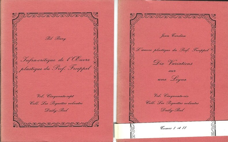
171931550Belgique, Editions Daily-Bul / Collection " Les Poquettes Volantes " n° 56 et 57 de 1976. Deux volumes in-12 agrafés non paginé de 32 pages au format 13,5 x 10,5 cm. Couverture avec titre imprimé. Plats et intérieur frais. Complet de la bande prévue pour réunir les 2 livres. Le volume, écrit par Jean Tardieu s'intitule : L'oeuvre plastique du Prof. Froeppel. Dix variations sur une ligne. Le tome 2, écrit par Pol Bury s'intitule : Infracritique de l'oeuvre plastique du Prof. Froeppel. Tirage unique à 1000 exemplaires numérotés sur papier d'édition. Etat proche du neuf. Rare édition originale, complète en 2 tomes.
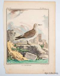
1780321871780. Print from "Histoire Naturelle générale et particulière" by Georges-Louis Leclerc and Comte de Buffon. Illustrator Left: De Seve del. - Jacques de Sève a principal illustrator for Buffon who was famous for placing animals in stylized often dramatic landscapes like the castle seen here. Engraver Right: M. R. veuve Tardieu Sculp. - Marie-Anne Tardieu née Roussellet the widow of the noted engraver Pierre-François Tardieu. Plate XXXI from Volume VII. Paper Size 250mm x 180mm and Plate size 185mm x 145mm. Hand-coloured copper engraving. unknown
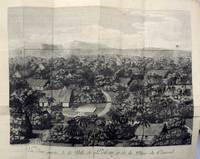
179355627copper engraving. View from Relation des îles Pelew situées dans la partie occidentale de l'Océan Pacifique. Reference: Cox lll 302-303; Brunet lll p. 647. Le Jay Fils and Maradan in Paris.
179355628copper engraving. View from Relation des îles Pelew situées dans la partie occidentale de l'Océan Pacifique. Reference: Cox lll 302-303; Brunet lll p. 647. Le Jay Fils and Maradan in Paris.
179355624copper engraving. View from Relation des îles Pelew situées dans la partie occidentale de l'Océan Pacifique. Reference: Cox lll 302-303; Brunet lll p. 647. Le Jay Fils and Maradan in Paris.
1788756Published in Peter Pallas' "Voyage à travers l'Empire Russe" 1788. 7-1/2" x 101/4"- 19 x 26 cm. . Copper engraved map. Light crease lower right corner & lower margin ragged not visible when matted else very good. Peter Simon Pallas was a zoologist who at the invitation of Catherine II went to teach at the Academy of Sciences in St. Petersburg. While in Russia he travelled to Siberia to collect natural history specimens. The map shows the fortress at Sol-Iletsk along with waterways and salt flats. Published in Peter Pallas' "Voyage à travers l'Empire Russe",
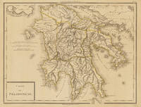
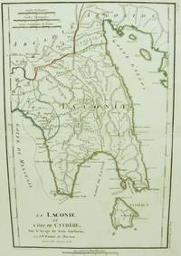
179734633Paris um 1797. In excellent condition. 34.5 x 435 cm 13.5 x 1725 inches. Original antique copper engraving colored in outline when published. Antique map of the Peloponnes in Greece hand colored in outline. Many place names rivers and mountains are shown. Title cartouche in the lower left corner mile sclae in the left sided middle. Pierre Antoine Tardieu also known as P.F. Tardieu March 9 1784 in Paris July 17 1869 in Paris was a French engraver steel engraver and cartographer.Pierre Antoine Tardieu was born in his family's ancestral home on Place de Estrapade. He was taught his craft by his father Antoine François Tardieu. He was the first of his family to carry out his maps in steel engraving. The extraordinary quality of his work even drew the attention of Alexander von Humboldt.In 1818 he married Eugénie-Isabelle de Bonnaire.1 In the years 1832 to 1834 he was involved in several arms dealerships as a volunteer in the reintroduced Garde Nationale. During this time he also became an elementary school inspector.He also took part in the industrial exhibition in 1834 where he received the bronze medal from Louis-Philippe I for his work. In 1837 he was finally appointed Knight of the Legion of Honour. He worked in his father's workshop for a total of 25 years before becoming self-employed. However he continued to live in the house where he was born until his death. In 1861 he retired at the age of 77. In excellent condition. unknown
1794LBW-1159[1794]. 260 x 153 mm.
1790LBW-8552Paris, chez l'auteur, [circa 1790]. 348 x 243 mm.
170920913Paris Pierre Emery 1709 -in-4 plein-veau 1 volume, reliure plein veau brun moucheté in-quarto (binding full calfskin in-4) (26 x 20 cm), RELIURE D'EPOQUE, dos à nerfs (spine with raised bands) décoré "or" et à froid (gilt and blind stamping decoration), titre frappé "or", pièce de Titre sur fond bordeaux avec filet "or" , filet perlé "or" et roulette "or" en encadrement, roulette "or" en place des nerfs avec un filet à froid de part et d'autre (avec importants manques de dorure), entre-nerfs à fleuron central "or"au fer évidé (between the raised bands floweret with hollowed out blocking stamp) dans un encadrement d'un filet "or" et un filet perlé "or" avec rinceaux "or" aux angles, roulette "or" en pied, coiffes manquantes, coins émoussés, roulettes "or" sur les coupes avec manque de dorure (blurred gilding), toutes tranches lisses jaspées rouges, orné d'une vignette "marque de l'Editeur" en bas de la page de titre aux armes royales + 2 bandeaux Historiés gravé sur bois en noir + une Grande Carte dépliante hors-texte : "Carte du Voïage des Israëlites dans le desert depuis leur sortie de l'Egipte jusqu'au passage du Jourdain", gravée sur bois en noir par LIEBAUX Géographe + 2 gravures tête de Chapitre historiée gravée sur bois en noir par F. Duflos +2 lettrines Historiées gravée sur bois en noir + 2 plans gravés in-texte en noir (page 372) + un cul-de-lampe historié gravé sur bois en noir, mors haut et bas du 1er et 4ème plats fendus sur 3 cm, [ XXXII + (2 p. de privilège) + 387 + 17 p. de tables + LXXII + 389 + 19 p. de tables ] Pages, 1709 à Paris chez Pierre Emery Editeur,
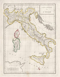
17985441798. Copper-line engraving with later hand-colouring. 450mm by 350mm platemark. French copper-line engraved map of Italy and Sicily with later outline hand-colouring. Published in Paris 1798.<br /> Central horizontal fold as issued. A couple of small stains.Scarce map from Mentelle & Chanlaire's Atlas Universel. etc. The engraving detail is very well executed in the style of other Tardieu maps. unknown
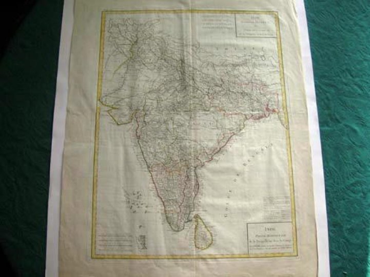
17957578et partie septentrionale de la presqu'ile en deça du Gange - Inde, Partie Méridionale de la presqu'ile en deçà du Gange.Gravée sur cuivre par Tardieu 1795. Encadrement et limites coloriés.Carte sur support cartonné. Envoyée sans le support pour des raisons techniques. Très bon état. Format in-plano (57x43).
179324813France 1793. Very good condition. Handsome copper engraved portrait bust of the great French Pacific explorer whose last known stop on his circumnavigational voyage was at Botany Bay the newly founded colony of New South Wales. After he departed Botany Bay and explored the coast of Australia he went on to New Caledonia the expedition vanished. <br /> <br /> La Perouse 1741 - 1788 was commissioned in 1785 to head a scientific expedition the Pacific for fur and whaling resources and to claim new territory in Australia for the French crown. He explored widely from Chile and Hawaii to Alaska and California where he was the first foreign visitor since its founding in 1769 making a detailed description of the country.<br /> <br /> Showing the head and shoulders of la Perouse in braid-trimmed naval coat within an oval frame. Printed below the image "Grave d'apres une Miniature par Alex.r Tardieu 1793". <br /> 9 1/4 x 11 1/2". Wide margins with 2 of the impression lines visible on thick gauge paper. Trove 9635425. unknown
1752261801752. S.l. s.ÂŽ. s.d. 1752. Dimensions : 562 x 367 mm. Eau-forte signÂŽ dans la plaque Charles Le Brun et Nicolas-Henri Tardieu. Lequel fut ''un des plus beaux graveurs du XVIIIÂme siÂcle. Il grava plusieurs planches pour le Cabinet Crozat et La Galerie de Versailles''. in BÂŽnÂŽzit. La peinture originale figure dans le Galerie des glaces du ch‰teau de Versailles. BÂŽnÂŽzit X Dictionnaire des peintres p. 77. Deux dÂŽchirures en marge. Manque marginal sans atteinte ˆ la composition. Quelques rousseurs marginales. Du reste belle condition. b42961 unknown
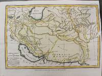
1797M10803Paris 1797. Very Good. Size : 195x288 mm 7.68x11.34 Inches Coloring: Hand Colored Category: Maps Asia Middle East Iran Iraq; unknown
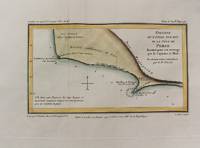
1797M10802Paris 1797. Very Good. Notes: Map of Northern side of the Persian gulf Iran. Size : 98x176 mm 3.86x6.93 Inches Coloring: Hand Colored Category: Maps Asia Middle East Iran Iraq; unknown
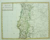
1750M6691Paris c. 1750. Very Good;. Notes: Engraved by Pierre Francois Tardieu. Size : 346x462 mm 13.62x18.19 Inches Coloring: Original Hand Coloring Category: Maps Europe Portugal; unknown
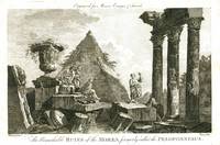
17781612London: Alexander Hogg 1778. Etching with engraving on lightweight wove paper 7 1/2 x 11 1/4 inches 190 x 285 mm; sheet 8 3/4 x 13 1/4 inches 222 x 336 mm unevenly trimmed wide margins. Condition is consistent with age including some light toning handling wear and some scattered light spots of discoloration. An image from Moore's Voyages & Travels. Alexander Hogg unknown
1786M6642Paris 1786. Very Good;. Size : 326x215 mm 12.83x8.46 Inches Coloring: Original Outline Coloring Category: Maps Europe Greece Macedonia; unknown
17569332Paris, Desaint & Saillant; Durand, 1756. In-8 de VIII-184 pages, pleine basane brune, dos à nerfs orné de filets et fleurons dorés, pièce de titre bordeaux. Sans coiffes, coupes et coins frottés.
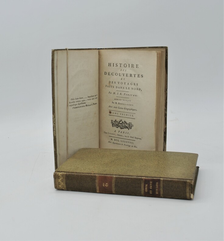
1788PHO-753Paris, Cuchet, 1788. 2 volumes in-8 de xv, 399 pp. ; xii, 410, (2) pp. Cartonnage jaspé, p. de titre et de tom. (reliure de l'époque). Illustré de 3 grandes cartes dépliantes.
1797M10801Paris 1797. Very Good. Notes: Important early map of present day southern Iraq. Size : 132x208 mm 5.20x8.19 Inches Coloring: Hand Colored Category: Maps Asia Middle East Iran Iraq; unknown
1783M2768Paris: Le Clerc Nicolas Gabriel 1783. Excellent. Size : 238x480 mm 9.375x18.875 Inches Coloring: Hand Colored Category: ; Maps Europe Ukraine Le Clerc, Nicolas Gabriel unknown
1794LBW002c2[1794]. 216 x 308 mm.