Rudyard KiplingLivre Rare Book

5 365 résultats
LRB505La belle édition 0 Paris , La belle édition , sans date , In8 - Pleine toile imitation peau de saurien - couverture conservée - 263 pages - Exemplaire numéroté sur Vélin de Lana - Bien complet des belles Illustrations de Marin Marie dont certaines a double page . Marin Marie , (Marin Marie Paul Emmanuel Durand Couppel de Saint-Front 1901/1987 ) fut a la fois peintre et ingénieur maritime ; Il était passionné par la mer et c'est lui qui fit ajouter une cheminée factice au Paquebot Normandie .
LRB505La belle édition 0 Paris , La belle édition , sans date , In8 - Pleine toile imitation peau de saurien - couverture conservée - 263 pages - Exemplaire numéroté sur Vélin de Lana - Bien complet des belles Illustrations de Marin Marie dont certaines a double page . Marin Marie , (Marin Marie Paul Emmanuel Durand Couppel de Saint-Front 1901/1987 ) fut a la fois peintre et ingénieur maritime ; Il était passionné par la mer et c'est lui qui fit ajouter une cheminée factice au Paquebot Normandie .
in-8°, 316 pages, broche, couverture illustree plastifiee. Bon etat. [HI-5][HI-9]
in-12, 349 pages, dessin in-t., broche, couverture illustree plast. à rabats. Tres bel exemplaire. [HI-3]
1985feb15937Albatros 1985. Used. 1985; Romanian Edition of Capul lui Decebal; For more details please contact me Albatros unknown
19666121966 - cartonné - Editions R. Sicard, Paris - Deuxième édition - 1966 - In-4 (27,5 x 21,5 cm), reliure cartonnée sous jaquette illustrée de l'éditeur - 141 pages - Nombreuses illustrations et photographies - René L.A. Catala, Aquarium de Nouméa, Nouvelle-Calédonie - Avant-propos de Jean ROSTAND - Préface de Louis FAGE - Possible dédicace de l'auteur en page de garde
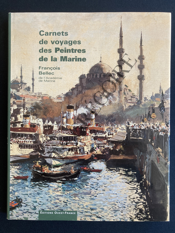
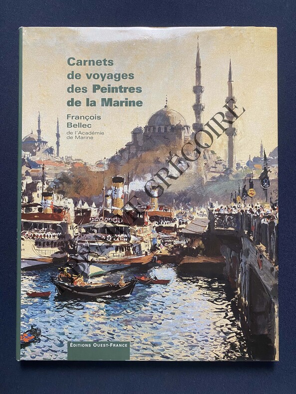
2002ABE-1602760807363140 PAGES-24,5 CM X 31 CM-DES PEINTRES AU LONG COURS-BLEU MARINE ET OUTREMER-LA TENTATION ORIENTALE-AUX QUATRE VENTS DE LA PEUNTURE ET DE LA MER-BOURLINGUER-JAQUETTE AVEC ILLUSTRATION D'ALBERT BRENET (500I)
2002ABE-1773868486390140 PAGES-24 CM X 31 CM-JAQUETTE-(E326)
2017100067894Walt Disney Home Entertainment 2017 14x17x2cm. 2017. Blu-ray.
20192-620003642XEditorial Académica Española 2019. Paperback. New. 52 pages. Spanish language. 8.66x5.91x0.12 inches. Editorial Académica Española paperback
6138982924.Gpaperback. Good. Access codes and supplements are not guaranteed with used items. May be an ex-library book. paperback
6206916820.Gpaperback. Good. Access codes and supplements are not guaranteed with used items. May be an ex-library book. paperback
ria9789999314886_inpPaperback. New. New Book; Fast Shipping from UK; Not signed; Not First Edition; N/A paperback
9999314880.Gpaperback. Good. Access codes and supplements are not guaranteed with used items. May be an ex-library book. paperback
55-1549Mexico 1984. Mexican movie poster. 94 cm. x 69 cm. Folded with signs of use mainly on the edges. Se trata de un cartel de mostrar real de la película. Se doble con signos de uso principalmente en los bordes. Mexico, 1984. unknown
9589343015.Ghardcover. Good. Access codes and supplements are not guaranteed with used items. May be an ex-library book. hardcover
220318-25First edition a limited printing of 3000 copies. Clean square spine no writing or marks no folded page corners. Dust jacket has no rips or creases. Outer slipcase in excellent condition with no writing or marks. Not a remainder. I/m Editores hardcover
feb48468Used. For more details please contact me unknown
1940feb37691<p>Cartea Romaneasca 1940. Used. 1940; Romanian Edition of Carte De Bucate; For more details please contact me</p> Cartea Romaneasca
G9735024144I4N00Editura Humanitas. Paperback. Very Good. May have limited writing in cover pages. Pages are unmarked. ~ ThriftBooks: Read More Spend Less.Dust jacket quality is not guaranteed. Editura Humanitas paperback
17251802070043Paris: Guillaume DeLisle Quai de l'Horloge 1725. First Edition. Map. Very Good. Original hand colored map. Crease at center fold of map. 62 x 47.5 cm. Scale: 1300000. Engraved by Marin. <br> "The second largest Caribbean island known to the Spanish as Hispaniola or Espanola and to the French as Saint Domingue was first explored by Christopher Columbus in 1492 and became the center of Spanish rule in the 16th century. While the Spanish settlements were concentrated on the eastern two thirds of the island buccaneers occupied the western third during the 17th century. Consequently in 1697 Spain ceded the western third to France. Although the French name is applied to the entire island on this 1725 map by the noted French geographer Guillaume Delisle the Spanish presence on the eastern part of the island is acknowledged with the designation "Quartiers des Espagnols" while the French area is labeled "Quartiers du Nord " and "Quartiers du Sud." Delisle's rendition of the island is based on a 1722 map prepared by the French engineer Amedee Frezier." <br> "DeLisle is important as the first "scientific" cartographer who incorporated the most current information on exploration and topography into his maps. . Lloyd Brown states that DeLisle "undertook a complete reform of a system of geography that had been in force since the second century and by the time he was twenty five he had very nearly accomplished his purpose." - David Rumsey Historical Map Collection. <br> Refs: Tooley Mapping of America 59. Paris: Guillaume DeLisle, Quai de l'Horloge unknown
18828Paris 1842. . Lithographed map with hand-coloured details scale 1:200.000 size 77x51 cm foling back to 19x20 cm. Very good. - Rare early geological map of the southern provinces of Brazil.Taken from Vol. 10 of the Mémoires de l'Académie des Sciences. - gkt.ds.R12 [Paris 1842.] unknown
feb101676Used. For more details please contact me unknown
CCC-888116. edition france-empire, la date n'a pas ete imprime!, avec sa jaquette ( legerement frottee), non coupe, tres bon etat, 315 pages, illustré de photos noir/blanc, Photos possible