Notz, Johannes (1802–1862):Livre Rare Book

358 résultats
1793AGGouache auf Karton. Bildgrösse: 35,5 x 27 cm.
1793AGo.J. Gouache auf Karton. Bildgrösse: 35,5 x 27 cm. + Wichtig: Für unsere Kunden in der EU erfolgt der Versand alle 14 Tage verzollt ab Deutschland / Postbank-Konto in Deutschland vorhanden +, A
192024379pornic 1920 une trés belle gravure gouachée au pochoir d'un peintre non identifié, signée d'un monogramme JS ou TS, représentant le château de Pornic, dans les années 1920, Dimensions: 12,5 x 16 cm.
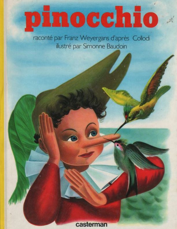
1954163821954 Illustrations de Simonne BAUDOIN. Sans lieu, Casterman, 1954, petit in-4 broché, couverture cartonnée, illustrée en couleurs de Pinocchio avec deux colibris, 30 pages. Joint une gouache originale reprenant la page 6.
195418465Belgique Casterman 1954 1 Illustrations de Simone BAUDOIN. Sans lieu, Casterman, 1954, petit in-4 broché, couverture cartonnée, illustrée en couleurs de Pinocchio avec deux colibris, 30 pages.
In-8 (cm. 26.70), tela editoriale, sovracoperta editoriale illustrata, pp. 176, con illustrazioni in bianco e nero ed a colori nel testo. Texte en français. Tracce d’uso alla sovracoperta, peraltro volume in buono stato (good copy).
181516624Paris, Delaunay (Imprimerie de Fain), s.d. (1815 ?) ; in-16, bradel de patchwork de peaux de différents animaux et de différentes couleurs, titre en long, non rogné (reliure moderne) ; (2), 125, (1) pp., 25 planches gravées dont 24 gouaches d’époque.
51433Gouache début XXème de Philippe Serex. (1871-1935).Ecole suisse de peinture.H: 35 cm.L: 27.Non signée.Sans encadrement.
1978R240068628LA PENSEE UNIVERSELLE. 1978. In-12. Broché. Etat d'usage, Couv. légèrement passée, Dos satisfaisant, Intérieur acceptable. 155 pages - coins frottés - quelques traces de stylo bleu en marges à l'intérieur de l'ouvrage sans conséquence sur la lecture - trace de stylo sur le 2ème plat.. . . . Classification Dewey : 133.8-Phénomènes parapsychiques
200958279ABMünchen, Galerie Karl Pfefferle, 2009. 8° (22x17), [64] S., mit 40 WerkAbb. (Gouache auf antiken Kupferstich-Porträts), ill OPbd, nahezu ungelesen, schönes gepflegtes Exemplar,
Snt. .
Livre grand format, cartonnage illustre de l'editeur. NEUF SOUS CELLO. [HP-1] Crayon, fusain, pastel, gouache, aquarelle, acrylique, huile
16733Paris, L'autre musée, 1983, petit in-4 relié, couv. ill. cartonnée, 80 p., nombreuses reproductions légendées des oeuvres de Bellmer, présentation et biographie par Jean Revol. Excellent état.
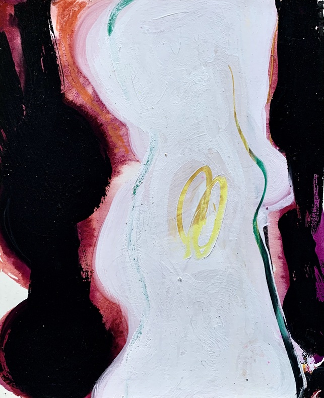
awd-730Gouache originale sur bristol crème dans les tons noirs et blancs. Datée 1963, titrée et signée au dos avec numéro d’inventaire (24,5/20 cm). Bon état.
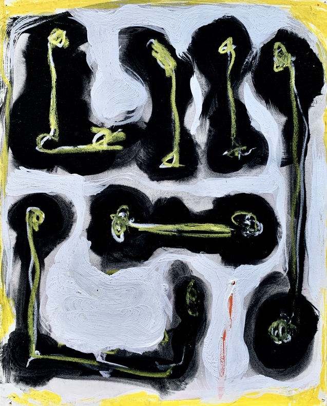
awd-729Gouache originale sur bristol crème dans les tons jaunes et noirs. Datée 1963, titrée et signée au dos avec numéro d’inventaire (24,5/20 cm). Bon état.
awd-728Gouache originale sur bristol crème dans les tons bleus. Datée 1963, titrée et signée au dos avec numéro d’inventaire (24,5/20 cm). Bon état.
38009901Korea late 18th-early 19th century 1780-1810. Eight color gouache pastel tinted maps ca. 57.5 x 90.1 cm.contemporary re-backing very solid clean examples complete set of all provinces hand-painted gouache manuscripts. RARE & OBSCURE . . . . A RARE & COMPLETE SET OF ANTIQUARIAN MANUSCRIPT KOREAN . . . YI PERIOD PROVINCIAL MAPS . . "P'ALTO CHIDO" OR "EIGHT PROVINCES MAPS" . . . DELUXE ELEPHANT FOLIO SIZE SHEETS . . . HAND-COLORED GOUACHE PASTELS . This is a very RARE & COMPLETE set of eight Korean provincial manuscript maps. Drawn circa 1780-1810 by an unsigned Korean cartographer. These maps are of historical importance giving place names isolating the time frame. . Painted on very thin finely hand-made mulberry-fiber tissue paper contemporary re-backed with a stiff hand-made paper. Beautifully hand-painted & colored in gouache pastels. . The record shows several reliable verities of manuscript maps showing the eight ancient Korean provinces. . Commonly these maps had no title cartographer's name date or other critical bibliographic colophon data. This is a common theme with Korean manuscript maps. . Political divisions of Korea are by and large mostly stable making name comparisons easier. . PROBABLE MAP TITLES INCLUDE: . a. The "SINJUNG-TONGGUK-YOJI-SUNGNAM:" "EIGHT SEPARATE MAPS EACH SHOWING ONE COMPLETE PROVINCE OF THE EIGHT KOREAN PROVINCES similar in intention to the "P'ALTO CHIDO." . The eight provinces were established during the Chosen dynasty 1392-1910 alternately and commonly called the Yi dynasty. . The eight provinces are from the north to south: . 1. Hamgyong 2. P'yong'an 3. P'yongyang 4. Kangwon 5. Hwanghae 6. Kanghwa 7. Kyongsang 8. Cholla'ungch'ong . During the Sejo reign 1455-68 Yang Songji made the first "P'Alt-do "P'ALTO CHIDO" type maps of the eight provinces this type and style became the "standard" for future examples. There after his style and format were copied by others for centuries. . b. A second version and style of the above eight provinces maps is called "TONGGUK CHIDO: MAP OF THE EASTERN COUNTRY i.e. KOREA" showing a compressed northern frontier along Manchuria the characteristic "CHONG CH'OK" style. . c. A third similar map: "P'ALDO-CHONGDO: A SINGLE MAP SHOWING THE EIGHT PROVINCES OF KOREA." . These maps are pictorially beautiful and artistically drawn in detail. Graphics expressing a primitive naive folk charm depicts prominent geological landscape features. Mountain ranges hills forests in green streams/rivers blues political district seats distinctively painted cartouches box-like in various differing colors for each province. Roads paddy coastal shore line & islands in blue tints with other features nicely colored. . There are a large number of name throughout each map all written in Hanzi traditional Chinese characters called "Hanja" in Korean as was the common practice at that time for Koreans. There are no Hangul characters at all. The Hanja identify navigational directions names of surrounding ocean harbors beaches geographical names city towns villages mountains rivers roads and the like. . Each of the eight maps illustrates a complete single province. Within each of the various political divisions and boundaries outlined and named. . RARITY OF KOREAN ANTIQUITIES: Antiquarian Korean examples are sparse when compared to items of the same period in China and Japan. Korean works are less than 10% of those created elsewhere. . Fewer Korean items were made survived and preserved. The attrition rate: bad weather unstable ancient mud building structures fires natural disasters earthquakes war and other factors diminished the remaining examples. . Those the numbers that come to marked are steadily reduced while the value continues to appreciate. Many never return to market when acquired by institutions or private collectors who eventually donate to museums. . DATING THESE MAPS: These were mostly undated. . There are three possible methods of dating. . a. BY PLACE NAME: there are details in the reference books about county seat names being colored or put in various kinds of 'boxes' on the map depending on that according to the resources approximate dates can be derived. . b. PAPER TECHNOLOGY & FIBERS: Koreans have been using hand-made mulberry bark and fiber paper from the Zhenguan period AD 627-649 printing Buddhist sutras by woodblocks on similar kinds of paper. . These two technologies papermaking and woodblock printing was transmitted to Japan around 700 AD. . Since that time both Koreans & Japanese have utilized mulberry paper Washi in Japanese to woodblock print and paint a large variety of items including maps books and single page works. . By comparing the paper of these maps with known dated printed Japanese books a very close approximate date can be derived. . These Korean map papers are nearly identical to dated woodblock-printed Japanese examples we have. It is therefore highly possible these maps were painted on hand-made mulberry paper from circa 1780-1810 period. . In ancient times sheet size was limited to a small size then joined to other sheets to create a large size single sheet. These maps are of that format. See McCune below where he states the kind of paper used which matches our examples. . CONDITION: Per McCune we summarize: as usual these maps were folded several times from their creation time so they could be safely stored and carried in small 'book' format in covers with a tied string. See McCune below. . Being painted on very fine & thin hand-made mulberry paper most all examples were eventually re-backed. Ours as typical have period re-backing using the same character hand-made mulberry fiber paper of a thicker quality. . They are well preserved however nevertheless as usual there remains some old original wear at the folds the expected light water stains dustiness with other typical very minor flaws for an item of this grand size being 200 years old. These do not detract from the overall excellent impression and stunning appeal. . RARITY: . The complete set is RARE! The work is nicely executed in a firm hand with artistic value illustrating artistically hills mountains and other features of the map pictorially. It is not only a map but a work of art. Tastefully colored in subtle pastels nice representation of water rives and sea. . Such early and beautifully artistic examples seldom come to market. . A RARE AND FRESH EXAMPLE NEVER BEEN ON THE MARKET IN THE LAST 120 YEARS ! . PROVENANCE: These items were acquired from a former missionary's estate who was stationed in Korea from circa 1900-1930's. They have been in this private collection since and have never been on the market. . Color scans are posted to our website. . REFERENCES: . TOOLEY Ronald V. et al.: Article: Shannon McCune: SOME KOREAN MAPS pp.70-102 with illustrations. McCUNE Shannon.: KOREAN MAPS OF THE YI DYNASTY KOREAN CULTURE Korean Consulate General L.A. Ca. Sept. 1983 pp.21-31 34 back cover color plate color & b.w. illustrated. . He discusses "P'ALTO CHIDO""EIGHT PROVINCES MAP" origins maps without scale and were copies of a Korean scholar named Won his title was: Haksaeng works based on Chong Ch'ok's 1390-1475 TONGGUK CHIDO MAP OF THE EASTERN COUNTRY then modified by Won to be the more typical "P'ALTO CHIDO" "EIGHT PROVINCES MAP" but in his new style. This new style clearly resembles our maps in layout format color of county seats and similar boxes around them and other critical details. KOREAN CONSUL GENERAL KOREAN CULTURE September 1983 pp.21-31 34 color map on back cover color and b.w. illustrated. . It was from these maps that the later versions similar to ours eventually emerged mostly by Imperial Order by the ".Yi Dynasty court specifically decreed that both magistrates and governors should prepare up-to-date maps of their territories udder their supervision." p.25. HARLEY J.B. ed. et al.: CARTOGRAPHY IN THE TRADITIONAL EAST AND SOUTHEAST ASIAN SOCIETIES. Ahead of Title: THE HISTORY OF CARTOGRAPHY Vol. 2 Book 2 an excellent article by Gari Ledyard: CARTOGRAPHY IN KOREA pp. 235-345239 figures 10.23 10.24 et al. NAKAMURA Hiroshi.: EAST ASIA IN OLD MAPS. . --. NIHON KO CHIZU TAISEI: GREAT COLLECTION OF OLD JAPANESE MAPS MONUMENTA CARTOGRAPHICA JAPONICA . --. OLD CHINESE WORLD MAPS PRESERVED BY THE KOREANS. Article in IMAGO MUNDI IV 1958. LEE Chan. CH'AN Yi.: OLD MAPS OF KOREA. Han'guk ko chido. By: Ch'an Yi Hong-gyu Che Han'guk Tosogwanhak Yon'guhoe. He discusses and illustrates a good number of similar examples. On pp.226-27 he outlines an early Yi Dynasty example of: THE MAP OF EIGHT provinces found in TONGGUK YOJI SUNGNAM Chong Sang-gi's Tongguk Chido. These manuscripts were on large paper one province per sheet. Many other fine related examples are illustrated & discussed. . --. OLD MAPS OF KOREA: HISTORICAL SKETCH. He traces the early origins of Early Yi dynasty1392-1910 Eight Provinces Map origins and progressions excellent lucid article with illustrations and references to Yi HOE's MAP OF EIGHT PROVINCES. Excellent essay on provincial maps. SHIN Michael D. ed.: KOREAN HISTORY IN MAPS: From Prehistory to the Twenty-First Century. British Museum similar examples cited: commons-wikimedia-org/wiki/Category:Room_67_British_Museum# /media/File:Map_of_the_Jeolla_Province_British_Library_c.27. f.14_fol.12_n02.jpg Library of Congress: Young Il Kim: dong-kookyu-do: A RECENTLY DISCOVERED MANUSCRIPT OF A MAP OF KOREA. Imago Mundi vol.21 1967 pp.31-49 illustrated. . . unknown
1974261173Essen, Galerie Heimeshoff, 1974. Nicht paginierte Seiten. Mit zahlreichen farbigen Abbildungen. Originalbroschur. 28 cm
199447159ABWien, Graphische Sammlung Albertina, 1994. 4° (30x23), 58, [225] S., mit 255 ganzseitigen farb WerkAbb., sowie dokumentarischen Abb. im Textteil, semiflex ill OPbd, nahezu ungelesen, schönes gepflegtes Exemplar,
60623BBo.J. [3 Warenabbildungen] (Petra Petitpierre, geborene Frieda Kessinger, geboren am 13. Mai 1905 in Zürich, gestorben am 23. Dezember 1959 in Murt
60622BBo.J. [3 Warenabbildungen] (Petra Petitpierre, geborene Frieda Kessinger, geboren am 13. Mai 1905 in Zürich, gestorben am 23. Dezember 1959 in Murt
15375DBo.J. (Andrzej Cisowski, geboren am 1. März 1962 in Bialystok, gestorben am 27. Juli oder 28. Juli 2020 in Targowo. Polnischer Maler, Grafiker und multimedialer Künstler. Studium an der Akademie der Bildenden Künste Warschau, Akademia Sztuk Pieknych, bei Rajmund Ziemski, ab 1987 absolvierte er die Warschauer Kunstakademie, danach Studium an der Kunstakademie Düsseldorf bei Konrad Klapheck und A. R. Penck, ab 1990 Meisterschüler von Penck). [3 Warenabbildungen]
14642DBo.J. [3 Warenabbildungen] Manfred Rademacher, geboren 1952 in Leichlingen. Studium 1972-1975 Fachhochschule Köln bei Professor Karl Marx.
60215BBo.J. [3 Warenabbildungen] Manfred Rademacher, geboren 1952 in Leichlingen. Studium 1972-1975 Fachhochschule Köln bei Professor Karl Marx.
60184BBo.J. [3 Warenabbildungen] Manfred Rademacher, geboren 1952 in Leichlingen. Studium 1972-1975 Fachhochschule Köln bei Professor Karl Marx.