NAPOLEON ,JOMARD,MONGELivre Rare Book
4 376 résultats
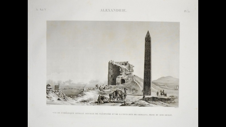
1820PHO-372TEXTE Paris, Panckoucke, 1820-1829. 24 tomes en 26 vol. de texte , in-8 Manquent : T 1-6-10-14-18 (3ème part) et 19 Un des monuments de l'Imprimerie Française et de l'archéologie mondiale, réalisé sous la direction de Vivant Denon et l'impulsion de Kléber après la Campagne d'Égypte. Broché. ATLAS Paris, Panckoucke, 1820-1829. 11 volumes IN PLANO, demi-basane havane ép., dos lisses ornés. Reliures usées, frottés. Qqs rousseurs par endroits. Ces 11 volumes d'atlas renferment au total 848 planches réparties : ANTIQUITÉS: 5 Volumes ,tome I, 91 planches; tome II, 85 planches ; tome III, 55 planches ; tome IV, 62 planches ; tome V, 82 planches + 16 planches pour la pierre de Rosette (2 par feuille) + 2 planches non numérotées. ÉTAT MODERNE : 2 volumes , 96 planches en numérotation continue + 31 planches + 11 planches (A-K) + 13 planches (AA-NN, pas de planche JJ) + 10 planches (a-k, pas de planche j). GÉOGRAPHIE : 1 volume : tableau d'assemblage, alphabet puis 47 planches (cartes sur double page) HISTOIRE NATURELLE : 3 volumes : tome I, 62 planches ,tome II, 105 planches ,tome II bis, tableau général des planches (volant en format plus petit) + 62 planches + 15 planches.
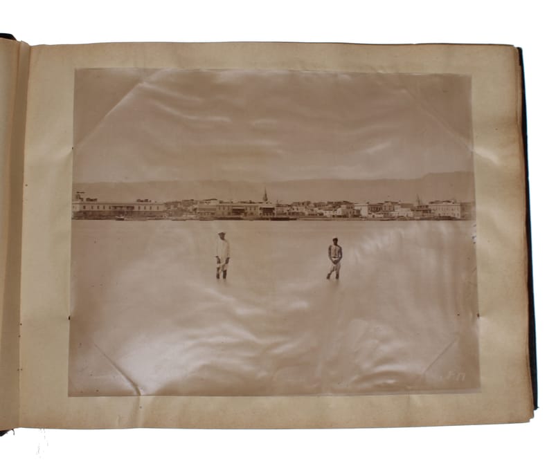
1872602831870-1872. Folio-oblong (395 x 320 mm). Original brown half calf, recased - the original cloth (with gilt lettering to the front) has been expertly mounted on to the new boards, and most of the original gilt leather spine has been preserved over a perfectly matching new lovely brown half calf. ""Tordenskjold / 1870 - 1873"" in gilt lettering, partly worn of, to front board. End-papers renewed. 71 albumen print in various sizes and by various photographers (see below) mounted on 59 contemporary white cardboard leaves (measuring 370 x 310 mm), all re-hinged. The album was water-damaged at some point, but has been expertly and neatly restored and appears in overall very good condition with good tones. 1, Oval photo of Tordenskjold (205 x 60mm) 2, Photo of Tordenskjold (190 x 143 mm) 3, Crew aboard Tordenskjold (200 x 14 mm) 4, Crew aboard Tordenskjold (157 x 128 mm) 5, Crew and equipment aboard Tordenskjold (228 x 176 mm) 6, Naval officers about Tordenskjold (167 x 130 mm). 7, 8 small photos of various places on one plate (274 x 190 mm) 8, The harbor of Port Said. By Hippolyte Arnoux (247 x 190mm) 9, Muddigging machines in the channel of Port Said. By Hippolyte Arnoux. (245 x 190mm) 10, Port Said. By Hippolyte Arnoux. 11, Malta (262 x 207 mm) 12, Two photos of Malta (each measuring 134 x 120 mm) 13, Two photos of Gibraltar (Each measuring 148 x 114) 14, Deep Water Bay, Hong Kong (194 x 130 mm). 15, Two photos depicting telegraph-house and ships in Deep Water Bay (each measuring 150 x 112) 16, Boat with people. By Felice Beato, coloured (294 x 235 mm) 17, House next to river. By John Thomson, December 1870 (278 x 225 mm) 17, Seamen’s hospital in Hong Kong. (261 x 190 mm) 18, Hong Kong. (270 x 195 mm) 19, Hong Kong, by Floyd (270 x 192 mm) 20, Hong Kong, by Floyd (240 x 190 mm) 21, Two photos of sites in Hong Kong (each measuring 165 x 127 mm) 22, Five Sikhs in Hong Kong (215 x 244 mm) 23, Group of women in Hong Kong, (326 x 215 mm) 24, Two photos of Hong Kong harbour, one photo depicting “Cella” (182 x 105" 130 x 98 mm) 25, Villa at Canton. (264 x 190 mm) 26, Pagode in Xuexiu Park, Guangdong. By William Pryor Floyd. (195 x 246 mm) 27, Boats in Canton. William Pryor Floyd,(270 x 223 mm) 28, Pou-Ting-Qua’s Garden, Canton. By John Thomson. (289 x 230 mm) 29, Fields in Canton. (205 x 155 mm) 30, Houses in Canton. (267 x 210 mm) 31, Canton harbor. By John Thomson. (245 x 202 mm) 32, Boat on the Canton river. (274 x 204 mm) 33, Wall around Canton. (260 x 200 mm). 34, Boats in Canton (293 x 225) 35, Telegraphstation in Woosung. (150 x 110 mm) 36, Boats in Foochow. (287 x 232 mm) 37, Temple in Foochow. By John Thomson (190 x 237 mm) 38, Pagode in Foochow. Presumably by John Thomson. (287 x 220 mm). 39, Tomb of Fou Tcheou. By John Thomson. (290 x 225 mm). 40, Temple in Shanghai. (237 x 188 mm). 41, Shanghai. (232 x 176 mm) 42, Chaochow bridge, Kwangtung. By John Thomson. (266 x 204 mm). 43. Panorama of Nagasaki consisting of two photos. (371 x142 mm) 44, Two photos of Nagasaki. Felice Beato. (Each measuring 169 x 119 mm). 45, Two photos from Nagasaki. Presumably by Felice Beato. (Each measuring 165 x 118 mm) 46, Two photos from Nagasaki. Presumably by Felice Beato. (Each measuring 165 x 118 mm) 47, Temple in Nagasaki. Presumably by Felice Beato. (169 x 118 mm). 48, Photo of Japanese woman in kimono. By Felice Beato. (205 x 255 mm). 49, Two photos of officers in house in Yokohama. (162 x 125 mm). 50, The Abbot and Monks of Kushan Monastery. By John Thomson. (287 x 204 mm). 51, Wooden structure, presumably Nagasaki. Presumably by Felice Beato. (270 x 208 mm) 52, Pagode, presumably Nagasaki. Presumably by Felice Beato. (234 x 185 mm) 53, Cityscape with lake, presumably Nagasaki. Presumably by Felice Beato.. (280 x 228 mm). 54, Two photos, cemetery and stairs to temple. By Felice Beato. (Each measuring 168 x 118 mm). 55, People standing outside house, presumably Hong Kong. By John Thomson. (185 x 155 mm) 56, Guangzhou Great Norh Gate, Canton. By John Thomson (245 x 156 mm). 57, Two photos, one of the building of a telegraph station (presumably in Wladivostok) and a view of Wladivostok from the sea (154 x 123 130 x 99 mm). 58, Seascape of two ships. (130 x 140 mm). 59, Ship laying for anchor. (170 x 123 mm)
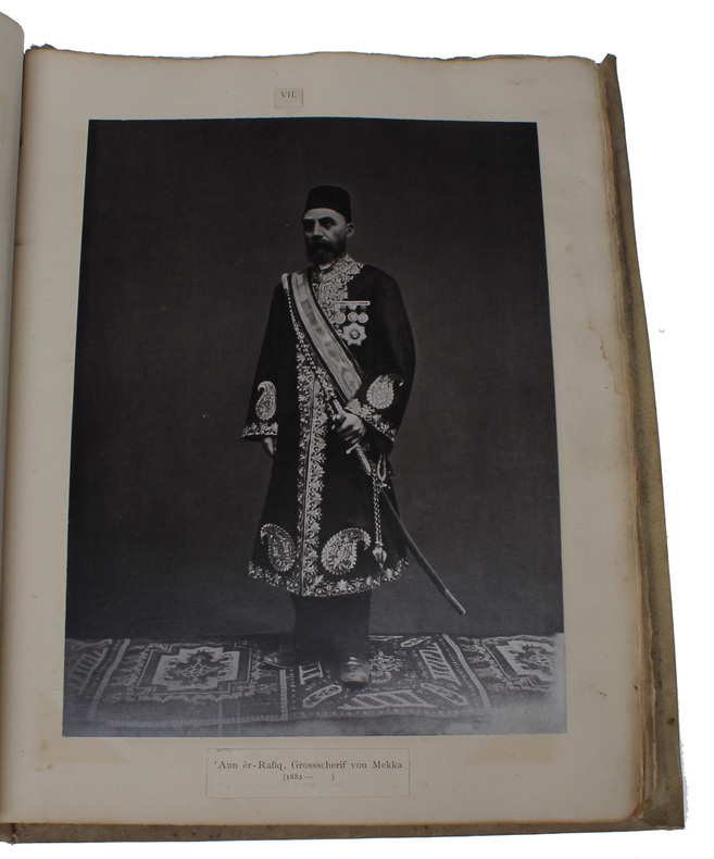
188859963Haag, Nijhoff, 1888-1889. Text-volumes in lex-8vo, two volumes, identically bound in near contemporary burgundy half cloth with the original printed front wrappers preserved an pasted on to front boards. the original printed paper spine labels have also been preserved an pasted on to spines. Wear to capitals, corners, and hinges. Blindstamped library imprint to top of front boards (Colonial Office Library). Bound with both half-titles. The half-title of vol. 1 mounted, as is the title-page of vol. 2. Stamps to title-pages (Arab Boreau Cairo and Colonial office Library). Otherwise a clean and fine copy with no noteworthy flaws. XXIII, (1), 228, (2) pp. + 3 genealogical tables and 2 folded maps + XVIII, 397, (1) pp. The atlas volume consists of the printed table of contents and all 65 photographs and lithographs inserted into a 19th century full vellum photograph album with sturdy leaves. The album itself has some wear, but is sturdy, robust and crarming. It artistically shows the craftmanship of the stiching by displaying parts of the sewing cords on leather onlays on the spine. Leather ties. In all, there are 75 illustrations, consisting in four chromolithographic plates, 6 tones lithographic plates (one double-page and folded) and 65 original photographs of varying sizes. Some are full-page, some are mounted four to a page, and some that have originally been four (and in one case three) to a page have here been individually mounted on a leaf each. Although taken out and mounted in to the present album, all numberings (I to XL) have been preserved, as have the titles of the pictures. Generally in very good condition, although one lithograph has a closed tear.
18667682Extrêmement rare ouvrage d'exploration au Nil. L'ouvrage comporte 27 planches lithographiées en couleurs, 1 carte sur double page, et un titre également lithographié. Bel exemplaire, dans sa reliure d'origine. 7 copies recenssées au World Cat. Petites salissures au plat inférieur de la reliure; Faibles rousseurs en marges des estampes. Pleine toile noire d'éditeur; titre doré en long au dos et sur le plat supérieur. Étiquette d'un libraire de St Petersburg. Bon Darmstadt & Leipzig Eduar Zernin 1866 1 volume oblong 25,5 x 33 cm.
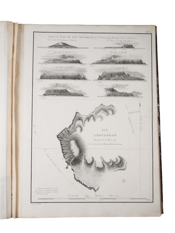
180754627Paris, 1807 (atlas) - 1808 (text). 2 large 4to + 1 folio. All three volumes bound in contemporary half calf with gilding to spines - text volumes uniform. TEXT: Volume 1 with a split front hinge, but block still tight. A patch of paper missing from back board. Both volumes with some edge wear and bumped corners. Old paper labels to inside of front boards, and a stamp to half-titles and title-pages. A bit of brownspotting, but mostly marginal. Overall, most text-leaves are clean and bright. The plates in vol. 1 have some, mostly marginal, brownspotting. Both volumes with wide margins. Some of the text is printed on blue-ish paper. (4), LVI, 704 pp. & 32 folded engraved plates + (4), VIII, 691 pp. & 1 folded plate. Many tables with astronomical observations. In all 33 folded plates. ATLAS: Wear to extremities and bumped corners. Inner front hinge re-enforced. Top right blank corner of title-page repaired, far from affecting text. A stamp to title-page. A bit of brownspotting, mostly marginal. The last ab. 10 maps with a damp stain in the middle. The reast are very nice and bright. 4 (title-page + contents-leaf) pp. & 39 maps and charts, 29 of which are double-page. Fully complete with all 33 folded plates in the text-volumes and all 39 maps and charts in the atlas-volume. A contemporary handwritten note to the title-page of the atlas stating that THE COPY WAS GIVEN TO ADMIRAL VAN DOCKUM AT THE ORDER OF NAPOLEON I. (""à Mr. le Conte-Admiral Joost Van Dockum,/ par ordre de Sm l'Empereur Napoléon 1e."")
189889785Ernest Leroux Augustin Challamel | Paris 1898-1919 | 22.3 x 28.5 cm pour les 10 volumes de texte & 22,8 x 33,3 cm pour l'atlas | 11 volumes de texte reliés + 1 atlas relié + 1 carte dans une chemise-étui
183089604s. d. [1830] | 19 x 24.6 cm | Relié
188060316Egypt, ca. 1870ies. Folio-oblong (365 x 280 mm). 146 albumen prints mounted verso and recto on 73 ff. Bound in contemporary half cloth. With traces of paper-label to inner margin of front board. Label of the stationery shop ""Maison Martinet, Albert Hautecoeur, bd des Capucines, 12, Paris"" pasted on to upper outer corner of pasted down front end-paper. Paper creased and some leaves symetrically perforated, not affecting photos. Two photos with tears and a few photos partly detached from paper. Some photos are slightly discoloured and toned but are in general in good condition.
180960270Paris, Dentu, 1809. 8vo & Folio. Four text-volumes and one atlas-volume. Text-volumes uniformly bound (by Harry Larsen) uncut with contemporary blue blank wrappers in recent half calf with gilt lettering to spines. A stamp to title-page in all volumes. With repaired worm-tracts throughout, primarily affecting margins, but with occassional loss of text, otherwise internally clean. LX, 389 (4), 562 + three folding tables (4), 479" (4), 380 pp.Atlas-volume in contemporary half calf with gilt lettering to spine. Worm-tract to inner margin and light margin brownpostting. 25 numbered plates: An engraved portrait of the author, 5 detailed folded maps, 7 plates depicting animals, 8 city plans and views, including a double page plan and view of Buenos Aires, and four bird plates. A complete set.
18866348127 vol. in-8 cartonnage pleine percaline vert, nom de la "Fondation Thiers" au dos en queue, Ministère de l'Instruction Publique et des Beaux-Arts, Comité des Travaux historiques et scientifiques, Ernest Leroux éditeur, puis Imprimerie Nationale, Année 1886, 382 pp. et 11 planches hors texte (dont cartes ethnographiques en couleurs de la Tunisie), parfois dépliantes ; 1887, 350 pp. et 11 planches hors texte, parfois dépliantes (dont nombreuses illustrant les "Principes de la Fortification antique depuis les temps préhistoriques jusqu'au Croisades", par le Lieutenant-Colonel G. de La Noë) ; 1888, 448 pp. 9 planches hors texte, parfois dépliantes (dont Oppidum du Mont-Beuvray par Bulliot, Densité de la Population dans le SE de la France, en couleurs, par Victor Turquan, Péninsule Malaise en couleurs, etc.) ; 1889, 334 pp. et 9 planches hors texte, souvent dépliantes (dont Embouchure la Loire, Saint-Nazaire, Kairouan, Fortifications romaines, etc...) ; 1890, 487 pp. et 6 planches hors texte, parfois dépliantes (dont Carte de l'Ile Formose au XVIIIe siècle, Carte de la Province de Touraine en 1766 par Chauvigné, Carte en couleurs du Tonkin, avec "Pays Montagneux inexploré occupé par les Pirates", "Carte du Pays des Mans-Tiens" par le Lieutenant Massy, Itinéraire de Catat et Maistre à Madagascar, etc...) ; 1891, 526 pp. et 12 planches hors texte, parfois dépliantes (dont "Le Darvaz et le Karatéguine", Carte des connaissances géographiques des Portugais en Indonésie vers 1519, Carte en couleurs du Véron (Touraine) avant 1789 par Chauvigné, Cartes anthropologiques en couleurs de la Khoumirie, etc...) ; 1892, 441 pp. et 7 planches hors texte, parfois dépliantes (dont Carte du Territoire de Hami, Extraite du K'in-ting Sin-Kiang tche-lio (Livre III), Carte de la Région du Thé d'après les itinéraires de la Mission Pavie, etc...) ; 1893, 449 pp. et 14 planches hors texte, parfois dépliantes (dont Nho-Quanphanphudo Région de Hoa-Lu dressée par G. Dumoutier, etc.) ; 1894, 464 pp. et 6 planches hors texte, parfois dépliantes (dont Detailed hydrographic and topographic Chart of the Itasca State Park by Browser, Itinéraires en Mongolie orientale par Bretschneider, Carte de la Brenne avant 1789 par Chauvigné, Copie d'une carte manuscrite de la Guiane dresée par les Jésuites en 1741 communiquée par M. Buache en 1787, Esquisse inédite de la Guyane par M. Buache, etc.) ; 1895, 499 pp. et 12 planches hors texte, parfois dépliantes (dont Itinéraire de Fes à Oudjda suive an 1891 par H. de La Martinière, Carte chinoise du Si-Yu ou Asie Centrale pour accompagner le Mémoire intitulé Récit officiel de la Conquête du Turkestan par les Chinois 1758-1760, Carte de Pho-Hien, Plan de la Forêt d'Arties au XVe siècle, etc...) ; 1896, 415 pp. et 25 planches hors texte, parfois dépliantes (dont fac-similé complet d'un Portulan annamite du XVe siècle par G. Dumoutier, en 24 cartes) ; 1897, 519-11 pp. et 8 planches hors texte, parfois dépliantes (dont Ile de Cayenne et ses environs d'après Bellin, Mappemonde Syriaque, Somal Harrar et Pays Gallas par Alfred Bardey, Carte du Territoire russe administré par la Chine, Itinéraire dans le Quang-Binh au Nord de Dong-Hoï, etc....) ; 1898, 420 pp. et 6 planches hors texte, parfois dépliantes (dont Carcasses flottantes de 1866 à 1893, Itinéraire dans le Quang-Binh au Nord de Dong-Hoï, Itinéraire dans le Quang-Tri, etc...) ; 1899, 505 pp. et 1 grande carte dépliante (El-Yemen et Partie de l'Hadramaut Arabie Méridionale dressés par Alfred Bardey...) ; 1900, 369 pp. et 2 planches dépliantes ; 1901, 423 pp. et planches dans le texte ; 1902, 423 pp. et planches dans le texte ; 1903, 539 pp. et 5 planches hors texte, dont une dépliante ; 1904, 491 pp. et 5 planches hors texte dont une dépliante ; 1905, 496 pp. et 6 planches hors texte, parfois dépliantes ou doubles (dont Schéma des Principales Migrations au Congo Français, etc...) ; 1906, 432 pp. et 3 planches hors texte (dont Distribution géographique des Races sur la Côte occidentale d'Afrique, de la Gambie à la Mellacorée) ; 1907, 497 pp. avec 1 planche dans le texte et 4 planches hors texte, parfois dépliantes ; 1908, 452 pp. avec 3 cartes sur une planche dépliante ; 1909, 420 pp. et 23 planches hors texte (dont reproduction d'un "Atlas inconnu de la dernière expédition de Drake, vues prises de son bord) ; 1910, 446 pp. et 3 planches hors texte ; 1911, 462 pp. avec 6 planches hors texte (dont mappemonde de Ripoll) ; 1912, 520 pp. avec 4 et 22 planches hors texte
182689870Jean-Jacques LEFÈVRE | Paris 1826-1831 | 13.3 x 22.3 cm | 21 volumes reliés
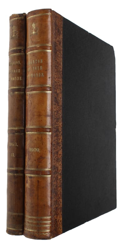
186053639Paris, L. Hachette et Cie, 1860-1914. 4to. Bound in 88 uniform contemporary half calf bindings with 5 raised bands (except for two volumes in half cloth). (Each year up to 1894 in 2 parts, 1895-1914 each year in one volume). Some top of spines with wear, some traces of use, otherwise a fine set. Profusely illustrated with large wood-cuts (full-page, half-page and smaller) and maps.
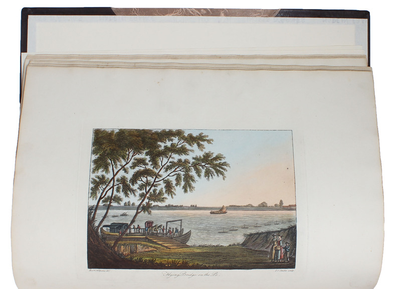
182251185London, Printed for John Hearne by J.F. Dove, 1822. Folio. (41 x 33 cm.). Fine later hmorocco, raised bands, gilt spine, titlelabels with gilt lettering. (4),36 pp. and 36 fine handcoloured aquatint-plates. Broad-margined. Very light browning to a few leaves. A few insignificant marginal brownspots. A fine copy.
183688741Charpentier | Paris 1836 | 13.2 x 21 cm | 4volumes reliés
188315515Noblet Paris 1883 1 vol. Grand in-4 oblong (27 x 36,5 cm) de 2 ff.n.ch. 8 pp., 25 feuillets non chiffrés sous serpentes. Pleine percaline rouge de l'époque, dos lisse avec titre doré, premier plat orné d'un décor doré, gardes moirées, tranches dorées (reliure éditeur).
187588763A.-L. Bancroft and C° (Imp. Eugène Heutte et Cie) Ernest Leroux | San Francisco (Saint-Germain-en-Laye) Paris 1875 | 27.5 x 36.3 cm | Relié
183788703J. Bernard | Strasbourg 1837 | 29 x 23.5 cm | Relié
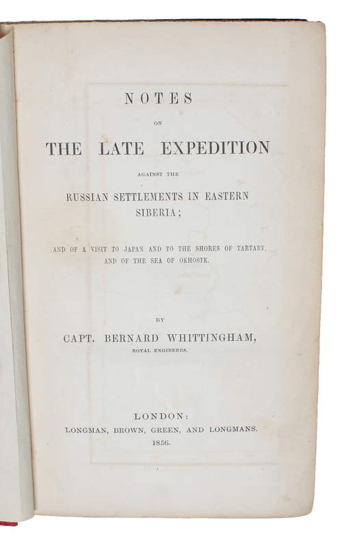
185656189London, Longman, Brown, Green, And Longman, 1856, 8vo. In the original full embossed red cloth, rebacked, preserving most of the original spine. Map with 10 cm long tear. Wear to extremities and 1 quire lose. Otherwise internally fine. (I)-XV, 300, (1)-4, 24 pp. + 1 folded map.
186582705s. d. [1865] | 30 x 19.30 cm | une photographie sous marie-louise
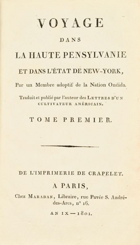
180141330Paris, Maradan, 1801. 3 vol. in-8 de XXXI-(1)-427 pp., 5 planches hors texte dont la carte de la partie septentrionale des États-Unis ; XIII-(1)-434 pp. 4 planches hors texte dont le plan de la cataracte du Niagara et la carte de la partie méridionale des États-Unis ; XII-409-(1) pp., 2 planches repliées hors texte et 4 tableaux, veau marbré, dos lisse orné, pièces de titre et de tomaison en maroquin rouge, filet et frise dorés d'encadrement sur les plats, tranches marbrées (reliure de l'époque).
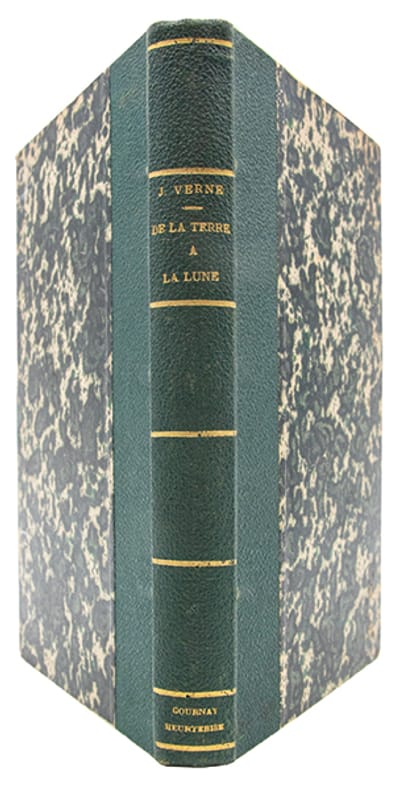
1882393111882 In-18 (177 x 113 mm), demi-percaline chagrinée vert bronze, dos lisse garni de filets dorés en place des nerfs, auteur et titre dorés, (4), 302, (1) f. derrata, 17 pages "Extrait du catalogue de la librairie J. Hetzel". Paris, Bibliothèque d'Education et de Récréation J. Hetzel et Cie, s.d. [1865].
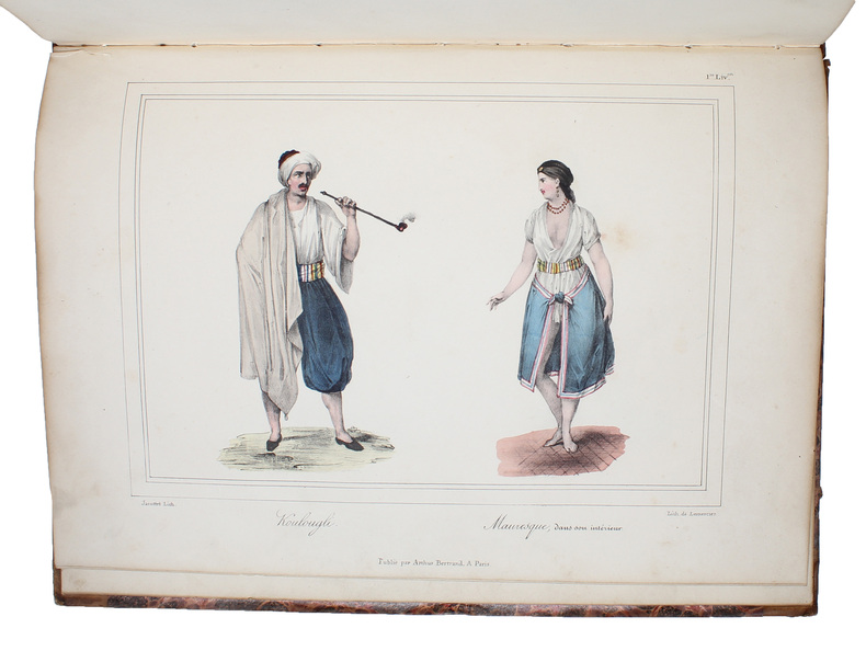
183339687Paris, Arthus Bertrand, 1833. 8vo and small folio. Bound in 4 near contemp. hcalf. Spines gilt. A paperlabel pasted on lower part of spine on vol. 1, a small tear to upper part of hinge to vol. 3. Spines slightly rubbed. Stamp on titlepages. XV,286(1),326"(1),459 pp. and Atlas, Titlepage,2 pp. of ""Explication des Planches"" , 1 folded engraved plate, 30 lithographed plates (of 8 are costume-plates in colour), and most of the other 28, are views. Two leaves in the first text-volume with a brownspot in margin" textvols. otherwise fine and clean, printed on good paper. Atlasvol.: titlepage and the 2 textleaves brownspotted. Some brownspots to the folded map. Plates with varying brownspots and light foxing, mostly marginal.
181143714A Paris, Chez Ferra aîné et Chez Derville, 1811. 2 tomes en 1 vol. in-12 de XII-200 pp. et (4)-175-(3) pp., demi-basane brune, dos lisse (reliure de l'époque).
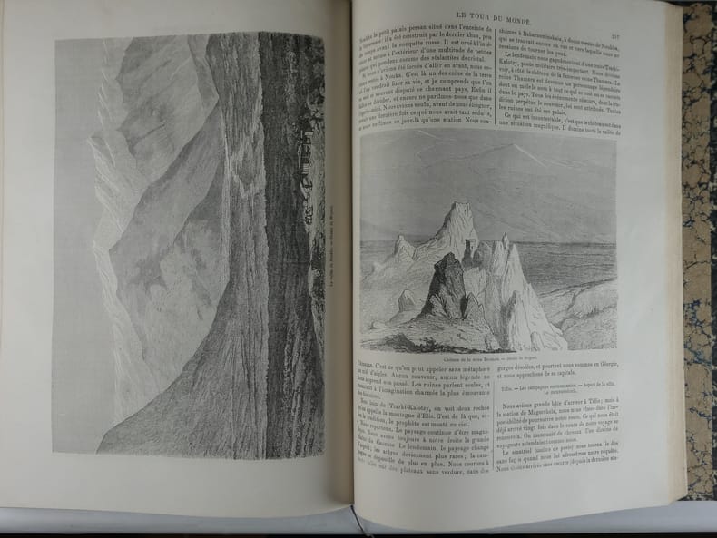
186837492Paris, Hachette & Cie., 1868, in-4, agréable demi-reliure de l'époque, dos long orné d'un fer "queue de poisson", filets et titre à l'or, plats de papier marbré, pagination continue. Hebdomadaire - publié de janvier 1860 jusqu'en juillet 1914 par Edouard Charton- relatant les grandes explorations ayant marqué la seconde moitié du 19e et le début du 20e siècle. Illustré de nombreuses gravures, puis de reproductions photographiques in- et hors-texte texte. Vendu en fascicules à travers le réseau des gares de chemins de fer, ceux-ci sont réunis et reliés tous les 6 mois pour une diffusion en librairie. Edition originale. Bel état de fraîcheur.
188053772Christiania (Oslo), Grøndahl & Søn, 1880-1901. Large 4to. Bound in 7 uniform contemp. hcalf. Spines gilt and with gilt lettering. Light wear to top of spines on a few volumes. Spines slightly rubbed. Stamp on title-page.The historical part with the 6 fine chromolithographed plates (Vestmanna Øer - Jan Mayen - Berenberg, Jan Mayen - Beeren-Eiland - Sydkap, Spitzbergen - Magdalene Bay, Spitzbergen) and maps. Throughout profusely illustrated with lithographed plates and maps. Text in parallel columns in Norwegian a. English. Issued in 28 parts dealing with different scientific subjects, each part paginated separately. A clean, well-preserved copy.