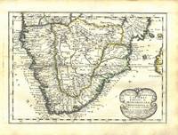
(East Africa) Hondius, JBiblio.com
65 résultats
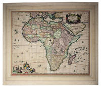
1638263796Amsterdam 1638. Copper engraved map colored in outline letterpress text on verso Abissinourm et Congi Regna Folios 352-353. 1 vols. Folio map 345 x 495 mm. Outline color. Small repairs to Nubia along old fold chiefly infill of blank areas. Very good. Copper engraved map colored in outline letterpress text on verso Abissinourm et Congi Regna Folios 352-353. 1 vols. Folio map 345 x 495 mm. Hand-colored map from the 1638 edition of the Mercator-Hondius Atlas. <br /> <br /> Includes frequent references to Amazons and locates "populi Antropophagi" just north of the Congo and Tritons and Sirens in Lake Victoria. Describes Nubia as "olim Christianam" and locates famous biblical queens of the time of Solomon along the banks of the Nile river. May locate the kingdom of Prester John on top of Amara Mons in the center of the map.<br /> <br /> A beautifully hand-colored map in excellent condition. Koeman I 8720:1A unknown
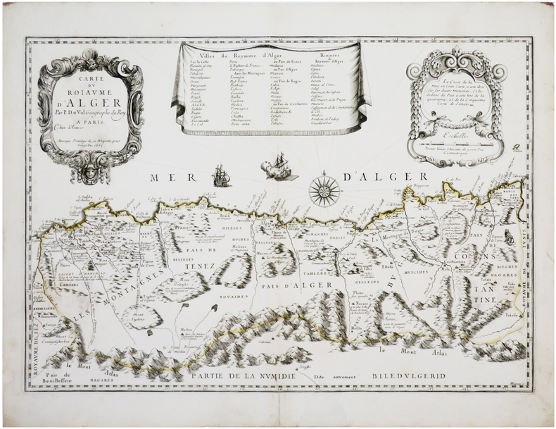
1667LBW-7829Paris, chez l'auteur, 1665 [1667. 365 x 526 mm + 1 feuillet de texte de 357 x 464 mm.
167579623Vesaliae: Andreaw ab Hoogenhuysen 1675. Gebunden. Andreaw ab Hoogenhuysen unknown
167544519Vesaliae: Andreaw ab Hoogenhuysen 1675. Gebunden. Andreaw ab Hoogenhuysen unknown
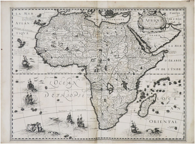
1632LBW-8688[Paris, Melchior Tavernier, 1632]. 376 x 497 mm.
169379592Salisburgi: Joannis Paptistae Mayr 1693. Joannis Paptistae Mayr unknown
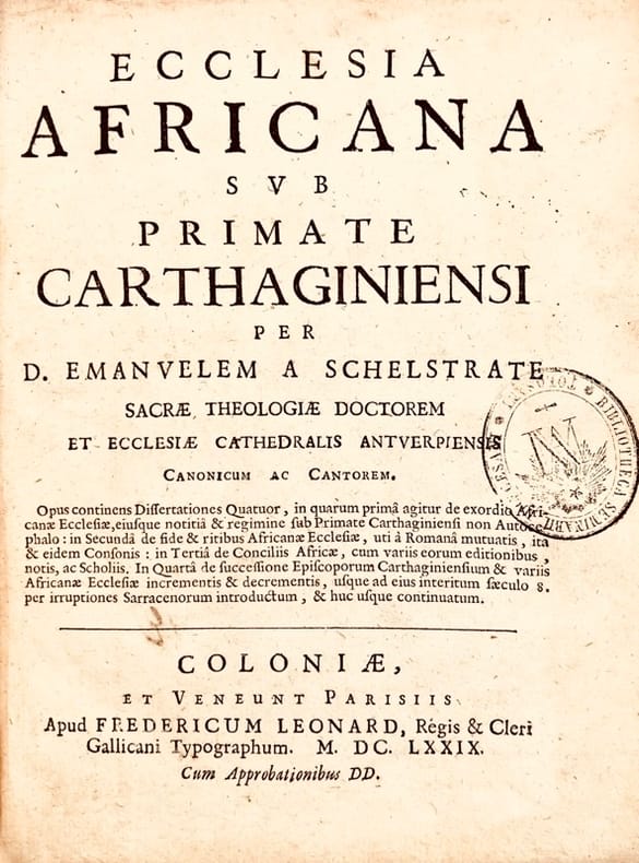
167943618Paris, Frédéric Léonard, 1679. In-4 de (40)-328-(10) pp., index, portrait hors texte, armoiries au titre de départ, veau brun, dos orné à nerfs (reliure de l'époque).
168661137Amsterdam: Wolfgang Waesberge Boom & van Someren 1686. First Thus. First French edition. Folio in fours 37cm. Contemporary mottled calf spine divided into seven compartments each tooled in gilt all edges sprinkled red; plain endpapers; vi53422pp; engraved title page 26 of 42 double-page line-engraved plates 55 in-text line engravings. Lacking 17 maps and plates including the large folding map of Africa. Bookseller's embossed stamp of F. R. Thorold Johannesburg to front free endpaper. Text complete collating 2o: π1 2 A-3Z4 4A2 signed $1-3 2K3 not signed. Generally tight with minor edgewear lower front joint starting to split very occasional spots of foxing but overall clean: a sound but obviously defective copy.<br /> <br /> The only French translation of this important 1668 text on Africa considered authoritative in its day despite the fact that its Dutch author never visited Africa instead relying on primary accounts of voyages. Extensively illustrated with depictions of people cities flora and fauna; this copy lacking almost all the maps but serviceable. Wolfgang, Waesberge, Boom & van Someren unknown
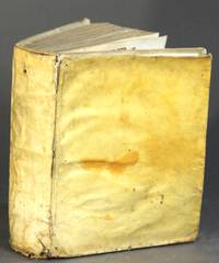
164421312Romae: Andree Phaei 1644. 4to pp. 18 93 1; engraved vignette title page 4 engraved plates 2 folding 1 double-p. 12 woodcuts in the text 1 hand-colored; bound with as issued: Romano De antiquis Romanorum ritibus Rome 1644 pp. 10 95-269 20; engraved vignette title page 10 engraved plates 2 folding 1 double-p. 2 double-p. and folding 18 woodcuts in the text; bound with: Romano De veteribus christianorum ritibus Rome 1645 engraved title page pp. 18 496 71; 6 engraved plates 1 double-p. 1 folding 1 folding and double-p. 8 woodcuts in the text; printer's woodcut device on the final leaf; bound in contemporary limp vellum front hinge broken the whole rubbed and worn internally very good. Graesse p. 59; Ibrahim-Hilmy p. 120. <br/><br/> Andree Phaei hardcover books
164421312Romae: Andree Phaei 1644. 4to pp. 18 93 1; engraved vignette title page 4 engraved plates 2 folding 1 double-p. 12 woodcuts in the text 1 hand-colored; bound with as issued: Romano De antiquis Romanorum ritibus Rome 1644 pp. 10 95-269 20; engraved vignette title page 10 engraved plates 2 folding 1 double-p. 2 double-p. and folding 18 woodcuts in the text; bound with: Romano De veteribus christianorum ritibus Rome 1645 engraved title page pp. 18 496 71; 6 engraved plates 1 double-p. 1 folding 1 folding and double-p. 8 woodcuts in the text; printer's woodcut device on the final leaf; bound in contemporary limp vellum front hinge broken the whole rubbed and worn internally very good. Graesse p. 59; Ibrahim-Hilmy p. 120. Andree Phaei unknown
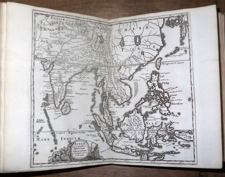
169711811697 Amsterdam [Amstelaedami], Jean Wolters [Joannem Wolters], 1697. 24 x 18 cm (R), in-4, 1 f. bl. - titre frontispice entièrement gravé - 11 ff. n. ch. (dont titre, dédicace, adresse au lecteur, epistolae, table et privilège) - 565 pp. - 31 ff. n. ch. d'index - 2 ff. bl. - 2 planches, 3 tableaux et 41 (sur 43) cartes gravées hors texte, dont 40 sont dépliantes ou à double page, reliure hollandaise de l'époque en plein vélin doré, plats estampés à froid de motifs des Pays Bas espagnols dans un double encadrement de filets avec fleurons d'angle, dos estampé de filets et fleurons, titre manuscrit à l'époque, traces de lacets. (sig. *3, **4, ***4, A-Z4, Aa-Zz4, Aaa-Zzz4, Aaaa-Kkkk4)
1680I24G435YONN5Amsterdam: Nicolas Visscher 1680. In passepartout 56 x 66 cm. Engraved double-page map image size: 43.5 x 54 cm; leaf size: 51 x 60 cm coloured by a contemporary hand. With title in a decorated cartouche on the top right flanked by two Africans and two putti and dedication to Gerardus Schaap in a decorated cartouche on the bottom left with Schaaps coat of arms on top and flanked by mythical figures. Further illustrated with small ships and African animals including lions monkeys rhinoceros and ostriches. Second state of Visscher's engraved map of Africa with the privilege added to the bottom right. It shows the whole continent of Africa the southern Mediterranean coast and a substantial part of the Arabian Peninsula. Primarily the coastline is accurately depicted with great detail to the South African coastline in particular - the interior of Africa was not accurately mapped until the 19th century. This map was based on Willem Blaeu's map of 1608 and used in atlases by the Visscher family up to 1696.With the centrefold strengthened at the back; paper browned and with a few small smudges but the colouring still bright.l Koeman Vis 86; V.d. Krogt & De Groot 35:04 first state; Norwich Africa 55. Nicolas Visscher, unknown
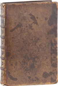
1674126157Paris, Louis Billaine 1674. * Mit 3 (statt 4) mehrfach gefalteten Kupferstich-Karten, 9 Kupferstich-Tafeln, 3 gestochenen Tabellen auf 3 Falttafeln und 1 blattgroßen Kupferstich-Karte im Text. 8 Blatt, 262 (recte 264); 35; 49; 23 Seiten; 1 Blatt (verbunden), 81 (recte 83) Seiten. 25,5 x 19 cm. Brauner Lederband der Zeit über fünf echten Bünden (stärker beschabt und fleckig, bestoßen, Rücken mit kleinen Fehlstellen) mit goldgeprägtem Rückenschild, reicher Rückenvergoldung und rotem Farbschnitt. [5 Warenabbildungen]
165676600Paris 1656. 4to. Samtidig mykt helpergamentbind. 100 s. 2 s. annonser. Med 18 dobbeltsidige grensekolorerte kart. 4to. Contemporary limp vellum. Unpaginated. 100 pp. In addition two pages of advertisements. 18 engraved double page maps. Boundaries coloured. Chez l’Autheur. Fransk. <br/><br/><em>Noen få sider med små rifter affiserer ikke teksten eller kartene. Noe gulnet i ytterkantene.A few pages with small tears not affecting text nor maps. Some browning to extremities. Nicolas Sanson d’Abbeville 1600-1667 “considered by many to be the founder of the French school of cartography†Tooley. </em> hardcover
1662bf4740Chez L'auteur Relié 1662 "MAGNIFIQUE ENSEMBLE DES QUATRE CONTINENTS CARTOGRAPHIÉS PAR LE PREMIER CARTOGRAPHE FRANÇAIS, DANS UN ÉTAT DE FRAICHEUR INCOMPARABLE. Quatre volumes petit in-4 (18,5 x 25 cm), reliés en plein veau brun de l'époque. Les reliures sont toutes identiques, dos à 5 nerfs, titrés, roulettes dorées sur les coupes. Nicolas Sanson d'Abbeville est considéré comme le fondateur de la cartographie en France. En 1627, rencontrant Richelieu (il venait d'Abbeville et s'était installé à Paris), il fut présenté par lui à Louis XIII, qui le nomma Géographe Ordinaire du Roi. Il cartographia quatre continents (ici présents : l'Europe, l'Asie, l'Afrique et l'Amérique), et fut même le premier à cartographier certaines parties du globe (ainsi, par exemple, la région des grands lacs canadiens, avec sa carte ""Le Canada ou Nouvelle France"" (carte datant de 1656)). Il fut le premier Français à concevoir le plan d'un atlas mondial. Les cartes et le texte de chaque volume sont entièrement montés sur onglets. Chaque carte reçoit un commentaire explicatif, avec informations sur l'économie, les habitants et les moeurs du pays décrit, tiré des auteurs anciens (Pline, Strabbon...), de récits de voyageurs ou de rapports des missions des jésuites. De plus, chacune des cartes présente les tracés de contours des pays ou régions aquarellés. Les volumes s'organisent comme suit : L'Europe (sans date) : Titre et dédicace gravés sur double page, 12 cartes doubles et 30 feuillets imprimés au recto. L'Asie (1662) : 108 pages (avec erreurs connues de chiffrage et inversion de feuillets) et 17 cartes doubles. L'Afrique (1662) : 96 pages et 17 planches doubles, proposant 18 cartes (car l'une des planches porte deux cartes) (ce volume est le seul à présenter une petite mouillure sur les quelques premières pages). L'Amérique (1662) : non paginé (80 pages) et 15 cartes doubles. Nos exemplaires sont en TRÈS BEL ÉTAT. Les pages sont très fraiches, sans aucune réelle trace, tache, piqûre ni mouillure. Les cartes, particulièrement, sont dans un vraiment très bel état de fraîcheur, avec des couleurs extrêmement éclatantes. Les reliures présentent des traces peu visibles de réparations anciennes. Les volumes ont étés reliés avec contre-gardes, mais sans pages de garde. Ce rare ensemble est véritablement en TRÈS BEL ÉTAT. Livraison a domicile (La Poste) ou en Mondial Relay sur simple demande."