Livre Rare Book
857 résultats
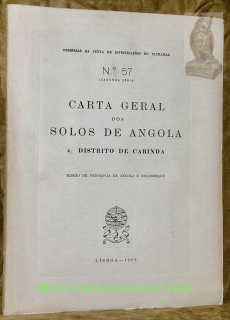
57541Lisboa, 1968, 260x195mm, 227páginas, livro brochado.
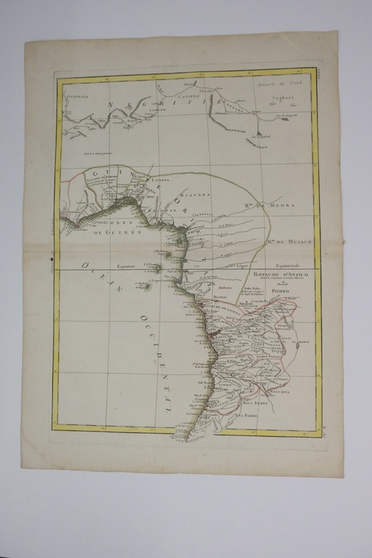
1770carte180b12Français : Un bel exemple de la carte décorative de l'Afrique de l'Ouest de Rigobert Bonne datant de 1770. Couvre de la Gold Coast (Ghana moderne), au sud autour du golfe du Bénin (Biafara) jusqu'au Gabon, au Congo et à l'Angola. Comprend les pays modernes du Ghana, du Togo, du Bénin, du Nigeria, du Cameroun, de la Guinée équatoriale, du Gabon, du Congo et de l'Angola. Comme la plupart des cartes de l’Afrique, cette carte montre d’excellents détails le long de la côte et uniquement des spéculations à l’intérieur. Donner la preuve d’importantes activités cartographiques belges à travers le Congo. Nomme de nombreux royaumes africains, dont Anzico, Mujaco, Bembe, Lubolo, Pemba, Dembi, Calbongo, Bake-Bake, Bénin et d'autres. Tentatives de cartographier le fleuve Niger quant à ses écoulements dans le désert de Seth ou Saghara, mais la plupart de cette cartographie est au mieux spéculative. Dessiné par R. Bonne en 1770 pour émission sous la planche no. B 30 dans le numéro de 1776 de Jean Lattre de l'Atlas Moderne English: A beautiful example of Rigobert Bonne's 1770 decorative map of West Africa. Covers from the Gold Coast (modern day Ghana), south around the Bight of Benin (Biafara) to Gabon, Congo and Angola. Includes the modern day countries of Ghana, Togo, Benin, Nigeria, Cameroon, Equatorial Guinea, Gabon, Congo and Angola. As with most maps of Africa, this map shows excellent detail along the coast and only speculation in the interior. Give evidence of significant Belgian mapping activities throughout the Congo. Names numerous African Kingdoms including Anzico, Mujaco, Bembe, Lubolo, Pemba, Dembi, Calbongo, Bake-Bake, Benin and others. Attempts to map the Niger River as to flows into the Desert de Seth or Saghara, but most of this cartography is speculative at best. Drawn by R. Bonne in 1770 for issue as plate no. B 30 in Jean Lattre's 1776 issue of the Atlas Moderne .
177127424Paris Lattré 1771 2 cartes anciennes colorées d'époque en vert , rouge et jaune, cartouche non coloré, gravée par Arrivet. Format total : 50 centimètres de haut par 39 centimètres de large, 1771 Paris Lattré Editeur,
Mappa dettagliata del 1760 circa del geografo francese Brion de la Tour che mostra la costa occidentale dell'Africa dal Gabon alla Namibia. La mappa contine numerosi dettagli e annotazioni riguardanti recenti esplorazioni. Autore: Brion de La Tour (1743-1803) Data: 1760 circa Tecnica: incisione su rame Dimensione foglio: 25,5x37 cm Dimensione dell'incisione: 25x36 cm Condizioni: buone. Piegatura verticale Very beautiful detailed map of 1760 circa by the French geographer Brion de la Tour featuring the west coast of Africa from the Gabon to Namibia. The map is filled with details and notations concerning recent explorations. Author: Brion de La Tour (1743-1803) Date: 1760 circa Technique: etching on copper Leaf Dimension: 25,5x37 cm (10x14.6 inches) Engraving Dimension: 25x36 cm (9.8x14.2 inches) Conditions: Very good conditions. Vertical foldings.
1954LFA00e87Carte Michelin 182 éditée en 1954 : 1 cm pour 30 km
Madrid, Instituto de Estudios Africanos, 1968. 4to. mayor; 18 pp., 1 h., con cinco graficos entre el texto. Cubiertas originales.
291pp., frontis., orig. wrappers, gilt, 2787 lots.
B9783036596020Hardback. New. hardcover
47124763-nnew. unknown
47124763like new. unknown
M12031P , Alsatia , 1946 , gr in8br , 286 pp , 32 planches hors texte , carte . Envoi. Langue: Français
50966P., Alsatia, 1946, grand in 8° relié pleine toile verte, dos lisse (insolé), couverture illustrée conservée, 287 pages ; nombreuses illustrations hors-texte ; cachets ; frottis d'usage.
3419Alsatia 1946
1996Alibris.0004090Port Moresby Papua New Guinea: Faculty of Law University of Papua New Guinea. 1996. Trade paperback. Fine. No dust jacket as issued. xvi 183 p.; 23 cm. . Includes index. Faculty of Law, University of Papua New Guinea paperback
180124798Weimar, im Verlage des Industrie Comptoirs, 1801. 48 x 43 cm.
180124794Weimar, im Verlage des Industrie Comptoirs, 1801. 55 x 44,5 cm.
Torino, 1855, 11 novembre, firma Vittorio Emanuele II, Cibrario con stemma reale xil. pp. 4
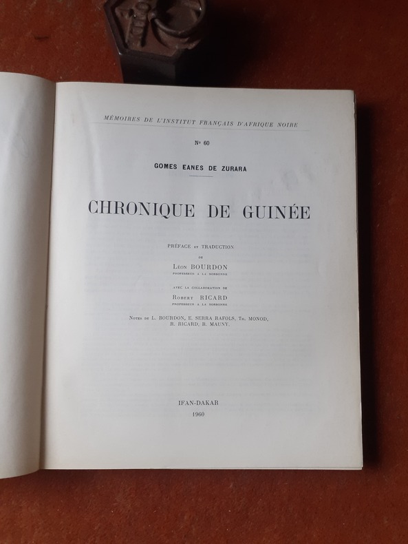
QWA-19703IFAN-Dakar, 1960, in-4 br. (22 x 27), 301 p., coll. "Mémoires de l'Institut Français d'Afrique Noire, N° 60", préface et traduction du portugais par Louis Bourdon, avec la collaboration de Robert Ricard, notes de L. Bourdon, E. Serra Rafols, Th. Monod, R. Ricard, R. Mauny, 2 cartes, nom manuscrit en page de garde, bon état.
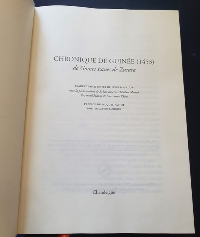
2011135CuParis Chandeigne 2011 In8 - cartonnage de l'éditeur - 588 pages
2011135CuParis Chandeigne 2011 In8 - cartonnage de l'éditeur - 588 pages
1371995Paris: Présence Africaine, 1973 in-8, 96 pages. Broché (non coupé). Poète guinéen.
1978015567Paris Ader Picard Tajan 1978 In-8 carré Broché, couverture illustrée
1947015999Paris - Drouot Etude Bellier 1947 plaquette in-8 Agrafé, couverture illustrée
1368988Paris: Museum d'Histoire Naturelle, 1976 in-4, 344 pages, 285 figures, index, bibliographie. Broché, bon état. Inventaire des collections Bassari au Musée de l'Homme à Paris, au département d'anthropologie de l'Université de Montréal, au musée de l'IFAN à Dakar, au C.R.D.S. à Saint-Louis (Sénégal).
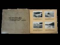
1936230101936. Neuendettelsau Mission publisher. Bilder aus der Neuguinea Mission late 1920s-mid 1930s documents German Protestant missionary activity and Indigenous life in New Guinea during the interwar period following the end of formal German colonial rule. Produced as a cigarette card album with printed German captions the work records village life subsistence practices missionary institutions and ceremonial activity situating Indigenous communities within a visual framework shaped by religious and colonial perspectives. The album supports research into Pacific history missionary networks and the role of photography in documenting and interpreting Indigenous societies under colonial influence.<br /> <br /> Oblong album containing a substantial series of mounted photographic cigarette cards on captioned leaves with printed German text throughout. The cover title reads "Bilder aus der Neuguinea-Mission" and includes a commemorative image captioned "Gedenkt des 50 jährigen Jubiläums der Neuendettelsauer Mission auf Neuguinea!" depicting three Indigenous men in traditional dress with spears. The album includes numerous images of daily life in coastal New Guinea including fishing hunting boat building village environments and ceremonial gatherings with captions such as "Mit Pfeil und Bogen" and "Mit dem Jagenetz" describing subsistence practices. Additional images depict mission infrastructure including churches schools workshops and settlements alongside scenes of education labor and communal activity. Photographs are systematically arranged and mounted presenting both ethnographic subjects and missionary-built environments within a unified visual sequence.<br /> <br /> The album was produced during a transitional period when German missionary societies continued operations in New Guinea under Australian administration after World War I maintaining institutional presence despite the loss of formal colonial control. The Neuendettelsau Mission founded in Bavaria in the nineteenth century had established networks of religious and educational institutions in the region contributing to broader systems of cultural transformation and documentation. The images reflect both local practices and the interpretive framework imposed by missionary observers revealing how photography functioned within colonial and religious contexts to classify record and disseminate knowledge about Indigenous populations. Mild toning foxing and edge wear to covers and pages; cards remain securely mounted with images largely clean and crisp; overall very good condition. This album provides sustained visual documentation of missionary activity and Indigenous life in New Guinea during the interwar period. unknown