Viperanus, Johannes Antonius und Hieronymus ConestaggiusAntiquariat.de

61 résultats
1603953909Frankfurt: Claudius Marne und Johannes Aubris Erben. 1603. Groß-Quart, 37,2 x 22,5 cm. (Der moderne Einband tadellos, innen nur wenig gebräunt, gut erhalten) [4 Warenabbildungen] Seiten 1031 - 1220. Modernes taubengraues Ganzleinen mit einer montierten verkleinerten Kopie des Titelblatts auf dem Vorderdeckel,
1603953908Frankfurt: Claudius Marne und Johannes Aubris Erben. 1603. Groß-Quart, 37,2 x 22,5 cm. (Der moderne Einband tadellos, innen nur wenig gebräunt, gut erhalten) [4 Warenabbildungen] Seiten 879 - 1030. Modernes taubengraues Ganzleinen mit einer montierten verkleinerten Kopie des Titelblatts auf dem Vorderdeckel,
1678V39282München ( In Verlegung Johann Wagners / und Johann Hermanns von Geldern / Buchhändlern) 1678 (= Erste deutsche Ausgabe). 8°, braune Lederband der Zeit mit 4 Bünden einem goldgeprägtem Lederschild und 2 Schließen (Hardcover), Rund-um-Farbschnitt, 1 Titelkupfer, rot-schwarzer Titel, 30 Bl. + 979 S. + 80 S. (Register) 1
1603953911Frankfurt: Claudius Marne und Johannes Aubris Erben. 1603. Groß-Quart, 37,2 x 22,5 cm. (Der moderne Einband tadellos, innen nur wenig gebräunt, gut erhalten) [5 Warenabbildungen] Seiten 1315 - 1378, 37 Blatt Register und Errata für den gesamten Band. Modernes taubengraues Ganzleinen mit einer montierten verkleinerten Kopie des Titelblatts auf dem Vorderdeckel,
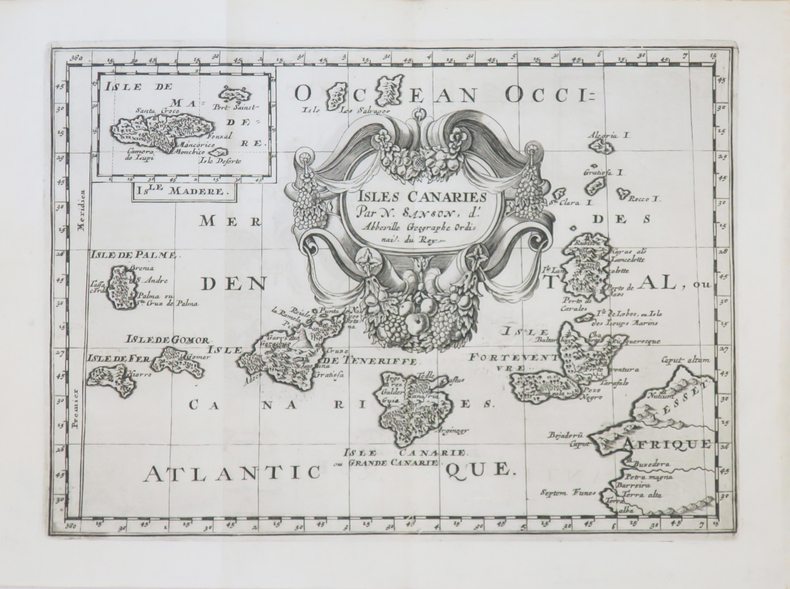
1700LBW-4057[1700]. 187 x 262 mm.
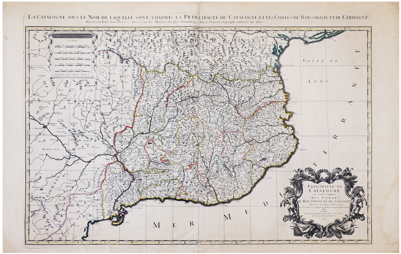
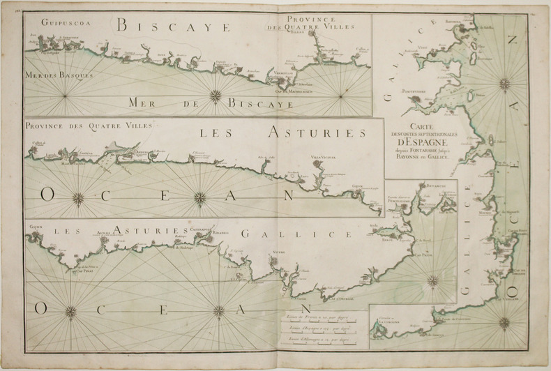
1696LBW-6394Paris, H. Jaillot, 1696. En deux feuilles jointes formant une carte de 565 x 868 mm.
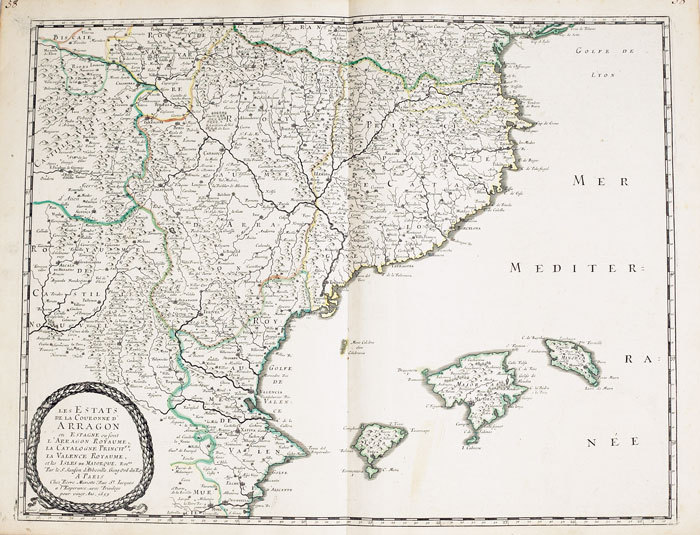
1652LBW-2301Paris, Pierre Mariette, 1652. 532 x 410 mm.
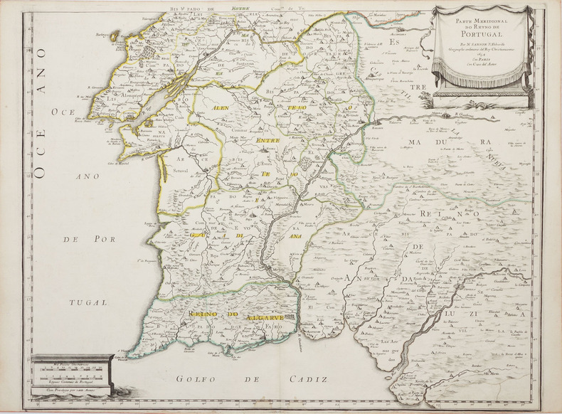
1658LBW-2290Paris, Em casa del autor, 1654 [1658]. En deux feuilles de 415 x 535 mm chacune.
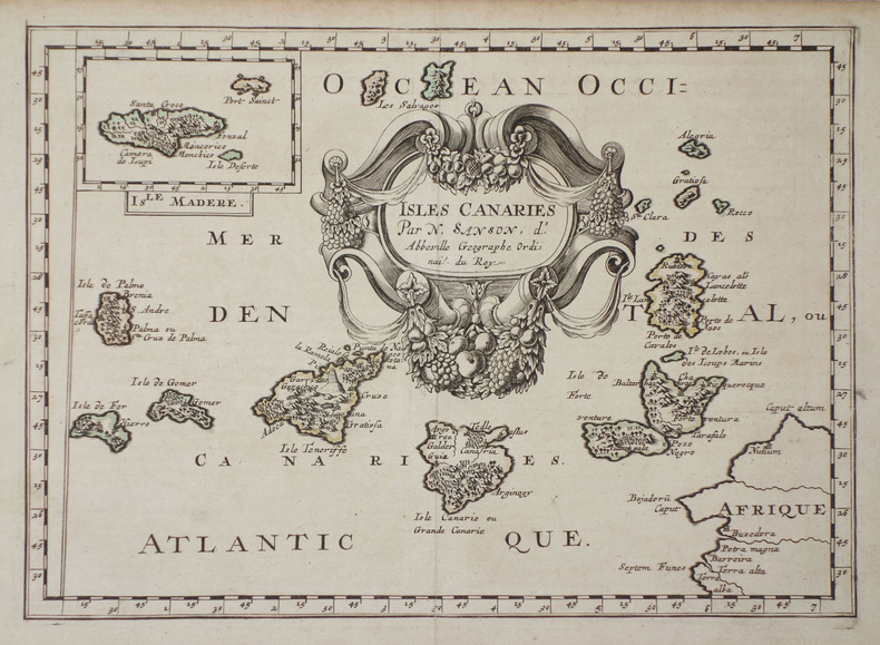
1683LBW-7051683. 189 x 265 mm.
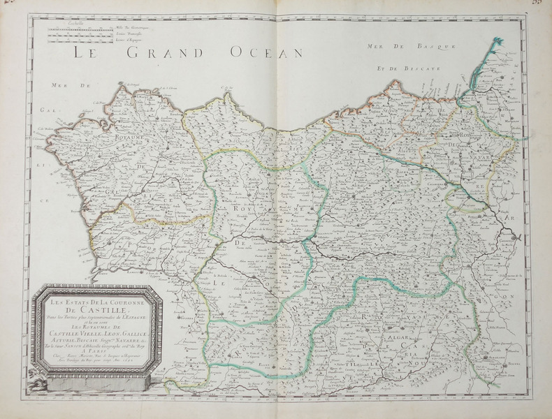
1652LBW-656Paris, Pierre Mariette, 1652. 404 x 533 mm.
1663LBW-9481663 417 x 378 mm.
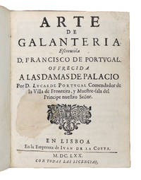
167012054Lisboa: Juan de la Costa 1670. 178x139mm. 7x5½". Lisboa Juan de la Costa 1670. En 4º 178 x 139mm. 12 128 pp. Encuadernación del siglo dieciocho en holandesa pergamino tejuelo en piel en la lomera con letrerÃa dorada. Primera edición de este apreciado libro de poesÃa portuguesa dedicado a la galanterÃa el único tratado sobre este tema publicado en el siglo diecisiete. El libro se escribió en 1628 pero no se publicó hasta 1670. El autor escribió el libro basándose en sus vivencias en la corte madrileña de Felipe IV pero mirando con nostalgia el pasado de la antigua corte portuguesa. La obra ofrece todo el ceremonial de la galanterÃa en un cancionero. Dice Palau: "cuentos alegorÃas dichos agudos sentencias chistesen prosa con intercalados en verso". Francisco de Portugal 1585-1632 era descendiente de Vasco de Gama y I Conde de Vimioso. Se publicó una segunda edición en 1682. Buen ejemplar. Juan de la Costa hardcover
1688028899Lugduni: Anissonios Posuel & Rigaud 1688. Inteira de Pele/Full -Lea. Bom / Good / Bon. In-fól 353x235. 2 Vols de 14 fóls. prels.-510// 12 fóls. prels-484-68 pp. Encadernações da época em inteira de pele com ferros a seco nas pastas e lombadas divididas em seis casas separadas por filetes em relevo e decoradas com ferros a ouro ambas as lombadas necessitam de pequenos restauros pois se encontram com defeitos. Interior bastante limpo denotando-se uma mancha escurecida no primeiro volume que afecta a lombada exterior durante setenta fólios e esparsos sublinhados antigos. O autor nasceu em Penamacor na primeira metade do século XVII e faleceu em 1677. Depois de se formar em Latim e Humanidades estudou na Universidade de Salamanca onde cursou Direito Cesareio sendo discÃpulo de Francisco de Amaya voltando a Portugal exerceu diversos cargos de jurisprudência. Estudioso do direito civil é reconhecido como um destacado tratadista sendo este "Tractatus de donationibus." a sua obra mais importante ao reconhecer um conjunto de doutrinas de direito público do seu tempo e por constituir uma sÃntese da historiografia jurÃdica dos séculos XVI e XVII. Seguindo como fio condutor as doações reais reflete a preocupação dos pensadores do seu tempo em torno da relação entre o PrÃncipe e o Estado posicionando-se a favor dos reis de Portugal. Neste sentido defende o monopólio português sobre o Oceano Ãndico em oposição à s teses de Grocio sobre a liberdade do mar. Este "Tractatus." foi impresso pela primeira vez em Lisboa por Juan da Costa em 1673/1675 sendo esta a primeira edição impressa em Lião a cargo da Sociedade constituida por Posuel e os irmãos Anisson pertencentes a uma das famÃlias de impressores mais relevantes de França dos séculos XVII e XVIII. Barbosa Machado I-706. <br/> <br/> Anissonios, Posuel & Rigaud unknown
1678200041AG1678. Paris Sanson d'Abbeville 1678. Original hand-coloured engraving. Plate Size: 53.6 cm x 41.7 cm. Sheet Size: 61.8 cm x 46.5 cm. Original map. In very good condition. Faint signs of browning to map. Minor paper imperfections to the outer margins. Small stain to map near centre-fold. A richly detailed map showing the northern part of Portugal. Relief on map depicted pictorially and border inlaid with longitudinal and latitudinal details The map is dominated by three rivers: the Tajo Tagus in the south the Douro and the Minho further north. The Spanish kingdom and regions such as Leon are included and the great city of Salamanca can be seen. The lower part of the map runs out before the Tagus estuary empties into the Atlantic at Lisbon. The ornamental title cartouche is in the lower right corner of the map. Off the coast is a large warship flying the coat-of-arms Kingdom of Portugal and the Algarves. The sails of the boat carry Latin text commemorates the commercial and maritime exploits of King John IV in Africa Arabia Ethiopia Persia India and Brazil. Nicolas Sanson 20 December 1600 7 July 1667 was a French cartographer termed by some the creator of French geography in which he's been called the "father of French cartography." The French school of Geography was unprecedented in its attention to precision and scientific detail and discarded much of the decorative embellishments of previous maps as irrelevant. From Sanson's time in the second half of the seventeenth century until the latter part of the eighteenth century French geographical conceptions were more influential than those put forward by any other nation. He was tutor to Louis XIII and Louis XIV. Sanson published over 300 maps. In 1692 Hubert Jaillot collected Sanson's maps in an Atlas nouveau. Wikipedia unknown
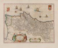
1640200017AG1640. Amsterdam Guiljelmum et Joannem Blaeu 1640. Original hand-coloured engraving. Plate Size: 49.6 cm x 38.1 cm. Sheet Size: 58 cm x 47 cm. Original map. Very good condition. Map orientated with north facing to the right. Some very minor traces of spotting near edges. Signs of foxing in top right corner of map. Minor chip and tear near lower left corner of sheet. Centre fold as issued. Latin text on reverse. Koeman II 6300 "Parte septentrional do Reyno de Portugal". By N. Sanson with P. Mariette 1678; onde Coll. P. 104. Border with longitudinal and latitudinal information. A richly detailed and very interesting map showing the Kingdom of Portugal and the Algarves. Relief shown pictorially with rivers mountains and major and minor settlements depicted through keys. The kingdoms of the Algarves and Portugal are delineated - as are other internal political sub-divisions. The major urban centres are highlighted with red colouring. In the lower part of the map a decorative title cartouche is accompanied by two elaborately dressed scholars performing navigational exercises with their sextant and cross-staff: their gazes directed to the armillary sphere. Another cartouche encases a dual scale. Off the coast 4 naval vessels are pictured illustrating the rich maritime history and naval power of Portugal. Amid the ships a trident-wielding Neptune is depicted astride a Renaissance-style dolphin. The coat-of arms of the Kingdom of Portugal and the Algarves are pictured in the map's top right and left corners respectively. Two ornamental orientation keys can also be seen just off the coast. Fernando Alvares Seco c.1561-85 was a Portuguese mathematician and cartographer who made the first known map of Portugal. It was engraved by Sebastiano del Re and published in Rome in 1561. Abraham Ortelius 1527-98 later reprinted the map in his Theatrum Orbis Terrarum Theater of the world which was first published in May 1570. World Digital Library unknown
165053719Ohne Ort, um 1650. Platte ca. 18 x 12,5 cm, Blatt ca. 22 x 16 cm. 1 Blatt, verso weiß.
1678357931678 In-folio, pleine peau de truie sur ais de bois, dos à 5 nerfs, plats entièrement ornés d'un riche décor à encadrements estampé à froid dégageant un large cartouche central, deux fermoirs d'origine en laiton, titre à la plume, tranches bleutées (reliure germanique de lépoque), (8) f., 550 p., (23) f. dindex, titre rouge et noir, vignette de titre, bandeaux, lettrines, texte sur deux colonnes. Venetiis, sumptibus Combi & Lanouii(is) [Venezia, Combi & La Noù], 1678.
1603953907Frankfurt: Claudius Marne und Johannes Aubris Erben. 1603. Groß-Quart, 37,2 x 22,5 cm. (Der moderne Einband tadellos, innen nur wenig gebräunt, gut erhalten) [5 Warenabbildungen] Seiten 833 - 878. Modernes taubengraues Ganzleinen mit einer montierten verkleinerten Kopie des Titelblatts auf dem Vorderdeckel,
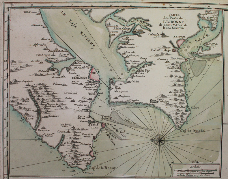
1693LBW-2928[1693]. 585 x 873 mm.
1693LBW-2927[1693]. 590 x 880 mm.
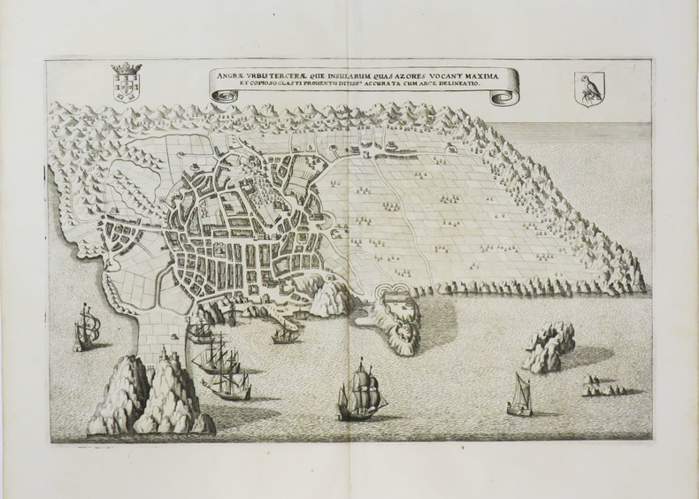
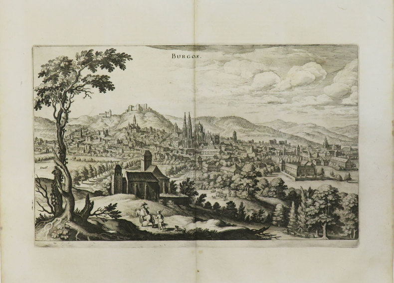
1646901689AGFrankfurt a.M.:, Merian, 1646. Kupferstich Bildgröße 21,5 x 32,5 cm, Blattgröße 32 x 38 cm.
1649LBW-3615[1649]. 209 x 329 mm.
1649LBW-3440[1649]. 187 x 311 mm.
1628LBW02505Amsterdam 1628-33 366 x 415 mm.
1610LBW06164Dordrecht Adrianus Bottius 1610 147 x 180 mm.