FAMIN, César:Livre Rare Book
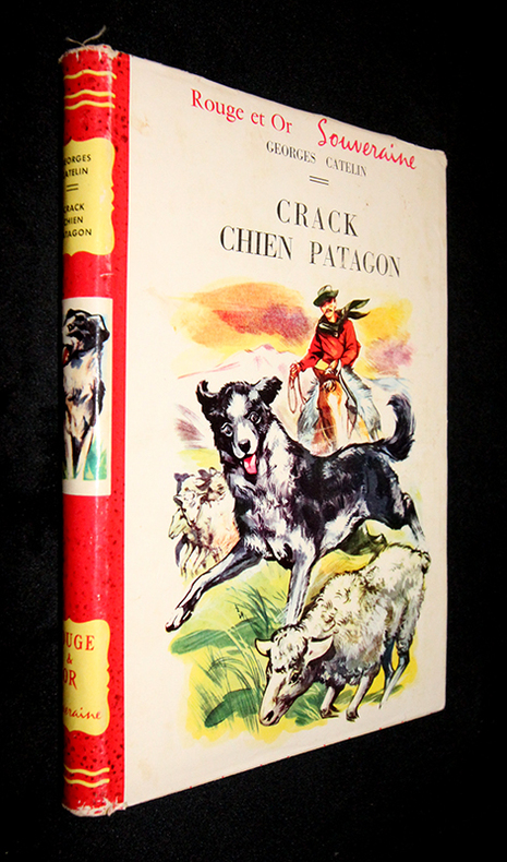
Catelin GeorgesLivre Rare Book
Crack Chien patagon
1959qg2112G.P. Rouge et Or Souveraine Cartonné avec jaquette 1959 Cartonnage crème in-12 (15.5 x 20.7 cm), avec jaquette illustrée, dos rouge, 186 pages, illustrations couleur et noir et blanc in et hors-texte ; jaquette légèrement usagée (coiffes et coins frottés, quelques taches d'usage aux plalts, déchirures sans manque au 4ème plat), assez bel état. Livraison a domicile (La Poste) ou en Mondial Relay sur simple demande.
Abraxas-Libris · Bécherel, France12,00 €