929 résultats
31493Paris Editions Littré ( Bellenand ) 1949 in 12 (18,5x12) 1 volume broché sous jaquette illustrée en couleurs, 253 pages [1]. Jean Galmot, Monpazier 1879 - Cayenne 1928, écrivain français, journaliste dreyfusard, homme d'affaires, député de Guyane en 1919. Bon exemplaire ( Photographies sur demande / We can send pictures of this book on simple request )
234Librairie Française. 1921. Grand in-8°, reliure demi-bradel toilée, couverture et dos conservés. 244 pages.
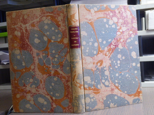
481573Chez Veuve Tilliard Et Fils - De L'Imprimerie De Testu Paris 1798 In-12 ( 195 X 125 mm ) de 230 pages, cartonnage de papier marbré à la bradel, dos lisse avec pièce de titre de maroquin grenat ( Reliure postérieure ). Edition originale. Très bel exemplaire, très pur."Cet ouvrage est écrit d'après les propres observations de l'auteur, qui voyagea pendant un an dans la Guyane, et y fit trois voyages dans le but de rectifier les cartes marines". ( Leclerc p. 396 N°1521: )
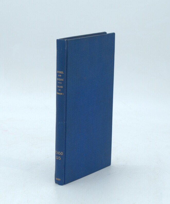
1800PHO-1558Leyden, A. & J. Honkoop, 1800, in-8, pleine toile postérieure, dos lisse avec titre, auteur, date et ref. Bibliothèque.
4747PARIS, Imp. Alcan-Lévy - 1900 - Exposition Universelle 1900, Les colonies françaises - Débroché - 1 & 4 plats illustrés en couleurs - Carte dépliante HT - Nombreuses illustrations NB, certaines PP & Ht - 239 pages
28227La Pensee Universelle, 1971. Format 13x22 cm, broche, 125 pages. Tres bon etat.
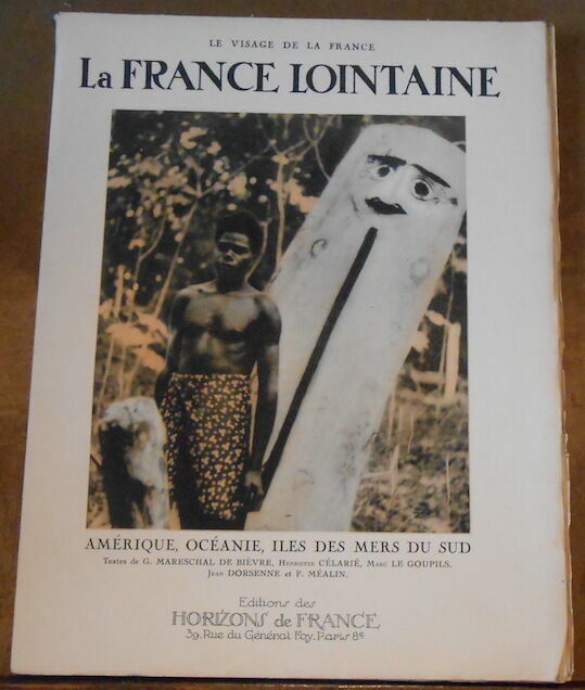
1930179691930. Paris Éditions des Horizons de France 1930 - Broché 25 cm x 33 cm 87 pages photos en héliogravure in et hors-texte - Textes de G. Mareschal de Bièvre Henriette Célarié Marc Le Goupils Jean Dorsenne et F. Méalin - Bon état
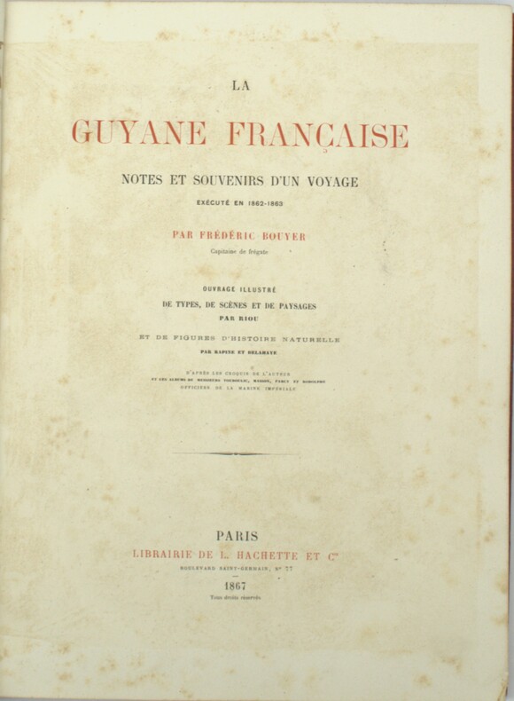
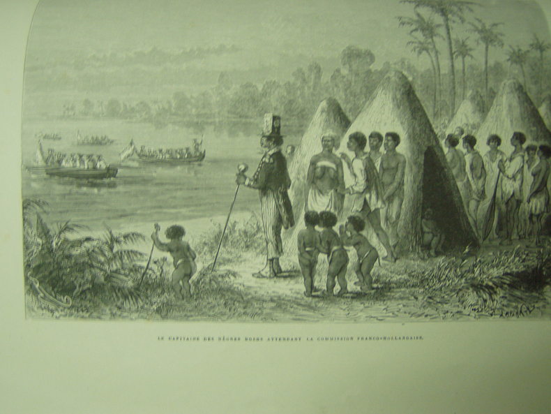
1867PHO-1792Hachette & Cie, Paris 1867, 26x35cm, reliure demi chagrin rouge de l’époque, dos à nerfs orné avec titre et auteur, tranches dorées, abondamment illustré de dessins de Riou, Rapine et Delahaye.
1867PHO-1153Hachette & Cie, Paris 1867, 26x35cm, reliure demi chagrin rouge de l’époque , dos à nerfs orné avec titre et auteur , tranches dorées , abondament illustré de dessins de Riou, Rapine et Delahaye. Édition originale de ce voyage à et dans la Guyane française , donnant une description du pays et de ses habitants ,mélant anecdotes et aventures ,coins usés .
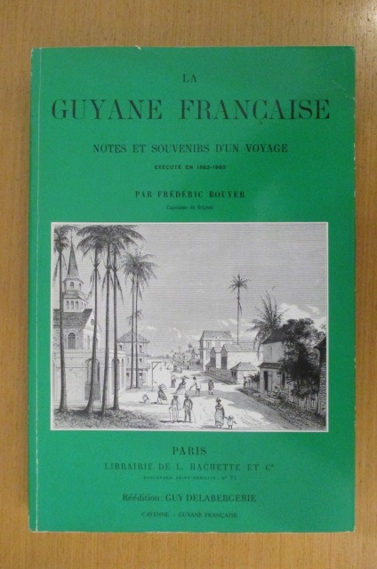
VOY001C411990 / 316 pages. Broché Editions Hachette et Cie
1867145421867 Hachette et Cie Reliure demi cuir à coin, premier plat conservé, 312p. bon état, coins et dos frottés, reliure solide.
26788Paris Institut Géographique de Paris. - Ch. Delagrave 1898 in 8 (25x16,5) 1 fascicule broché, couverture imprimée, 19 pages. Rare tiré à part, extrait de la revue de géographie dirigée par M. Ludovic Drapeyron. Bon exemplaire ( Photographies sur demande / We can send pictures of this book on simple request )
31505Paris Imprimerie Nationale 1898 in 8 (25x16,5) 1 fascicule broché, couverture imprimée, 43 pages, avec 2 cartes, dont une dépliante in fine. Rare tiré à part, extrait du Bulletin de géographie historique et descriptive, N°1, 1897. Bon exemplaire ( Photographies sur demande / We can send pictures of this book on simple request )
189772563Paris Hotel des sociétés savantes 1897 1 vol. broché in-4, broché, 58 pp. Bordures de couvertures un peu brunies. Légers accrocs en bordure de la 4e de couv. Sinon bon état.
QWA-16552Editions du Léopard d'Or, 1981, pet. in-4 br. (22,5 x 23,5), 136 p., 1ère édition, coll. "Nature vraie", préface de Pierre Pfeffer, nombreuses photos n. et b. et coul., très bon état.
1799311123London: printed for J. Wright 1799. First English edition. 4 215 pp. 8vo. Contemporary sprinkled calf morocco spine label lettered in gilt. Some rubbing to binding small split to front joint minor marginal worming at beginning. First English edition. 4 215 pp. 8vo. Narrative of the exile of several French revolutionaries to the penal colony of Cayenne in Guiana giving account of travel in the colony and of the voyage residence and escape. Sabin 67630 printed for J. Wright unknown books
182418496French Guiana 1824. Together 12 manuscript maps and views plus one engraved map. Provenance: Baron Pierre-Bernard Milius 1773-1829. A fine manuscript cartographic record of Baron Milius's scheme to establish a settlement near the mouth of the river Mana on the far west coast of French Guiana including survey work by Auguste Vaillant.<br/> <br/>"Milius first went to sea in 1786 on his father's merchant ships. He joined the navy in 1793 and in 1800 as 'lieutenant de vaisseau' lieutenant commander was appointed to the Australian Expedition of Nicolas Thomas Baudin. He served as Jacques Hamelin's second-in-command on the Naturaliste and at Timor in 1801 was promoted 'capitaine de frigate' commander" Howgego M44. The importance of the Baudin Expedition cannot be overstated. The 1800-1803 French expedition was the first to survey the western coast and much of the southern coast of Australia. The Expedition harbored at Sydney from the end of April to mid-November 1802. On the return Baudin died of illness and command passed to Milius who successfully brought the expedition back to France. Milius subsequently served as director of the port of Venice returning to France in 1814; "after the restoration of the monarchy in 1815 he was appointed director of the port of Brest. He subsequently served as governor of Reunion 1818-21 and Guiana 1823-25 and in 1827 commanded the Scipion at the Battle of Navarino" Howgego. Milius's service as governor of French Guiana was of particular importance. Originally settled by France in the 17th century the South American tropical region had been seized by Portugal in 1809. After its restoration to France a renewed movement began to colonize the area. Milius himself would be influential in seeking to create a penal colony at Mana and to oversee numerous surveys of the region to determine the feasibility and best places for colonization. The present archive from the collection of Baron Milius dates from his time as the colonial governor of French Guiana and includes several magnificent large-scale maps and views including a masterful manuscript plan of Cayenne as well as important manuscript maps of Mana and the Maroni River by Auguste Nicolas Vaillant 1793-1837. Together this collection represents a stunning visual record of the culmination of Milius's storied career. Original primary source manuscript material from Grand Voyage expeditions is of the utmost rarity and almost exclusively exists in French institutions. Such material that does appear on the market is seldom able to leave France. These newly-discovered drawings from a critical period of French exploration are of great historical value. The collection is comprised of: 1 Auguste Nicolas VAILLANT 1793-1837. Pen ink and wash original manuscript map titled 'Plan de la Partie du Maroni Comprise Entre Son Embouchure Et le Parallêle Situé par 5 degrees 7'.46". de latde. N. Dressé par Augte. Niclo. Vaillant Ensgne. de Vau. pendant Son Voyage dant Ce Fleuve pour le Service de la Commission Explorative de la Guyanne Française'. French Guiana: 1824. Pen and black ink with grey watercolor wash on early 19th-century laid paper 'M' in a shield watermark with 'M' countermark. Sheet size: 39 1/4 x 25 1/2 inches. An attractive record of an important early survey of the border between French Guiana and Surinam. Auguste Vaillant served as 'aide de camp' to Baron Milius and would subsequently command a voyage of circumnavigation aboard the corvette Bonite. He produced this detailed record of soundings and observations about habitation and natural features and hazards on the Rio Maroni: the importance of the work was recognised and he produced a 'memoir' describing the exploration. The Maroni which up until this survey was virtually unknown served then and now as French Guiana's border with Surinam on the west bank. The area surveyed includes a 'Grand village Parêtlaii' on the approximate site of present-day Saint-Laurent du Maroni. As the title makes clear this map was one of the results of an extensive survey carried out for the commission commanded by Baron Milius to explore French Guiana. 2 Auguste Nicolas VAILLANT 1793-1837. An original manuscript map titled 'Croquis du cours de l' Acarouani en de ses Affluence par Augte. Vaillant Ensgne. de Vau. Aide de Camp de Mr. le Bon. Milius'. French Guiana: 17 Juillet 1824. Pen and ink on laid French Grand-Aigle paper watermark: a crowned eagle. Sheet size 25 3/4 x 17 3/4 inches. A detailed chart of the course of the Acarouani River from its headwaters to its confluence with the Mana just upstream from the town from where the town of Mana is now situated. 3 H. PARENT. An original manuscript map titled 'Plan de l'ancienne et nouvelle ville de Cayenne.' French Guiana: 1821. Pencil pen-and-ink and watercolour on laid French Grand-Aigle paper watermark of a crowned eagle watermark with indistinct countermark. Sheet size: 24 1/8 x 35 1/16 inches. A beautifully-finished plan showing the proposed new layout for the capital apparently following the plans drawn up by the surveyor Sirdey the 'arpenteur royal.' This plan marks the moment when Cayenne became a modern colonial capital and is a fascinating and important document in the history of the development of Cayenne. The proposed expansion was only possible because of the amount of land that had been reclaimed by the engineering works which began in 1777. Using convict labour the draining of the marshy land around the old town and the resulting Canal Laussat shown on this plan was also finished in 1821. The Old Town "Ancienne Ville" lies at left; the New Town "Nouveau Ville" at right. It is interesting to note how much of the lay out suggested here is still in existence although very few of the streets have retained their names - the 'Rue de Choiseuil' is now the 'Avenue du général de Gaulle' for instance. 4 Captain BONNE. An original manuscript engineering drawing titled 'Plan d'un Débarcadour en charpente projeté pour le Port de Cayenne. Executé sous l'administration de Mr. le Baron Milius'. French Guiana: March 1823. Pen-and-ink and watercolour wash on laid paper watermark of an 'M' in a shield 'M' countermark. Sheet size: 26 3/8 x 40 inches. Further inscribed "Vue et Approuvé" by Baron Milius with his signature and the date '27 Mars 1823' and also signed by Bonne 'Le capn. au corps Royal du genie militaire.' Four engineering drawings on one large sheet of a proposed boat dock in Cayenne: top elevation side elevation and two details. 5 Captain BONNE. An original manuscript engineering drawing titled 'Plan d'un Débarcadour en charpente projeté pour le Port de Cayenne. French Guiana : circa 1823. Pen ink and watercolour wash on laid French Grand-Aigle paper watermark of a crowned eagle clutching thunderbolts in each foot 'Montgolfier / Annonay' countermark. Sheet size: 26 1/4 x 38 ½ inches. A more finished version of the previous drawing. 6 Captain BONNE. An original manuscript engineering drawing titled 'Projet d'un Pont de débarquement en charpente à construire vis-à -vis le Bureau du Port à Cayenne'. French Guiana 1823. Pen ink and watercolour wash on laid French Grand-Aigle paper watermark of a crowned eagle clutching thunderbolts in each foot 'Montgolfier / Annonay' countermark. Signed by Bonne. Sheet size: 25 x 19 1/8 inches. Detailed engineering plan of a bridge from a disembarking point to the mainland near the 'Bureau du Port' in Cayenne. 7 Captain BONNE. An original manuscript architectural drawing titled 'Plan de l'Hôpital militaire projeté à Cayenne'. French Guiana circa 1823. Pen ink and watercolour wash on laid paper watermark of an 'M' in a shield 'M' countermark. Sheet size: 24 3/4 x 38 5/8 inches. Signed by Bonne 'Le capn. du genie.' A fine architectural drawing of the new wing of the military hospital in Cayenne. 5 parts on one sheet as follows: Floor plan of the new and existing wings; elevation of the new and existing wings which shows the changes to the latter; two cross sections and an elevation of the existing wing before modification. 8 Captain BONNE An original manuscript architectural drawing titled 'Caserne pour 6 compagnies d'infanterie projetée a Cayenne'. French Guiana circa 1823. Pen ink and watercolour wash on 19th century wove paper. Sheet size: 20 3/8 x 26 1/4 inches. Expertly drawn architectural plan for a barracks for "six companies of infantry" at Cayenne. Consists of elevations of three facades a cross section and a plan of the main floor. 9 E. BODIN. An original drawing titled in a cartouche 'Vue du Port de la Nouvelle Angoulême'. French Guiana: July 1824. Pencil and brown wash panorama with black ink ruled border on two joined sheets of laid Dutch Royal paper 'Vande Ley' watermark with countermark of the figure of Fortune on a globe with 'VDL' monogram beneath signed 'E. Bodin del.' in black ink in lower right corner. Sheet size: 16 inches x 46 3/4 inches. A beautifully observed and executed view of this newly-established experimental colonial settlement. The village is shown from the opposite bank of the Mana River from approximately eye-level. Shown within a tropical landscape are eight buildings five of which appear to be private dwellings two public buildings and one at far left a store or warehouse. The next plan by Bodin see below includes the information that he was an 'Ingénieur Géographe de Militaire'. 10 Captaine BRACHE. An original pen ink and watercolour map titled 'Crique Portal depuis son embouchure jusqu'a 40 lieues. Exploration de Mr. le Capne. Brache en Juillet en Aout 1824. d'apres les ordres de Mr. le Baron Milius commandt. et administratr. de la Guyane Fe. pour le Roi.' French Guiana: 1824. Pen and ink map of the course of the river with large watercolour vignette of the rapids of St. Bernard within a black wash border on laid French Grand-Aigle paper watermark of a crowned eagle clutching thunderbolts in each foot with 'Montgolfier / Annonay' countermark. Sheet size 25 1/4 x 35 inches. Shows the course of the 'Crique Portal' a tributary of the Rio Maroni that runs roughly from southwest to northeast specifically designed to show in large inset a series of rapids Saul St. Bernard that obstruct navigation on the river. 11 E. BODIN & Mr. LAINÉ. An original chart titled in a cartouche 'Plan de l'embouchure de la Mana levé et dressé par ordre de Monsieur le Baron Milius commandant a la Guyane pour le Roi par les Officiers de la Goelette de sa Majesté l'Artésienne sous la direction de Mr. Lainé commandant la station de Cayenne conjointement avec Mr. Bodin ingénieur géographe militaire'. French Guiana: July 1824. Pen ink and watercolour chart with soundings marked in black and red title cartouche and explanatory index on a trompe-l'oeil 'sheet' of paper all within black ink ruled border on two joined sheets of laid paper watermark: an 'M' in a shield with an 'M' countermark. Sheet size: 24 5/8 x 46 1/8 inches. A finely-presented manuscript nautical chart of an area of the utmost importance to the settlers on the banks of the Mana in the far north west of French Guiana. Numerous soundings are given and the title cartouche is enriched by the inclusion of two 'cornucopias' overflowing with pineapples mangos paw-paw avocado banana and tropical flowers. A preparatory drawing for the following: 12 E. BODIN & Mr. LAINÉ. An original chart titled in a cartouche 'Plan de l'embouchure de la Mana levé et dressé par ordre de Monsieur le Baron Milius commandant a la Guyane pour le Roi par les Officiers de la Goelette de sa Majesté l'Artésienne sous la direction de Mr. Lainé Commandant la Station de Cayenne conjointement avec Mr. Bodin Ingénieur Géographe de Militaire'. French Guiana: July 1824. Pen ink and watercolour chart with soundings marked in black and red title cartouche and explanatory index on a trompe-l'oeil 'sheet' of paper all within black ink ruled border on two joined sheets of laid French Grand-Aigle paper signed 'E. Bodin Direxit.' in red ink in lower right corner crowned eagle with indistinct countermark. Sheet size: 24 1/8 x 44 3/4 inches. A more highly finished variant to the above with additions and corrections and signed by Bodin. 13 GRESSIER. Plan de l'Embouchure de la Rivière de Cayenne et des Mouillages Extérieurs Levé en Mars 1820 dans la Campagne de la Corvette la Bayadère et du Brick Le Favori par M. M. Gressier Ingénieur Hydrographe de la Marine . Sous les Ordres et la Direction de M. le Baron Roussin . Chef de l'Expédition. Paris: Dépòt-général de la Marine 1822. Black and white copper-engraving. Sheet size: 27 1/2 x 40 1/8 inches. A fine engraved marine chart almost contemporary with the manuscript plans and drawings above. It shows Cayenne and its vicinity in detail and includes an inset of the Iles du Salut including the infamous Devil's Island.<br/> <br/>Howgego M44 & V1. unknown books
1828WRCAM30792A Cayenne: L'Imprimerie du Gouvernement 1828. 54pp. Slim quarto. Contemporary plain wrappers. Internally clean and bright. Near fine. A collection of proposed French administrative documents concerning the establishment of a mortgage and loan office in French Guiana. The various articles are geared toward liberal loan regulations to encourage agricultural development including the allowance of slaves as collateral. Since the restoration of the region to French authority in 1817 via the Treaty of Vienna the promotion of an agrarian economy was a primary concern though the subsequent designation of Cayenne as a penal colony significantly reduced the territory's appeal. Like most Cayenne imprints of this era the present document is quite rare. Not on OCLC. L'Imprimerie du Gouvernement unknown books
6459Cayenne French Guiana 17 June 1837. 11 x 7 inches one small hole occasional light stains only. Cayenne a seaport and the capital of French Guiana became a penal settlement for politicial offenders. unknown
1867236531867 Paris : L. Hachette et cie, 1867.IN FOLIO pleine toile noire chagrinée,dos lisse titré,316 pages,interieur propre,qques rousseurs éparses à fortes aux premiers et derniers feuillets,recherché.Edition originale de ce journal de voyage très riche, par un officier de Marine, avec mission d'inspection des pénitenciers de Guyane. Sabin 6982 - Vicaire I. 917 - Chadenat 3142. Ouvrage illustré de 16 planches hors texte dont une carte (dans la pagination), représentant types, scènes et paysages par Riou, et de figures d'histoire naturelle par Rapine et Delahaye, d'après les croquis de l'auteur et les albums de MM. Touboulic, Masson, Farcy et Rodolphe, officiers de la Marine Impériale.
VOY022C45Portfolio. Numéro 167 sur les 2000 tirages. 16 pages de texte et 21 petites photographies + 16 photographies grand format pleine page avec fac-similé de la signature de l'artiste. (+PCM)
RO20160086LES CREATIONS DU PELICAN. NON DATE. In-8. Relié. Etat d'usage, Couv. convenable, Dos satisfaisant, Intérieur frais. 156 pages - nombreuses cartes, photos et illustrations en noir et blanc et en couleurs dans et hors texte.. . . . Classification Dewey : 988-Guyane
RO40027367pélican. Non daté. In-8. Relié. Bon état, Couv. convenable, Dos satisfaisant, Intérieur frais. 156 pages - Nombreuses photos et autres illustrations en noir et blanc et en couleurs dans et hors texte et des plans en couleurs. . . . Classification Dewey : 988-Guyane
5019Editions ORPHIE, collection Le Grand Livre, 2002, cartonnage éditeur illustré en couleurs, 16,5x24,5 cm, 254 pages. Illustrations en noir et blanc et couleurs.