56 616 résultats
199691637V.Edition 1996 In-8 cartonné, pleine toile bleue22 cm sur 15. 230 pages. Très bon état d’occasion.
19981021998 1 London, Conway Maritime Press, 1998, in-4° carré relié sous jaquette illustrée.
199871624Anthèse 1998 In-4 relié 30 cm sur 28,6. 160 pages. Bon état d’occasion.
1962ROD0036410Hachette. 1962. In-16. Broché. Bon état, Couv. convenable, Dos satisfaisant, Intérieur frais. 159 pages, nombreuses illustrations noir et blanc dans le texte.. . . . Classification Dewey : 386-Marine
1978203579Couverture rigide. Cartonné. 160 pages. Rousseurs. Couverture légèrement défraîchie.
Y. Kaufman, P. Stillwell - Sharks of Steel - ed. 1993 Testo in lingua inglese. Pagine 154 con illustrazioni. Copertina rigida. Condizioni molto buone.
Y. Buffetaut - D-Day Ships: The Allied Invasion Fleet, June 1944 - ed. 1994 Testo in lingua inglese. Pagine 161 con illustrazioni. Copertina rigida. Condizioni molto buone.
Tavola contenente nove raffigurazioni: nella parte superiore e centrale della stampa sono rappresentate sei Rose dei Venti; in basso a sinistra sono indicate le scale metriche; in basso a destra una tabella comparativa tra gradi di latitudine e scale metriche. La tavola è, per la prima volta, pubblicata nell’Epitome Cosmografica del 1693 di Vincenzo Maria Coronelli, stampata a Colonia, per conto dell'editore veneziano Andrea Poletti. L’opera, dedicata all’ Accademia degli Argonauti, la prima società geografica del mondo fondata dallo stesso Coronelli, è suddivisa in tre libri: il primo, di 35 capitoli, verte sull’astronomia e sulla cartografia celeste; il secondo, di 17 capitoli, tratta della terra e della geografia; il terzo è composto da 5 capitoli della parte prima “che contiene la Descrittione de’ vari globi, che sin hora sono stati fabbricati” e dagli ultimi 23 capitoli della parte seconda “che contiene la pratica” della costruzione dei globi. Ad ogni argomento trattato corrisponde una delle 38 tavole annesse al volume. Coronelli produsse quasi quattrocento carte cosmografiche e geografiche distribuite tra le sue maggiori opere: l’Atlante Veneto, il Corso Geografico, l’Isolario, l’Arcipelago e la Biblioteca universale sacroprofana (1701-1709), enciclopedia alfabetica prevista in venti volumi, dei quali furono prodotti soltanto i primi sette. La presente tavola è tratta dall’Atlante Veneto. Incisione in rame, bella coloritura coeva, in ottimo stato di conservazione. Plate containing nine illustrations: in the upper and middle part are represented six Roses of the Winds; at the bottom left, in a cartouche there are the different metric scales used by Coronelli for his geographical studies. In the lower right a comparative table between degrees of latitude and metric scales. The plates are published for the first time in Vincenzo Maria Coronelli's Epitome Cosmografica of 1693. The volume was printed in Cologne, on behalf of the Venetian publisher Andrea Poletti. The work, dedicated to the Academy of the Argonauts, the first geographical society in the world founded by the same Coronelli, is divided into three books: the first, of 35 chapters, focuses on astronomy and celestial cartography; the second, of 17 chapters, deals with the earth and geography; the third consists of 5 chapters of the first part "che contiene la Descrittione de’ vari globi, che sin hora sono stati fabbricati" and the last 23 chapters of the second part "che contiene la pratica" of the construction of the globes. Each topic corresponds to one of the 38 tables attached to the volume. Coronelli produced nearly four hundred cosmographic and geographical maps distributed among his major works: Atlante Veneto, Corso Geografico, Isolario, Arcipelago and Biblioteca universale sacroprofana (1701-1709), an alphabetical encyclopedia planned in twenty volumes, of which only the first seven were produced. The present table is taken from Atlante Veneto. Copper engraving, beautiful contemporary coloring, in excellent condition.
ORD-9066Année complète. Bordighera. Institut International d'Études Ligures. (1972-1973). 3 cahiers gd in-8 (186 x 263mm) brochés, couvertures illustrées d'une carte de la région, 455 pages (pagination continue), nombreuses illustrations dans et hors texte, avec 6 grandes planches dépliantes dont une en couleurs: Relieve general del pecio del Sec (Palma de Majorca) Campan de exploracion 1970. Bon exemplaire.
Compagnie Générale Transatlantique. 1961. In-8 Carré. Broché. Etat d'usage. Couv. légèrement pliée. Dos frotté. Pliures. Non paginé (plus de 1000 pages). Illustré de nombreuses photos en noir et blanc dans le texte. Feuillets à onglets. Documentation technique. Lignes. Pays desservis. Ports et agences. Agents de Fret. Répertoire commercial.
ORD-9064Année complète. Bordighera. Institut International d'Études Ligures. (1965-1966). 3 cahiers gd in-8 (186 x 263mm) brochés, couvertures illustrées d'une carte de la région, 395 pages (pagination continue), illustrations dans et hors texte. Bon exemplaire.
ORD-9065Année incomplète nous proposons de janvier à septembre (manque le 3°cahier) . Bordighera. Institut International d'Études Ligures. (1966-1967). 2 cahiers gd in-8 (186 x 263mm) brochés, couvertures illustrées d'une carte de la région, 360 pages (pagination continue), illustrations dans et hors texte. Bon exemplaire.
1961RO40216884Compagnie Générale Transatlantique. 1961. In-8. Broché. Etat d'usage, Couv. légèrement pliée, Dos frotté, Pliures. Non paginé (plus de 1000 pages). Illustré de nombreuses photos en noir et blanc dans le texte. Feuillets à onglets.. . . . Classification Dewey : 386-Marine
Compagnie Générale Transatlantique. 1956. In-8 Carré. Broché. Bon état. Couv. légèrement passée. Dos satisfaisant. Intérieur frais. Non paginé (env. 1000 pages). Illustré de nombreuses photos en noir et blanc dans et hors texte. Feuillets à onglets. Annotation en page de titre. Documentation technique. Lignes. Pays desservis. Ports et agences. Agents de Fret. Répertoire commercial.
1956RO40228976Compagnie Générale Transatlantique. 1956. In-8. Broché. Bon état, Couv. légèrement passée, Dos satisfaisant, Intérieur frais. Non paginé (env. 1000 pages). Illustré de nombreuses photos en noir et blanc dans et hors texte. Feuillets à onglets. Annotation en page de titre.. . . . Classification Dewey : 386-Marine
100122848Unesco0 in8. Sans date. Broché.
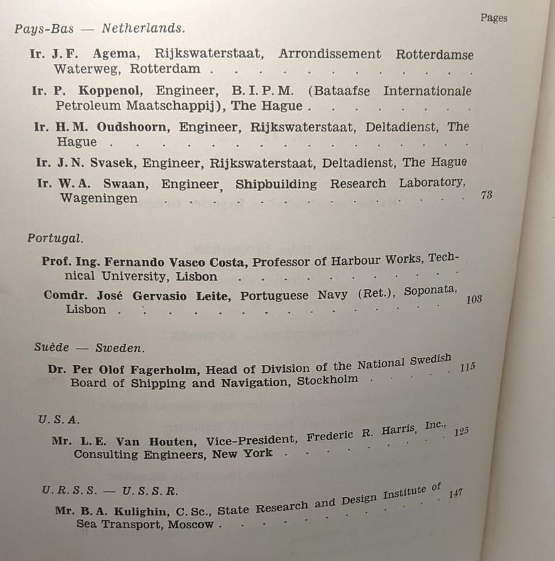
1931MARI0385Brüssel, Geschäftsführender Ausschuss - General Sekretariat 1931. gr.-8°, 46 Hefte mit Abb. u. Taf. in OLn.-Mappen mit Verschlussbändern, schmutzfleckig, Bibl.-Nr. und Inst.-Stemp. auf Vorderdeckeln, einige Hefte am Umschlag gestemp. 1. Mittlg.: Verwaltung der Handelshäfen. Organisation verschied. Amtsstellen für den Bau, die Unterhaltung und den Betrieb. Freihäfen u. Freizonen in den Häfen. Anlageverhältnisse. Einrichtungen, Abmessungen u. Betrieb. Erzielte Ergebnisse. 2. Mittlg.: Ve? [3 Warenabbildungen]
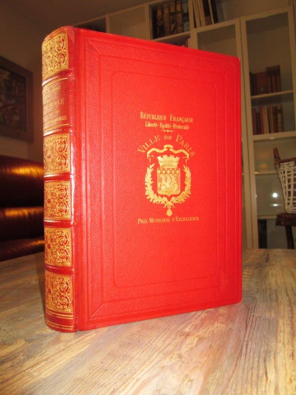
[800 Fig. Arte - Legatura](cm. 29) Bellissima legatura originale in mezzo marocchino rosso. Dorso e piatti stupendamente impressi in oro con ricche ornamentazioni. Tagli dorati sguardie decorate in oro. -pp. VIII, 580 con 36 tavv. f.t. magnifico libro d'arte sui costumi, moda, teatro, feste, armi, marina, finanza ecc... Le incisioni in cromolitografia sono fra le più perfette che mai siano state stampate. Opera ricercata per l'imponente apparato iconografico, per le varie edizioni vedi Graesse, brunet, Lippereide, Colas, e Hiler. rari sono gli esemplari completi e perfetti in ogni sua parte come il nostro. * Hiler 518; * Vicaire IV 858. [F. 82] Libro
1984159898Koblenz / Bonn, Mönch Verlag, 1984.
Very Good English Paperback. Pbo. Roy. 8vo. (23 x 16 cm). In Turkish. 16 p. The Ottoman Empire and Portugal in the Indian Ocean in 16th Century. XVI. asirda Hind Okyanusunda Türkler ve Portekizliler.
ORD-2310In-8 cartonnage illustré de l'éditeur, 693pp., nb. photos et dessins et planisphère couleur récapitulant les Lignes desservies.
5255Compagnie générale transatlantique 1949
188525329Librairie de Firmin-Didot et Cie, 1885. In-4 relié de 28,5 x 20,5 cm, reliure demi-chagrin rouge, dos richement orné de fers dorés, toutes tranches dorées, XII-523 pages, orné de 350 gravures sur bois dans le texte d'après Watteau, Vanloo, Rigaud, Boucher, Greuze, Lancret, J. Vernet, Chardin, Jeaurat, Bouchardon, Saint-Aubin, Eisen, Gravelot, Moreau, Cochin, Wille, Debucourt, etc, 21 chromolithographies hors texte.-2820g.C. -/// Tableau de la société française au XVIIIè siècle avec au sommaire : Le roi et la cour, La noblesse, La bourgeoisie, Le peuple, L'armée et la marine, Le clergé, Les parlements, La finance, Le commerce, L'éducation, La bienfaisance, La justice et la police, Aspect de Paris, Fêtes et plaisirs de Paris, La cuisine et la table, Les théâtres, Les salons, Les voyages, Le costume et les modes./// Intérieur très frais, bel exemplaire.
ORD-830Tenu à Philadelphie en 1912. Chambre de Commerce de Marseille. Barlatier. 1912. In-4, br.couv.salie, qq.bords de ff.roussis, dos défait mais exemplaire acceptable. 52pp.
1983MM367551983 126 p., 42 figs, pls & maps, paperbound. Spine discoloured else good copy of this scarce and sought after title.