236 résultats
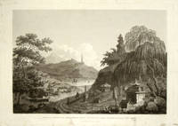
1796199463London.: G.Nicol. April 121796. Large format engraving 30.8 x 45.3 cms; 40.3 x 55.3 cms inc. caption and platemark margins dusty and spotted and residue from previous backing to the verso now attractively preserved loose in a window mount a strong dark impression in good condition. Detailed and elegant engraving prepared as plate 41 for the folio atlas to George Staunton's official account of the Macartney Embassy to China of 1793. The artist William Alexander 1767- 1816 has rendered fine architectural detail as well as capturing the natural world and background imagery. . G.Nicol. unknown
173858781BBNapoli, Francesco Ricciardo. 1738. 8°. Gestochenes Frontispiz, 4 n.n. Bl., 293 S., 3 n.n. S. Tavola. Mit einer mehrfach gefalteten gestochenen Karte von China und 5 (2 gefalteten) gestochenen Ansichten. Pergamentband der Zeit mit handschriftlichem Rückentitel.
173858781BBNapoli, Francesco Ricciardo., 1738. 8°. Gestochenes Frontispiz, 4 n.n. Bl., 293 S., 3 n.n. S. Tavola. Mit einer mehrfach gefalteten gestochenen Karte von China und 5 (2 gefalteten) gestochenen Ansichten. Pergamentband der Zeit mit handschriftlichem Rückentitel.
1795105181BBParis, Denné, l'an IV (1795 et 1796). 8°. [2] Bl., XXIV, 255 S.; [2] Bl., VII, 227 S. Hldr. des 19. Jahrhunderts mit goldgepr. Rüclentitel u. Linienverg. 2 Teile in 1 Band. [2 Warenabbildungen]
1784009888Paris: Chez De Bure Barrois Aîné et Barrois Jeune 1784. Book. Very Good. Morocco. 24mo - over 5" - 5¾" tall. Two volumes bound in full contemporary red morocco the back intricate floral gilt marbled end papers all edges gilt the armorial bookplates of De Verdon front paste downs. 5" x 3". ii 246 xxxix 230 pages. Very Good the boards soiled small hole front gutter Vol. I. The first two volumes only of this seven volume set generally considered the most interesting as they contain Noel's observations on the origin nature and effects of moral and political philosophy in China during the Qing Empire. Chez De Bure, Barrois Aîné et Barrois Jeune Hardcover
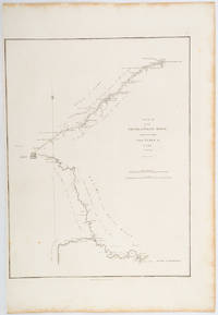
1796197217London.: George Nicol. 1796. Engraved copperplate map on Whatman paper 43.8 x 33.6 cm; 57 x 38.5 cm sheet scale in nautical and English miles; light undulation to sheet marginal toning and edgewear a couple of rust spots to the blank of the map's lower corner trimmed to the border on the inner margin but in very good condition. Finely engraved and detailed map of two routes to Pekin Beijing along the White River Baihe River from the Gulph of Petcheli and along the Imperial Highway from Jehol and includes commentary locating palaces and gardens type of cultivation "many barges" and "the road shaded by willow trees". The map elegantly drawn by Henry William Parish was published in George Staunton's account of Earl Macartney's embassy to China 1792-1794. . George Nicol. unknown
1785LBW-3647[1785]. 366 x 458 mm.
1737LBW-635[Paris, 1737]. 376 x 290 mm.
1785LBW-3644[1785]. 314 x 186 mm.
179014571790 Paris, Chez De Bure l'ainé, 1790, Complet des 7 tomes in-8 + l'atlas in-4 [par Barbier du Bocage] reliés cartonnage bradel rose marbré de l'époque, non massicoté, tel que paru, pièces de titre maroquin noir (titre et tomaison), sans défaut majeur ormis les reliures un peu frottées, intérieur impécable, très bon état
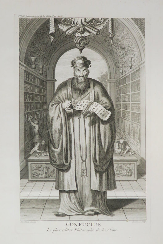
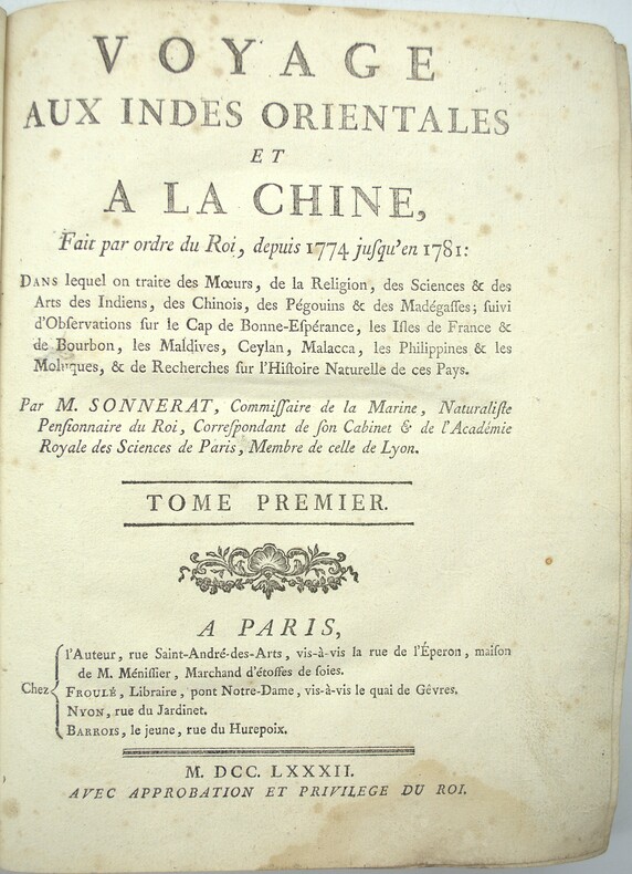
1782PHO-2047Paris, Chez l’auteur, rue Saint André-des-Arts, Froulé, Nyon, Barrois, 1782, 1 volume in-4 (25x20cm), demi basane (19ème) dos lisse orné avec auteur, titre et tomaison en pied, XV-4ff.-317pp., 64 planches (80), frottements, début de fentes en pieds, coins et coupes usés, 4 planches déchirées, manque pages 87 à 90, 2 planches incomplètes, qlqs planches mal pliées, manque les 2 cartes, mouillure par intermittence, qlqs salissures.
17311603461731. In der Platte bezeichnet "A.Watteau inxit / Aubert Sculp." und mit dem Titel. Kräftiger und gegensatzreicher Druck auf Bütten mit gleichmäßigem Rand um die Einfassungslinie und dem Text. 24,9 x 19 cm. Papier: 28,1 x 20 cm.
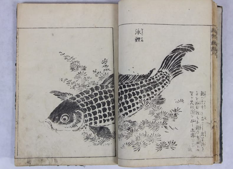
1749137007[ Osaka: Shibukawa Seiemon; Edo: Nishimura Genroku, 1749] 1749 26 x 18.2 cm . Reliure japonaise et étiquette d’origine, Premier volume seul, sur 3. 24 ff. 48 pp. 9 pp. de texte, 17 illustrations à double page, 5 à une page..Couverture fanée. Quelques ternissures en pied. Absence de colophon.
1796209283London.: George Nicol. 1796. Engraved copperplate map on Whatman paper 43.8 x 33.6 cm; 57 x 42 cm sheet including plate markscale in nautical and English miles; light undulation to sheet marginal toning and edgewear but in very good condition. Finely engraved and detailed map of two routes to Pekin Beijing along the White River Baihe from the Gulf of Petcheli and along the Imperial Highway from Jehol and includes commentary locating palaces and gardens type of cultivation "many barges" and "the road shaded by willow trees". The map elegantly drawn by Henry William Parish was published in George Staunton's account of Earl Macartney's embassy to China 1792-1794. . George Nicol. unknown
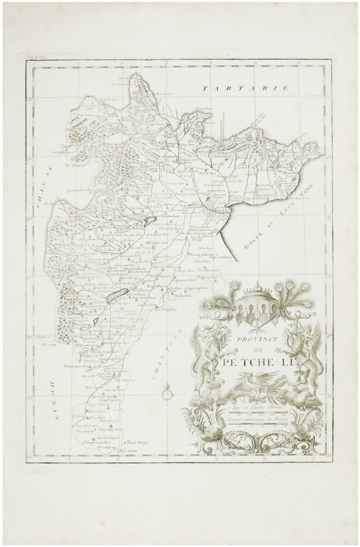
173816699London: Edward Cave at St. John's Gate 1738. Very good overall. Copper engraving period folds. 13 3/4 x 13 1/4" with margins. Map including Shanghai area from the Edward Cave folio edition of this important encyclopedic work on Chinese culture history and society by a French Jesuit who specialized in China. Du Halde's work inspired great interest in China among Europeans and was a ground breaking work in geography. The book: Cordier BS 50; Löwendahl 409; Lust 15. Edward Cave, at St. John's Gate unknown
173816705London: Edward Cave at St. John's Gate 1738. Very good overall. Copper engraving period folds. 12 1/ x 14 1/4" with margins. Closed semi-circular tear repaired archivally. Map from the Edward Cave folio edition of this important encyclopedic work on Chinese culture history and society by a French Jesuit who specialized in China. Du Halde's work inspired great interest in China among Europeans and was a ground breaking work in geography. The book: Cordier BS 50; Löwendahl 409; Lust 15. Edward Cave, at St. John's Gate unknown
173816707London: Edward Cave at St. John's Gate 1738. Very good overall. Copper engraving period folds. 15 1/4 x 18 3/4" with margins. Map from the Edward Cave folio edition of this important encyclopedic work on Chinese culture history and society by a French Jesuit who specialized in China. Du Halde's work inspired great interest in China among Europeans and was a ground breaking work in geography. The book: Cordier BS 50; Löwendahl 409; Lust 15. One small section of fold separated and repaired archivally. Edward Cave, at St. John's Gate unknown
1711PHO-1260Amsterdam , chez Paul Marret, 1711 , 2 Vol. in-2 (15,5x 10 cm), 320 pp. et 358 pp.,illustré de 2 frontispices et 4 planches dépliantes dont 3 cartes , titre rouge et noir , relié plein cuir époque ,Tome 1 dos absent , frottements , tome 2 , frottements et petit manque au plat. Piqures au titre , tome 1.
179816653A Paris, chez F. Buisson, an VII [1798 / 1799]. 2 vol. au format in-8 (203 x 132 mm) de 2 ff. n.fol. et 408 pp. ; 2 ff. n.fol., 414 pp. et 1 f. n.fol. Reliures uniformes de l'époque de demi-basane racinée havane à coins, dos lisses ornés de doubles filets dorés, roulettes dorées, fleurons dorés, pièces de titre de maroquin vieux-rouge, titre et tomaison dorés, supra ex-libros doré en queue sur pièce de maroquin émeraude, toutes tranches jaunes et mouchetées.
175019622Augsburg, (ohne Drucker), (um 1750). Ca. 41 cm x 31 cm.
1796177644London.: G. Nicol. April 121796. Large format engraving 29.9 x 45 cm; 37 x 50 cm sheet trimmed to the platemark spots of browning to the image mainly affecting the sky and marginal foxing corners a little toned old paper repair affecting the caption only no loss the sheet creased at the corners and a little dusty but a strong dark impression in very good condition. Intricate and wonderfully composed engraving after a drawing by the artist William Alexander 1767-1816 prepared for the folio atlas to George Staunton's account of the Macartney Embassy to China of 1793. The engraver James Fittler 1758-1825 was appointed by George III to be his Marine Engraver. Despite the serried ranks of the Chinese noblemen attendants and the figure of the Emperor himself occupying almost the entire engraving it is the figure of Lord Macartney making an entrance stage right who steals the show. Fittler has amplified Macartney as "hero" with the dramatic use of tone: Lord Macartney is bathed in light a representative of the British Empire "on which the sun never sets". The page attending Macartney is the figure of George Staunton's son Thomas. <br>A dramatic evocation of the might of Empire. <br> <br>From the Estate of the late collector and scholar Arthur Hacker. . G. Nicol. unknown
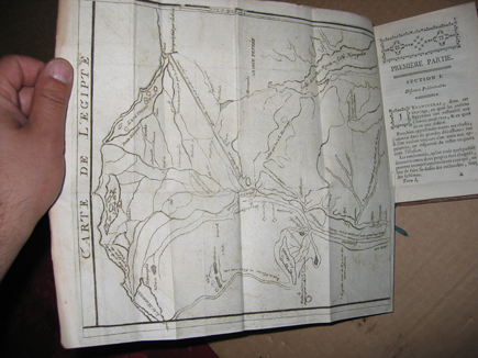
177446401974Berlin, Decker, 1774 ; 2 parties en 4 volumes in-12, basane porphyre, dos ornés, tr. jaspées. XVIII pp., 1 f., 235 pp. - 2 ff., 210 pp. - 2 ff., 224 pp. - 2 ff., 255 pp., 1 p. errata - grande carte dépliante de l’Egypte.Edition parue un an après la première. Elle est augmentée d’une table (pp. 221 à 255.)Bel exemplaire avec un ex-libris gravé J. DEVOISE (début XIXe.)
1725PHO-1469Rouen, J.B. Machuel 1725. 1 vol.(2) in-8,582pp., illustré d’un frontispice et 9 planches , relié plein veau, dos à 5 nerfs ornés, tranche rouge, reliure de l'époque, frottements , coins usés, feuillets déréglés.
174912888Nürnberg, Homann Erben, 1749. Kupferstich, altkoloriert. Blattgröße: 54 x 62 cm, Druckspiegel: 52 x 41,5 cm [2 Warenabbildungen]
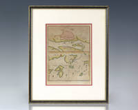
1736137249J. Wood c. 1736. Rare eighteenth century hand-colored map providing plans of Kanton Shang Chwen Shan and Ma-kau being a plate extracted from Du Halde's celebrated Description Geographique the most important cartographic record of the region of the eighteenth century. In near fine condition. Double matted and framed. The entire piece measures 14 inches by 11.5 inches. Based on surveys conducted by French Jesuits at the behest of the Emperor Kang Hsiand Jean-Baptiste Du Halde's Description Geographique constitutes the first scientific mapping of China and remains the most important cartographic record of the region from the eighteenth century. Du Halde did not travel to China but collected seventeen Jesuit missionaries' reports and provided an encyclopedic survey of the history culture and society of China and "Chinese Tartary" that is Manchuria. Voltaire said of Du Halde's work: "Although it is developed out of Paris and he hath not known the Chinese he gave on the basis of the memoirs of his colleagues the widest and the best description the empire of China has had worldwide." J. Wood unknown