[China]. BARROW, JohnBiblio.com
236 résultats
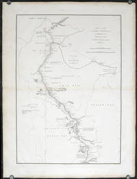
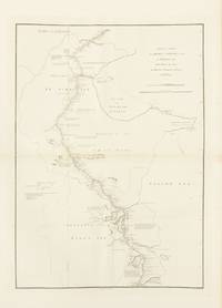
1796143663London: George Nicol 1796. Very Good. London George Nicol April 12th 1796. A large engraved map printed surface 640 × 451 mm sheet size 812 × 557 mm. Engraved by B. Baker. Horizontal centrefold crease as issued; occasional spots of foxing mainly in the margins; two small faint stains to the left-hand margin well clear of the printed surface; old guard on the verso with some light associated tanning on the recto about the fold; in excellent condition with wide margins. John Barrow later first Baronet was attached to the first British diplomatic mission to China led by George Macartney in 1792-94. The map is plate 9 from the atlas to the official account of the embassy George Staunton's 'An Authentic Account of an Embassy from the King of Great Britain to the Emperor of China .'. <p>The journey shown here was from Chengde formerly Jehol to Beijing and then south to Hangzhou along the Grand Canal. While Macartney failed to secure any concessions from the Qianlong Emperor the expedition nevertheless collected important information about the geography culture population and politics of the Chinese Empire. George Nicol unknown
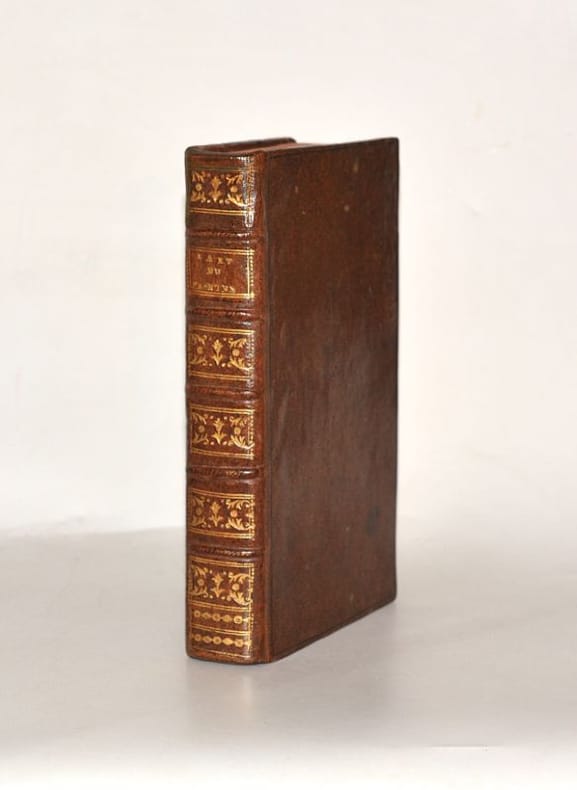
17870056311787 Paris et Liège, desoer, 1787. In-8 (203 X 130 mm) veau fauve granité, dos à nerfs, caissons dorés ornés de fers dorés, chainettes dorées en queue, pièce de titre maroquin fauve, coupes et coiffes filetées or, tranches rouges (Reliure de l'époque) ; XXXII-380 pages, (1) f. blanc. MANQUE le premier feuillet de faux-titre.
17311603471731. In der Platte bezeichnet "A.Watteau inxit / Aubert Sculp." und mit dem Titel. Kräftiger und gegensatzreicher Druck auf Bütten mit gleichmäßigem Rand um die Einfassungslinie und dem Text. 24,6 x 19, 2 cm. Papier: 27,9 x 20 cm.
176614884Florence Italy: Giuseppe Vanni 1766. Print. Very good condition. Period hand-colored copper engraving from the Natural History of the Birds Treated Systematically and Adorned with Copperplate Engraving Illustrations in Miniature and Life-Size 1766-1777. <br /> <br /> The work carries some interesting historical importance according to Peter Dance: "The production of its five massive folio volumes must have been one of the most remarkable publishing ventures ever undertaken in Florence. Begun in 1767 and based on birds taken from the collection of Giovanni Gerini it was completed ten years later. It was larger better engraved and more vividly coloured than any previous work on birds but these are not its only claim to fame. The attitudes of the birds themselves give this book its unique character. Strutting parading posturing and occasionally flying.are birds whose real-life counterparts would surely disown them and not without reason for Manetti seems in these pictures to be depicting the human comedy the habits and mannerisms of contemporary Italian society. His book may still be rated among the very greatest bird books if only for its magnificent comicality" S. Peter Dance The Art of Natural History: Animal Illustrators and their Work. London 1978.<br /> <br /> Approx. 10 5/8 x 13 1/2" platemark on watermarked paper measuring 14 1/2 x 18". The original images were drawn by Lorenzo Lorenzi Violante Vanni or Manetti himself. HKD3680. Giuseppe Vanni unknown
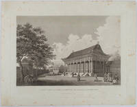
1796177641London. 1796. Large format engraving 23.9 x 35.9 cm; 35.9 x 46 cm sheet including caption and platemark spots of browning to the image affecting the sky and marginal foxing old paper abrasions to the verso the sheet a little creased and dusty but a strong dark impression in very good condition. Fine detailed engraving after a drawing by the artist William Alexander 1767-1816 of the sumptuous Hall of Audience to the Summer Palace prepared as plate 22 for the folio atlas to George Staunton's account of the Macartney Embassy to China of 1793. Staunton's commentary noted its magnificence: "Its projecting roof was supported upon two rows of large wooden columns the shafts of which were painted red and varnished; and the capitals ornamented with various scrolls and devices in vivid colouring particularly with dragons.". The engraver William Lowry 1762- 1824 specialised in architectural engravings and was later a member of the Royal Society. <br> <br>From the Estate of the late collector and scholar Arthur Hacker. . unknown
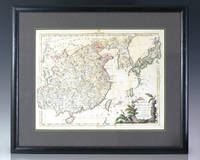
1784137611Venice: Presso Antonio Zatta 1784. Large eighteenth century hand-colored map of China and Japan by Venetian cartographer Antonio Zatta. One page hand-colored with a fine botanical cartouche. In near fine condition. The entire piece measures 19.5 inches by 23.5 inches. Venetian cartographer and publisher Antonio Zatta's major contribution to cartography was the Atlante Novissimo a four volume atlas of the world including detailed maps of China Italy North American and Eastern Europe. Presso Antonio Zatta unknown
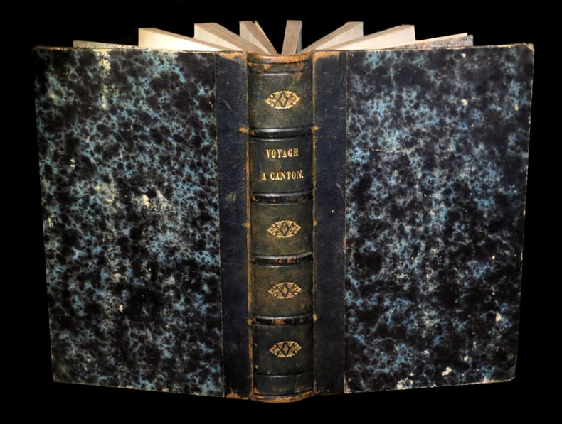
179819535[page de titre absente] - [A Paris, chez André, an VII [1798]]. Un vol. au format in-8 (208 x 134 mm) de 607 pp. Reliure XIXème de demi-basane marine, dos à nerfs orné de filets gras à froid, larges fleurons romantiques dorés, titre doré, toutes tranches mouchetées.
1710PHO-1760Amsterdam, chez Paul Marret, 1710-1711, 2 tomes in-12, 320 pp. et 358 pp., illustré de 2 frontispices et 4 planches dépliantes dont 3 cartes, titre rouge et noir, relié plein cuir époque, dos à nerfs ornés (dos légèrement différents), frottements et épidermures tome 2, petit manque au dos, coiffes et coins usés, une carte déchirée, papier ébarbé tome 1 sur les premiers feuillets, cachet et signature au titre tome 2, rousseurs.
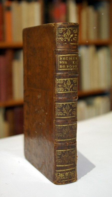
176120227[Genève], 1761 ; in-12, veau marbré, dos à nerfs décoré et doré, pièce de titre havane, tranches rouges (reliure de l'époque) ; [2], 435, [1 bl.] pp. (sign. 1, A-S12, T2).
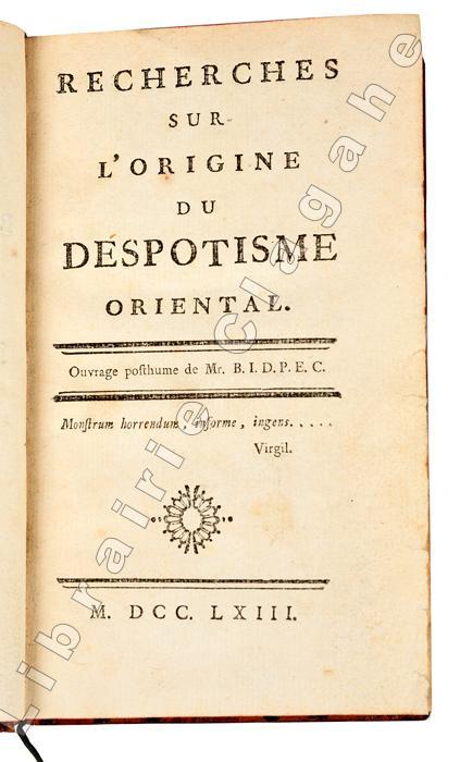
176120424S.l., s.n. , 1763 ; in-12, veau marbré, dos à nerfs décoré et doré, pièce de titre rouge, filet doré sur les coupes, tranches rouges (reliure de l’époque) ; [4], XIX, [1 bl.], 180 pp.
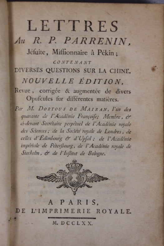
1770134151P., Imprimerie royale 1770 Petit in-8 pleine basane marbrée, dos à nerfs, caissons ornés, XI- 368 pp. Tableaux, une gravure hors-texte, deux dans le texte. Dos frotté, charnières fendillées, coiffes arrachées, coins émoussés. Rares rousseurs.
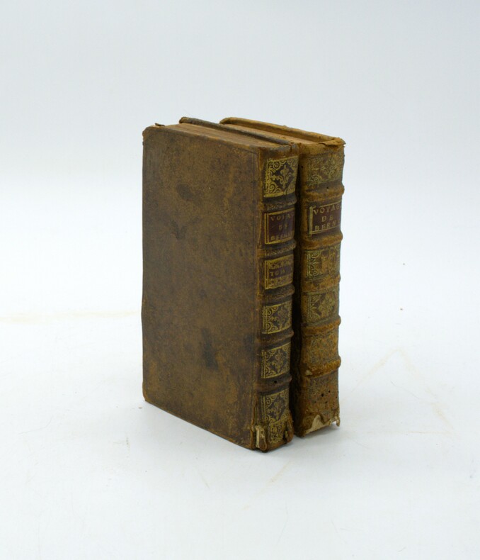
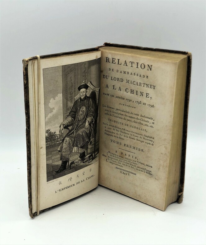
1796PHO-543Paris, Denné le jeune, Bocquillon, Poisson, an IV [1795]. 2 volumes in-8(220x135mm), demi basane époque , dos lisse orné pièce de titre rouge (Reliure de l'époque)coifes et coins usés , mors fendu. Chadenat, n°6357. - Cordier, Sinica, 2387.
1798007522Paris, F. Buisson An 6 de la République 1798 bzw. Lepetit 1807, 1798. viii, 515; 412; 399 S. Unbeschnittene Orig.-Interimsbroschuren mit gedruckten Rückenschildchen. Der Atlas als kleinformatiger, unter Verwendung des alten Materials restaurierter Lederband der Zeit mit dreiseitigem Goldschnitt. (Fortsetzung des Titels:) a la suite de l'Ambassade de Lord Macartney, par John Barrow; Traduit de l'Anglais par J. B. J. Breton. Mit 21 doppelblattgroßen Kupferstich-Tafeln (davon 2 koloriert) (= Bibliothèque portative des Voyages, Tome XLII). Zur besseren Durchsetzung britischer Interessen in China ernannte König George III. Lord Macartney (1737-1806) zum ersten Botschaft am chinesischen Kaiserhof. Er wählte Georges Staunton (1737-1801) als Sekretär und Stellvertreter auch wenn die Popularität von dessen Beschreibung der ersten großen britischen Chinareise kaum darüber hinwegzutäuschen vermochte, daß den Briten vieles im Reich der Mitte unklar und dunkel blieb. Immerhin enthält Stauntons Werk die ersten ausführlichen Nachrichten über den Pei-ho, den die Gesandtschaft im August 1793 bis zur Stadt Tung-tschóu hinauffuhr. Unser Exemplar der ersten französischen Übersetzung leider ohne den vierten Textband mit den 3 gefalteten Karten! Cordier: Bibliotheca Sinica 2384f. Die Broschuren mit stärkeren Gebrauchsspuren, jedoch unbeschnitten und damit zum Aufbinden geeignet. Der kleinformatige Atlas mit Besitzvermerk von 1888. Insgesamt handelt es sich um ein noch ordentliches Exemplar, dessen beiliegender Tafelband einen guten Eindruck von Land und Leuten Chinas zur damaligen Zeit vermittelt.
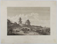
1796177643London.: G. Nicol. April 121796. Large format engraving 23.7 x 35.4 cm; 35.5 x 45.4 cm sheet including caption and platemark spots of browning to the image affecting the sky and marginal foxing corners a little browned the sheet a little dusty but a strong dark impression in very good condition. Fine detailed engraving after a drawing by the artist William Alexander 1767-1816 prepared as plate 20 for the folio atlas to George Staunton's account of the Macartney Embassy to China of 1793. <br> <br>From the Estate of the late collector and scholar Arthur Hacker. . G. Nicol. unknown
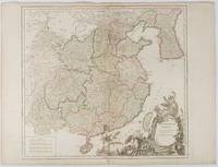
1751177606Paris. 1751. Engraved map 48 x 52.2 cm; 51 x 67.6 cm sheet provinces highlighted with outline hand-colour elaborate title cartouche central fold small tear at the foot affecting the border old paper repair on the verso affecting the margin only pin-holes to the four marginal corners margins a little browned and dusty a handsome map in good condition. Fine large format map showing China Korea Taiwan and parts of Central Asia prepared for De Vaugondy's "Atlas Universel". The beautifully foliated cartouche features a duo of joyful Chinese musicians one dancing and a diminutive figure holding a parasol. <br> <br>From the Estate of the late collector and scholar Arthur Hacker. . unknown
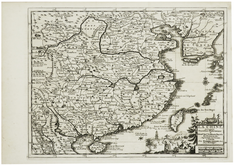
1730LBW-801Leide, [circa 1730]. 222 x 298 mm.
179543097Paris, Paris, Denné le jeune, Bocquillon, Poisson, an IV (1795). 2 tomes en 1 vol. in-8 de (4)-XXIV-255 pp. ; (4)-VII-227 pp., demi-veau marbré, dos lisse orné, pièce de titre en maroquin rouge (reliure de l'époque).
1785LBW-3631[1785]. 391 x 247 mm.
1785LBW-3632[1785]. 398 x 490 mm.
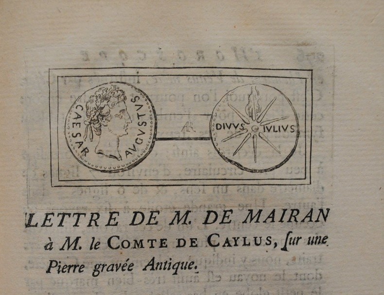
1770P2-2C-9Paris, imprimerie Royale, 1770. In-8 (200x125mm), veau havane, dos à 5 nerfs orné, pièce de titre de maroquin rouge, charnières faibles, coins usés. XVIIff.-348pp.-1ff. Illustré d’une planche hors-texte et de 2 figures dans le texte. « M. de Mairan, de l’académie royale des sciences, fut l’un des premiers de ce siècle, qui manifesta ses doutes sur l’origine des Chinois, dans sa lettre au P. Parrenin, Jésuite Missionnaire à Pékin, en 1734. Il avoue que la première idée, que les Chinois pourraient être une colonie des Egyptiens, lui étoit venue de l’Histoire du commerce & de la navigation des anciens, par le savant M. Huet, évêque d’Avranches, qui jette en passant cette proposition comme un doute. Le P. Kircher avoit été beaucoup plus loin ». Jean-Jacques Bortous de Mairan (1678-1771), physicien, mathématicien et littérateur, est l’auteur, entre autres, d’un célèbre « Traité physique et historique de l’aurore boréale » (1733).
1800ED14-1008Berlin, Haude und Spener, 1800. Pappband der Zeit, 12?, [6], [233]-514 Seiten (Paginierfehler: Sprung in der Z?hlung von S.432 auf S.443 ; S.473-478 doppelt gez?hlt) mit 25 Kupfertafeln inkl. Frontispiz, durchgehend etwas stockfleckig, Einband etwas berieben, sonst guter Zustand
1710J072O. O., Dr., J. (um 1710). Verbot der chinesischen Riten - Erste und einzige Ausgabe der Schrift über die Kontroverse Chinesischer Riten und religiösen Gebräuche, der "Causae Sinensis" bzw. den "Chinesischen Ritenstreit", der zwischen 1610 und 1744 die christliche Mission in China und Indien bestimmte. Meist waren es Jesuiten gewesen, die missionierten und 1610 die Akkomodation durchsetzten, nach der die zum Christentum bekehrten Chinesen die Riten und Zeremonien ihrer traditionellen Religionen beibehalten durften (Ahnenverehrung etc.). Im Jahre der Entstehung des vorliegenden Breve gab es - vor allem aufgrund der Akkomodation - etwa eine Drittel Million bekennender Christen in China. Papst Clemens XI. (1649-1721) hatte auf Drängen des Missionars im Jahre 1704 ein Edikt zum Verbot der Ausübung chinesischer Riten in den missionierten Ländern erlassen. Etwas knapp beschnitten, sonst kaum Gebrauchsspuren, sehr schönes, wohlerhaltenes und sauberes Exemplar. Titel mit hs. Besitzvermerk des einstigen Jesuitenkloster in Olmütz: "Loci Capucinorum Olomuicij". - Außergewöhnlich selten.Nicht bei Cordier.
1796207049London.: George Nicol. 1796. Double-sheet engraved copperplate map 63.2 x 44.8 cm; 75 x 57 cms sheet including platemark central fold the sheet toned at the edges and central fold a couple of minor spots and edge wear but in very good condition. An exquisitely engraved map with fine detail of the route taken by George Macartney on the first official British embassy to China 1792-1794 undertaken with the aim of gaining trade concessions from the Chinese Emperor and published in George Staunton's officall account. <br> <br>While the official purpose was not successful much was learned about China and the Chinese as is evident from this map with its explanatory texts. To the west of Pekin just below the starting point at Zhe-hol Jehol which is situated at the top of this map the commentary reads: "A great part of the country around Pekin is employed in the production of culinary vegetables and a variety of fruits." At the lower edge of the map just north of the ending point of Hangzhou is the lake Tai Hoo: "The western side of the Tai-hoo is bounded by a very romantic and fertile country whose mountains are clutivated to their very tops. A great part of the province of Tche-tchiang appears to be cultivated with Mulberry trees for the food of the Silk worms." Cities of the 1st 2nd and 3rd orders "considerable towns" and villages are marked along with "Halting places" etc. Fascinating Western documentation of the area around the Imperial Canal of the late Eighteenth Century. . George Nicol. unknown
1797STLB0015Hamburg, Benjamin Gottlob Hoffmann 1797. 8°. Tit., X S. (Vorrede), 2 Bll. (Inh., diese verbunden), 246 S.; Tit., 347(1) S. Mit 1 Porträt-Frontispiz u. 3 (dav. 1 gef.) Tafel in Kupferstich. Neuerer Pappband m. maschinengeschr. Rüschi. Einbd. angestaubt u. abgegriffen, Kopfschnitt m. Tintenfleck, im Text stockfl. u. z. Tl. etw. angeschmutzt, mehrere Seiten an der oberen Ecke m. Knickspur. Vgl. Henze 1, 243; Wurzbach 1, 272 f. u. Hadamitzky/Kocks 81. Neuausgabe einer von drei konkurrierenden Übersetzungen der Jahre 1790/91. »Vieler gehaltvoller Zusätze, Berichtigungen u. Anmerkungen wegen ist diese ? Uebersetzung am meisten geschätzt« (Wurzbach). B. verfasste seine Aufzeichnungen in französischer Sprache und die erste gedruckte Ausgabe seiner Geschichte war eine Übertragung ins Englische (»translated from the original manuscript«. London 1790). Die Tafeln zeigen Kleidung und Waffen der Einwohner Madagaskars und die gefaltete Karte mit 3 Abbildungen zeigt den Lauf des Flußes Tingballe, einen Plan der Stadt Louisbourg und einen Plan des Forts Augustus. ? Der Soldat, Abenteurer, Reiseschriftsteller und selbsternannte König auf Madagaskar Moritz August Benjowski (1746???1786) kämpfte 1786 auf der Seite Polens gegen Rußland. Er geriet 1769 in russische Gefangenschaft und wurde nach Kamtschatka verbannt. Mit anderen Verbannten plante er einen Aufstand, bei dem der Gouverneur ermordet und die Kronkasse geplündert wurde. Die Aufständischen fuhren über Japan und Formosa nach Macau und auf zwei französischen Schiffen über Mauritius und Madagaskar weiter nach Frankreich. Im Auftrag Frankreichs machte B. später Kolonisationsversuche auf Madagaskar.
1755PHO-1721La Haye-Berlin, Pierre Paupie, 1755-1756, 6 volumes in-12, relié plein veau marbré de l’époque, dos lisse orné avec pièces de titre et tomaison grenat, tranches marbrées, quelques manques de matière, épidermures, coiffes accidentées, coins usés.