HELMAN (Isidore Stanislas).Livre Rare Book
241 résultats
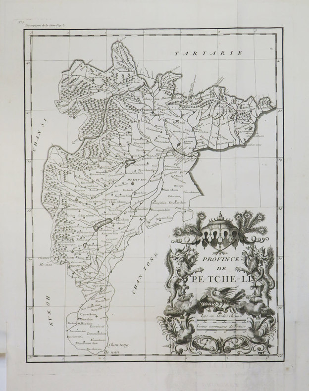
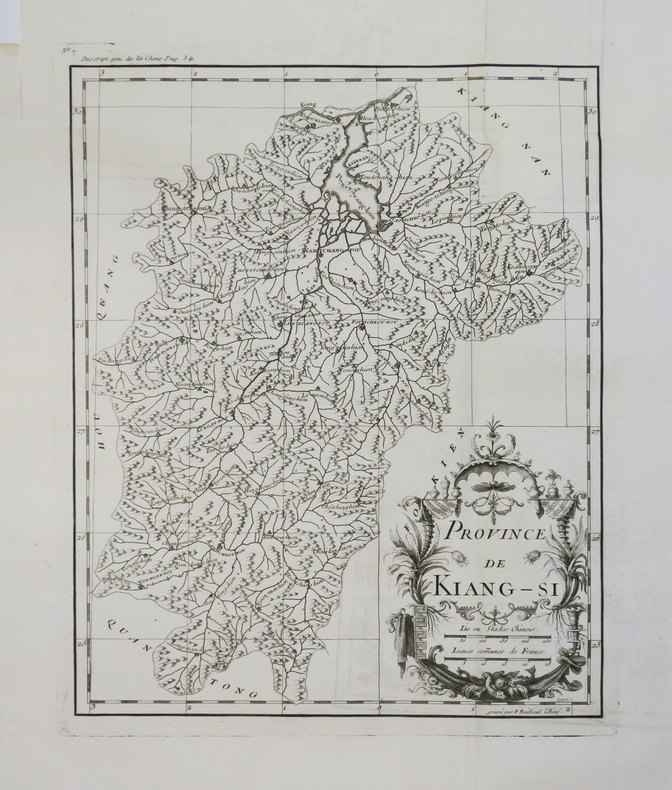
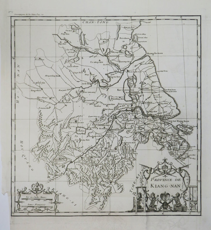
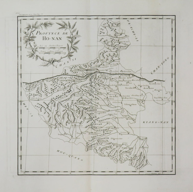
178842928Paris, chez l'auteur, Ponce, [1788]. In-4 de 1 page de titre, 24 planches, 24 pages de textes explicatifs en regard de chaque planche, demi-maroquin bordeaux, dos lisse orné, tête dorée (reliure du XIXe siècle).
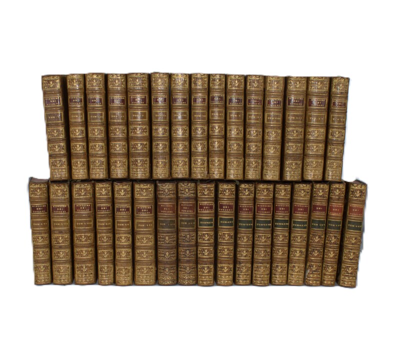
1780PHO-2387Paris, Hôtel de Thou, Laporte, Moutardier, 1780/1801, 32 volumes in-8, basane époque, guirlande sur les plats, dos ornés, pièces de titre rouge et pour les tomes 22 à 32 ; pièces de tomaison vertes, triples filets aux plats, tranches rouges, fleurons légèrement différents pour les tomes 22 et 23. Quelques accidents aux coiffes, quelques épidermures au supplément, légers manques de matières sur quelques tomes, mouillure très claire sur quelques feuillets (2 tomes), le tout sans gravité. Ex-libris du Comte de Farcy de la Villedubois au dos du premier plat. Belle édition de l’Abrégé de l’Histoire des Voyages, elle se compose des 21 premiers volumes de 1780 publiés par La Harpe à l’Hôtel de Thou, des 2 volumes publiés en 1786 consacrés au troisième voyage de Cook et formant les volumes 22 et 23, chez Laporte, et des 9 volumes de suppléments publiés entre 1798 et 1801 par Delpuech-Comeiras et imprimé chez Moutardier. L’illustration est formée de l'atlas complet des 74 (+1 en double) cartes dépliantes des diverses parties du monde, dont la Carte dépliante de l'hémisphère austral montrant les routes des navigateurs les plus célèbres par James Cook, une carte de Tahiti, d'autres du Kamtchatka, du Spitzberg, des îles Antilles, etc, et de 4 cartes pour les tomes 22 à32 ainsi que 101 planches dont certaines dépliantes, les cartes et gravures en très bel état.
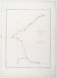
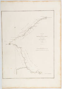
1796209283London.: George Nicol. 1796. Engraved copperplate map on Whatman paper 43.8 x 33.6 cm; 57 x 42 cm sheet including plate markscale in nautical and English miles; light undulation to sheet marginal toning and edgewear but in very good condition. Finely engraved and detailed map of two routes to Pekin Beijing along the White River Baihe from the Gulf of Petcheli and along the Imperial Highway from Jehol and includes commentary locating palaces and gardens type of cultivation "many barges" and "the road shaded by willow trees". The map elegantly drawn by Henry William Parish was published in George Staunton's account of Earl Macartney's embassy to China 1792-1794. . George Nicol. unknown
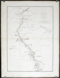
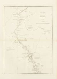
1796207049London.: George Nicol. 1796. Double-sheet engraved copperplate map 63.2 x 44.8 cm; 75 x 57 cms sheet including platemark central fold the sheet toned at the edges and central fold a couple of minor spots and edge wear but in very good condition. An exquisitely engraved map with fine detail of the route taken by George Macartney on the first official British embassy to China 1792-1794 undertaken with the aim of gaining trade concessions from the Chinese Emperor and published in George Staunton's officall account. <br> <br>While the official purpose was not successful much was learned about China and the Chinese as is evident from this map with its explanatory texts. To the west of Pekin just below the starting point at Zhe-hol Jehol which is situated at the top of this map the commentary reads: "A great part of the country around Pekin is employed in the production of culinary vegetables and a variety of fruits." At the lower edge of the map just north of the ending point of Hangzhou is the lake Tai Hoo: "The western side of the Tai-hoo is bounded by a very romantic and fertile country whose mountains are clutivated to their very tops. A great part of the province of Tche-tchiang appears to be cultivated with Mulberry trees for the food of the Silk worms." Cities of the 1st 2nd and 3rd orders "considerable towns" and villages are marked along with "Halting places" etc. Fascinating Western documentation of the area around the Imperial Canal of the late Eighteenth Century. . George Nicol. unknown
1796197217London.: George Nicol. 1796. Engraved copperplate map on Whatman paper 43.8 x 33.6 cm; 57 x 38.5 cm sheet scale in nautical and English miles; light undulation to sheet marginal toning and edgewear a couple of rust spots to the blank of the map's lower corner trimmed to the border on the inner margin but in very good condition. Finely engraved and detailed map of two routes to Pekin Beijing along the White River Baihe River from the Gulph of Petcheli and along the Imperial Highway from Jehol and includes commentary locating palaces and gardens type of cultivation "many barges" and "the road shaded by willow trees". The map elegantly drawn by Henry William Parish was published in George Staunton's account of Earl Macartney's embassy to China 1792-1794. . George Nicol. unknown
1796143663London: George Nicol 1796. Very Good. London George Nicol April 12th 1796. A large engraved map printed surface 640 × 451 mm sheet size 812 × 557 mm. Engraved by B. Baker. Horizontal centrefold crease as issued; occasional spots of foxing mainly in the margins; two small faint stains to the left-hand margin well clear of the printed surface; old guard on the verso with some light associated tanning on the recto about the fold; in excellent condition with wide margins. John Barrow later first Baronet was attached to the first British diplomatic mission to China led by George Macartney in 1792-94. The map is plate 9 from the atlas to the official account of the embassy George Staunton's 'An Authentic Account of an Embassy from the King of Great Britain to the Emperor of China .'. <p>The journey shown here was from Chengde formerly Jehol to Beijing and then south to Hangzhou along the Grand Canal. While Macartney failed to secure any concessions from the Qianlong Emperor the expedition nevertheless collected important information about the geography culture population and politics of the Chinese Empire. George Nicol unknown
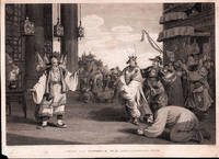
1796198465London.: G. Nicol. April 121796. Copper-plate engraving 24 x 35.3cms image; 26.7x 36.7cms sheet sheet age-toned and margins worn small chip from lower left corner not affecting the image two spots of browning in the sky very faint the image in good condition. An elegant composition after drawings by William Alexander published in Sir George Staunton's two-volume "Account of the Embassy from the King of Great Britain to the Emperor of China" published in London 1796-97. . G. Nicol. unknown
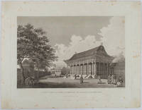
1796177641London. 1796. Large format engraving 23.9 x 35.9 cm; 35.9 x 46 cm sheet including caption and platemark spots of browning to the image affecting the sky and marginal foxing old paper abrasions to the verso the sheet a little creased and dusty but a strong dark impression in very good condition. Fine detailed engraving after a drawing by the artist William Alexander 1767-1816 of the sumptuous Hall of Audience to the Summer Palace prepared as plate 22 for the folio atlas to George Staunton's account of the Macartney Embassy to China of 1793. Staunton's commentary noted its magnificence: "Its projecting roof was supported upon two rows of large wooden columns the shafts of which were painted red and varnished; and the capitals ornamented with various scrolls and devices in vivid colouring particularly with dragons.". The engraver William Lowry 1762- 1824 specialised in architectural engravings and was later a member of the Royal Society. <br> <br>From the Estate of the late collector and scholar Arthur Hacker. . unknown
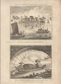
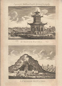
1779178310London. circa1779. A pair of engravings on a single sheet of laid paper each 14 x 15 cm including captions; 37 x 23 cm sheet the sheet with scattered spotting and toning mainly affecting the margins but in very good condition. This engraving appeared in Middleton's "New & Complete System of Geography" 1779 and is an example of the demand for publishers to supply views of the East and exotic "New Worlds". The late-seventeenth and eighteenth centuries had seen a dramatic increase in the publication of voyage accounts and compilations and collections on the London book market. <br> <br>From the Estate of the late collector and scholar Arthur Hacker. . unknown
1779178311London. circa1779. A pair of engravings on a single sheet of laid paper each 13 x 16.4 cm including captions; 37 x 23 cm sheet the sheet with scattered spotting and toning mainly affecting the margins in original uncoloured state as issued in very good condition. This engraving appeared in Middleton's "New & Complete System of Geography" 1779 and is an example of the demand for publishers to supply views of the East and exotic "New Worlds". The late-seventeenth and eighteenth centuries had seen a dramatic increase in the publication of voyage accounts and compilations and collections on the London book market. <br> <br>From the Estate of the late collector and scholar Arthur Hacker. . unknown
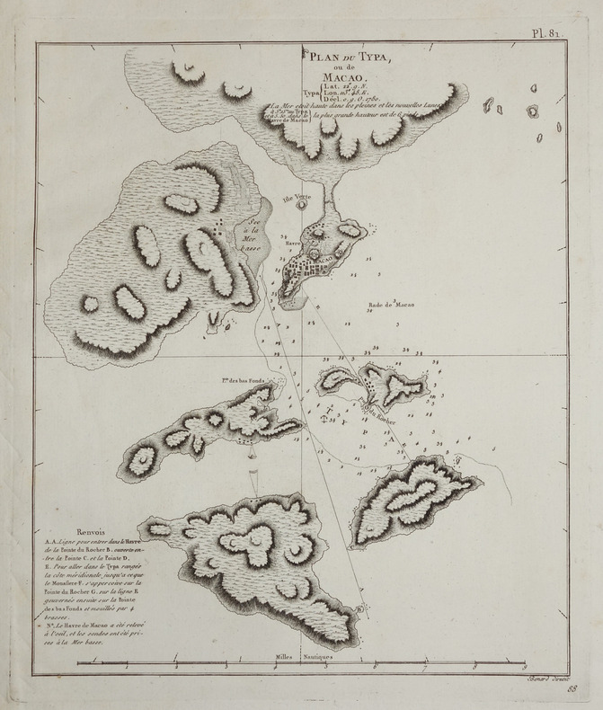
173816232London: Edward Cave at St. John's Gate 1738. Very good condition. A map of the entrance to Canton with Macau Ma-kau and the islands on the approach pictured with depth soundings and an inset "Plan of Quang-Chew Fu commonly called Kanton". Copper engraved map 9 3/8 x 14 1/2" with sml margins a little ruffled with slt. margin loss. The map is from the Edward Cave folio edition of Du Halde's important encyclopedic work on Chinese culture history and society "A Description of the Empire of China and Chinese-Tartary Together with the Kingdoms of Korea and Tibet" by a French Jesuit who specialized in China. Du Halde's work inspired great interest in China among Europeans and was a ground breaking work in geography. The Du Halde book is referred to in Cordier BS 50; Löwendahl 409; Lust 15. Edward Cave, at St. John's Gate unknown
1775LBW-643[1775-1781]. 662 x 481 mm.
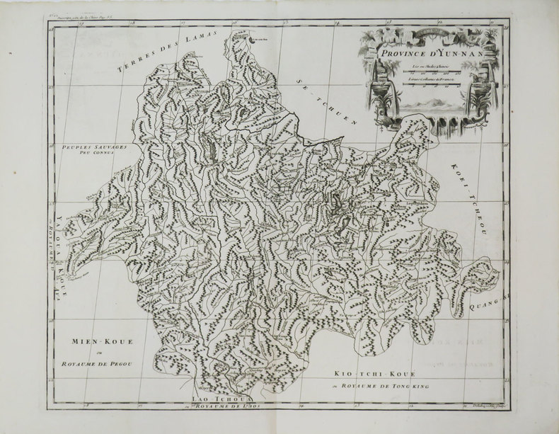
1785LBW-3659[1785]. 257 x 237 mm.
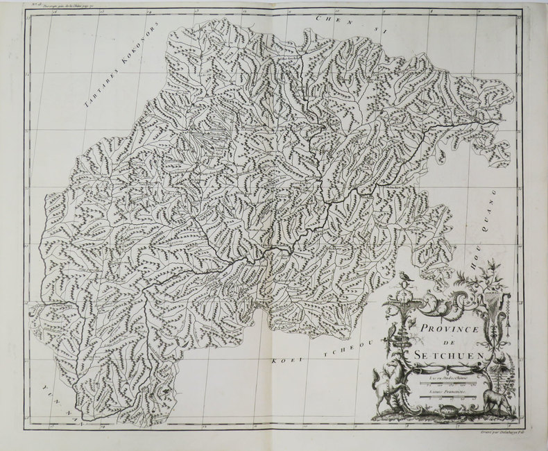
1785LBW-3655[1785]. 370 x 439 mm.
1785LBW-3657[1785]. 410 x 481 mm.
1785LBW-3645[1785]. 358 x 248 mm.
1785LBW-3635[1785]. 231 x 370 mm.
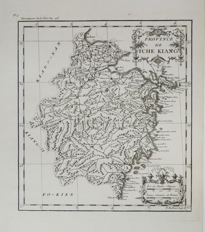
1737LBW-635[Paris, 1737]. 376 x 290 mm.
1785LBW-3634[1785]. 366 x 465 mm.
1785LBW-3652[1785]. 374 x 290 mm.
1785LBW-28601785. 255 x 213 mm.
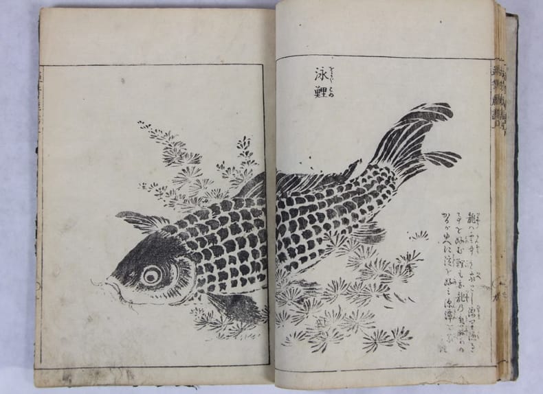
1749137007[ Osaka: Shibukawa Seiemon; Edo: Nishimura Genroku, 1749] 1749 26 x 18.2 cm . Reliure japonaise et étiquette d’origine, Premier volume seul, sur 3. 24 ff. 48 pp. 9 pp. de texte, 17 illustrations à double page, 5 à une page..Couverture fanée. Quelques ternissures en pied. Absence de colophon.
1785LBW-3661[1785]. 338 x 275 mm.
1785LBW-3662[1785]. 338 x 275 mm.
1785LBW-3660[1785]. 324 x 322 mm.