1 955 résultats
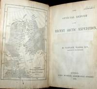
187661115030126John Murray London 1876. First Edition. Hardcover. Good Condition/No Dust Jacket. Report to the Admiralty of the expedition that left Upernivick on 22 July 1875 and returning in October 1876. This is an ex-library copy with flaws as described. Black half-leather binding with banded spine and dark blue covers are lightly rubbed at edges binding is sound with strengthened inner hinges. Crossed and stamped large library label is pasted to the inside of the front cover additional end-papers darkened no half-title-page frontis map has been pasted to previous end-paper with resultant wrinkles on both surfaces and a stamp of "Free Public Library Westminster S.W." on the obverse of the frontis shows through the pasted end-paper although not visible from the map. Title-page is darkened has a crossed out reference number in the upper leading corner and a psted paper rectangle covering a "Free Public Library Westminster S.W." stamp small feint stamp on reverse and short closed tear approx 1cm on leading edge. Pages are little darkened with some smudge marks mainly in margins page 84 to 91have a very small ink mark on the lower corner "Free Public Library Westminster S.W." stamp acorss the bottom of the final page. Quantity Available: 1. Shipped Weight: under 1 kg. Pictures of this item not already displayed here available upon request. Inventory No: 61115030126. All our books music and maps are sent by a tracked mail service. John Murray hardcover
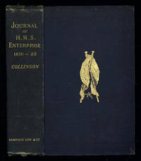
1889035576London: Sampson Low Marston Searle & Rivington. 1889. 1st Edition 1st Printing. Hardcover. Good/No Jacket. 8vo - over 7¾ - 9¾" tall. Good. Publishers cloth embossed with gilt lettering and emblem to upper cover. Front hinge cracked. Gift inscription in contemporaneous hand to free front endpaper. A touch of foxing. Two of the maps have a dog-eared fore-edge where they have not been folded quite flush with the page edges. Illustrated with tissue-guarded colour frontispiece of the ship tissue-guarded portrait of the author and 6 fold-out maps. xi i 531pp 32pp of publishers ads to rear. FIRST EDITION of the posthumously published journal by the captain who came closest to the site where Franklin's expedition ended. "In 1849 Collinson was appointed to command an expedition for the relief of Sir John Franklin by way of the Bering Strait; he himself had command of the Enterprise and with him was Commander Robert Le Mesurier McClure in the Investigator. The two ships sailed together from Plymouth on 20 January 1850 but unfortunately separated in the neighbourhood of Cape Horn and did not meet again. The Enterprise passed Point Barrow Alaska on 21 August but the ice forced Collinson to return south and winter in Hong Kong. In 1851 he was again hampered by ice and in 1852 was frozen in at Cambridge Bay for the winter. In 1853 the Enterprise was caught in the ice at Camden Bay and there passed a third winter. She reached Point Barrow on 8 August 1854 after being shut up in the Arctic entirely on her own resources for upwards of three years. Of the many who had searched for Franklin Collinson came closest to the place where the expedition had ended. Collinson's addition to geographical knowledge on this Arctic trip was very considerable and would have been tantamount to the discovery of the north-west passage had this not been already actually achieved by the men of the Investigator" DNB. Arctic Bibliography 3351; Hill 337; Ricks p 68; Tourville 986. <br/> <br/> Sampson Low, Marston, Searle, & Rivington. hardcover
1905032685Macmillan, London 1905. Hardcover Sehr gut
50059aafCarrère - Lorilien, 1985, gr. in-8vo, 1 planche de titre + 1 f. (lettre impr.) + 7 planches sur papier épais en couleur par Carrère. en feuilles, couverture cart. ill., avec dos en toile,
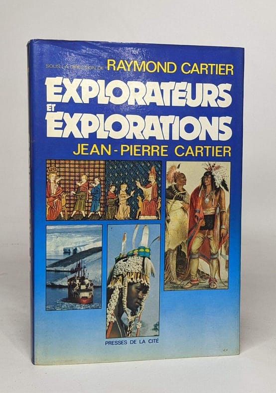
1989100116836Presses de la Cité 1989 370 pages in8. 1989. Cartonné jaquette. 370 pages.
1954100073971Le club français du livre 1954 in8. 1954. Cartonné.
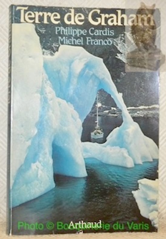
104394Paris, Les Editions Arthaud 1984, 235x150mm, 169pages, broché. Bel exemplaire.
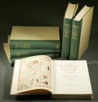
1957E0551<p><strong>From the Spanish discovery to the opening of the Civil War</strong><br /><br />5 volumes in 6. Volume One: The Spanish Entrada to the Louisiana Purchase 1540-1804 xiv264 pages with color frontispiece map and 275 maps many folding and index; Volume Two: From Lewis and Clark to Fremont 1804-1845 xiii281 pages with colored frontispiece map 143 additional maps some folding and index. Volume Three: From the Mexican War to the Boundary Surveys 1846-1854 xiii349 pages with colored frontispiece map 322 additional maps and index; Volume Four: From the Pacific Railroad Surveys to the Onset of the Civil War 1855-1860 xiii260 pages with color frontispiece map an additional 127 maps some folding and index; Volume Five From the Civil War to the Geological Survey Part One: xviii222 pages with color frontispiece map and an additional 152 maps; Volume Five From the Civil War to the Geological Survey Part Two: 223-487 pages with 124 maps and index. Folio 14 1/2" x 10 1/2" bound in quarter green leather with gilt lettering to spines. volume I printed by the Grabhorn Press; volumes II-V printed by Taylor & Taylor and James Printing based on the designs of Edwin and Robert Grabhorn. First edition limited to 1000 copies.<br /><br />Carl Wheat's Mapping of the Trans-Mississippi West is a comprehensive and readable cartographic history of the American West. The first three volumes of the work are by necessity bulky and out sized to accommodate the many maps contained with their covers. These beautifully printed books present a truly graphic picture of the exploration and peopling of the vast unknown land west of the Mississippi. The author does not merely present a catalog of significant maps of each era but tells the exciting story of many facets of history that resulted in their making-of the hard journeys the hazardous exploits the motivation the mysticism the misunderstandings and the strange blend of fact imagination false geographic concept and political necessity which were consummated in the engraver's work. These volumes will provide exciting text for the casual reader and have become eminent source book for the student and scholar.<br /><br /><strong>Condition:</strong><br /><br />A near fine set. Due to the size and/or weight of this lot extra shipping and/or handling charges may apply.</p> Institute of Historical Cartography hardcover
1596für einen Buchclub Stuttgart u.a, Lizenzausgabe. 328 S., geprägter OLn m. OU, farbiger Kopfschnitt. Ordentliches Exemplar. Lizenzausgabe des Erdmann Verlags, Tübingen. Good copy.
1459Paris, Julliard, 1949 ; in-8, demi-percaline bordeau, pièce de titre, couvertures et dos conservés. 4 cartes dépliantes.
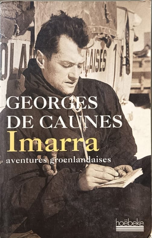
199911456Hoëbeke 1999 288 pages 15x24x2cm. 1999. Broché. 288 pages.
42038Grenoble - Paris Arthaud 1949 in 8 (19x14) 1 volume broché, 230 pages [1], avec 45 heliogravures. Préface de Paul-Emile Victor. Bel exemplaire
195118832Grenoble & Paris Arthaud 1951 broché 230 pp, trace de scotch en coiffe jaquette, sinon bon état
2007214055Serpent à plumes (Le) 2007 345 pages in12. 2007. Broché. 345 pages.
195628075Leipzig, VEB F.A. Brockhaus Verlag, 1956. 242 Seiten , 21 cm, Leinen
1952100117266Plon 1952 in8. 1952. Broché.
101913Bruges, Librairie de l’Oeuvre Saint-Charles 1937, 260x175mm, frontispice, XVI - 207pages, broché. Bel exemplaire.
1989100092265Acl Crocus 1989 11x17x3cm. 1989. Cartonné. iconographie en noir et blanc et en couleurs
3817, Expedition der Wochenbande, Stuttgart, 1847.**, Halbleinen, 10x16cm, 252pp. illustrationen z/w.
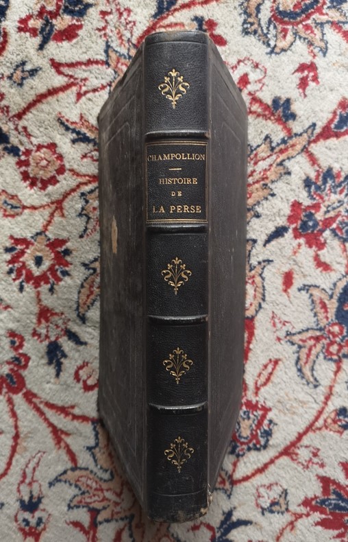
1860P2-2A-6Paris, Arbaud de Vresse, 1860. In-4°, plein chagrin noir éditeur, dos à 4 nerfs, titre doré, 446pp., illustré de 5 planches couleurs, tranches dorées, coins usés, rousseurs. 446 pgs and five lithographies enhanced with colour. Original red cloth dinding with spine richly gilt in fine condition. Internally some very light spotting in text. The lithographies in good condition. Edges gilt. A very attractive copy of this book written by the brother of the discoverer of hieroglyphs.
17791399Venetiis (Venise), Apud Franciscum Sansoni, 1779. In-folio - 26,5x37cm. Reliure postérieure (XIXe) en demi-chagrin vert, dos à 4 nerfs orné de filet, pointillés, dentelle et fleurons dorés. (2 ff.) - 608 pp. Ouvrage en latin orné de lettrines et culs-de-lampe. Ultime publication du prêtre jésuite et historien Pierre-Francois-Xavier de Charlevoix (1682-1761). Il y aborde notamment la colonisation espagnole en Amérique. Cet ouvrage relate l'histoire du Centre de l'Amérique du Sud : Paraguay, Bolivie, Brésil, Uruguay, Argentine. Sabine 12131. Leclerc 1882 : "Cette traduction latine, anonyme, est du Père Dominique Muriel, espagnol. Elle est plus complète que l’édition française. Le Père Muriel y a ajouté de nombreuses notes".Cette édition ne comporte pas de carte. Ouvrage de toute rareté.
18829Paris, Le Normant, 1811. 3 vol. in-8, CIX-277 pp. + 413 pp. + 370-8 pp. 1 pl., basane racinée havane, dos long orné de frises et fleurons dorés, pièce de titre rouge, pièce de tomaison verte, tranches jaunes (trous de vers, épidermures, quelques petites rousseurs ou taches, une pâle mouillure aux derniers ff. du 2e tome, carte manquante)
1935141521935 Bruges, librairie de l'Oeuvre St Charles, 1935, 1 vol. grand in-8° (244 x 162 mm) broché sous couverture illustrée, de 208 pp.Très bel exemplaire.
1975259541Chiron 1975 175 pages in8. 1975. Broché. 175 pages. illustrations en couleurs et en noir et blanc
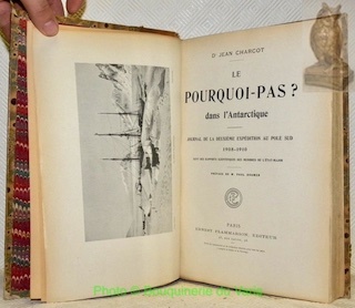
101738Paris, Ernest Flammarion 1910, 290x200mm, VII - 428pages, reliure demi-chagrin avec auteur, titre, fluerons, filets, encadrements et ornementations dorés au dos. Plats papier marbré. Tranche supérieure dorée. Coiffes supérieure usées, dos insolé et inscriptions manuscrites sur les hauts des pages de garde, autrement bel exemplaire, intérieur propre.