166 résultats
20061345881PN. New. 2006. Soft Cover. This is a reprint edition. . PN paperback
20061345438PN. New. 2006. Soft Cover. PN paperback
20061345082PN. New. 2006. Soft Cover. md . PN paperback
2013100143291PAPERBACKSHOP UK IMPORT 2013 248 pages in8. 2013. Cartonné. 248 pages.
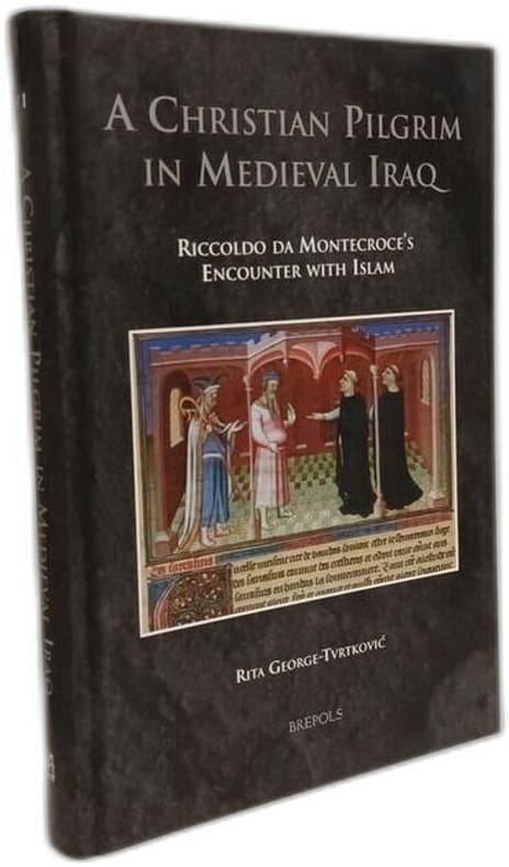
2014100148718Brill Academic Pub 2014 618 pages 16 4x3 8x23 4cm. 2014. Relié. 618 pages.
2003100150695Peeters Publishers 2003 47 pages 15 748x0 508x23 876cm. 2003. Broché. 47 pages.
20131355703PN. New. 2013. Soft Cover. Date is original print. This is a reprint edition. . PN paperback
2007100146243Gorgias Press 2007 182 pages in8. 2007. Cartonné. 182 pages.
200727633(London), Trolley, (2007). Mit einem Text von Mike Farrell und sehr zahlreichen, z.T. farbigen, z.T. ganzseitigen Fotoabbildungen. 21,5/30 cm. 42,2 S. Farb. ill. OPappband. Recht schön.
2018X107034München, Bayerische Akademie der Wissenschaften 2018 432pp. with 721 illustrations, in the series "Abhandlungen der Bayerischen Akademie der Wissenschaften" Neue Folge 143, publisher's hardcover binding, 30cm., ISBN 978-3-7696-0129-9, fine condition (as new), weight: 1.7kg., X107034
20131356531PN. New. 2013. Soft Cover. Date is original print. This is a reprint edition. . PN paperback
2024x-1032524871Chapman & Hall 2024. Hardcover. New. 248 pages. 9.19x6.13x9.21 inches. Chapman & Hall hardcover
2018BN208250Neuer Folkwang Verlag 2018. 2018. Nuri Irak - Malerei Fotografie Grafik <br/><br/>Nuri Irak - Malerei Fotografie Grafik Tayfun Belgin Hrsg.; Nuri Irak Künstler; Osthaus Museum Hagen Veranstalter Neuer Folkwang Verlag unknown
200487417Frankfurt a. M. Eichborn Verlag, 2004. 432, [8] S. Mit zahlr. Abb. u. Kartenskizzen (= Die Andere Bibliothek, Bd 234). 21,5 cm. OLn m. illustr. Orig.-Halbschuber u. illustr. Vorsätzen.
2019x-0367249715Routledge 2019. Hardcover. New. 183 pages. 9.25x6.25x0.75 inches. Routledge hardcover
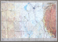
2002162482London: DGIA Ministry of Defence 2002. First edition stretching from Baghdad to Basrah and showing all of Kuwait. The sheet was likely issued to RAF pilots in the run up to the Iraq War and is printed on rayon for ease of use and durability. These charts produced by the Defence Geographic and Imagery Intelligence Agency feature many warnings about flying within controlled airspace in Iraq and Saudi Arabia. The RAF flew many missions over this region in the lead-up to the Second Gulf War and in Operation Telic. "The first documented intimations of UK involvement in the operation that became Telic can be traced to March 2002. In May the Chief of the Defence Staff CDS was advised of a potential RAF contribution to a future operation in Iraq comprising 88 fast jets and 38 support platforms - more aircraft than the RAF had deployed on a single operation since the First Gulf War and more in all probability than it will ever deploy again" Ritchie p. 5. A formal plan was drafted in August to overwhelm Hussein's government through multiple co-ordinated fronts of which the RAF's role was to eradicate the enemy air force destroy equipment support ground forces and strike important targets to shock the Iraqi people. According to the key there was another sheet issued charting northern Iraq. Single sheet of rayon 912 x 1300 mm colour map with key on recto and verso. Sometime folded and thinning along lines: a near-fine copy. Sebastian Ritchie "The Royal Air Force in Operation Telic: Offensive Air Power March-April 2003" 2021. unknown