3 525 résultats
First edition. Period springboard binder, with all original illustrated paper wrappers bound in (easily removed without damage if preferred) . 4to. About 4-8 pages each, except for final issue, which has 20 pages; 22 cm. A continuation of the News Bulletin from 1938-1946. A nearly complete DP-era run of the News Bulletin Published by American Friends of the Hebrew University in Jerusalem from 1948-1953. Each edition packed with dozens of black-and-white photographs of students, professors, and honorees at the university. Includes articles on dozens of important scientists, academics, and organizational leaders including Albert Einstein, Chaim Weizmann, and David Ben-Gurion. The Indian Jews of Mexico know little of Jewish religion, though they gather in their synagogues on Saturdays and Jewish holidays to pray (mostly in Spanish) and to sing hymns in Spanish and Hebrew. Their Jewish consciousness is very strong, however, and when intermarriage takes place between one of them and a Catholic Indian, the non-Jewish partner is usually converted to Judaism and brought into the congregation. Aimed primarily at building political and financial support for the University within American Jewry, the publication is very slick and appealing to look at. SUBJECT(S) : Periodicals, Science, Hebrew University. OCLC and WorldCat list 14 holdings worldwide. Overall, very good + condition. Mild edgewear. Minimal rubbing and markings. Minimal pencil markings and library stamps on Vol. VI. No. 1+6. (ZION-51-63)

0282523952.Gpaperback. Good. Access codes and supplements are not guaranteed with used items. May be an ex-library book. paperback
0332923797.Ghardcover. Good. Access codes and supplements are not guaranteed with used items. May be an ex-library book. hardcover
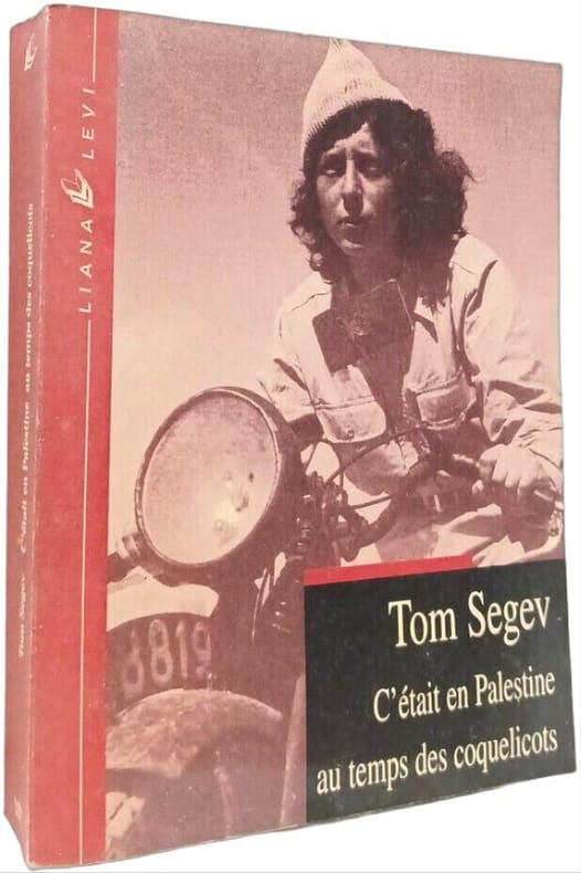
2000100146403LEVI 2000 16x3 2x20 4cm. 2000. Broché. L'ouvrage de l'historien israélien Tom Segev retrace l'histoire de la Palestine durant la période du Mandat britannique (1918-1948). Il détaille les événements comme la déclaration Balfour et le rôle des Britanniques qui ont conduit à la création de l'État d'Israël et au conflit israélo-palestinien qui en a découlé
1978972691978 N° 289 de Juin 1978 - Grand in-8 Broché - En couverture : Herman Slobbe (L'Enfant aveugle 2), de Johan van der Keuken - Revue illustrée - 72 pages
1979LFA-126748553Revue de 64 pages, format 190 x 190 mm, illustrée, brochée, publiée en 1979, Editions du Cerf, bon état
17584de l'Université de Paris. Paris. Maisonneuve. 19848-1949. Deux fascisules in-8 (25x16). 85-72 pages. Brochés.
474, xvii p. Hardcover Very good condition
8vo., First Edition, with 17 plates on 8, a full-page portrait, full-page illustration and 7 full-page maps in the text; red cloth, gilt back, a fine copy in unclipped dustwrapper. The author's service included Palestine, SE Asia, Malaya, Singapore, Tunisia, Cyprus, Jamaica and Aden and covers pre-WWII regimental soldiering to the modern TA. Already uncommon in this condition.
1371463Paris: Librairie Victor Lecoffre, 1907 in-8, xii-494 p., 11 pl. hors texte, 310 fig. dans le texte. Demi basane brune, dos à nerfs, orné à froid. Bel exemplaire.
Map. 1st Edition. Framed and matted. 9 X 7.5 inches. In English. An original copper-engraved map of Palestine by the legendary cartographer Herman Moll circa 1709, and later hand-colored. Herman Moll (1654 1732) , was a London cartographer, engraver, and publisher . Moll's exact place of origin is unknown, although his birth year is generally accepted to be the year 1654. He moved to England in 1678 and opened a book and map store in London Moll's maps were in his lifetime and after very influential, and are still among the most sought after aesthetic engravings in the history of cartography. (Wikipedia, 2017) OCLC lists 1 copy worldwide (Bayerische Staatsbibliothek) . Also digitized at NLI, see: Laor 499. Very good condition. (ART-26-5)
291 pages. Footnotes. Bibliography. Index. Signed and inscribed by author atop title page. "Hardly the champion of Zionism that it has generally been considered, Canada is revealed in Bercuson's study as having established a middle east policy, not on moral or ideological grounds, but on the basis of the politicians' view of its own national interests." - from dust jacket. Book clean, bright and unmarked with negligible wear. Very light wear to dust jacket which is partially sunned at spine. An excellent copy of this important reference. Book
Mm 115x180 Collana "Nuovissima versione della Bibbia dai testi originali" - Brossura originale, 140 pagine. Copia in condizioni pari al nuovo; spedizione in 24 ore dalla conferma dell'ordine.
1920753901920 Paris, Picard, 1921, in 8° broché, XV-295 pages ; non coupé ; couvetrure légèrement fanée.
50119Japon.1923.In-8 toilé bleu.Photos.TBE.
ML2372P, PUF, 1955 , gr in8br, 248pp, non coupé, 1 carte dépl hors texte Langue: Français
PARIS, P.U.F., 1955 - In-8 - Broch& - couverture illustrée - 1 carte dépliante in-fine HT - 248 pages - Ex. non coupé - Très propre
14019PARIS, P.U.F., 1955 - In-8 - Broch& - couverture illustrée - 1 carte dépliante in-fine HT - 248 pages - Ex. non coupé - Très propre
182812889Florenz, Giuseppe Galletti, 1828. Kupferstich. Blattgröße: 42,5 x 50,5 cm, Druckspiegel: 29 x 43,5 cm. [2 Warenabbildungen]
007890Elian J Finbert (1899-1977), homme de lettres d'origine juive (né en Palestine). C.A.S., sd, 11 lignes. A Jean Delbousquet dit Jean de Cordestieux. « je m'excuse, mon cher confrère, d'acquiescer si tard au désir que vous m'exprimez dans votre lettre. J'étais absent de Paris. Veuillez croire, mon cher confrère, à mes sentiments les meilleurs. EJFinbert ». [170b]
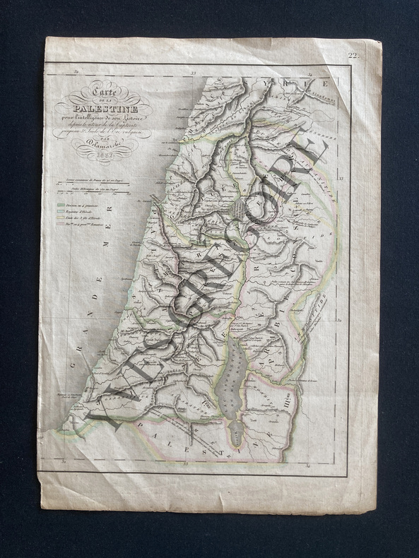
ABE-1290158475FORMAT 22X29-COULEURS-CARTE DE LA PALESTINE POUR L'INTELLIGENCE DE SON HISTOIRE DEPUIS LES TEMPS LES PLUS RECULES JUSQU'AU RETOUR DE LA CAPTIVITE DE BABYLONE EN 536 AV. J.C.-PAR FELIX DELAMARCHE SUCCESSEUR DE ROBERT DE VAUGONDY, GEOGRAPHE DU ROI-TIREE DE L'ATLAS DE GEOGRAPHIE ANCIENNE, DU MOYEN AGE ET MODERNE-IMPRIMERIE DE MME PORTHMANN
ABE-8520433857"DEPUIS LE RETOUR DE LA CAPTIVITE JUSQU'AU 5e SIECLE DE L'ERE VULGAIRE"-21 CM X 28 CM-FRONTIERES COULEURS
1930146543- Une feuille 24 x32 cm.
Carta geografica della Terra Santa, divisa nelle dodici tribù d'Israele. Coloritura coeva, piega centrale editoriale
Carta geografica, antica ed originale, in coloritura coeva che rappresenta la mappa della strada percorsa dagli ebrei dalla loro partenza dall'Egitto fino al loro ingresso nel paese di Chanaan. La mappa proviene dall'atlante geografico universale per servire la storia universale della chiesa cattolica. Autore: Dufour Auguste Henri 1795-1865. Luogo: Palestina - Sinai. Anno: 1861. Tecnica: litografia. Dimensioni: 430x570 il foglio. Piega editoriale