TAPRELL DORLING, Henry (Captain) - Traduction de L. DriartLivre Rare Book
3 550 résultats
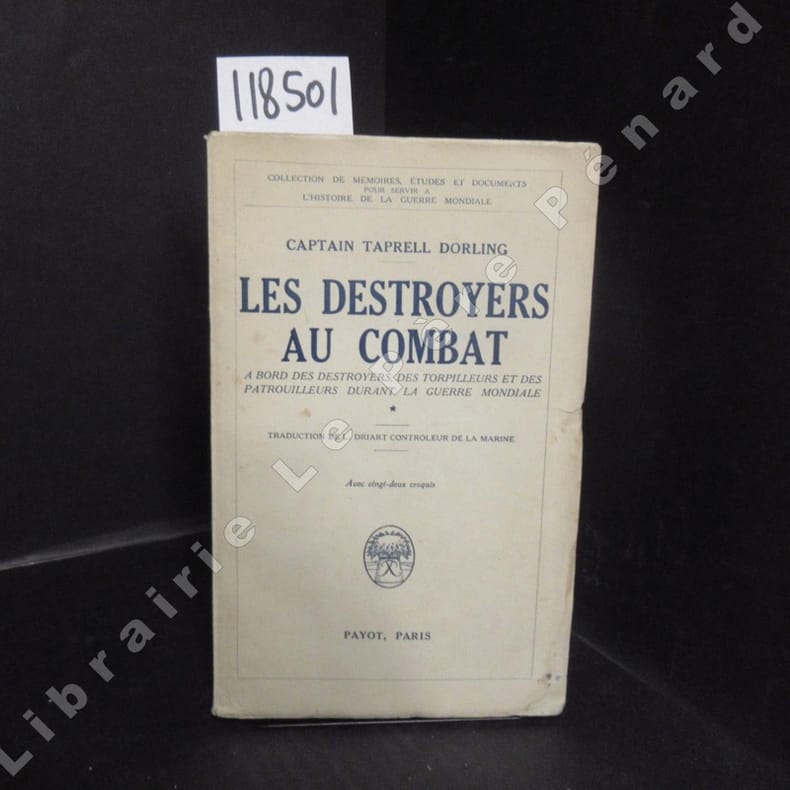
19361185011936 Editions Payot, collection de "Mémoires, études et documents pour servir à l'histoire de la Guerre Mondiale" - 1936 - In-8, broché - 245 pages - Avec vingt-deux croquis en N&B
2009204824Couverture souple. Broché. 268 pages.
188719004Hachette 1887 Paris, librairie Hachette, 1887. Édition originale. Ouvrage illustré de 21 dessins de Jules Girardet dont un frontispice et 10 hors texte. In-12 de 352 pp. Reliure demi chagrin noir, dos lisse orné de filets dorés. Des rousseurs sur les tranches débordant rarement sur quelques marges, plats frottés. Bon exemplaire, malgré les défauts signalés.
8vo., First Edition, on laid paper, with a frontispiece, 110 plates on 94 and very numerous illustrations and diagrams (a number full-page) in the text, neat contemporary signature on front paste-down, one plate neatly reinforced at hinge with tape, some light spotting; original ribbed cloth blocked in blind, gilt back, covers very lightly faded and age-marked else a good, bright copy of an uncommon work. Published in Heinemann's valuable 'Conquests of Science' series, this is a serious and wide-ranging study notable for its detailed descriptions and profuse, high-quality plates and illustrations.
190021830Glasgow, James Brown & Son, Nautical Press, (ca. 1900). 8vo. With illustrations of code flags, semaphore, morse, and charts, rule of the road, etc. 197 p. Cloth binding, gilt lettering on the front. Spine faded. 1 stamp on the endpapers, 1 stamp on the title page.
1686PHO-2093Paris, Arnould Seneuze, Daniel Horthemels, 1686, in-4 (24,5x19cm): 16ff.-424pp. 8ff., illustré de 20 planches dont certaines à double pages, gravées par Cornelis Vermeulen, d'après les dessins de P. Sevin, relié plein veau chiné, dos à nerfs orné avec titre, frottements, manques en tête et coiffe arasée, 1 coin usé, mouillure en coin sur une quinzaine de feuillets, une planche détachée, quelques brunissures et rousseurs.
287pp., signé avec dédicace par le co-auteur G. Taboulet, 23cm., brochure originale, bon état, [Gustave Viaud, Rochefort 1836- mort à Ceylan en 1865, chirurgien du marine français, il fut le premier photographe de Tahiti], G96229
Mémoire du navigateur; photos. Français
1961G96229Paris, Les éditions du Scorpion 1961 287pp., signé avec dédicace par le co-auteur G. Taboulet, 23cm., brochure originale, bon état, [Gustave Viaud, Rochefort 1836- mort à Ceylan en 1865, chirurgien du marine français, il fut le premier photographe de Tahiti], G96229
199713430Paris, Editions de Fallois, 1997 1 volume 15,4 x 22,5cm Broché sous couverture au 1er plat illustré couleurs. 347p., 2 feuillets; 16 planches hors-texte. Bon état.
8588Paris, Arthaud, 1964. Coll. "Mer". In-8 broché, couv. ill. à rabat, 302 p. 82 héliogravures. 46 dessins et cartes. Préface de Maurice Herzog. Avant-propos du Capitaine de Vaisseau de Kerviler. Très bon état.
Very Good Turkish, Ottoman (1500-1928) Paperback with original wrappers. Restored wrappers and spine masterfully. Roy. 8vo. (24 x 17 cm). In Ottoman script (Turkish with Arabic letters. 171, [1] p. Maps are missing. First and Only Edition of this early naval guide to the Mediterranean and Aegean Islands and shores prepared by Ottoman Admiral Süleyman Faik. Süleyman Faik, (1845-1909), was a general, after admiral and Chairman of the Turkish / Ottoman Navy General Staff, divisional. A comprehensive early printed guide to the Cezâyir-i Bahr-i Sefid [i.e. Ottoman Province of Archipelago] including the Aegean shores, the Archipelago, the Dardanelles, Rhodes, Cyprus, et alli. Only six copies in OCLC: 773143926, 67075343.; Özege 16579.; Not in ATYB: Askerî Tarih Yayinlari Bibliyografyasi [= Bibliography of Turkish History of Military Books].
Very Good Turkish, Ottoman (1500-1928) Contemporary handsome quarter leather binding raised four bands and gilt lettering to spine. Roy. 8vo. (24 x 17 cm). In Ottoman script (Old Turkish with Arabic letters. 171, [1] p., 15 folded maps. First and only edition of this early naval guide to the Mediterranean and Aegean Islands and shores prepared by the Ottoman Admiral Süleyman Faik. A comprehensive early printed guide to the Cezâyir-i Bahr-i Sefid [i.e. Ottoman Province of the Archipelago] including the descriptions of all islands in the Archipelago such as Patmos, Peraka, Paros, Delos, Ipsara, Acina, Sekino, Mikonos, Bozcaada (Tenedos), Istanköy (Kos), Imroz, Crete, Anti Paros, Alosis Islands with West and East of the Archipelago, and Edremit Bay, Doris Bay, Rafti Port, Aynaroz Bay; and Anatolian shores such as Izmir (Smyrna), Kusadasi, Gallipoli. This rare book has 15 folded portolan maps of Marmaris Port, Makri Port, Naghos Port, Karaagach (Ptelea, Evros in Greece) Port, Kakuve and Tertumos Ports, portolan of Iskenderun (Alexandrietta), portolan of Lazkiye (Al-Lazkiyya in Syria), portolan of Avret Island and Trablus-Sam, and portolan of Beirut and Sida. Süleyman Faik (1845-1909) was a general, and afterwards an admiral and a Chairman of the Turkish / Ottoman Navy General Staff, divisional. Only six copies in OCLC: 773143926, 67075343.; Özege 16579.; Not in ATYB: Askerî Tarih Yayinlari Bibliyografyasi [= Bibliography of Turkish History of Military Books].
Very Good Turkish, Ottoman (1500-1928) Original wrappers. Large roy. 8vo. (25 x 17 cm). In Ottoman script (Turkish with Arabic letters). [1], 39 p. First and Only Edition of the description of an early pilot guide to the Aegean Archipelago with the Mediterranean shores of Africa, Cyprus et alli, not including Morea (Peloponnese peninsula) which was published separately as 'Tarîfât-i Sevâhil-i Mora' [i.e. Description of the shores of Morea]. Admiral / General Süleyman Faik Pasha, who graduated from the Ottoman Naval Academy, was promoted to captain in 1864 after his travel to the Cape of Good Hope, and with the information, he obtained during this trip, he published and translated three guides, especially on the seas and coasts under Turkish / Ottoman rule. This early and rare book was one of his translations from its original pilot guide in English, printed in the Bahriye Matbaasi [i.e. The Press of the Turkish Naval Forces] located in Kasimpasa district which is a quarter within the Pera area of Constantinople, a low-lying area north of the Golden Horn. is one of the oldest residential areas in Istanbul with a strong naval tradition. The ships of Sultan Mehmed II sailed into the Golden Horn from this quarter. After the fall of Constantinople, Kasimpasa flourished. By the 16th century, it contained the Imperial Arsenal and docks of the Ottoman Navy, home to 120 ships. The Turkish Naval High School was founded in 1773 within a printing house shortly after foundation, to teach geometry and navigation to naval and civilian merchant captains on board a galleon anchored at Kasimpasa. The Turkish Naval Academy was housed in Kasimpasa from 1838 to 1850. Extremely rare. Only one copy in OCLC 1030771711 (Orient-Institut of Istanbul).; Özege 19742. Not in ATYB (Askerî Tarih Yayinlari Bibliyografyasi).
193817546Berlin, Mittler, 1938. 2., neubearb. und erw. Aufl. VIII, 223 S., 2 Bll. mit zahlr. Textabb. 1 farb. Tafel. 8°. OKart. (Gebrssprn.).
New New English Original bdg. Dust wrapper. Oblong folio. (23 x 33 cm). In English and Turkish. 207 p., B / w and color ills. The Bosphorus steamers of the Sirket-i Hayriye. = Sirket-i Hayriye'nin Bogaziçi vapurlari. The Bosphorus has always been a subject that occupied an extraordinary place both in the Turkish and in the World literatures. With its natural...
Zaragoza, 1965 [Separata de la Revista "Universidad"]. 4to.; 36 pp. Cubiertas originales.
1946117915Couverture rigide. En bon état. Cartonné. 192 pages.
1946117916Couverture rigide. En bon état. Cartonné. 192 pages.
M12368P , -Ecole pratique des Hautes études - Sorbonne , 1963 , in4° br , 169pp . " Contributions du Centre d ' Etudes Arctiques n° 2 " . Edition tapuscrite .
New English Paperback. Roy. 8vo. (24 x 17 cm). In English. 256 p. Introduction. "Piri Reis and Süleyman the Magnificent," in Süleyman the Second and His Time; ed. Halil Inalcik and Cemal Kafadar. Istanbul: Isis Press, 1993, pp. 343-52. "Piri Reis and the Ottoman Discovery of the Great Discoveries", in Studia Islamica, LXXIX (1994), p. 121-42. "Piri Reis and the Persian Gulf", lecture given at the "Uluslararasi Piri Reis Sempozyumu" organized by the Turkish Admiralty, Istanbul, 27-29 September 2004. "The Rise of the Barbarossas in North Africa", in Archivum Ottomanicum, 3 (1971), pp. 238-250. "Ottoman naval policy in the Indian Ocean", X. Tarih Kongresi'nden ayribasim, Ankara: Türk Tarih Kurumu Basimevi, 1993. "The Portuguese and the Turks in the Persian Gulf", lecture given at the Internation Conference "The Portuguese in Hormuz", held at the Gulbenkian Foundation, Paris, 15-17 March 2007. "Naval Aspects of the Ottoman Conquest of Rhodes, Cyprus and Crete", in Studia Islamica, 98/99 (2004), pp. 219-261. "The Strait of Chios and the Kaptanpasa's navy" in Halcyon Days in Crete IV. The Kapudan Pasha, His Office and His Domain. A Symposium Held in Rethymnon, 7-9 January 2000, ed. by Elizabeth Zachariadou. Rethymnon: Crete University Press, 2002, pp. 141-63. "The Ottoman Merchant Marine", in Studies in Honour of Clifford Edmund Bosworth, ed. Carole Hillenbrand. Vol. 2: The Sultan's Turret: Studies in Persian and Turkish Culture. Brill Academic Publishers, 1999, pp. 386-96. "Certain Types of Ships in Ottoman-Turkish Terminology" Turcica, v. 7 (1975), pp. 233-49. "M n®", Encyclopaedia of Islam, 2nd edition, v. 7 (1993), pp. 66-72. "Mil®ha", Encyclopaedia of Islam, 2nd ed., v. 7 (1993), pp. 40, 46 50. Ottoman Cartography (original text of an article whose abbreviated version is forthcoming in the Dictionnaire de l'Histoire Ottomane) "A Czech nobleman's pilgrimage to the Holy Land: 1493", in Turks, Hungarians and Kipchaks: A Festschrift in Honor of Tibor Halasi-Kun (Journal of Turkish Studies: Türklük Bilgisi Arastirmalari, v. 8, 1984, pp. 233-240). "Harant's Putowanj and Ali's Halat al-Qahire: a Comparison", in Festschrift Andreas Tietze zum 70. Geburtstag, Wiener Zeitschrift fur die Kunde des Morgenlandes, 76. Band, 1986, pp. 263-68. MAPS: The Ottoman Maritime Frontier in 1512 The Ottoman Maritime Frontier in 1574 .
New English In original cloth bdg. In publisher's original slip-case and box. Elephant folio. (48 x 33 cm). In Turkish. Many color and b/w ills. 264 p. 1513 World atlas of Piri Reis. A very heavy volume. Pîrî Reis 1513 dünya haritasi. XIII. yy. sonrasi Islâm-Osmanli haritaciligi. Edited by Bülent Özükan.
552pp.with numerous ills., 30cm., hardcover (editor's blue cloth), dustwrapper, very good condition, B85226
1986B85226Antwerp, MIM 1986 552pp.with numerous ills., 30cm., hardcover (editor's blue cloth), dustwrapper, very good condition, B85226
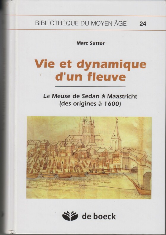
2006SPN-1023Bruxelles : Éditions De Boeck Université, "Bibliothèque du Moyen Age" N°24, 2006, 1e édition. Reliure éditeur 24,5x16,5cm, couverture illustrée couleur, 695 pages, documents en noir (plans, cartes, coupes...), glossaire, iconographie, index. Monographie scientifique compète sur le fleuve Meuse. [BE]