CollectifLivre Rare Book
1 048 résultats
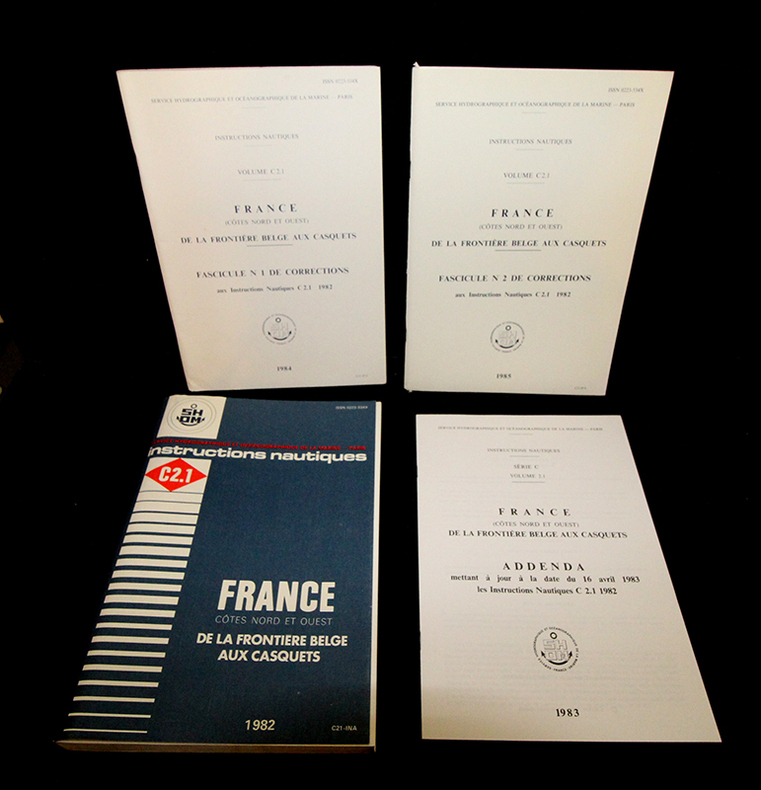
1985gf823Service hydrographique de la Marine Broché 1985 In-4 (19 x 27 cm), broché, 327 pages, iconographie en noir in et hors-texte, 327 pages, fascicule n°1 (1984) et 2 (1985) de corrections aux Instructions Nautiques C2.1 1982 + addenda mettant à jour à la date du 16 avril 1983 les instructions nautiques C2.1 1982 + 8 cartes dépliantes in fine ; coiffes et coins frottés, étiquette au 4ème plat, plats légèrement défraîchis, bel état général. Livraison a domicile (La Poste) ou en Mondial Relay sur simple demande.
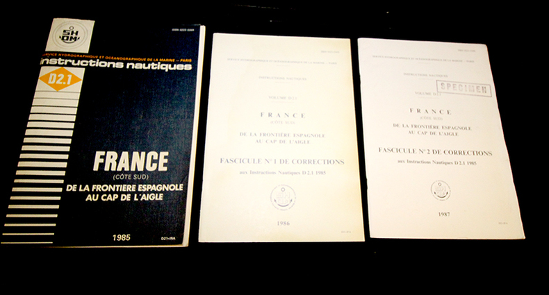
1985gf824Service hydrographique de la Marine Broché 1985 In-4 (19 x 27 cm), broché, 303 pages, iconographie en noir in et hors-texte + 2 cartes dépliantes in fine + deux fascicule n°1 (1986) et le n°2 (1987) de corrections aux instructions nautiques D2.1 ; coiffes et coins frottés, étiquette au 4ème plat, tampon 'specimen' au 1er plat du fascicule n°2, plats légèrement défraîchis, bel état général. Livraison a domicile (La Poste) ou en Mondial Relay sur simple demande.
1935ln116Imprimerie Nationale Broché 1935 In-8 (15,2 x 23 cm), broché, 697 pages, n°375 ; pliures au dos et dans les coins des plats, mors usés, taches, décolorations et frottements aux plats, état moyen. Livraison a domicile (La Poste) ou en Mondial Relay sur simple demande.
197082689Couverture rigide. Reliure de l'éditeur. 355 pages + 18 pages de corrections.
1966M126261966 Couverture rigide P, Imprimerie nationale , 1966 , fort in8 cartonnage éditeur. , XXII - 594 pp Nombreuses cartes , tableaux , croquis dans le texte - 3 grandes cartes dépliantes hors texte. Cachets. Langue: Français
19254073Paris, Imprimerie Nationale, 1925, 15 X 23 cm., broché, 709 pages. Ouvrage broché aux couvertures cartonnées. Il débute par des bons détachables pour les fascicules des corrections de plusieurs années et 6 feuillets de correction vierges. Dans le corps d'ouvrage, une carte dépliante de la côte ouest, une autre de la côte nord, des croquis, des tableaux, et une jolie planche en couleurs sur les signaux de balisage (rousseurs en marge). En fin d'ouvrage, 20 plans d'entrées ou passes difficiles. Des traces et rousseurs sur les couvertures, nom au stylo sur la garde, intérieur propre.
1967cv3054Paris, Imprimerie Nationale Instructions nautiques Cartonné 1967 In-8 (16,5 x 24,1 cm), cartonné, 396 pages, illustré de quelques cartes et tableaux en noir et blanc ; dos et bord supérieur du quatrième plat brunis, par ailleurs bon état. Livraison a domicile (La Poste) ou en Mondial Relay sur simple demande.
1963cv3055Paris, Imprimerie Nationale Instructions nautiques Broché 1963 In-8 (15,6 x 23,5 cm), broché avec couverture cartonnée, 296 pages, iconographie en noir et blanc ; mors frottés, dos bruni, bon état. Livraison a domicile (La Poste) ou en Mondial Relay sur simple demande.
1964cv3088Paris, Imprimerie Nationale Instructions nautiques Broché 1964 In-8 (15,4 x 23,5 cm), broché avec couverture cartonnée, 348 pages, bien complet du fascicule n°3 des corrections apportées aux Instructions Nautiques E(II) 1964 côtes d'Irlande de 1971, illustré de quelques cartes et tableaux en noir et blanc ; pliures au dos, plats salis, mors supérieur fendu en queue, note manuscrite au premier plat, en l'état. Livraison a domicile (La Poste) ou en Mondial Relay sur simple demande.
1962cv3089Paris, Imprimerie Nationale Instructions nautiques Broché 1962 In-8 (15,6 x 23,5 cm), broché avec couverture cartonnée, 470 pages, illustré de 170 vues, de quelques cartes et tableaux en noir et blanc ; pliures au dos, frottements et traces aux plats, par ailleurs assez bon état général. Livraison a domicile (La Poste) ou en Mondial Relay sur simple demande.
1955cv3090Paris, Imprimerie Nationale Instructions nautiques Broché 1955 In-8 (15,3 x 23,5 cm), broché avec couverture cartonnée, 370 pages, illustré de 27 vues de côte, de quelques cartes et tableaux en noir et blanc ; manques aux coiffes, quelques traces et frottements aux plats, état moyen. Livraison a domicile (La Poste) ou en Mondial Relay sur simple demande.
19693629Imprimerie Nationale 1969 390 pages in8. 1969. reliure éditeur. 390 pages. Ouvrage technique du Service Hydrographique et Océanographique de la Marine (SHOM) fournissant des informations nautiques détaillées pour la navigation le long de la côte sud-est de l'Italie et en mer Adriatique. Il complète les cartes marines avec des renseignements généraux pratiques et réglementaires essentiels pour les navigateurs
193390592Paris: Commission Internationale de Navigation Aeriennne 1933. Presumed First Edition First printing thus. Pamphlet. Good. The format is approximately 5 inches by 8 inches. TEXT IS IN FRENCH. 2 28 28 blank verso pages. Tabular Data. RARE SURVIVING COPY. The International Commission for Air Navigation ICAN was an international organization established by the Paris Convention of October 1919 which was the precursor to the current International Civil Aviation Organization ICAO . Its role was to establish international standards for managing air navigation. ICAN was truly active from 1922 to 1939 but ceased in 1947 when it was replaced by ICAO. In March 1919 an Aeronautics Commission of the Peace Conference was established at the initiative of President Clemenceau who rallied his allies and partners to his cause: President Wilson Alfred Milner United Kingdom and Vittorio Emanuele Orlando Italy. In less than four months the Commission and its military technical and legal subcommittees drafted the Convention regulating air navigation which was signed in Paris on October 13 1919 and which forms part of the treaties protocols and conventions of the Paris Peace Congress. The International Commission on Air Navigation was established by Article 34 of the Paris Convention. The convention entered into force on July 11 1922. It had been signed by fourteen states. At the first session held in Paris under the chairmanship of Raymond Poincaré he specified the role that the Commission was to play in the future and emphasized its innovative nature in the field of international law as it gave the Commission the power to make decisions binding on the contracting states by majority vote. Among the topics of this set of Aeronautical Instructions are Aerodromes Meterorological services phrases flight plans frontiers/boundaries Transportation and hazards to aviation. It addresses treaty/conventions and relevant Belgian legislation. Commission Internationale de Navigation Aeriennne unknown
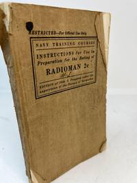
194034669Washington DC: United States Navy Department 1940. Edition of 1940. Wraps. Fair. Edition of 1940. A Fair copy. 8vo. 312 pp. bound in publishers printed tan wraps. Missing rear cover. Small losses from spine and front cover along with soiling. Pages are dog-earred. Text appear unmarked with some pages of notes laid in. A SCARCE title. United States Navy Department unknown
191324735Brüssel. Generalsekretariat. (1913). XVII, 720 Seiten. Mit Abbildungen im Text u. auf Tafeln sowie eine mehrfach gefaltete Tafel im Anhang. Original-Leinwand-Einband. (Einband teils fleckig. Bibl.-Stempel) 24x16 cm
1925B94653Antwerpen, Veritas 1925 48pp.+ 5 illustraties buiten tekst, 20cm., originele omslag, goede staat, B94653
19981041006.28The Institute of Navigation Alexandria VA 1998. Paperback. Very Good. 4to paperback. 2-volume set. Vg condition. Slightest outer rubbing barely noticeable contents bright & clean binding tight. 2114 total pp. list of participants. The Institute of Navigation, Alexandria, VA paperback
1912164939Sydney: Edward Lee & Co. 1912. 1st edition. Very Good. tall octavo. pictorial boards cxxi 243pp. colour & b/w plates text ills. maps Inc. folded plate "Accommodation plan of KPM Steel Screw Steamer "Tasman" chipped & spotted with some loss. Great ads. Signs of use & boards reinforced at spine with tape o/w a very good complete copy Edward Lee & Co. hardcover
191652205ABStuttgart, Strecker und Schröder, 1916. 4° (35x25), LXXV, 960 Sp, S. [961] - 992 (Register), mit 317 Kartenskizzen und Textbildern, OHln mit LnEcken, dreiseitiger Rotschnitt, [3 Warenabbildungen] (1. Aufl.) Einband mit marginalen Lagerspuren, sauber und gepflegt, nahezu ungelesen, schönes Exemplar,
198852178ABBregenz, Eigenverlag Gertrud Husslein, 1988. 4° (35x25), LXXV, (1) S., 960 Sp, [961] - 992 S. (Register), mit 317 Kartenskizzen und Textbildern, grüner Oln mit goldPrägung, [2 Warenabbildungen] ungenutzt, schönes gepflegtes Exemplar, im Pappschuber,
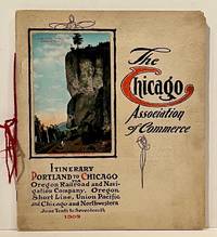
190922859Chicago: Chicago Association of Commerce 1909. First Edition. Quarto; 8pp. Four string-tied and stapled leaves with ten 3 1/2" x 5 1/2" mounted colored illustrations each titled in red along with a map of the route. Near Fine copy in grey cardstock titled and color photograph tipped to front cover. Rare promotional piece; we fine only 1 copy at University of Michigan. This booklet was prepared by the Oregon Railroad & Navigation Company the Oregon Short Line Railroad the Union Pacific Railroad and the Chicago & Northwestern Railway as an itinerary for the approximately 40 Chicago merchants' return trip ". calling your attention to a few of the points of interest in a country of marvellous scenes wonderful accomplishments and a still more wonderful future." Lists 38 members of the Chicago Association of Commerce making the return trip. Uncommon attractive & elaborate promotional piece. Chicago Association of Commerce unknown
198415907Ottawa Bibliothèque Nationale Du Canada 1984 Plaquette In-8 32 pp, illustrations en noir in-texte, illustration graufrée sur la 1ère de couverture.
19566109Couverture rigide. Cartonnage de l'éditeur. 180 pages. Couverture légèrement défraîchie.
1960453058597xbvkSatz, Druck und Gestaltung: Remscheid, J. F. Ziegler KG, ohne Jahr (ca. 1960). 438 (1) Seiten, 8 kartonierte Zwischentitel; durchgehend bebildert. - Grüner Original-Leineneinband mit goldgeprägtem Deckel- und Rückentitel; 4to.(ca. 29 x 21 x 2,5 cm).
1976203614Couverture rigide. Cartonné. 115 pages. Plusieurs pages tachées.