1 049 résultats
1914C94615Bruxelles, Weissenbruch 1914 17pp.+ frontispice (carte) & 1 grande carte dépliante en couleurs (Carte du Pool du Bas-Congo entre Malela et Boma à l'échelle de 1/100.000, 80x38cm.), 24cm., reliure cart., extrait du "Mouvement géographique" (1914), rare, C94615
19127106paris ernest flammarion 1912 in4 demi chagrin vert, dos richement orné, fers dorés de la ville de paris sur 1er plat toutes tranches dorées 504 pp illust in et ht , 11 planches hors texte, 3 cartes
190818754Helsingfors, Hufvudstadsbladet, 1908. 53 p. with numerous photographical and schematic illustrations, 2 foldable maps. 4° (24 x 32 cm), original wrappers with decorative illustration on front cover. The boards especially on the back slightly defective.
1971119616Couverture souple. Brochure 17 x 21 cm. 40 pages.
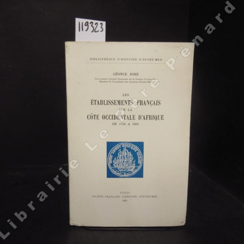
19651193231965 A Paris, Société Française d'Histoire d'Outre-Mer / Librairie G.-P. Maisonneuve et Larose, Bibliothèque d'histoire d'Outre-Mer - 1965 - In-8, broché - 471 p.. - Une carte dépliante en fin d'ouvrage + quelques illustrations hors texte en N&B - Ouvrage non coupé (jamais lu)
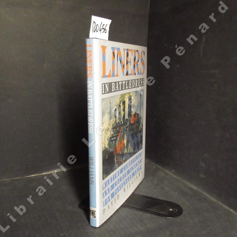
19781204561978 Conway Maritime Press - 1989 - In-4, cartonné sous jaquette de l'éditeur - 378 pages - Très nombreuses illustrations et reproductions photographiques en N&B in et hors texte - Ouvrage en anglais
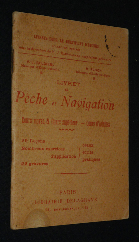
1932qa797Librairie Delagrave Livrets pour le certificat d'études Broché 1932 In-8, (10x14.5 cm), dos agrafé, 46 pages, schémas en noir et blanc, 29 leçons, exercices ; signature au stylo sur la page de titre, manques et étiquette sur le dos, plats défraîchis, état correct. Livraison a domicile (La Poste) ou en Mondial Relay sur simple demande.
1929vh2030Librairie Delagrave Livrets pour le certificat d'études Plaquette 1929 In-12 (10 x 15 cm), plaquette dos agrafé, 46 pages ; trace d'encre et petite mouillure au premier plat, par ailleurs assez bon état général. Livraison a domicile (La Poste) ou en Mondial Relay sur simple demande.
196870794Couverture rigide. Reliure toile de l'éditeur. 752 pages.
1971M188291971 1971 L , The Corporation of Llyod's ,1971 , in4° toile illustrée éditeur , Langue: Français
190928526ABZürich, Aschmann & Scheller, 1909. 8°. 136 S. Orig.-Broschur + Wichtig: Für unsere Kunden in der EU erfolgt der Versand alle 14 Tage verzollt ab Deutschland / Postbank-Konto in Deutschland vorhanden + (leicht fleckig, Rücken gebräunt).
190928526ABZürich, Aschmann & Scheller, 1909. 8°. 136 S. Orig.-Broschur (leicht fleckig, Rücken gebräunt).
19442005200040Houston : Gulf Publishing Co 1944. First Edition. Hardcover. Very Good. The Army Air Corps: A Rare and fine collection of the Army Air Forces in World War II. Log of Navigation. 7 issues bound as one. Bound in full blue cloth. Good binding and cover. Original pictorial wraps bound in. Clean unmarked pages. Numerous photographs maps comics. Heavily illustrated an interesting periodical. "The approved publication of the AAF Training Command." Includes: "A Camera Trip Through Army Air Forces School Hondo Texas" - a smaller photo-pamphlet; AND Log of Navigation issues: April 1944. Vol. 2 no. 4; May 1944. Vol. 2 no. 5; June 1944. Vol. 2 no. 6; July 1944. Vol. 2 no. 7; September 1944 Vol. 2 no. 9; March 1945. Vol. 3. No. 3. <br> From the former head of the U.S. Air Forces History Division. Houston : Gulf Publishing Co hardcover
19616853532 menus in-8 de 2 ff. cartonnés illustrés, Compagnie Maritime des Chargeurs Réunis, Compagnie de Navigation Sud-Atlantique, 1961
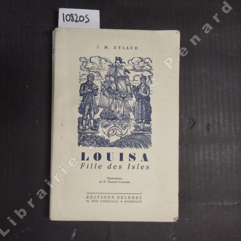
19511082051951 Editions Delbrel - 1951 - In-8, broché - 142 p. - Quelques illustrations et cul-de-lampe en N&B par R. Gautier-Constant - Avec un envoi de l'auteur en page de garde - Il a été tiré 200 exemplaires sur Albélio, numérotés de 101 à 300 - Exemplaire numéroté 191/300
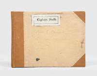
1928174745Likely Shanghai: 1928-34. Mariners are warned to exercise due caution when approaching and when in the waterways A collection of otherwise untraced notices to mariners compiled by a civilian captain who plied the lower Yangtse during the late 1920s and early 1930s. Yangtse shipping was regulated by the Maritime Customs Service which issued around 100 navigational advisories per year. During the late 1920s shipping traffic on the Yangtse rebounded after several years of decline during the Warlord Era. Low water however continued to pose problems for navigators and increased the need for effective river management. The 39 notices are technical directions concerning specific parts of the channel. They specify when vessels may and may not enter stretches of water warning of the persistent presence of Chinese craft not subject to the same notices offer guidance for navigating buoyed channels provide optimum bearings and relay a change to the position of the Bend and Gravener Island beacons due to the erosion of the channel. The majority date from 1929. The identify of the "Captain Smith" referenced on the front cover has proved elusive but he may be the individual pictured in photograph Sw13-045 G. Warren Swire collection SOAS. Landscape octavo. Contemporary brown half cloth binder with metal clasp spine lettered in gilt buff paper sides front board with manuscript label "Captain Smith" boards lined with pink paper typescript list of charts on inner front cover 39 sheets each typed one side only in black or blue most duplicate typescript a few top copy. Boards lightly soiled clasp rusted sheets generally well preserved a few creased or with holes near clasp legibility unaffected typescript list with a few losses to text: a very good example. hardcover
193432402Hansa Luftbild, Berlin, 1934. EA, 66 Seiten, überwiegend illustriert; 4°, ca. 30 x 23 cm, kartoniert
193632404Hansa Luftbild, Berlin, 1936. 79 Seiten, zahlreiche Abbildungen; 4°, ca. 30 x 23 cm, kartoniert
2000130443Augsburg: Bechtermünz, 2000. 192 S. mit zahlreichen Abbildungen; 4°; gebunden, illustrierter Orig.-Pappband;
1998Y1391Berlin, Berlin-Verlag, 1998. Kartoniert, 8°, 239 S., 2. Auflage, »Dieses Buch erzählt die Geschichte des unbekannten schottischen Uhrmachers John Harrison, dem es im 18. Jahrhundert gelang, die Schiffahrt durch die Lösung des Längendrad-Problems auf neuen Kurs zu bringen. Trotz aller Intrigen seiner Rivalen setzte sich Harrisons geniale Erfindung letztlich durch ...«
193978488Lüttich Mai bis November 1939. 22 Seiten. Mit mehreren Abbildungen. Dekorativ ill. Originalbroschur ( Publi Wal) 21x14 cm
197991751979 Paris, Arthaud, 1979. Un volume in-8 broché, couverture illustrée à rabats, 231 pages, ill. en n&b. Pliure au dos, néanmoins bon état.
1938100152328Société d'éditions géographiques maritimes et coloniales 1938 in8. 1938. Broché. Ouvrage technique rédigé par Paul Gille conformément aux programmes des examens des écoles nationales de navigation maritime. Publié par la Société d'éditions géographiques il a connu une nouvelle édition augmentée et mise à jour en 1944 puis une deuxième édition en 1949 totalisant 362 pages
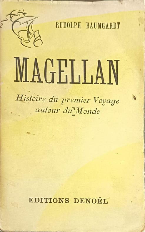
19438550Editions Denoël 1943 372 pages in12. 1943. broché. 372 pages. Ouvrage historique de Rudolf Baumgardt retraçant l'expédition de Magellan premier tour du monde par la voie maritime traduit et adapté de l'allemand par Maurice Beerblock et publié aux éditions Denoël
194313312Denoël 1943 372 pages In-12. 1943. broché. 372 pages. Avec un portrait et une carte dépliante en noir