1 048 résultats
197991711979 Paris, Editions du Pen-Duick, 1979. Un volume in-8 broché, couverture illustrée, 238 pages, ill. en n&b. Couverture légèrement défraîchie, bon état.
1944X117980London, Hydrographic Department, Admiralty 1944 xxxiv + 528pp. + plates out of text (photos, figures, maps), 9th edition, publisher's hardcover in cloth (some traces of use at spine), 25cm., text and interior are clean and bright (except for few pen/cil strokes in the margin of text on few pages), [added: Supplement no.1-1946, 11pp.], X117980
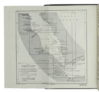
1955ABC_47446London 1955. 8vo. Published for the Hydrographic Department Admiralty Original blue cloth with yellow lettering on the spine and the front board the supplement is loosely inserted at the end of the volume: original printed paper wrappers stapled. With a folding map printed on both sides 2 coloured plates with diagrams printed on both sides 28 plates showing coastlines and occasionally a map many printed on both sides and many some illustrations in text. 2 LI = LIII: II plus 1 1 blank 1 blank 518 1 1 blank pp; Supplement: 20 pp. The essential standard sailing directions for the Red Sea and Gulf of Aden corresponding with zone NP64 on the official Admiralty charts. These nautical works - pilot guides and charts - were published by the United Kingdom Hydrographic Office which provides the necessary hydrographic and marine geospatial data to all kinds of maritime organisations across the world. The publications are not only used by the British Royal Navy but can also be found on board the majority of international merchant ships. The data provided in the pilot guides and other publications are compliant with SOLAS the Safety of Life at Sea treaty guidelines and are updated constantly in weekly "Notices to mariners" and supplements to and new editions of the pilot guides whenever necessary.The present copy is the 10th edition 1955 of the pilot guide with sailing directions and other information on the weather currents radar ranges etc. relating to the Red Sea and Gulf of Aden including the supplement issued in 1957. It includes an erroneous "advertisement to the eight edition" by the Hydrographer of the Navy Rear-Admiral Kenneth St Barbe Collins 1904-1982. The advertisement states that with the publication of "the ninth edition" presumably this volume the previous edition and its supplements are cancelled since the most up-to-date information has been compiled in the new edition and the weekly "Notices to mariners" that appeared after the publication of the 11th edition. The 10th edition of 1955 and its 1957 supplement were made redundant with the publication of the 11th edition in 1967. Each subsequent edition of the pilot supersedes the last which have appeared infrequently depending on newly available information from the mid-19th century until the present day.The front paste-down and recto of the first free endpaper contain a "caution" notice and room for the notation of "supplements and annual summaries of notices to mariners relating to this book" the first two pages are printed on red-pink paper. The binding shows minor signs of wear around the spine and corners of the boards the gutter after page II is somewhat weakened the head edge of the wrappers of the supplement are very slightly browned. Otherwise in very good condition. hardcover
1967ABC_46470London: United Kingdom Hydrographic Office 1967. Grey-blue back wrapper; the two quires map and back wrapper held together by two metal staples. Blue cloth with title information in yellow on front cover and spine the supplement loosely inserted at the end of the volume. Large 8vo. The main work with 3 maps including 2 folding and 82 views of coastal profiles on 52 plates. The supplement with 2 folding maps on the two sides of a single folding leaf and 4 views of coastal profiles on 3 pages. With: NAVIGATION - RED SEA - PILOT GUIDE. Supplement No. 7 - 1977 to Red Sea and Gulf of Aden pilot eleventh edition 1967 corrected to 4th March 1977 Whenever reference is made to the pilot this supplement must be consulted.London United Kingdom Hydrographic Office 1977. The essential standard sailing directions for the Red Sea and Gulf of Aden corresponding with zone NP64 on the official Admiralty charts. These nautical works - pilot guides and charts - were published by the United Kingdom Hydrographic Office which provides the necessary hydrographic and marine geospatial data to all kinds of maritime organisations across the world. The publications are not only used by the British Royal Navy but can also be found on board the majority of international merchant ships. The data provided in the pilot guides and other publications are compliant with SOLAS the Safety of Life at Sea treaty guidelines and are updated constantly in weekly "Notices to mariners" and supplements to and new editions of the pilot guides whenever necessary.The present copy is the 11th edition 1967 of the pilot guide with sailing directions and other information on the weather currents radar ranges etc. relating to the Red Sea and Gulf of Aden including the supplement issued in 1977. The first two pages are printed on red-pink paper. Binding slightly rubbed and faded board edges very slightly soiled fore-edge of the supplement slightly frayed. Overall in good condition. United Kingdom Hydrographic Office, hardcover
1955K3CC18ANEAK3London: published by the Hydrographic Department Admiralty 1955. Original blue cloth with title on spine and front board; supplement with original printed paper wrappers. 8vo. With a folding map printed on both sides 2 coloured plates with diagrams printed on both sides 28 plates showing coastlines and occasionally a map many printed on both sides and many some illustrations in text. Including: Supplement no. 1-1957 relating to the Red Sea and Gulf of Aden pilot tenth edition . Tenth edition of a work "comprising sailing directions for the Suez canal the Gulf of Suez and the central track for power vessels through the Red sea Straits of Bab-al-Mandab and Gulf of Aden ." p. III and more areas. Besides navigation it deals with the climate weather and ocean streams of the area. The first chapter also gives and "general description of countries bordering the Red sea and Gulf of Aden" p. V. Including two copies of the supplement. Spine slightly discoloured otherwise in very good condition. published by the Hydrographic Department, Admiralty, hardcover
190818717St. Petersburg, Marineministerium, 1908. Die zwanzig Hefte sind wie folgt tituliert: 1. Apercu historique et description de Cronstadt. 2. Précis historique de la Classe et de l'Ecole des Torpilleurs 1874 - 1908. Cronstadt. 3. Classe des Officiers d'Artillerie. Cronstadt. 4. L'Ecole des ingénieurs de la Marine de l'Impereur Nicolas I. Cronstadt. 5. Das maritime astronomische und Kompass-Observatorium Cronstadt. 6. L'Ecole des mécaniciens de la flotte de la Baltique. Cronstadt. 7. L'Ecole des scaphandriers et les travaux sous-marins. 8. Apercu sommaire du développement de la navigation sous-marine en Russie et à l étranger. 9. Les Usines d'Ijora. 10. L'Usine d'Oboukoff. 11. Chantiers navals et Usines mécaniques de la Baltique. 12. Les constructions navales militaires sur les chantiers de l'Etat. St. Pétersbourg. 13. Le Musée de la Marine St. Pétersbourg. 14. Corps de Marine et Académie navale Nicolas. St. Pétersbourg. 15. Apercu historique sur le développement du Service du pilotage en Russie. 16. L' Administration Générale de l'Hydrographie. 17. Die Werkstatt für nautische Instrumente bei der Hydrographischen Hauptverwaltung. 18. Les ateliers pour la reproduction de la Section Cartographique de l'Administration générale hydrographique. 19. Exploration hydrographique des mers russes. Cartes et instructions nautiques. 20. Apercu historique du Service des phares en Russie. Insgesamt 382 Seiten, und zahlreiche Tafeln. 20 Hefte (vollständig) in bedruckter Flügelmappe aus Pappe, die Mappe innen fleckig. Mappentitel: Hommage du Ministère de la Marine à M.M. les Membres du XI. Congrès International de Navigation tenu à St. Petersbourg en 1908.
196448395Madrid: Consejo Superior de Cámaras de Comercio de España 1964.- 1391 p.; 4º 25 x 18 cm; Tela Ed.- RARO. HACIENDA DERECHO FISCAL MERCANTIL BOLSA BANCA SEGUROS. Libro en español Consejo Superior de Cámaras de Comercio de España hardcover
1945590301945 Paris, Société d'Editions Géographiques Martimes et Coloniales, 1945 14,5 x 19,5 cm, 159 pp, broché, couverture souple illustrée comportant des traces de scotch, dos fendu,
1988129200Vancouver. The University of British Columbio Press 1988. XI, 411 pages and some plates. With fotos and maps. Original hardcover binding and an illustrated dustjacket. 23x16 cm
1930126769Frankfurt a. M. Georaphsiche Verlagsanstalt und Druckerei E. Ravenstein A.-G. (Ohne Jahr. Um 1930). Mehrfach gefaltete, auf Leinwand montierte, mehrfarbige Karte u. einem Blatt "Anweisung zum Gebrauch" sowie einem Titelblatt. (Gering randfleckig). Aufgefaltet im Format ca. 72x58 cm
1954117894Editions de Paris 1954 Editions de Paris, 59p, 1954, in-8 broché. Couverture un peu salie sinon bon état général.
1952100123922Ministère des travaux publics et de la reconstruct 1952 in4. 1952. Broché.
19307392Paris imprimerie nationale 1930 Broché plaquette in8c couverture imprimée, tiré à part des annales hydrographiques
1980sb466Editions du Pen Duick Les Dossiers des Editions du Pen Duick Dos carré collé 1980 In-8 (16 x 22,8 cm), dos carré collé, 94 pages ; frottements au premier plat, traces sur les plats, par ailleurs intérieur frais, assez bon état général. Livraison a domicile (La Poste) ou en Mondial Relay sur simple demande.
1959nu694Service hydrographique de la Marine Classeur 1959 In-8 (17,7 x 26 cm), riches sous classeur, avec le fascicule correctif ; marques d'usure sur le classeur, fiches et intercalaires brunis, état moyen. Livraison a domicile (La Poste) ou en Mondial Relay sur simple demande.
19408163Paris Imprimerie Nationale 1940 In-8 Large VIII+199 pp, (.) Codes ( Météorologie, glaces ). Service hydrographique de la marine, n°2B. Edition à jour à la date du 1er juillet 1939. 1 carte dépliante hors-texte. Dos passé avec faible manque de papier sur coiffe en tête ; une forte mouillure ( huile ou encre ) en milieu du 2d plat avec atteinte au texte sur les 5 dernières pages. N° et date au tampon. On y joint un fascicule des corrections
19398162Paris Imprimerie Nationale 1939 In-8 Large VII+251 pp, (.) Météorologie, avis aux navigateurs, avis médicaux et messages de quarantaine. Service hydrographique de la marine, n°2A. Edition à jour à la date du 1er juillet 1939. Dos passé avec faible manque de papier sur coiffe en tête. N° et date au tampon. On y joint un fascicule des corrections
19819121Editions Maritimes & d'Outre-Mer Neptune 1981 191 pages in8. 1981. broché. 191 pages.
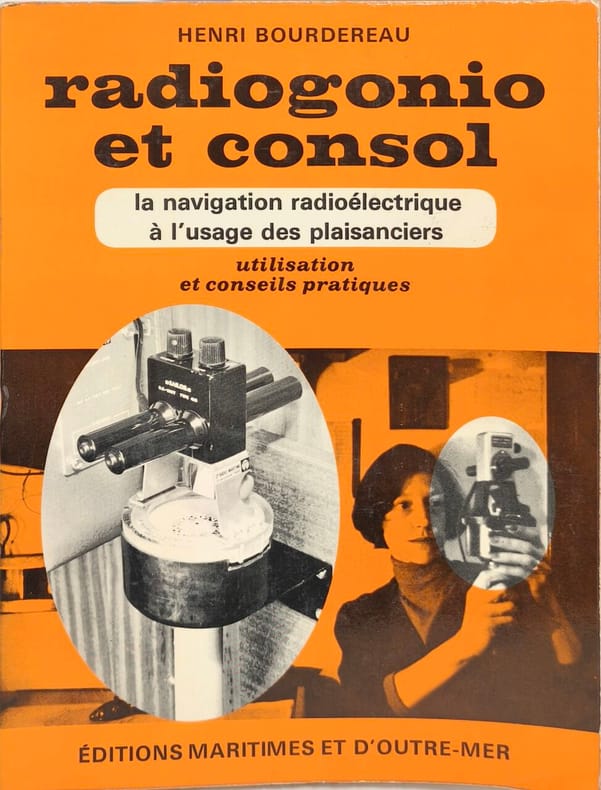
1969nn127Editions Maritimes et d'Outre-Mer La navigation radioélectrique Broché 1969 In-8, (18x13.5 cm), broché, 103 pages, quelques dessins en noir et blanc, dédicace (?) sur la page de faux-titre ; mors frottés, tous petits manques sur les plats, bon état. Livraison a domicile (La Poste) ou en Mondial Relay sur simple demande.
19695532Éditions Maritimes et d'Outre-Mer 1969 107 pages in8. 1969. broché. 107 pages. Ce manuel pratique de 107 pages publié en 1974 explique l'utilisation des systèmes de navigation radioélectrique (radiogoniomètre et Consol) à destination des plaisanciers. Il fournit des conseils pratiques et est illustré
195756939Pan American Avigation Service, North Hollywood (California) 1957. 331 Seiten mit zahlreichen Abbildungen und 3 beiliegenden mehrfach gefalteten Karten, Groß 8°, Original-Karton (Softcover), Einband leicht angerändert, randgebräunt und knitterig, Ecken leicht eselsohrig, insgesamt gutes und innen sauberes Exemplar,
196035877Rotterdam, Vlaardingen u. Leewarden. 1960. 34 n. n. Seiten. Mit zahlr. teils farbigen u. faks. Abb. u. Illustrationen sowie einer doppelblattgroßen Hafenansicht v. Rotterdam. Schöner Druck auf kart. Papier. OKart.-Einband mit Kunststoffspiralbindung. (Einband mti Gebrauchsspuren) 21x30 cm
19054545MANUSCRIT, vers 1905. Cahier in-8, 49 ff., couv. souple (détachée) portant le titre, tampon de la Maison Fournier-Vincelet, opticien spécialiste à Paris, F. PORTRÉ successeur.
1980501071980 Editions Michel-André Tracol - 1980 - In-4 à l'italienne, broché, sous jaquette illustrée - 142 pages - nombreuse iconographie
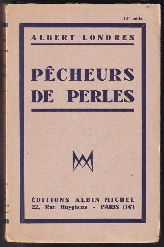
1931183861931 Paris, éditions Albin Michel, 1931. Édition originale, exemplaire du tirage courant imprimé sur vélin d'alfa, avec mention de 15è mille. In-12 broché de 253 pp., orné d'une carte en frontispice et contenant 28 photographies réparties en 16 planches hors texte. Des rousseurs.