Antiquariat.de

100 résultats
1880287DGo.J. (um 1880). Farbige Lithographie Bildformat: 158 x 60 cm. + Wichtig: Für unsere Kunden in der EU erfolgt der Versand alle 14 Tage verzollt ab Deutschland / Postbank-Konto in Deutschland vorhanden +, 287D-Gr
18063025Edinburgh, A. Constable, 1806. In-8 de VII-232-LXI pp., cartonnage de l'époque.
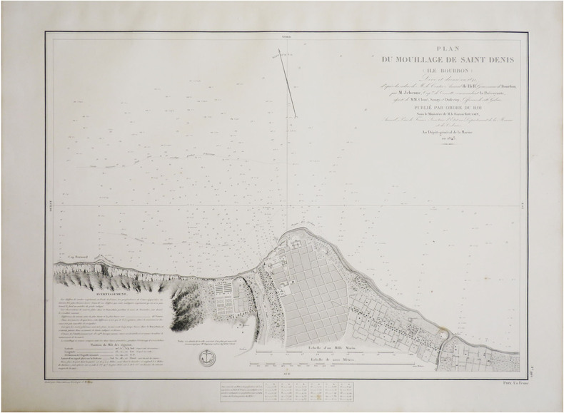
1843LBW-8791[Paris], Dépôt-Général de la Marine, 1843. 440 x 576 mm.
1833LBW-1982Paris, 1833-1839. 267 x 356 mm.
18252452Paris, Anselin et Pochard, 1825. In-8 de VIII-63 pp., 1 tableau replié, demi-chagrin bleu, couverture imprimée et dos conservés (reliure moderne).
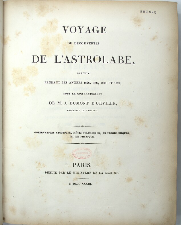
1833PHO-2138Paris : Ministère de la marine, 1833-34. In-4, cartonnage papier marbré, dos lisse, tranches mouchetées (reliure de l'époque). Usures au cartonnage (coins, coiffes, frottements, etc…) Rousseurs, cachet au titre.
186821024Paris, Furne, Jouvet et Cie, (1868) ; in-8, demi-chagrin marron, dos à nerfs, caissons dorés avec un fleuron, tranches dorées (Quinet) ; 316 pp., seize lithographies en couleurs, protégées par des serpentes légendées.
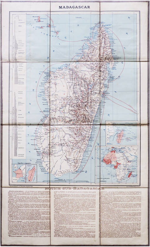
1894LBW-7871Paris, H. Le Soudier, [1894]. En 12 sections montées sur toile et repliées, formant une carte de 644 x 387 mm ; étiquette au dos portant le titre.
1837PHO-2143Paris, Arthus Bertrand, 1837, 1 volume (3) grand in-4° (30x24,5cm), VIII pp., 742 pp., demi basane époque, dos lisse avec auteur, titre et tomaison, frottements au dos, quelques rousseurs, défaut à la coiffe sup., de la bibliothèque de Cayrol avec son cachet et signature manuscrite.
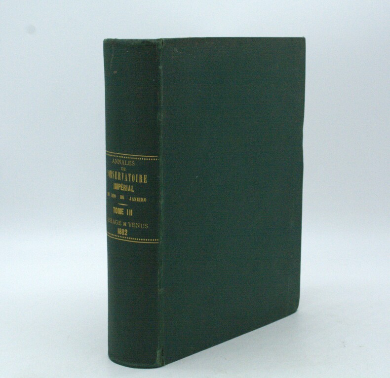
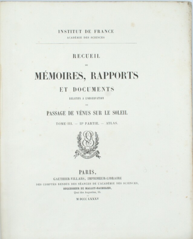
1887PHO-1969Rio de Janeiro, Lombaerts & Cie, 1887, grand in-4° (32x23cm), pleine percale époque, titre au dos, petits frottements aux mors, quelques rousseurs. Texte en portugais avec sa traduction française en regard, complet de ses illustrations sous serpentes.
1850LBW-4488Paris, Victor Delarue et Ce, [circa 1850]. 245 x 310 mm.
1885PHO-1499Paris, Gauthier-Villars, 1885, 2 volumes grands in-4, couverture éditeur, Introduction et Zoologie 576pp., Botanique 23pp., Géologie 180pp., Planches 32pp.-2ff. et son Atlas de 2ff. et 68 planches en lithographie, d'études géologiques et zoologiques (55 planches de zoologie sur fond crème et 13 planches de géologie dont 10 d'observations microscopiques de roches, en couleurs), dos cassé à l’atlas.
1850LBW-1182Paris chez l'auteur circa 1850 252 x 320 mm.
1833LBW-1987Paris, 1833-1839. 272 x 365 mm.
1849LBW-8266[Paris], Dépôt-Général de la Marine, 1849. 612 x 886 mm.
183340537Paris, Lecointe et Pougin, Éditeurs, 1833. In-8 interfolié de XVI-280 pp., demi-veau havane, dos orné à nerfs, pièces de titre prune, tranches marbrées (reliure de l'époque).
183314286J. Morlent Le Havre 1833 1 vol. In-8 de XVI 280 pp., demi-basane fauve de l'époque, dos lisse fileté, pièce de titre, couverture conservée.
1802P2-7C-1Paris, Prault, An X (1802). 3 volumes in-8 (205x125mm), demi-chagrin à coins, dos lisse orné, reliure de l’époque.
1851PACIFICO015869Longman Brown Green and Longmans London. 1851. First edition. Octavo. Two volumes in one: pp xii 352; xii 371. Four chromolithograph plates. Original blue cloth decorated in blind lettered in gilt.On the front free endpaper are two 19th century inscriptions one of which has been crossed through. Some foxing here and there. Head and tail of spine a bit scuffed. Some wear to edges. Very good. Very scarce in the intact publishers' binding. Longman, Brown, Green, and Longmans, London. hardcover
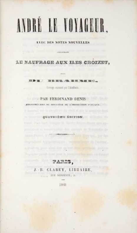
184139808Paris, Clarey, 1841. In-8 de (4)-III-259 pp. maroquin vert, dos orné à nerfs, triple filet doré d’encadrement sur les plats, dentelle intérieure dorée, tranches dorées sur marbrure, non rogné (Brany).
1837PHO-2280Paris, Arthus Bertrand, 1837, 2 volumes (3) grand in-4° (30x24,5cm), VIII pp., 742 pp., demi chagrin et coins époque, dos lisse avec auteur, titre et tomaison, frottements au dos, quelques rousseurs, défaut à la coiffe supérieure. Édition originale du texte du voyage du Bougainville autour du monde, manque l’atlas.
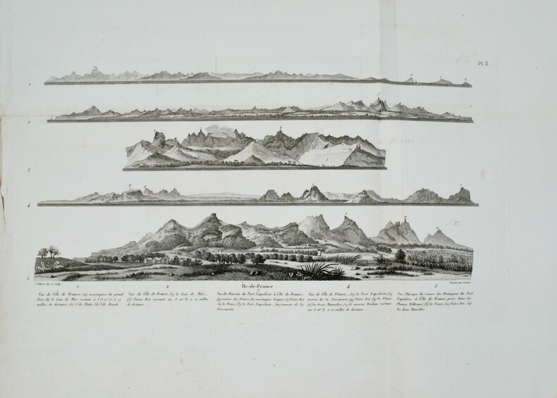
1812PHO-1644Paris, A. Nepveu, 1812. Atlas in-folio oblong (420x280), pleine toile moderne, auteur et titre au dos, rousseurs, cachet de librairie, petite mouillure en début d’ouvrage, déchirures sur 2 planches en marge sans manque. Première édition, l'atlas comprend 45 planches et cartes, dessinées et gravées la plupart par l'auteur, certaines terminées par Coube, Hulk, Gossard ou Perdoux, (vue de la ville du Port Napoléon, vue du Cap de Bonne-Espérance, etc.). L'ouvrage traite de l'histoire de l'île Maurice, de sa population et de son administration, de géologie et de sciences naturelles.
1804LBW-7306[Paris, F. Buisson, an XIII-1804]. 598 x 840 mm.
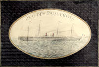
18972210164<p><i>Comprising two coloured map board 66 x 99 cm folding down to 32.5 x 49.5 cm one cloth hinge broken; 14 route cards; a barometer dial 19 x 19 cm with gilt metal spinning arrow some abrading from use; eight painted white metal playing pieces in the form of ships contained in the original small box one piece not original; 16pp booklet of instructions bound in original light green printed wrappers; all contained in the original box 35 x 52 x 5 cm; the hinged lid with a large coloured lithograph title label showing the 'Normandie' leaving port at full steam some minor abrasions but overall in good condition.</i><br /></p><p><i>Jue des Paquebots</i> was something new to games when it was published in 1897 as each player moves their boats on large maps exactly replicating the routes taken by two major French shipping lines. </p><p>The game includes two large folding boards designated 'Carte A' which illustrates the Atlantic shipping lines the other 'Carte B' with the shipping lines leaving Marseilles in the direction of the Black Sea the Indian Ocean and the Pacific. Rather pointedly the instructions state that the two maps include only the French shipping lines of the Messageries Maritimes and the Cie Générale Transatlantique the United Kingdom then the leading maritime nation is neither shown on the maps nor mentioned. </p><p>The players first decide which map they are going use and then select or bid one of the Itinerary cards 8 for map A and 6 for map B. The aim of each player is to complete the journey indicated by their itinerary and then make the return voyage; the first player to complete this double crossing wins. However the number of stopovers is not equal for each different itinerary in play. In order to equalise the chances of winning the players with the fewer ports of call have to repeat their journey a second or even a third time if necessary until the number of ports visited or passed by them in these different routes equates to the number of ports of the busiest route.</p><p>The routes all follow those which the two major French shipping companies plied. These include final destinations at Yokohama Australia New Zealand Zanzibar Odessa Buenos Ayres New York and the Antilles. </p><p>Each player places a ship playing piece at port at the beginning of their route. The first player now spins the Barometer Dial which has outer and inner instructions that allows them to advance out of port when their turn come around again the arrow is again spun and the player can read the inner line of instructions and so advance 1 2 or 3 ports along their route. However there are also stops on the Barometer Dial that include Damage - where you go back to the previous port and pay a token to the bank; Heavy Fog - where you are left stranded until the next round; Collision - this allows another turn of the dial but it the result is 50/50 chance of being sunk and thrown out of the game - you can pay for another ships so all is not lost; Call for Distress - also misses a turn; Shipwreck - something like collision although you can start out again with a new ship and no fine; Rescue - also causes the player to miss a turn; lastly and somewhat topical there is Quarantine - here the player misses a turn and also has a second spin of the arrow to determine if you can go into port or not.</p><p>The lid of the box illustrates the Cie Général Transatlantique liner La Normandie that plied the North Atlantic to New York in the summer and the south Atlantic in the winter - the ship sports a US flag on the foremast and the makers initials on the aft mast. Built in 1886 it was the largest and fastest liner of the company and was originally named 'Ville de New York.' It was also lit by electricity and could carry 1000 passengers and became the model for several sister ships built to the same plan.</p><p>The maker Charles Watilliaux succeeded the games manufacturer Coqueret in 1874 and for the next 35 years became a major publisher and manufacturer of board games and toys until their acquisition by Revenaz & Tabernat. His registered initials were 'W.X.' which is slightly modified for the flag on the box lid as C.W.X.</p> Watilliaux, éditeur.
1812PHO-1228Paris, A. Nepveu, 1812. 2 volumes de texte in-8 (210x130), veau havane marbré, dos lisse orné, pièces de titre et de tomaison de maroquin rouge et tabac, roulette encadrant les plats, tranches mouchetées (reliure de l'époque) ,une coiffe usée, et un atlas in-folio oblong (420x280), demi-veau vert, dos lisse fileté or (reliure de l'époque) ,plats et dos frottés avec manques aux coins , début de fente . Première édition, illustrée de 3 tableaux dont 2 dépliants. L'atlas comprend 45 planches et cartes, dessinées et gravées la plupart par l'auteur ,certaines terminées par Coube, Hulk, Gossard ou Perdoux, (carte de l'île de France, vue de la ville du Port Napoléon, vue du Cap de Bonne-Espérance, etc.). L'ouvrage traite de l'histoire de l'île Maurice, de sa population et de son administration, de géologie et de sciences naturelles. Bon exemplaire. Mouillure très claire marginale à quelques planches, déchirure sans manque à la dernière avec réparation .