1 884 résultats
a492711965-1969 U.S. Department of Commerce. Volume 1: Cruise Narrative and Scientific Results; Volume 2: Data Report: Oceanographic Stations BT Observations and Bottom Samples; Volume 3: Bathymetry Geomagnetic and Gravity Data; Volume 4: Primary Productivity and Plankton Biological Sampling Program Results. 4 volumes. 4to. 139pp. 183pp. 250pp. 103pp. photo illustrations maps wraps. Depository library stamp on front and on title page ink numbers on front. VG. 4 volumes. . paperback
Ouvrage illustr? de nombreuses illustrations d'apr?s les dessins faits sur nature 1 25x16.5 cm., VIII, [4], 306 pp., frontespizio bicromo figurato, incisione all'antiporta, numerose illustrazioni e tavole nel testo, riproduzione di documenti , legatura in piena tela, piatto anteriore in percallina con ricchi fregi in oro e nero e titolo in oro, tagli dorati , in francese in ottime condizioni
0309103460.Gpaperback. Good. Access codes and supplements are not guaranteed with used items. May be an ex-library book. paperback
1925952762.Gpaperback. Good. Access codes and supplements are not guaranteed with used items. May be an ex-library book. paperback
1994440644PN. New. 1994. Soft Cover. Date is original print. This is a reprint edition. . PN paperback
18762754Paris, Imprimerie Nationale, 1876. In-8 broché de 226 pp., couverture bleue imprimée.
18752755Paris, Imprimerie Nationale, 1875. In-8 broché de 207 pp., couverture bleue imprimée.
18772756Paris, Imprimerie Nationale, 1877. In-8 broché de 268 pp., couverture bleue imprimée.
Mm 250x340 Introduzione di Guido Gerosa, testi di Paolo Valenti. Volume cartonato, legatura editoriale in tela marrone, astuccio in cartoncino, sovraccoperta originale, 247 pagine profusamente illustrate. Esemplare in ottime condizioni. SPEDIZIONE IN 24 ORE DALLA CONFERMA DELL'ORDINE.
Anchorages in the Solomon Islands. In the upper part of the chart insert of Jack Harbour Surveyed by Commander A.F. Balfour & Lieut. G.W. Gubbins H.M. Surveying Ship "Penguin" 1894, Baranago Harbour Surveyed by Commander R.W. Glennie and the Officers of H.M. Surveying Ship "Sealark" 1911, Rice Anchorage Sketch Survey by Lieut. S.C. Weigall, H.M. Surveying Ship "Penguin", 1895. In the middle part of the chart insert of Mboli Harbour Sketch by J.E. Scudamore Master, H.M.S. "Curacoa" 1865 Additions from a sketch by Lieut. A.C. Scott H.M.S. "Mohawk" 1898, Kolieuro Inlet Surveyed by Lieuts. C.E. Monro & S.C. Weigall under the direction of Comm. A.F. Balfour H.M. Surveying Ship "Penguin", 1895. In the lower part of the chart insert of Rua Sura I.s Anchorage Surveyed by Comm. R.W. Glennie, and the Officers of H.M. Surveying Ship "Sealark" 1912, Mosquito Anchorage Surveyed by Lieut. T.H. Heming under the direction of Lieut. C.F. Oldham, H.M. Surveying Ship "Lark" 1882, Maoraha I. & Anchorage Surveyed by Lieut. T.H. Heming under the direction of Lieut. C.F. Oldham, , H.M. Surveying Ship "Lark" 1882. London Published at the Admiralty 28th Jan. 1896, under the Superintendence of Rear Admiral W.J.L. Wharton, Hydrographer. Small corrections: 1928. Autore: Admiralty Charts. Luogo: Salomon Islands - Pacific Ocean. Anno: '900. Tecnica: incisione. Dimensioni: 630x483 mm
Austria Sound Sketch Survey by Lieutenant Frederick C.C. Pasco, and the Officers of H.M. Surveying Ship "Dart" 1902. In the lower part of the chart insert of Allardyce Harbour Sketch Survey by Lieut. F.C.C. Pasco, & the Officers of H.M. Surveying Ship "Dart" 1902. London Published at the Admiralty, 8th Oct. 1904, under the Superintendence of Captain A. Mostyn Field, Hydrographer. Small corrections: 1919. Autore: Admiralty Charts. Luogo: Austria Sound Salomon islands. Anno: '900. Tecnica: incisione. Dimensioni: 484x656 mm
British New Guinea - Louisiade Archipelago. In the upper part of the chart insert of Rossel Island and Lagoon Sketch Survey by Lieut. A.M. Field, Assisted by Lieut.s W.P. Dawson, H.J. Gedge & V.B. Webb. H.M. Surveying Ship Dart, 1888. In the lower part of the chart insert of Pwennegwa H.r by M.M.A. Jones, S.S. Merrie, England, 1894. Rabuso Creek (Proclamation Creek). Swinger Opening. London Published at the Admiralty, 7th Oct. 1890 under the Superintendence of Captain W.J.L. Wharton, Hydrographer. Small corrections: 1924. Autore: Admiralty Charts. Luogo: British New Guinea - Pacific Ocean. Anno: '900. Tecnica: incisione. Dimensioni: 481x652 mm
Gavutu and Tulagi Harbours Surveyed by Lieut. F. C.C. Pasco, assisted by Lieuts. C.E. Stainer, R. Aylen and K. Mackenzie-Grieve, H.M. Surveying ship "Dart" 1902. Gavuta Harbour surveyed by Lieuts. B.T. Somerville and S.C. Weigall under the direction of Commander A.F. Balfour H.M. Surveying ship "Penguin" 1895. London Published at the Admiralty, 5th Feb. 1904, under the Superintendence of Rear Admiral Sir W.J.L. Wharton, Hydrographer. Small corrections: 1929. Folded. Autore: Admiralty Charts. Luogo: Gavutu and Tulagi - Salomon Islands - Pacific Ocean. Anno: '900. Tecnica: incisione. Dimensioni: 645x837 mm
Marau Sound Surveyed by Lieut. J.S.C. Bower, assisted by Sub-Lieut. A.T. Stuart, H.M.S. "Danae" 1879. In the lower left corner of the chart insert of Danae Bay By Sub-Lieutenant A.T. Stuart 1879. London Re_published at the Admiralty, 25th April 1893, under the Superintendence of Captain W.J.L. Wharton, Hydrographer. Small corrections: 1923. Autore: Admiralty Charts. Luogo: Marau Sound - Salomon Islands - Pacific Ocean. Anno: '900. Tecnica: incisione. Dimensioni: 479x649 mm
Moala Surveyed by E. Wilds, Master, F. Howard, Acting 2nd Master, & R.H. Napier, Acting Mate, under the direction of Captain H.M. Denham, 1856. London Published at the Admiralty, Aug. 20th 1867 under the Superintendence of Captain G.H. Richards, Hydrographer. Small corrections: 1924. Folded editorially. Autore: Admiralty Charts. Luogo: South Pacific ocean - Islan Moala - Fiji Archipelago. Anno: '900. Tecnica: incisione. Dimensioni: 815x650 mm
N'Galoa Harbour Surveyed by Captain G.S. Nares, Assisted by Nav. Lieut. T.H. Tizard, Lieut. G.R. Bethell & Nav. Sub. Lieut. A. Havergal, H.M.S. "Challenger" 1874. London Published at the Admiralty, 18th Oct. 1875 under the Superintendence of Captain F.J. Evans, Hydrographer. Small corrections: 1920. Autore: Admiralty Charts. Luogo: Kandavu Island - Fiji Islands - Pacific Ocean. Anno: '900. Tecnica: incisione. Dimensioni: 484x652 mm
Upolu Island From German surveys to 1913. Washington D.C., published Jan. 1920, at the Hydrographic Office, under the authority of the Secretary of the Navy. Small corrections: Printed: July 1931. Folded editorially. Autore: Admiralty Charts. Luogo: Upolu Island - Pacific Ocean. Anno: '900. Tecnica: incisione. Dimensioni: 470x794 mm
315Charavay, Mantoux & Martin, éditeurs. Sans date (vers 1900). Fort in-4°, reliure d'éditeur pleine percaline rouge ; illustration polychrome et dorée sur le premier plat ; tête et tranches dorées. 316 pages. Nombreuses planches hors texte. E.O.
(Viaggiatori italiani dell'Ottocento - Oceano Pacifico - Isole Fiji - Etnologia - Antropologia - Oceania - Australia) Un volume in 16° grande, legatura coeva in mezza percallina verde con titoli impressi in oro al dorso, carta marmorizzata monocroma ai piatti, pp. (4),340. Viaggi in Oceania del diplomatico toscano Giovanni Branchi (San Miniato 1846 - Firenze 1936). Le prime 156 pagine sono dedicate interamente all'esperienza dell'autore nei luoghi e tra le popolazioni delle Isole Fiji, la seconda parte del volume descrive il viaggio in nave da Suez a Melbourne , una visita in Tasmania, le colonie cinesi in Australia ed il sistema coloniale inglese nei territori del Pacifico. Prima ed unica edizione. Ottimo stato di conservazione.
M18238Couverture rigide P, Palme - Albanel - Tremblet , 1883 , grand in8 percaline rouge éditeur illustrée d' une composition polychrome , XII - 391 pp , tranches dorées . Nombreuses gravures dues à Yan d ' Argent , Ferat , Poirson , Clair Guyot , Julien . Langue: Français
ORD-1829Thèse de Doctorat de Troisième Cycle. Paris. E.H.E.S.S. 1983. Petit in-f° (209 x 295mm), broché, dos toile brune, 273 pages ronéotées, nombreuses reproductions de gravures et de cartes. Bon état. Envoi de l'auteur.
48889Pondichéey.1932.In-8 relié.276 p. Mouillure et piqùres en début d'ouvrage.Pleine peau blonde avec caractères dorés.
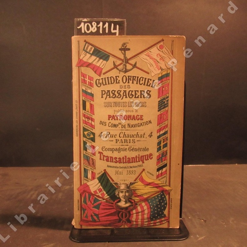
18931081141893 A Paris, Compagnie Générale Transatlantique - 1893 - In-8, broché, couverture illustrée en couleurs - 312 p. - Quelques illustrations, reproductions photographiques et cartes en N&B
ORD-3732Avec Cartes et Illustrations. Colombo. George J. A. Skeen. Ceylan. (1900). In-8 (139 x 215mm) broché, dos toile verte, couverture illustrée couleurs sur les 2 plats avec publicités en vert au verso, XXI, 156 pages (texte dans un cadre rouge), 2 cartes hors texte couleurs et très nombreuses illustrations photo en noir dans et hors texte. 1er plat, frontispice et titre un peu poussiéreux, sinon bel exemplaire. Rare.
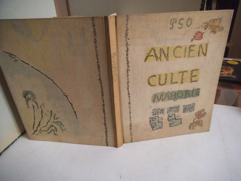
12959Manuscrit reproduit d’après l’original conservé au musée du Louvre (cabinet des dessins) photogravure offset en 6 couleurs et typographie en Bodoni corps 12 de l’imprimerie Georges LANG. Couverture par MOURLOT frères, cartonnage d’Engel. Edité par Pierre BERES LA PALME 5 juin1951. 37 reproductions d’aquarelles accompagnent le fac-similé du manuscrit autographe. 53 pages, présentation de l’ancien culte Mahorie par René HUYGUE 38 pages. Très bon état.