Admiralty ChartsMareMagnum

1 884 résultats
Anchorages in the Solomon Islands. In the upper part of the chart insert of Sketch of the Islands in Manning Strait between Choiseul and Ysabel Islands By M.r W. Hamilton 1908. Ysabel I from a sketch survey by Lieutenant F.C.C. Pasco, H.M. Surveying Ship "Dart" 1902. Taura Bay from an Austrian Government Plan, 1897. In the lower part of the chart insert of Sketch of the Southern portion of Lord Howe Islands (Ongtong Java or Leueneuwa) By Lieutenant G. Stapleton H.M.S. "Torch", 1900. London Published at the Admiralty, 9th May 1901, under the Superintendence of Rear Admiral Sir W.J.L. Wharton, Hydrographer. Small corrections: 1921. Autore: Admiralty Charts. Luogo: Salomon Islands - Pacific Ocean. Anno: '900. Tecnica: incisione. Dimensioni: 457x659 mm
Anchorages in the Solomon Islands Surveyed by Commander A.F. Balfour, assisted by the Officers of H.M. Surveying ship "Penguin" 1894. In the upper part of the chart insert of Marovo Lagoon. In the lower part of the chart insert of Mongo Entrance, Charapoana Entrance, Tongoro Entrance. London Published at the Admiralty, 24th Feb. 1896, under the Superintendence of Rear Admiral W.J.L. Wharton, Hydrographer. Small corrections: 1919. Autore: Admiralty Charts. Luogo: Salomon Islands - Pacific Ocean. Anno: '900. Tecnica: incisione. Dimensioni: 626x481 mm
Anchorages in the Solomon Islands. In the upper left corner of the chart insert of Beaufort Bay From a Sketch by M.r T.H. Switzer Master Schooner Roderick Dhu, 1896, Sutulahia Anch.e Sketch Survey by Lieut. W.R. Willis H.M.S. "Ringdove" 1895. In the middle part of the chart insert of Vura Anchorage From a Sketch by M.r T.H. Switzer, Master, Schooner, "Roderick Dhu"1896, Narovo Island Surveyed by Lieut. C.F. Odham and the Officers of H.M. Surveying Ship "Lark" 1882. In the right part of the chart insert of Auki Harbour Surveyed by Lieut. Com. R.L. Hancock and the Officers of H.M. Surveying Vessel "Sealark" 1913, Albatros Bay From an Austrian Government Sketch Survey, 1897, Ngora Fu Harbour From a Sketch Survey by Lieut. G.P. Bigg-Wither and the Officers of H.M.S. "Pylades", 1905. London Published at the Admiralty 20th Feb. 1907, under the Superintendence of Rear Admiral A. Mostyn Field, Hydrographer.Small corrections: 1927. Autore: Admiralty Charts. Luogo: Salomon Islands - Pacific Ocean. Anno: '900. Tecnica: incisione. Dimensioni: 617x470 mm
Anchorages in the Solomon Islands. In the left part of the chart insert of Kunggava Bay From a sketch by Lieut. Com. R. Crookshank, 1928, Queen Carola Harbour From a German Government Survey, 1883, Wanderer Bay By Capt. H.M. Denham, 1855. In the middle part of the chart insert of Port Adam By W. Hilliard, Master H.M.S. Havannah 1850, Mallu Harbour By M.r Haddock, 1877, Astrolabe Harbour By Mons.r Marescot, Enseigne de Vaisseau Corvette Astrolabe French Royal Navy 1838, Cockatoo Anchorage By T.C. Tilly, Master, H.M.S. Cordelia, 1861, Aowawa Roadstead By Capt. H.M. Denham, 1854. In the right part of the chart insert of Hada or Recherche Bay By T.C. Tilly, Master, H.M.S. Cordelia, 1861, Kwakwaru and Kwi Harbours Sketch by M.r W.T. Wawn 1888, Port Mary By Lieut. C.F. Oldham, 1882, Makira Bay By Capt. H.M. Denham, 1855, Hunter Roadstead By Capt. H.M. Denham, 1854, Popau H.r Sketch by M.r R. Haddock, 1877. London Published at the Admiralty March 10th 1864, under the Superintendence of Capt. G.H. Richards, Hydrographer. Small corrections. Autore: Admiralty Charts. Luogo: Salomon Islands - Pacific Ocean. Anno: '900. Tecnica: incisione. Dimensioni: 643x495 mm
Anchorages in Ysabel Island. In the left side of the chart insert of Kesuo Cove Surveyed by Lieutenant F.C.C. Pasco, assisted by Lieuts. C.E. Stainer, R. Aylen and K. Mackenzie-Grieve, H.M. Surveying Ship "Dart" 1902. In the right side of the chart insert of Tunnibuli Surveyed by Lieutenant F.C.C. Pasco, assisted by Lieuts. C.E. Stainer, R. Aylen and K. Mackenzie-Grieve, H.M. Surveying Ship "Dart" 1902. London Published at the Admiralty, 21st Dec. 1903, under the Superintendence of Rear Admiral Sir W.J.L. Wharton, Hydrographer. Small corrections: 1919. Autore: Admiralty Charts. Luogo: Ysabel Island - Salomon islands - Pacific Ocean. Anno: '900. Tecnica: incisione. Dimensioni: 461x662.
Anchorages in Ysabel Island. In the left side of the chart insert of Korrigole Harbour Surveyed by Lieutenant F.C.C. Pasco, assisted by Lieuts. C.E. Stainer, R. Aylen and K. Mackenzie-Grieve, H.M. Surveying Ship "Dart" 1902. In the right side of the chart insert of Vulavu Anchorage Surveyed by Lieutenant F.C.C. Pasco, assisted by Lieuts. C.E. Stainer, R. Aylen and K. Mackenzie-Grieve, H.M. Surveying Ship "Dart" 1902. London Published at the Admiralty, 11th Dec. 1903, under the Superintendence of Rear Admiral Sir W.J.L. Wharton, Hydrographer. Small corrections: 1920. Autore: Admiralty Charts. Luogo: Ysabel Island - Salomon islands - Pacific Ocean. Anno: '900. Tecnica: incisione. Dimensioni: 457x652 mm
Rough Sketches of Anchorages in the Solomon Islands. By M.r W.T. Wawn, Master, Brigantine "Ariel", 1888. In the left side of the chart insert of Tasman I.s or Niumanno Atoll, Atta Cove, Ariel Harbour From a Survey by Lieut. A.L. Jackson, under the direction of Lieut. Com. R.L. Hancock, H.M. Surveying Ship "Sealark", 1914, Manna Kwoi H.r. In the middle part of the chart insert of Deep Bay, Uras Cove, North Sister Anchorage, Double Bay. In the right side of the chart insert of Maramasike Passage. London Published at the Admiralty, 7th Oct. 1889, under the Superintendence of Captain W.J.L. Wharton, Hydrographer. Small corrections: 1930. Folded editorially. Autore: Admiralty Charts. Luogo: Salomon Islands - Pacific Ocean. Anno: '900. Tecnica: incisione. Dimensioni: 512x741 mm
In 8. Dim. 19x12 cm. Pp. 281+(3). Interessante opera di viaggi del 1886 di Albert David che descrive il suo viaggio lungo l'Oceano Pacifico.<BR>All'interno sono presenti dieci incisioni fuori testo che mostrano vedute: Baie Borja, Lima, Indiani peruviani, Tahiti ecc... Tra i luoghi descritti: Distretto di Magellano e Canali laterali della Patagonia, Lima durante vl'occupazione cilena, Valparaiso e i Cileni dopo la Guerra del Pacifico, Peru e Cile, Callao, Pisco, Pisagua, Arica e Tacna, Iquique, Lota, Una necropoli degli Incas, Honolulu, Un mese a Noukahiva, Tahiti ecc...<BR> In buone condizioni e completo Copertina editoriale in buone condizioni generali con lievi usure ai margini e dorso. Legatura in buone condizioni. All'interno le pagine si presentano in buone condizioni con fioriture. Interesting work of travel of 1886 written by Albert David describing his travel in the Pacific Ocean.<BR>Inside there are ten out of text planches showing different views: Baie Borja, Lima, Peruvian Indians, Tahiti ecc... Between the places described: District of Magellano and channels of Patagonia, Lima during Chile occupation, Valparaiso and Cileni after Pacific war, Peru and Cile, Callao, Pisco, Pisagua, Arica e Tacna, Iquique, Lota, a city of Incas, Honolulu, a month in Noukahiva, Tahiti ecc... In good conditions and complete. Editorial cover in good general conditions slightly worn in the edges and spine. Binding in good conditions. Inside pages are in good conditions with foxings.
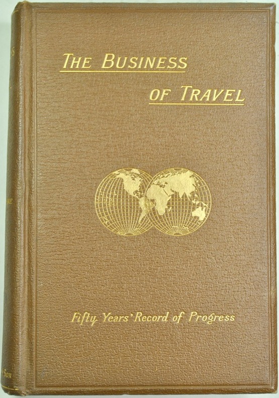
1891166London, Thos. Cook and son, 1891. In-8 de (1à)-318 pp., cartonnage de l'éditeur.
500344965EDITIONS DE CREMILLE Sans date. Le livre 'Pacifique Sud' de James A. Michener est un roman qui plonge le lecteur dans l'univers exotique de cette région évoquant les paysages l'océan et les îles. Il s'agit d'un voyage poignant qui met en lumière les marques indélébiles laissées par l'amour et la perte en temps de tourmente faisant du Pacifique Sud à la fois une scène de drame déchirant et un sanctuaire d'espoir
19871107871987 Editions de l'Estran / Le Chasse-Marée - 1987 - In-4, cartonnage toilé vert sous jaquette illustrée en couleurs de l'éditeur - 297 p. - Très riche iconographie in et hors-texte en N&B
199225139Editorial Océano 1992. unbound. Bueno. Grupo Editorial Océano. Barcelona 1988. 11 Volúmenes. E. Plástico decorado. 200 pp. Aprox. Por volúmen. 27x20. Recopilación selectiva ordenada y sistematizada de todos los conocimientos que se precisa adquirir en las etapas primaria y secundaria de la educación. Editorial Océano unknown
1853140891853 plaquette mauve grand in-octavo (mallow booklet in-octavo), dos manquant (is missing the spine), première et quatrième de couverture imprimées (front and back cover printed), gouttière en partie non coupée (fore-edge partly uncut), sans page de garde (without endpaper), page de faux-titre (half title page), texte à manchette (marginal note), illustration : 1 carte repliée en couleurs des "vents généraux dans l'Océan Indien" (a folding map in colours of General winds in Indian Ocean), très rares et légères piqûres (very rare and light points of redness marks), sans mouillure (without scar of waterstain), XIX+304 pages, 1853 à Paris Librairie Administrative de Paul Dupont,
18901397Paris, Calmann-Lévy, 1890. In-12 de XVI-308 pp., cartonnage éditeur.
18727106CBParis, Hachette, 1872. 8°. 742 S. Mit zahlr. Karten. Halblederband der Zeit. + Wichtig: Für unsere Kunden in der EU erfolgt der Versand alle 14 Tage verzollt ab Deutschland / Postbank-Konto in Deutschland vorhanden +, A|B [2 Warenabbildungen] 2e édition.
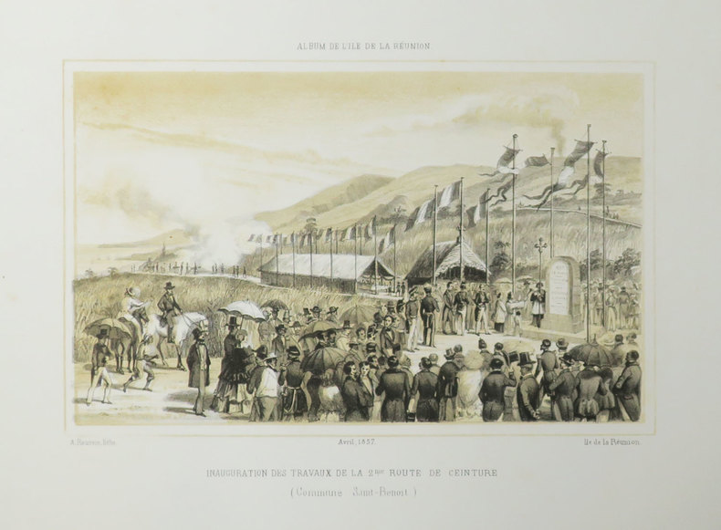
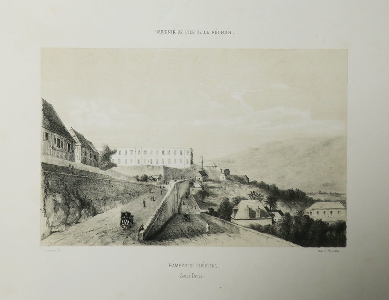
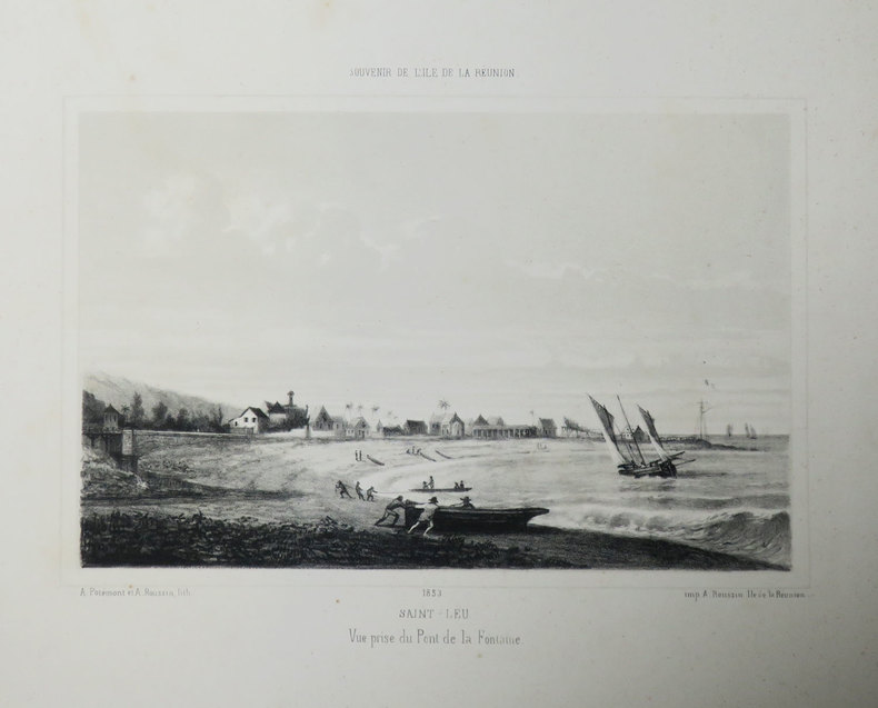
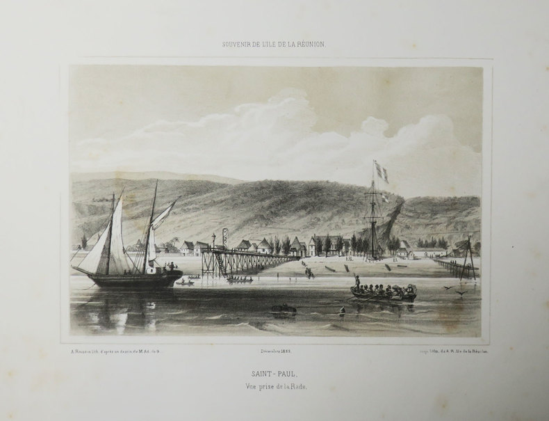
1857LBW-3509[Saint-Denis, Île de la Réunion], 1857. 175 x 228 mm.
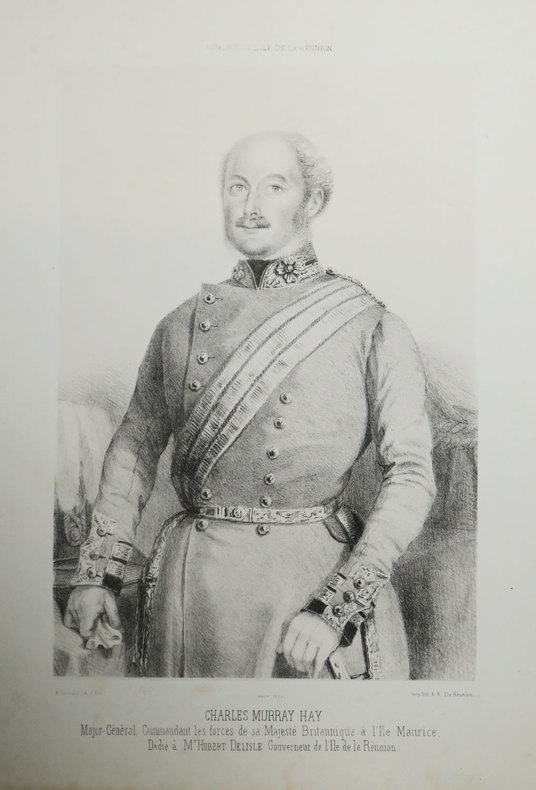
1855LBW-3501[Saint-Denis, Île de la Réunion], 1855. 268 x 161 mm.
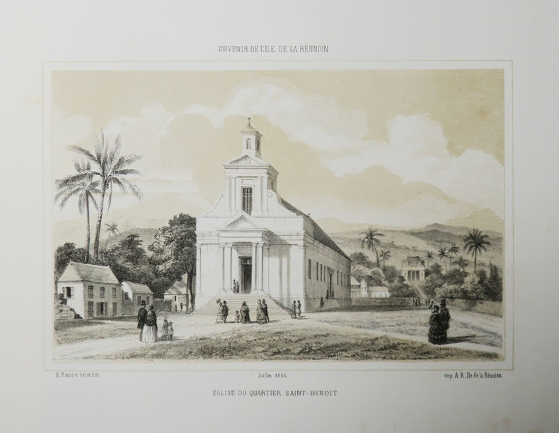
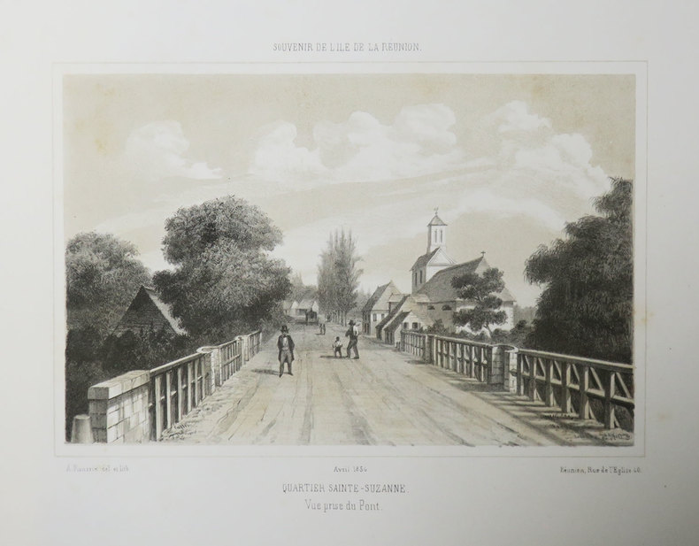
1856LBW-3507[Saint-Denis, Île de la Réunion], 1856. 162 x 217 mm.
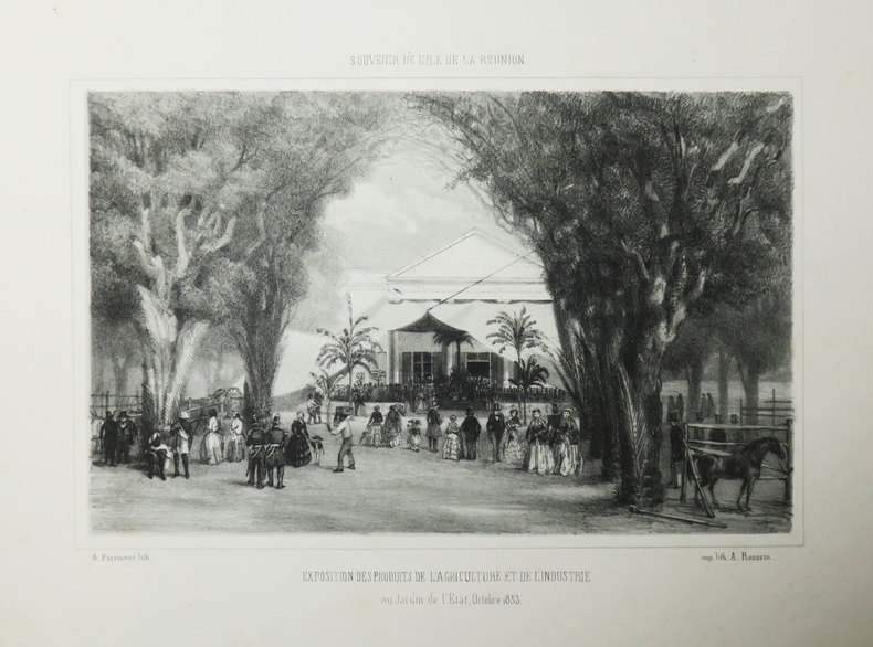
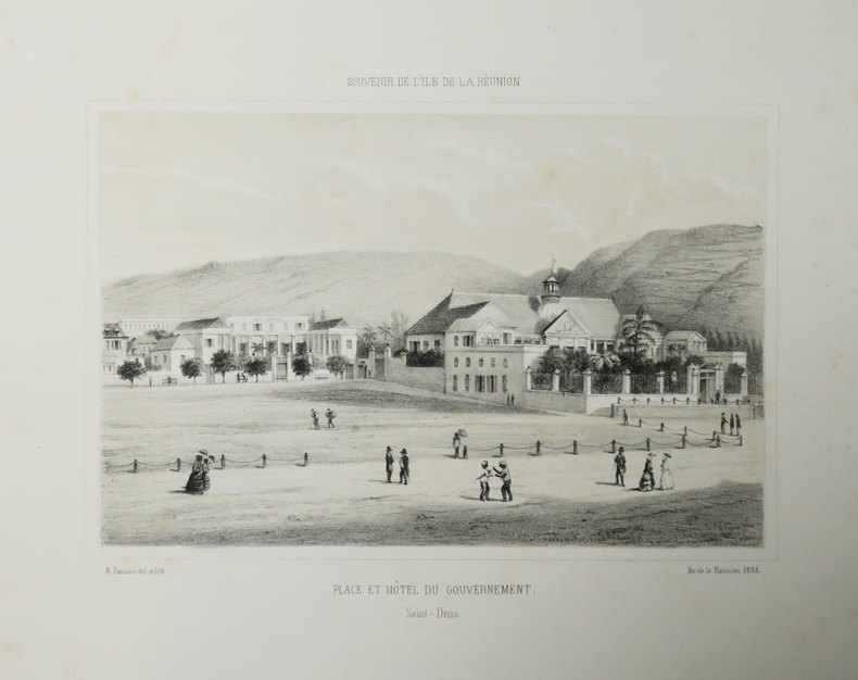
1853LBW-3514[Saint-Denis, Île de la Réunion], 1853. 168 x 223 mm.
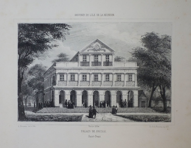
1854LBW-3412[Saint-Denis, Île de la Réunion], 1854. 168 x 217 mm.
1853LBW-3415[Saint-Denis, Île de la Réunion], 1853. 168 x 215 mm.
1856LBW-3510[Saint-Denis, Île de la Réunion], 1856. 170 x 216 mm.
1855LBW-3503[Saint-Denis, Île de la Réunion], 1855. 168 x 207 mm.
1853LBW-3409[Saint-Denis, Île de la Réunion], 1853. 168 x 219 mm.
1855LBW-3421[Saint-Denis, Île de la Réunion], 1855. 175 x 219 mm.