COOK (James).Livre Rare Book
74 résultats
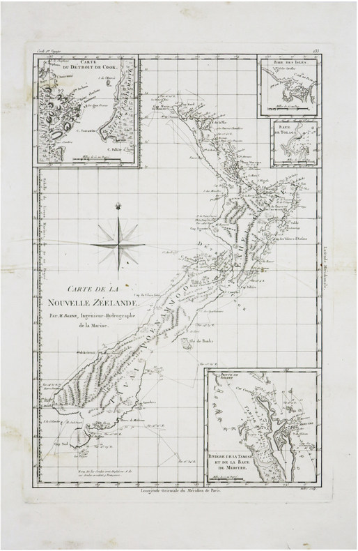
1785LBW-2855[1785]. 274 x 459 mm.
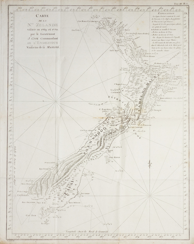
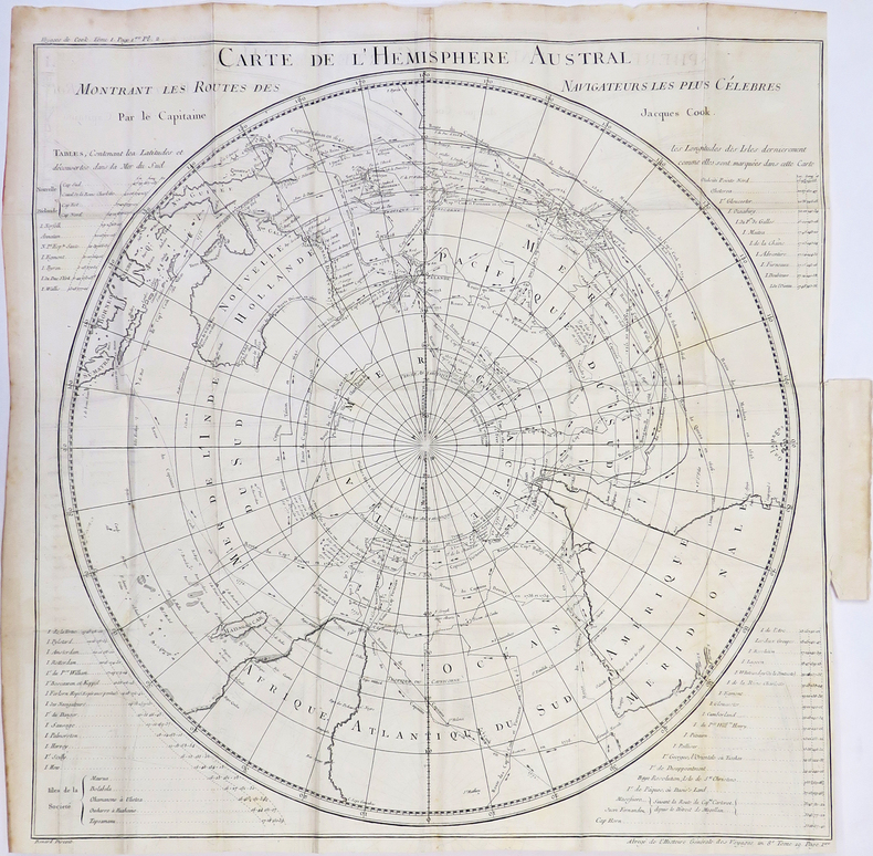
1797LBW-2784[Paris, 1797]. 684 x 493 mm.
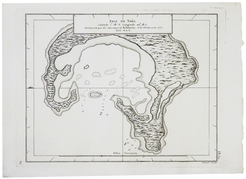
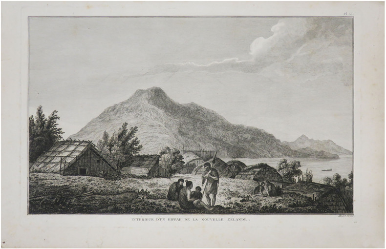
1785LBW-2857[1785]. 235 x 172 mm.
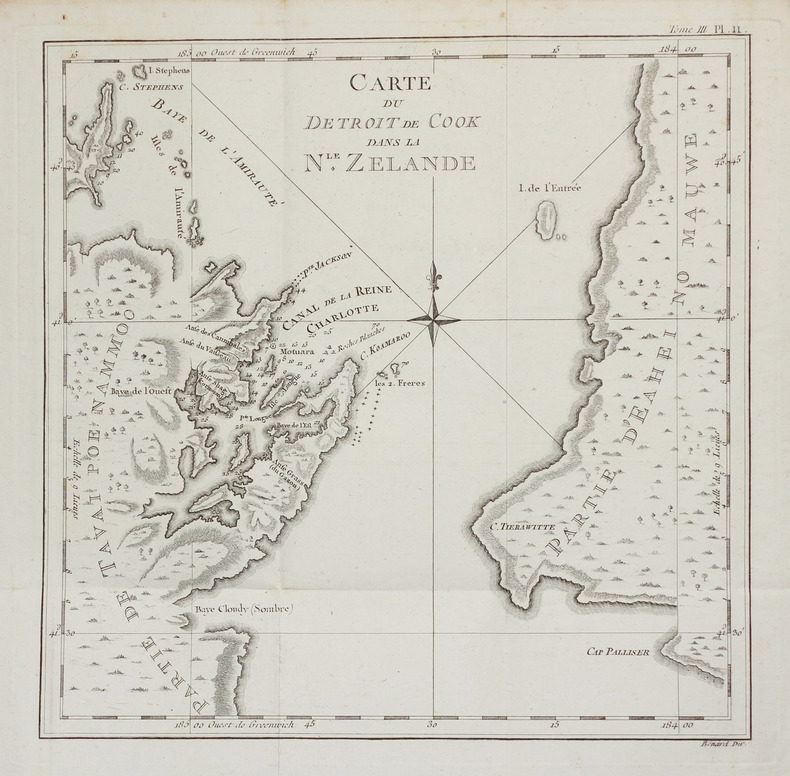
1785LBW-2858[1785]. 237 x 173 mm.
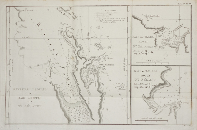
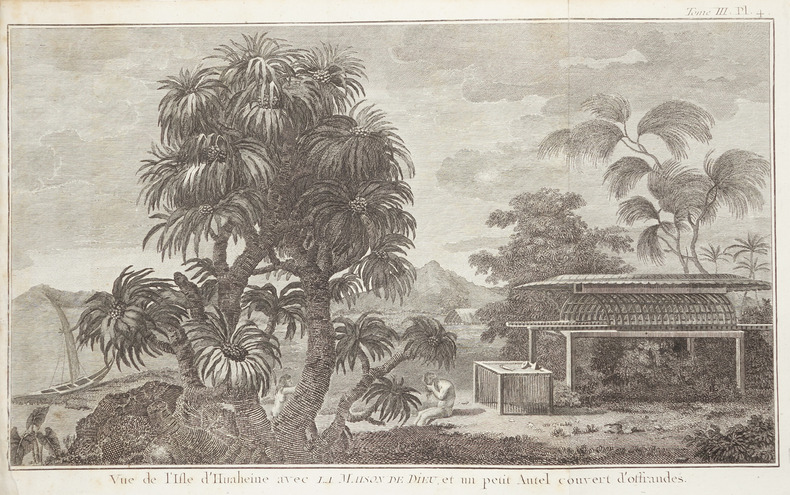
1785LBW-28591785. 230 x 499 mm.
1774LBW-17241774. 216 x 350 mm.
1782LBW-5810[1782]. 172 x 221 mm.
1774LBW-2757[1774]. 270 x 272 mm.
1788LBW-7242[1788]. 346 x 237 mm.
1785LBW-8758[1785]. 235 x 360 mm.
1780LBW-4310[1780]. 535 x 535 mm.
1774LBW-2672[1774]. 211 x 350 mm.
1774LBW-2850[1774]. 235 x 167 mm.
1774LBW-2851[1774]. 235 x 464 mm.
1774LBW-2853[1774]. 235 x 170 mm.
1780LBW-968circa 1780 337 x 462 mm.
1778LBW-8800[1778]. 220 x 348 mm.
1740703979Ulm, Verlag Daniel Bartholomäi und Sohns, 1739-1740. 31 nnr. Bl., Text zweispaltig, 2304 Sp.; 25 nnr. Bl., Sp. 2305-4752, 3 3 nnr. Blätter (Gesamtregister). Schlichte Ganzpergamentbände der Zeit mit handschriftlichen Rückentiteln. Neueres Exlibris eines Vorbesitzers auf Innendeckel, Seiten teils schwach gebräunt, sonst von sehr guter Erhaltung.
179214588Paris Janet Doreur 1792 cartonnage souple polychrome, tr. dor. (le Ier calendrier a 1 petit mq. de papier) in-32, front., 24pp. gravées, 24pp. imprimées, 12 gravures, 2 planches dépl. des mois de l'année. P. Janet doreur 1792
178915818Tourneisen Bâle 1789 1 vol. In-8 de XVI 381 pp., pleine basane fauve de l'époque, dos lisse fileté, pièce de titre, tranches rouges.
1749LBW-8991749 280 x 543 mm.
1790143934Paris: F. Dufart 1790. Very Good. Paris F. Dufart circa 1790. A hand-coloured engraved map printed surface 378× 415 mm sheet size approximately 420 × 540 mm. 'Gravée par Tardieu l'Ainé . Dessiné par Poirson . Ecrit par Beaublé'. Original folds as issued; some minor uneven tanning; in very good condition. An uncommon chart of the Pacific Ocean and Australia showing magnetic variation and dip drawing on observations made in the course of Pacific voyages after 1775 most notably Cook's third voyage. It is most likely from a duodecimo edition of Buffon's 'Histoire naturelle générale et particulière' around the end of the eighteenth century 'PL. III. Tome XVI' and 'Page 58' are printed in the top margin. It is based on a larger chart in four sheets attributed to Jean-Charles de Borda. The engraver Tardieu is one of half a dozen members of the family working as engravers at the period one of whom P.A.F. Tardieu would engrave the charts published in the official account of the Baudin voyage. F. Dufart unknown
177521548Paris 1775. Very good condition. Large detailed copper engraved map of Captain Cook's voyage in the Resolution of New Caledonia and the New Hebrides islands in the south Pacific with the tracks and the dates indicated. From Prevost's "L'Histoire Generale des Voyages".<br /> <br /> Bellin 1703 - 1772 one of the most noted French mapmakers of the 18th century was named the hydrographer chief cartographer to the French Navy and later the Official Hydrographer to the French King.<br /> <br /> Folding 19 x 15 1/4". Strong impression very clean. unknown