445 résultats
18480008767circa 1848-9. Fine. 8.5 x 14.5 cm / 11 x 17.5 cm; <br/><br/>Having already accepted Texas as its 29th state in 1845 the U.S.A. in The Treaty of Guadalupe Hidalgo 2 February 1848 acquired 6 additional territories including Californa which eventually acquired statehood. This map was the recto of leaf 378/379 in probably a then-new history textbook. It is the same map with the identifier DLMW148 on the ImageBase of Virginia Tech University. This hand-colored in outline map shows the old boundaries and the new boundaries of Texas Upper California and Mexico and eastward to the Mississippi River and the Gulf of Mexico. unknown
1870VZ219291870 3 p., 1 figure, 1 lithographed plate, disbound (no covers, loose). Published in: Proceedings of the Zoological Society of London. The plate by Smit.
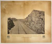
187510295Boston: Heliotype Printing 1875. Heliotype 38 cm x 48 cm on cream colored stock 55 cm x 66 cm with printed title and credit. Overall age toning. Heliotype promoting the Union Pacific line with a view of the tracks crossing Sherman Hill and the Continental Divide outside of the now ghost town of Sherman Wyoming. Sherman Hill is one of the landmarks on the transcontinental railroad and the highest point on the original U.P. line with a summit topping of 8247 feet above sea level. Sherman Hill is one of the easiest crossings of the Rockies and today it is one of the busiest lines. We are unable to locate another example of this poster. Rare. Heliotype Printing unknown
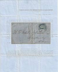
1857010681New York 1857. Envelope or Cover. Very good. This printed circular is titled “Transfer Office of the Southern Pacific Rail-Road Company / No. 54 Wall-Street / New York May 30 1857.†It is addressed to W. P. Mehville Wilne Esq. of Sandusky Ohio and franked with an imperforate Franklin stamp Scott #9 canceled by a black circular New York postmark. In nice shape with a tiny bit of soiling to the edges. </p> <br /> <br /> <p>The notice reads in part:</p> <br /> <br /> <p style="margin-left:5%; margin-right:10%;">“An installment of fifty cents a share will become due and payable on the three percent. Stock held by you in the Company on the first Monday of July next. . . Stock on which said instalment shall not be paid will be sold at auction in conformity with . . . the Charter. . .</p> <br /> <br /> <p style="margin-left:5%; margin-right:10%;">“About sixteen miles of our ‘Road’ are now graded and nearly furnished with cross-ties – twenty-four hundred and seventy-eight tons of rail-road iron have been bought and paid for and sent up Red River – sufficient to finish twenty-five miles of road.â€</p> . The Southern Pacific Rail-Road referenced in this document is not the much more famous transcontinental route. This railroad was founded on 16 February 1852 officially as the Vicksburg and El Paso Railroad although throughout the document it was referred to as the Texas Western Railroad. It was later bought by the Atlantic and Pacific Railroad for $600000. It was later acquired by Texas interests and its named officially changed to the Southern Pacific Railroad the predecessor of the Texas and Pacific Railway. It was never associated with the later and more famous transcontinental Southern Pacific.</p> <br /> <br /> <p>During 1857 the railroad laid 23 miles of track between Marshall and Swanson’s Landing on Caddo Creek. During the Civil War the line was connected to Shreveport Louisiana. In 1872 it was sold to the Texas Pacific Railroad Company which in 1976 merged with the Missouri Pacific Railroad.</p> <br /> <br /> <p>For more information see Werner’s “History of the Texas Western Railroad Companies†and “History of the Texas and Pacific Railway Company†both at the Texas State Historical Association website.</p> <br /> <br /> <p>Scarce. At the time of listing no other documents from this Southern Pacific Railroad are for sale in the trade. Although no other 1857 circulars documenting the construction of the first 16 miles of its track have been sold at auction other materials related to it have. OCLC shows no materials related to this Southern Pacific Railroad are held by institutions however it is possible there may some within the Texas & Pacific Railway Collection at the University of North Texas.</p> . unknown
18821204Portland Or: George H. Himes 1882. About very good. 328pp. plus photograph frontispiece. Original printed wrappers. Spine ends chipped; some light dust soiling and wear to wraps. Slight fading to frontispiece photo but a clear image. Light even tanning internally; three leaves with small patches of damp staining. A scarce 1882 promotional for potential excursions from Portland Oregon published in conjunction by the Northern Pacific Railroad and the Oregon Railway & Navigation Company. The work is illustrated with a real photograph of the Multnomah Falls east of the city on the Columbia River. The text prints itineraries for ten trips from Portland in the Pacific Northwest to the Cascades the Dalles Seattle Tacoma Olympia Ilwaco and even Alaska almost all via the steamers of the Oregon Railway & Navigation Company. The final four leaves of text contain numerous illustrated advertisements for Portland businesses. The frontispiece photograph of the Multnomah Falls is credited in print to Issac Grundy Davidson. "One of the Northwest's premier photographers Davidson published an extensive series of scenic photographs covering many aspects of life and scenes throughout Oregon Washington and Alaska. He operated portrait studios a traveling gallery and contracted with the Northern Pacific Railroad. A keen businessman who produced the finest photographic record of Oregon during the 1870s-80s" - Mautz. An excellent example of the collaboration between a pre-eminent photographer of the Pacific Northwest and the Northern Pacific Railroad as well as an unusual and scarce specimen of a rail and river travel promotional illustrated with a real photographic print. George H. Himes unknown books
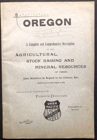
1890H22859Battle Creek MI: Wm. C. Gage & Son 1890. Paperback. Very Good. Stated Third Edition Revised. 8.25 x 5.5 inches gray printed wraps very good contents tanning. 108 pp full page map on inside front cover no other illustrations. A more substantial 264 pp. version seems also to have been issued interspersed with many ads. This promotional pamphlet is rarer. Wm. C. Gage & Son paperback
185976593Washington DC.: Beverley Tucker Printer. Very Good. 1859. First Edition. Hardcover. Ex-library with the usual markings. This volume is hard-bound in blind-stamped brown cloth with faded gilt stamping to the spine. The binding has been repaired / reinforced at some point with some type of lacquer covering the spine and so the volume is sound and tight. There is edge-wear and rubbing to the corners and spine-ends. There is some wear/chipping to the joints. Some modest light foxing but overall the work is bright and fresh. This work is complete with plates of reptiles fishes frogs birds snakes and mammals and 28 beautifully hand colored engravings of birds. . Beverley Tucker, Printer hardcover books
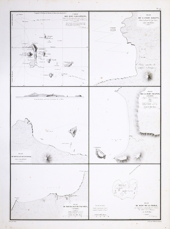
1833LBW061b0[Paris, 1833]. 370 x 233 mm.
18762754Paris, Imprimerie Nationale, 1876. In-8 broché de 226 pp., couverture bleue imprimée.
18752755Paris, Imprimerie Nationale, 1875. In-8 broché de 207 pp., couverture bleue imprimée.
18772756Paris, Imprimerie Nationale, 1877. In-8 broché de 268 pp., couverture bleue imprimée.
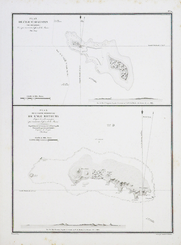
1827LBW-4441[1827]. 495 x 361 mm.
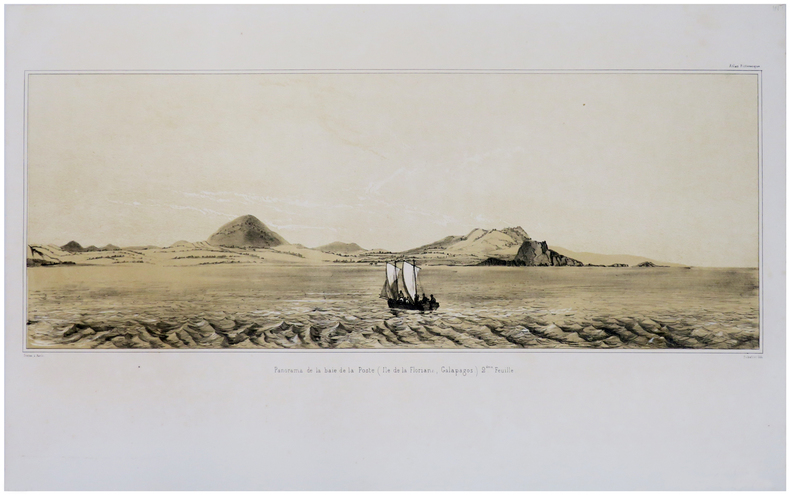
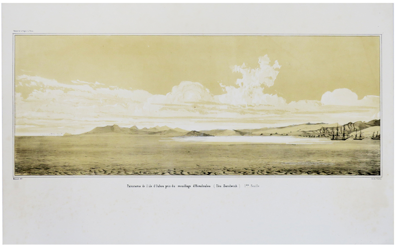
1841LBW-1781[Paris, 1841]. En deux feuilles non jointes pouvant former un panorama d'environ 211 mm x 1,02 m.
1827LBW-4426[1827]. 500 x 361 mm.
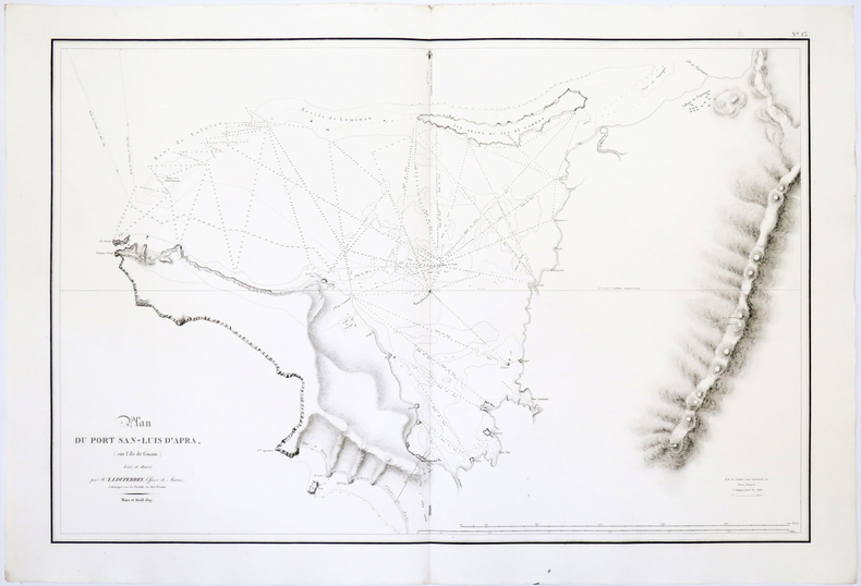
1826LBW-4990[Paris, 1826]. 502 x 764 mm.
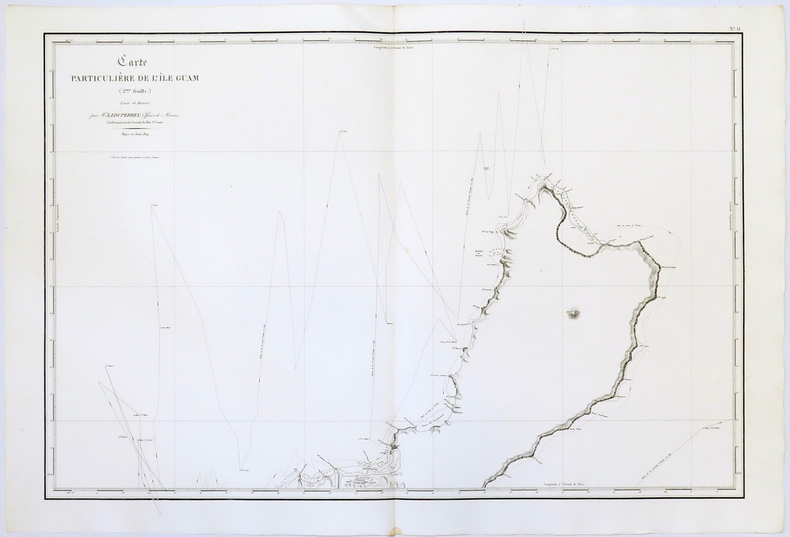
1826LBW-5047[Paris, 1826]. En deux feuilles de 509 x 768 mm chacune.
1841LBW-1782[Paris, 1841]. En deux feuilles non jointes pouvant former un panorama d'environ 217 mm x 1,02 m.
1840LBW-3642[1840]. 220 x 291 mm.
1827LBW-4442[1827]. 498 x 351 mm.
1827LBW-4444[1827]. 760 x 503 mm.
1827LBW-4445[1827]. 729 x 513 mm.
1827LBW-4446[1827]. 502 x 362 mm.
1833LBW061aaParis, [1833]. 352 x 262 mm.
1833LBW061abParis, [1833]. 332 x 275 mm.