SOEDIMAN, DrsAntiquariat.de
Global Aquatic And Atmospheric Environment
1999Star-9783540653691Springer 1999. Hardcover. New. Springer hardcover
1 044 résultats
19741094494(Jakarta) 1974, 1974. 52 S. m. Abb. OKart.
19761096190Kattack, Cuttack Students Store, (1976). 2 Bl., 2, 144 S., 3 fotogr. Taf. OPp. m. OUmschl.
1999Star-9783540653691Springer 1999. Hardcover. New. Springer hardcover
1999Star-9783540653691Springer 1999. Hardcover. New. Springer hardcover
19471094112London, Society for Promoting Christian Knowledge, (1947). 8 S., 1 Bl., 375, (1) S., 2 Bl. Mit 40 fotogr. Taf. OLwd.
19691092764Hongkong, The Far Eastern Economic Review, (1969). 498 S. m. zahlr. Abb. u. Kart. OKart.
198624214Kyoto, Japan, Shikosha, 1986. Text engl. u. japan. 292 S., zahlr. meist farb. Illustr. 4°, OBrosch.
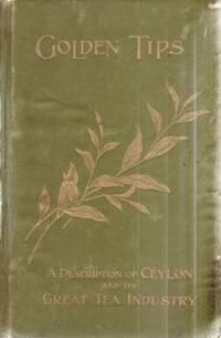
190117250London: Samson Low Marston and Company. 1901. Hardcover. Very Good. Moderate rubbing to boards. ; Green cloth boards with gilt lettering and gilt tea leaf. All edges gilt. Profusely illustrated. A handsome copy with tight binding; 8vo; 476 pages . Samson Low, Marston and Company hardcover
19733140353Bangalore: Theological Publications in India Without year (1973). 179 pages. 8° (17,5-22,5 cm). Orig.-Broschur. [Softcover / Paperback].
197555244ABLeipzig, St. Benno Verlag, (1975) Folgeauflage 1981. 8° (19x13), 976 S., schwarzer OLdr mit goldPrägung, dreiseitiger Goldschnitt, 4 Lesebändchen, 4.Aufl. Name auf Vorsatz, kaum genutzt, fest sauber und gepflegt,
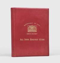
1929173000Bombay: Published for the Railway Board by the Great Indian Peninsula Railway 1929. Untraced institutionally The second iteration of this ambitiously comprehensive publication. The large folding map in the end pocket distinguishes between general and deluxe section services and shows broad metre and narrow gauge lines steamer routes and roads. The insets concern Delhi Calcutta and other interchange destinations. While passengers already had access to Newman's Indian Bradshaw and other commercially published guides the All-India Time-Table was the first official attempt at an encyclopaedia of the country's railway services. Compilation was overseen by the head office of the Great Indian Peninsula Railway following the government's assumption of the company's management in 1925. The timetable was periodically updated and reissued. This iteration was succeeded by the version that came into force in September 1929. Copies were sold at India's main railway stations. Quarto. Large folding network map in rear pocket 37 charts and plans and many tables in text; advertisements at front and rear. Some leaves printed on blue or green paper. Original red calf bevelled boards front cover lettered and with British Government arms in gilt purple marbled endpapers. A few minor abrasions to binding skinning from removed label on first blank text browned as expected couple of leaves proud at fore edge: a near-fine copy. hardcover
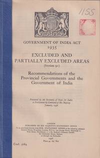
1936214466London.: His Majesty's Stationery Office. January 1936. Charts and tables xl 248pp mylar front cover and card rear cover prior owner chop on title page. A good copy. 24 x 13.5cm.<P> The term 'Excluded Areas' and 'Partially Excluded Areas' originated in the Government of India Act 1935. These were regions which had a significant population of Scheduled Tribe communities and for that reason were considered to require special administrative provisions.<P> <b>When referring to this item please quote stockid 214466</b> . His Majesty's Stationery Office. unknown
1997x-0792344782Kluwer Academic Pub 1997. Hardcover. New. 303 pages. 10.00x6.75x0.75 inches. Kluwer Academic Pub hardcover
1997F1-752FTiger Books 1997-01-01. Hardcover. New. Tiger Books hardcover
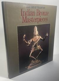
1988138New Dehli India: Specially published on behalf of the Festival of India by Brijbasi Printers 1988. 1st Edition. Hardcover. 2o pp. 180; color illustrations throughout; gray/brown cloth boards in same color jacket; jacket is taped to boards; jacket has shelf wear but is otherwise good; text is bright and clean; all else good and sound. Specially published on behalf of the Festival of India by Brijbasi Printers hardcover
1929151011929. This rare pamphlet "Act No. XIX of 1929 Passed by the Indian Legislature.An Act to Restrain the Solemnisation of Child Marriages" was a critical step in protecting girls. At the time that this description was written there are no copies of this work in American institutions and OCLC search results are at best an estimate that can vary over time.<br /> <br /> Child marriage was historically prevalent in India where the International Center for Research on Women reported that 47% of Indian weddings in the early 20th century involved brides under the age of 18. Poverty was a driving factor in child marriage as families in financial straits could improve their economic standing by marrying their daughters to wealthier older men. Yet as other countries began making improvements for women and girls India too recognized the dangers inherent to girls' health and well-being when they were married and became mothers while still in their own childhoods. This pamphlet which is the only known copy according to OCLC Worldcat details the "punishment for male adult below twenty one years of age marrying a child punishment for male adults over twenty one years of age marrying a child and punishment for solemnizing a child marriage." While child marriage does persist in India its rates have gone down and modern India has joined the South Asian Initiative to End Violence Against Children SAIEVAC which adopted a regional action plan to enforce the marriage bans and end child marriage in and beyond its own borders. unknown
19300376841930. Original photographs. Clear-cover binder. Very Good. Black & white photographs: seven 7 measuring 2.5" x 3.5" and nineteen 19 approximately 2" x 2". Many of the photographs have brief captions on the versos. Housed in clear sleeves and a report cover 11.5" x 9" Images include: Parade of the Painted Elephants in Mysore; street scenes; sidewalk merchants; snake charmer; Hindu shrine; railroad station; government gardens; burying the dead; Indian fakir; Desarha celebration; temples; sacred bull; &c. unknown
19101092928Berlin, Gebr. Paetel, 1910. Gr.-8vo. 6 S., 1 Bl., 252 S. m. 1 farb. Porträt u. 10 Farbtaf. Hlwd.
19241154886Hellerau, Avalun-Verlag, (1924). 4to. 141 S., 48 Taf. OLwd.
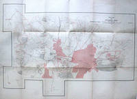
1934275256India: Survey of India 1934. Colored offset Lithograph. Sheet maps 22" x 29.5".<br/> <br/> This 1934 pocket map depicts the plan of the Gulbarga Fort and vicinity located in the northern part of the state of Karnataka at the time Hyderabad State in southern India. Beautifully detailed the map notes the fort important roads lakes wells vegetation and a host of other topographic elements.<br> <br> Originally built by Raja Gulchand a feudatory of the Warangal Kakatiyas it was further fortified and enlarged in 1327 by Sultan Al-ud-din Bahmani of Bahmani Sultanate in 1327 and Adil Shah. Various monuments such as mosques palaces tombs and other structures were also built. Most notable of these is the Jami Masjid built on the lines of the Great Mosque of Cordoba in Spain is one of the first mosques in southern India. The fort remained the capital of the Bahmani Kingdom until 1424. Later the fort would be razed by the Vijaynagar Emperor and subsequently rebuilt by Yusuf Adil Shah the founder of the Bujapur Sultanate.<br> <br> This map was published under the authority of Brigadier H. J. Couchman Surveyor General of India. It is in good condition with minor wear along the original folds and some offsetting. The map is lined with silk.<br/> <br/> Survey of India unknown
19759860Bombay, Longman,, 1975. 1. edition 119 pages 8° Orig-Cloth, dust jacket slightly damaged, good copy.
198141139Hamburg, 1981. 24 S. OBrosch.
19841093938(München), Prestel, (1984). Gr.-8vo. 199 S. m. zahlr. teils farb. Abb. OKart.
1942198066India: U.S. Army Forces in China Berma India 1942. Paperback. Good Heavily worn leather folder; many pages are annotated with practice Chinese characters or this book may have been used by a Chinese person to learn English; scattered toning and stains throughout; binding is solid. Brown leather binding with debossed lettering; 4 t.o.; folded map in pocket ifc; approximately 110 pp.; map; illustrations. An interesting wartime guide book issued by U.S. Armed Forces India a guide to the study of Chinese culture and language used by American forces stationed in the China-Burma-India theater of World War II. Sections provide English-to-Chinese translations on important military medical artillery and everyday terms. A notable section at the end even explains features to look for when trying to identify Japanese aircraft. Bound in a heavily worn leather folder many pages are annotated with practice Chinese characters or this book may have been used by a Chinese person to learn English. Scattered toning and stains throughout. [U.S. Army Forces in China, Berma, India] paperback