Livre Rare Book
31 résultats
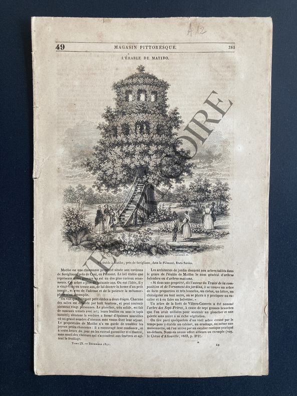
1841ABE-44582246708 PAGES-L'ERABLE DE MATIBO/GRAVURE-SAUVAGES DU DETROIT DE TORRES DANS LA POLYNESIE/GRAVURE-QUELQUES ROUSSEURS
1846ABE-72804726808 PAGES IN 4-LES ILES UVEA OU WALLIS DANS LA POLYNESIE CENTRALE/NOUVELLE CALEDONIE/3P/4 GRAVURES
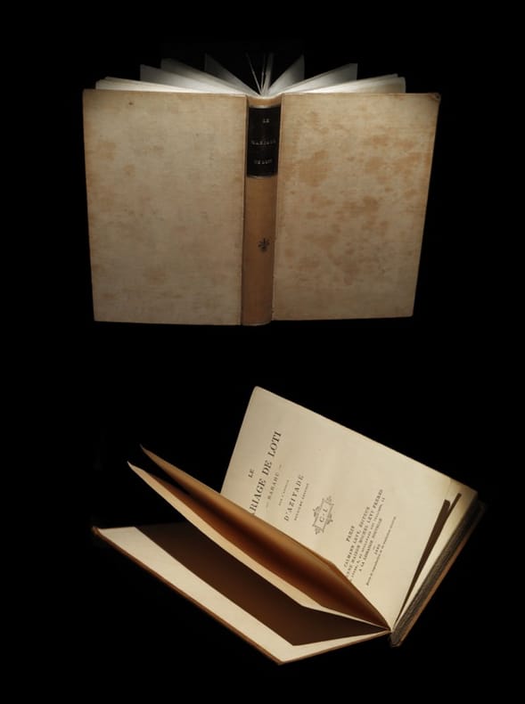
188026153Paris, Calmann Lévy, / A la Librairie nouvelle, 1880. Un vol. au format in-12 (188 x 123 mm) de 4 ff. n.fol. et 297 pp. Reliure de l'époque de pleine percaline satinée grège, plats jansénistes, dos lisse orné de doubles filets dorés, fleuron central en noir, pièce de titre de maroquin ébène, titre doré, date dorée en queue.
1863ABC_47184Papeete: Imprimerie du Gouvernement 1863. Original publisher's printed wrappers. Small 8vo. With two original photographs in the 1863 edition both reproducing maps one showing the islands Tahiti and Moorea and the other showing archipels which were then under French protectorate. 2 volumes. With: 2 IDEM. Annuaire des établissements français de l'Océanie et du Protectorat des Iles de la Société et dépendances pour l'an 1864 title on the front wrapper: Annuaire de Taïti pour 1864.Papeete Imprimerie du Gouvernement October 1864. Two very rare issues of an administrative annual periodical in the form of an almanac on Tahiti Moorea and other parts of French Polynesia printed in Papeete the capital of French Polynesia and Tahiti. In 1842 the French proclaimed the protectorate over the islands and atolls in the different archipelagos of French Polynesia including Tahiti which is the most populous island. Both issues contain a calendar in addition to the many pages listing various members of the local and colonial government and judiciary. Both issues also contain demographic information about the population and trade including lists showing who has a patent on what tables on the import and export in the port of Papeete but also tables showing the different rates for posting letters from Polynesia through the colonial mail service. Besides this administrative information the yearbooks also contain geographical information on the Society Islands both the Windward Islands or Îles du Vent including Tahiti and Moorea and the Leeward Islands or Îles Sous le Vent among others Bora-Bora and Raiatea the Marquesas Islands and the archipelago of Tuamotu besides some small remarks on others places in Oceania.With the blind-tooled stamp of Carlos Bailly-Balliere C. Bailly Balliere Libreria Estranjera y Nacional Madrid" on both title pages with some contemporary labels mounted on the front wrapper and spine reading "E" and "1"; "C" and "3". Wrappers are a little worn some soiling on the back wrapper of the 1863 issue a light crease in the front wrapper of the 1863 issue book blocks cracked and therefore some leaves are a little or almost loose. The 1863 issue is slightly foxed also on the leaves on which the photographs are mounted but not affecting the maps. Otherwise in good condition. Both annuals are very rare and seldomly offered for sale.l O'Reilly & Reitman 10283 & 10284. Imprimerie du Gouvernement, unknown
186297509London, Longman, Green, Longman, and Roberts 1862 In-8 20 x 12,5 cm. Cartonnage éditeur pleine percaline verte, fer doré sur le premier plat, plats encadrés de grecques noires, XXIII-423 pp., une carte repliée de l’archipel des Hawaii, 5 gravures hors-texte, table des matières. Exemplaire de travail d’un ouvrage peu courant. En l’état.
18512027AG1851. London & New York J & F. Tallis 1851. Original steel engraving / Vintage map. Drawn and engraved by John Rapkin. Partly hand-coloured. Plate Size: 35.7 cm x 25.8 cm. Sheet Size: 37.5 cm x 27.3 cm. Vintage 19th century map in very good condition. John Tallis 7 November 1817 3 June 1876 was an English cartographic publisher. His company John Tallis and Company published views maps and atlases in London from roughly 1838 to 1851. Tallis set up as a publisher with Frederick Tallis in Cripplegate in 1842; the business moved to Smithfield in 1846 and was dissolved in 1849. From 1851 to 1854 Tallis operated as John Tallis and Company. He started The illustrated news of the world and national portrait gallery of eminent personages in 1858 selling it for £1370 in 1861; it folded in 1863. Wikipedia The most important project John Tallis undertook was the 'Illustrated Atlas' from 1851. The original map we offer here was part of this exceptional Atlas and all the maps it contained are still today considered as the last reminder of an era of lavish map production. Tallis worked the project together with John Rapkin 1815-1876 and it was Rapkin's style and talent that we have to thank for when we marvel at these maps today. What makes these maps so special is the detail of engraved vignettes that surround the map and often show indigenous scenes people in their environment and even more so historical buildings or historical views of towns and cities architecture and landscape. The project of 'The Illustrated Atlas' was designed to be finished just in time for the anxiously awaited "Great Exhibition of the Works of Industry of All Nations" or The Great Exhibition sometimes referred to as the Crystal Palace Exhibition in reference to the temporary structure in which it was held was an international exhibition that took place in Hyde Park London from 1 May to 11 October 1851. It was the first in a series of World's Fairs exhibitions of culture and industry that became popular in the 19th century and it was a much anticipated event. The Great Exhibition was organized by Henry Cole and Prince Albert husband of the reigning monarch Queen Victoria. It was attended by numerous notable figures of the time including Charles Darwin Samuel Colt members of the Orléanist Royal Family and the writers Charlotte Brontë Charles Dickens Lewis Carroll George Eliot and Alfred Tennyson. Music for the opening was under the direction of Sir George Thomas Smart and the continuous music from the exhibited organs for the Queen's procession was "under the superintendence of William Sterndale Bennett". Wikipedia unknown
1883A91349Bruxelles, Société royale belge de géographie 1883 pp.701 à 780 & 7pp.de compte rendu des actes de la société, 23cm., br.orig., bon état, [contient principalement: DU FIEF J.: Les congrès nationaux de géographie en Allemagne et en France en 1883 (pp.701-722), PELTZER J.: Polynésiens et Malais (pp.723-739)], A91349
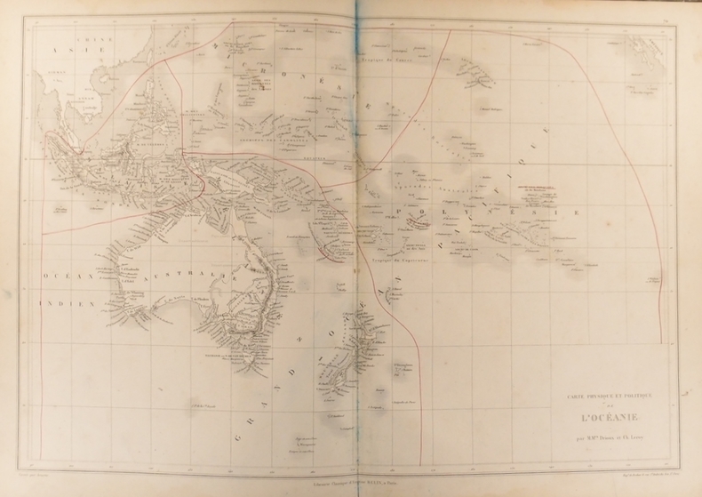
1837ABE-155369744991147,5 CM X 34 CM-NOIR ET BLANC AVEC LIMITES COLORISEES
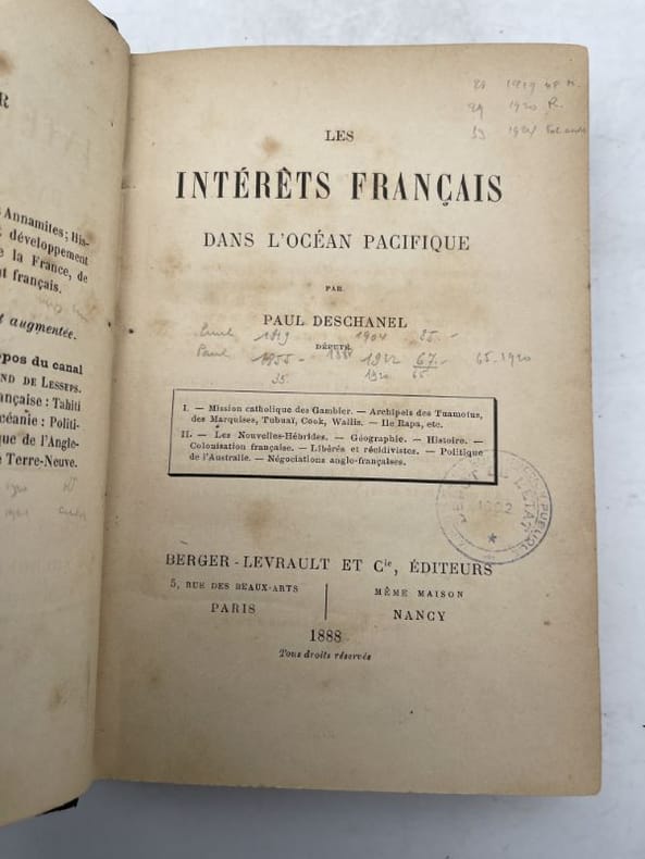
1888184180Berger-Levrault Paris, Berger-Levrault, 1888. In-12 relié demi-basane noire, dos lisse, titre doré. VI + 387 pages. Papier un peu jauni.
1863LFA-126722135Un ouvrage de 515 pages, format 120 x 185 mm, relié cartonnage dos cuir à nerfs, publié en 1863, Librairie de Firmin Didot Frères, Fils et Cie, bon état, peu courant
189020975Paris G. Masson 1890 in-4 br., couv. bleue impr., petits défauts au dos
1900100074540Paris. 16 5 cm x 25 cm. 1900. Broché. 119 pages. Paris Éditions Auguste Challamel 1900. Broché 16 5 cm x 25 cm 119 pages 6 cartes hors-texte. Texte de F. V. Picquenot .Dos factice sinon bon état intérieur. Rarissime
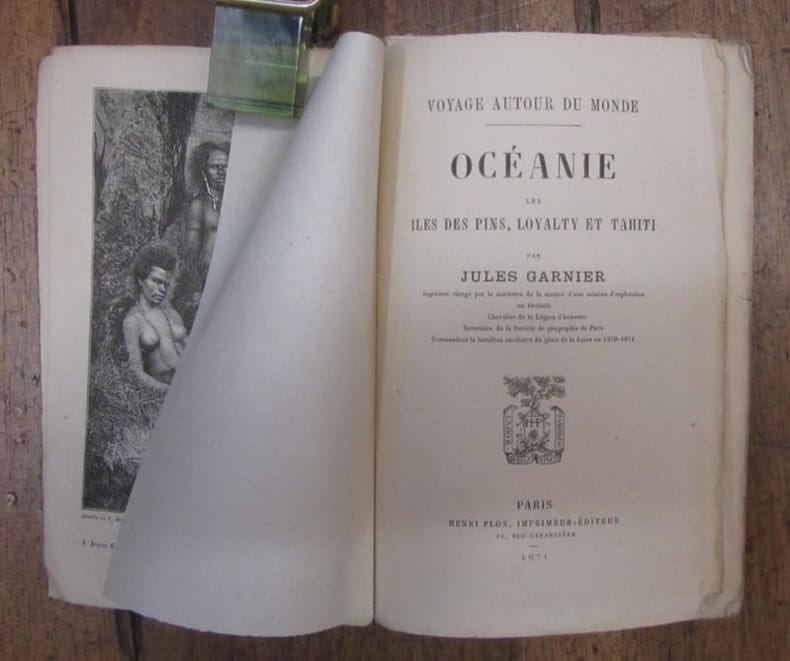
1875GITe116Paris Plon 1875. In-18 broché 2 feuillets non chiffrés 2-388pp. illustré de 4 gravures hors texte et 1 grande carte dépliante en couleurs. Petits manques en bordure du 2e plat de la couverture. exemplaire bien complet du texte et des gravures. 2e édition.
1871852161871 Paris, Plon, 1871, in 12 broché, 388 pages ; couverture effrangée, dos fendu
185322672Paris Firmin Didot 1853 in-8 de 4 ff.n.ch. et 284 pp. toile rouge moderne, rousseurs
18554619Murray, London 1855. XVI, 333 S. mit gest. Frontispiz, gest. Titelvignette, 11 Tafeln, 2 Abbildungen u. mehreren Notenbeispielen. Grünes Illustr.-Ln. Einband verblichen. Rücken stärker beschädigt. Gelenke locker. Teils etwas stärker stockfleckig.
18874343ABLondon, Swan Sonnenschein, Lowrey, 1887. 8°. Frontispiz (Karte), XVI, 384 S. und fotogr. Abbildungen auf 10 Tafeln (davon 1 mit Notenbeispielen)., 1
1847GITk103In-4 2ff non chiffrés (faux-titre, titre) 112pp 1 feuillet non chiffré table des matières. Demi basane vert foncé, dos lisse orné de filets et chaînettes dorés, reliure de l'époque. Nombreuses vignettes dans le texte et 19 belles planches de costumes en couleurs. Rousseurs, reliure en bon état. Relié à la suite, paginé 1 à 56 et 1 feuillet non chiffré de table (planches pour l'Afrique) on trouvera les textes de la même collection intitulés Syrie, Asie Mineure, Arménie, Kurdistan, Ottoman, Al-Djeziren, Irak-Arabi avec seulement des vignettes dans le texte.
189114868Cherbourg Imp. E. Le Maout [1891] gr. in-8 de 26 pp. numér. [231] à 256 en feuilles
18761908210711xbvkAmsterdam, C. G. van der Post, 1876. 32 (14) pages. - Black halfcloth-binding around 1900 with brown-marbled panels and cloth-corners; 4to.(ca. 31 x 23 cm; 0,338 kg.).
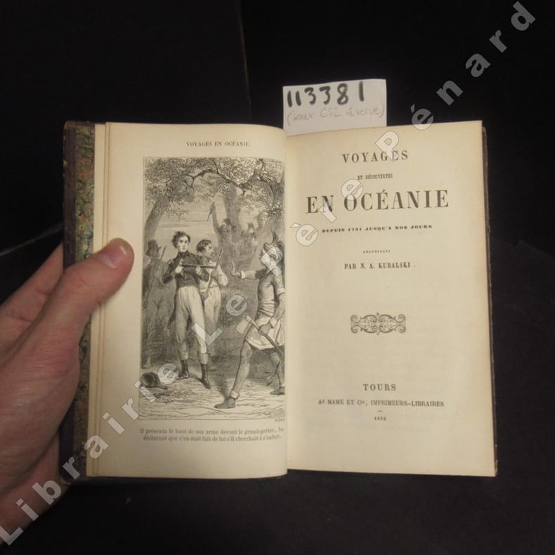
185321242Tours, Ad. Mame, 1853 in-12, 188 pp, 2e édition, une gravure en frontispice par Pisan, cartonnage romantique de l'éditeur pleine percaline gris clair richement décoré de motifs floraux sur fond doré, cartonnage un peu frotté, qqs rousseurs, bon état (Bibl. des écoles chrétiennes)
18521133811852 A Tours, Ad Mame et Cie, imprimeurs-libraires - 1852 - Petit in-8, cartonnage de l'éditeur, décor à froid et dorures sur les plats et le dos,titre en doré au dos - 187 p.
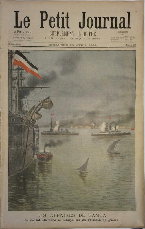
189948733Couverture souple. 8 pages. 31 x 45 cm. Gravures en couleurs.
188484636Couverture souple. Notices de 46 + 18 pages. Couverture factice. Rousseurs. Sans carte.