1 330 résultats
1731166751731 basane brune, dos à n. (3 coiffes à restaurer). 5 vol. in-12, TI: (2ff.), 380pp.; TII: (2ff.), 381pp.; TIII: (1f.), 324pp. TIV: (1f.), 364pp. TV: (1f.), 237pp. Imprimée à Rouen et se vend à Paris, chez la Veuve de Pierre Ribou 1731
B315966Paris, F. Josse, 1798. 2 Bände. 8vo (195 x 130 mm). VIII, 320 S.; [2] Bl., 351 S. Pappbände d. Z., mit Rückenschild (Ecken alt restauriert).
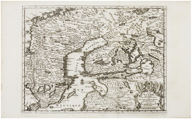
1729LBW-6214Leide, Pierre Vander Aa, [1729]. 219 x 295 mm.
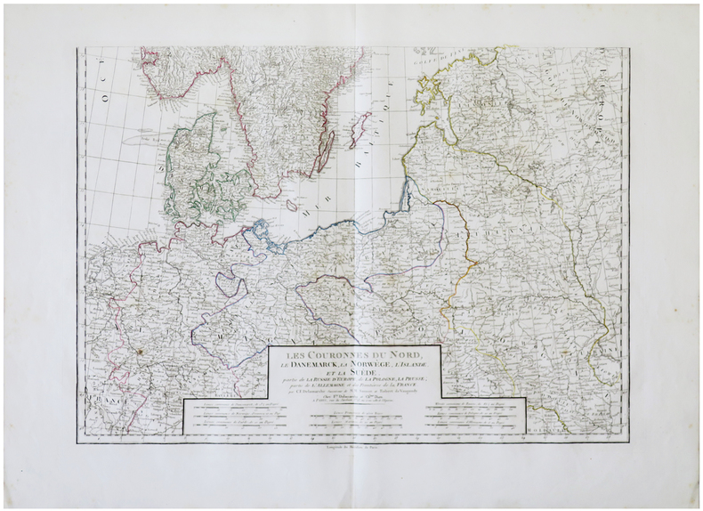
1820LBW-6253Paris, F.x Delamarche et Ch.les Dien, [irca 1820]. En deux feuilles pouvant être jointes poure former une carte de 906 x 619 mm.
1st edition, original paper wrappers, 8vo, 183 pages illustrations, portraits, maps 22 cm. In Swedish. Title translates to Red Cross Expedition to Germany. Sven Frykman, the author, was a major involved in the famous white busses operation. The operation, run by the Swedish Red Cross and the Danish government, rescued inmates from concentration camps in places under Nazi control and transported them to Sweden. SUBJECT (S) : World War, 1939-1945 -- Prisoners and prisons, German. OCLC: 22123343. OCLC lists 11 copies worldwide. Some wear and staining on the cover, spine is fixed with tape and is chipped, Otherwise Very Good (Holo2-139-3)
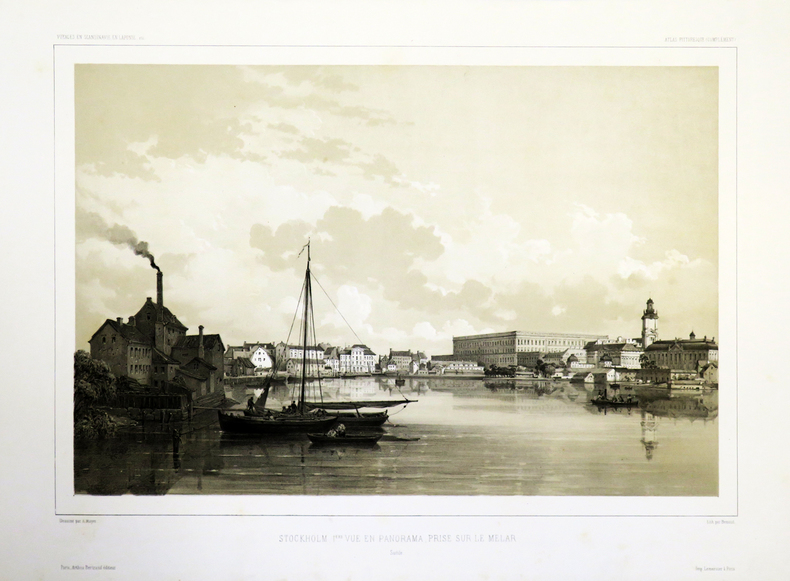
1842LBW-4934[1842-1856]. 312 x 404 mm.
1842LBW-4883[1842-1856]. 312 x 400 mm.
17481316267Stockholm u. Leipzig, J. Fr. Lochner, 1748. Doppelblattgr. gestochenes Frontispiz, 328 S., 1 gestochene Faltkarte (Fragment). Moderner Hpgtbd (Vorsätze aus alten Papieren, Karte mit größerem Abriß am seitlichen Rand, fehlt wahrscheinlich d. Drucktitel).
Calmann Lévy, Paris. 1876. In-8 Carré. Broché. Etat d'usage. Plats abîmés. Dos abîmé. Non coupé. 420 pages. Gravure en noir et blanc en frontispice (portrait). Etiquette de code sur le dos. Tampons et annotation de bibliothèque en page de titre. Dos fendu, avec quelques petits manques et derniers cahiers détachés. Petits manques sur les bords des plats. Quelques rousseurs. Orné du portrait du roi. Naissance. Education. Voyages. Les humiliations de la royauté jusqu'à Gustave III. Les états suédois. Avènement Arrivée àp Stockholm.Préparatifs du coup d'Etat. Guerre avec la Russie...
1876RO40202869Calmann Lévy, Paris. 1876. In-8. Broché. Etat d'usage, Plats abîmés, Dos abîmé, Non coupé. 420 pages. Gravure en noir et blanc en frontispice (portrait). Etiquette de code sur le dos. Tampons et annotation de bibliothèque en page de titre. Dos fendu, avec quelques petits manques et derniers cahiers détachés. Petits manques sur les bords des plats. Quelques rousseurs.. . . . Classification Dewey : 948-Scandinavie
Very light rubbing to extremities. Boards a bit darkened; Bold marbled edges; 16mo - 6" to 7" tall; 512 pages
One map detached but present. Former owner's name on front endpaper; The only guide including Finland; 16mo; 404 pages
190914331Plon-Nourrit Paris 1909 1 vol. In-4 de 3 ff.n.ch. 288 pp. 3 ff.n.ch.(tables) 39 pp. (tableaux); demi-chagrin à coins de l'époque, dos à 5 nerfs, tête dorée, couverture illustrée conservée.
Inserita nell'opera "La Geografia di Claudio Tolomeo alessandrino, già tradotta di greco in italiano da M. Giero. Ruscelli: & hora in questa nuoua editione da M. Gio. Malombra ricorretta, & purgata d'infiniti errori: ... Con l'Espositioni del Ruscelli, ... Con una copiosa tauola de' nomi antichi, dichiarati co' nomi moderni: dal Malombra riueduta, & ampliata. Et con un Discorso di M. Gioseppe Moleto, .. "
Carta geografica della Scandinavia, con confini colorati all'epoca, incisa da Giovan Battista Falda che riprese la carta del Sanson. Inserita nell'opera "Mercurio geografico..." edita in Roma da G. Giacomo De Rossi alla fine del '600 con Giorgio Widman che incise le lettere. La carta è ridimensionata al margine della scala graduata che è tutta visibile
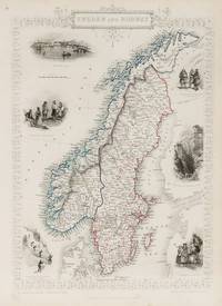
1851200099AG1851. London Edinburgh & Dublin J & F. Tallis 1851. Original steel engraving / Vintage map. Drawn and engraved by John Rapkin. Partly hand-coloured. Illustrations by J. Marchant and engraved by J.H. Kernot. Plate Size: 23.5 cm x 34.5 cm. Sheet Size : 27.4 cm x 37.4 cm. Vintage 19th century map in very good condition. Published in the Illustrated Atlas And Modern History Of The World Geographical Political Commercial & Statistical Edited By R. Montgomery Martin. Beautiful and interesting map of the Sweden and Norway. Denmark the Baltic states and Finland can be seen also. In the Baltic Sea Gotland and Aland islands are included as are the island further north above the Arctic Circle Loffoden Tomsen islands. The political subdivisions are also delineated. Stockholm and Christiania Oslo are identified on the map as are many other towns and cities. Relief is depicted by hachuring. Sweden and Norway or SwedenNorway officially the United Kingdoms of Sweden and Norway or as the United Kingdoms was a personal union of the separate kingdoms of Sweden and Norway under a common monarch and common foreign policy that lasted from 1814 until its peaceful dissolution in 1905. John Tallis 7 November 1817 3 June 1876 was an English cartographic publisher. His company John Tallis and Company published views maps and atlases in London from roughly 1838 to 1851. Tallis set up as a publisher with Frederick Tallis in Cripplegate in 1842; the business moved to Smithfield in 1846 and was dissolved in 1849. From 1851 to 1854 Tallis operated as John Tallis and Company. He started The illustrated news of the world and national portrait gallery of eminent personages in 1858 selling it for £1370 in 1861; it folded in 1863. Wikipedia The most important project John Tallis undertook was the 'Illustrated Atlas' from 1851. The original map we offer here was part of this exceptional Atlas and all the maps it contained are still today considered as the last reminder of an era of lavish map production. Tallis worked the project together with John Rapkin 1815-1876 and it was Rapkin's style and talent that we have to thank for when we marvel at these maps today. What makes these maps so special is the detail of engraved vignettes that surround the map and often show indigenous scenes people in their environment and even more so historical buildings or historical views of towns and cities architecture and landscape. The project of 'The Illustrated Atlas' was designed to be finished just in time for the anxiously awaited "Great Exhibition of the Works of Industry of All Nations" or The Great Exhibition sometimes referred to as the Crystal Palace Exhibition in reference to the temporary structure in which it was held was an international exhibition that took place in Hyde Park London from 1 May to 11 October 1851. It was the first in a series of World's Fairs exhibitions of culture and industry that became popular in the 19th century and it was a much-anticipated event. The Great Exhibition was organized by Henry Cole and Prince Albert husband of the reigning monarch Queen Victoria. It was attended by numerous notable figures of the time including Charles Darwin Samuel Colt members of the Orléanist Royal Family and the writers Charlotte Brontë Charles Dickens Lewis Carroll George Eliot and Alfred Tennyson. Music for the opening was under the direction of Sir George Thomas Smart and the continuous music from the exhibited organs for the Queen's procession was "under the superintendence of William Sterndale Bennett". Wikipedia unknown
19341312157Stockholm, (Selbstverlag), 1918 - 1934. 4to. Zus. über 2200 S. m. sehr zahlr. Abb. u. Karten im Text u. auf einigen Taf. 5 Lwdbde (begriffen) u. 13 OKartbde (Stempel a. Titelrücks., teils unaufgeschnitten).
Polster, BerndIn Pristine Condition. unknown
Minor rubbing to extremities. Front map a bit torn and nicely repaired. Bookplate; The only guide including Finland; 16mo; 404 pages
17451257164Kopenhagen, Königl. Waysenhaus, 1745. 4 Bl., 726 S., 1 Bl. weiß. Neuer Ppbd. (leicht braunfleckig).
Mulder, WilliamIn Pristine Condition. unknown
Holst, Mads Kähler & RasIn Pristine Condition. unknown
17461220356Kopenhagen, Orphanotrophium, 1746. Kl.-4to. 2 Bl., 432 S., 14 Bl. Hpgtbd d. Zeit (berieben, Titel mit Namensausschnitt u. Stempel auf Rückseite).
1900LBW-8937[vers 1900]. 329 x 422 mm, marges comprises.
188012918Bourg, Imprimerie de J.-M. Villefranche, 1880-1890. 5 vol. in-8, demi-percaline verte à coins, dos lisse, pièce de titre en percaline bleu et de tomaison en percaline rouge (reliure de l'époque).