JOLLAIN (Gérard).Livre Rare Book
1 330 résultats
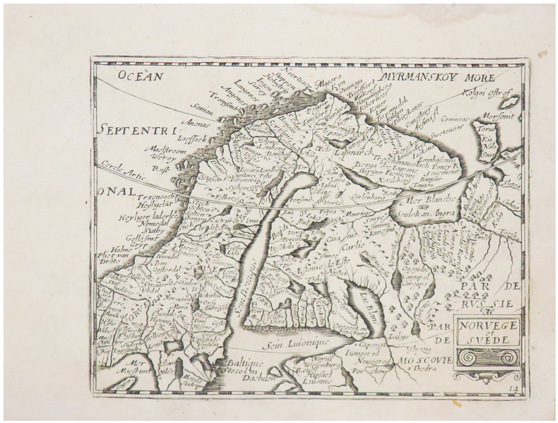
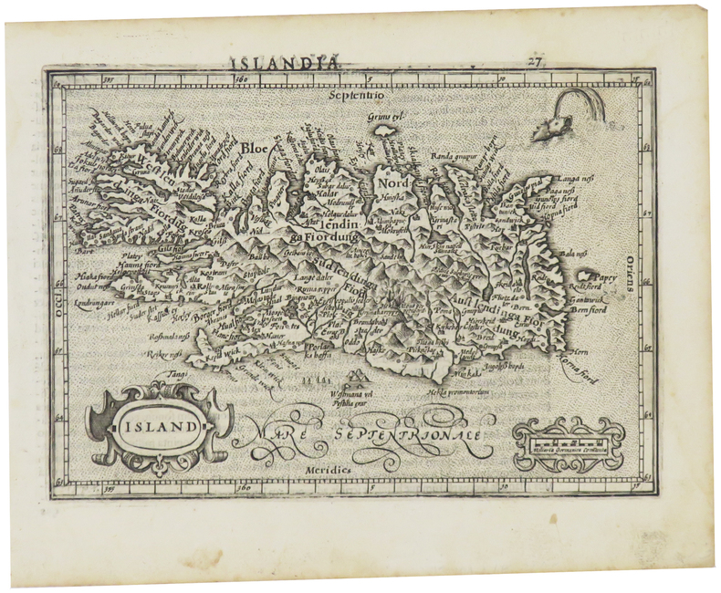
1667LBW-6510[Paris, Jollain, 1667]. 127 x 165 mm.
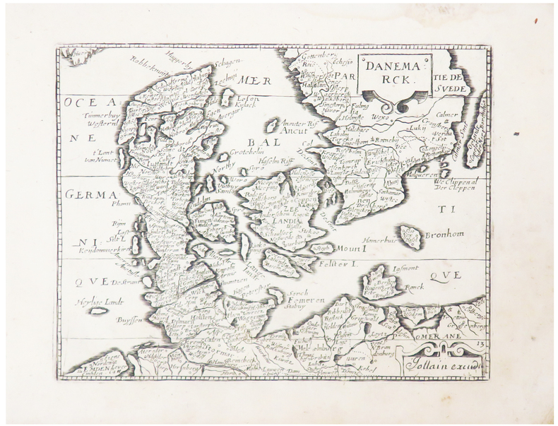
1667LBW-6509[Paris, Jollain, 1667]. 127 x 165 mm.
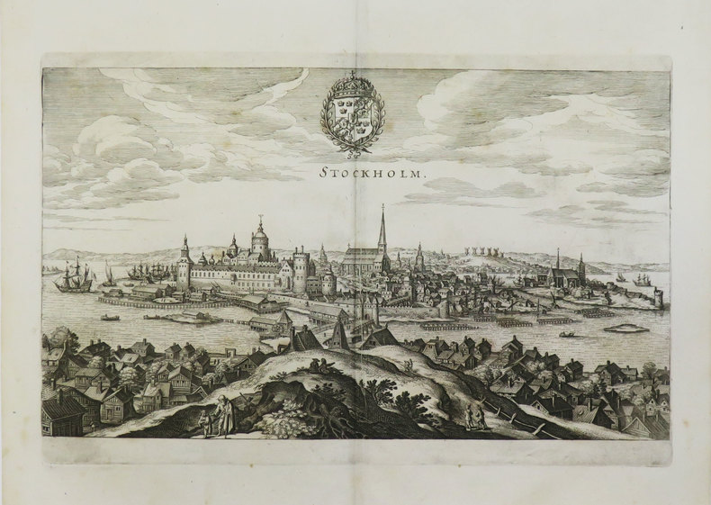
1649LBW-3596[1649]. 194 x 330 mm.
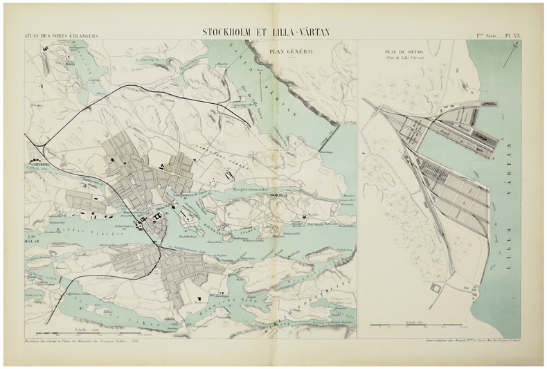
1883LBW-5468Paris, Auto. Marchadier et Cie, 1883. 285 x 452 mm.
Rogers, Margaret & RobinIn Pristine Condition. unknown
1851200100AG1851. London Edinburgh & Dublin J & F. Tallis 1851. Original steel engraving / Vintage map. Drawn and engraved by John Rapkin. Partly hand-coloured. Illustrations by H. Warren and engravings by J.B. Allen. Plate Size: 25 cm x 34 cm. Sheet Size: 27.4 cm x 37.4 cm. Vintage 19th century map in very good condition. Published in the Illustrated Atlas And Modern History Of The World Geographical Political Commercial & Statistical Edited By R. Montgomery Martin. Beautiful and interesting map of Denmark: the Jutland Peninsula and the surrounding islands such as Zealand and Funen in the Baltic and the North Sea. The political subdivisions of Denmark are delineated and the towns and cities including Copenhagen Aarhus and Odense are shown. Off the east coast the Cattegat strait is identified. The southern coast of Sweden is shown as are the German coasts in the lower part of the map Hanover Mecklenburg and Prussia The Danish royal coat-of-arms can be seen in the upper right corner of the map. John Tallis 7 November 1817 3 June 1876 was an English cartographic publisher. His company John Tallis and Company published views maps and atlases in London from roughly 1838 to 1851. Tallis set up as a publisher with Frederick Tallis in Cripplegate in 1842; the business moved to Smithfield in 1846 and was dissolved in 1849. From 1851 to 1854 Tallis operated as John Tallis and Company. He started The illustrated news of the world and national portrait gallery of eminent personages in 1858 selling it for £1370 in 1861; it folded in 1863. Wikipedia The most important project John Tallis undertook was the 'Illustrated Atlas' from 1851. The original map we offer here was part of this exceptional Atlas and all the maps it contained are still today considered as the last reminder of an era of lavish map production. Tallis worked the project together with John Rapkin 1815-1876 and it was Rapkin's style and talent that we have to thank for when we marvel at these maps today. What makes these maps so special is the detail of engraved vignettes that surround the map and often show indigenous scenes people in their environment and even more so historical buildings or historical views of towns and cities architecture and landscape. The project of 'The Illustrated Atlas' was designed to be finished just in time for the anxiously awaited "Great Exhibition of the Works of Industry of All Nations" or The Great Exhibition sometimes referred to as the Crystal Palace Exhibition in reference to the temporary structure in which it was held was an international exhibition that took place in Hyde Park London from 1 May to 11 October 1851. It was the first in a series of World's Fairs exhibitions of culture and industry that became popular in the 19th century and it was a much-anticipated event. The Great Exhibition was organized by Henry Cole and Prince Albert husband of the reigning monarch Queen Victoria. It was attended by numerous notable figures of the time including Charles Darwin Samuel Colt members of the Orléanist Royal Family and the writers Charlotte Brontë Charles Dickens Lewis Carroll George Eliot and Alfred Tennyson. Music for the opening was under the direction of Sir George Thomas Smart and the continuous music from the exhibited organs for the Queen's procession was "under the superintendence of William Sterndale Bennett". Wikipedia unknown
SONG8772472006Casscom Media 0000-00-00. hardcover. Used: Good. 8.30x0.50x10.90. Buy with confidence. Excellent Customer Service & Return policy. Casscom Media hardcover
Hans Bekker-Nielson, edNot in perfect condition. unknown
18503620819London, Longman, Browhn, Green, and Longmans, 1850. 15, (1), 483, (1) S. mit 4 xylographischen Textillustrationen, 10 tonlithographische Tafeln, 1 Faltkarte. Moderner Lwdbd (Vordergelenk etwas locker, innen leicht gebräunt bzw. braunfleckig).
Boards with light rubbing to extremities. Very light fraying to spine ends. Former owner's name on front free endpapers. Vol. 1: Light dampstaining to bottom corner throughout the book, but not affecting readability or pictures; Decorative dark green boards with pictorial design in gilt and brown of the (midnight) sun and birds. Including fold-out map in rear pocket ; B&W Illustrations; 8vo 8" - 9" tall; 441, 474 pages
1857231345Copenhagen: L'Imprimerie de Thiele 1857. First edition. 22 plates. 10 pp. text. 1 vols. Folio. Contemporary boards. Spine perished boards detached. Internally Fine. First edition. 22 plates. 10 pp. text. 1 vols. Folio. L'Imprimerie de Thiele unknown
1857231345Copenhagen: L'Imprimerie de Thiele 1857. First edition. 22 plates. 10 pp. text. 1 vols. Folio. Contemporary boards. Spine perished boards detached. Internally Fine. First edition. 22 plates. 10 pp. text. 1 vols. Folio. L'Imprimerie de Thiele unknown books
26849ABo.J. 8°. Orig.-Broschur. bzw. Hefte. + Wichtig: Für unsere Kunden in der EU erfolgt der Versand alle 14 Tage verzollt ab Deutschland / Postbank-Konto in Deutschland vorhanden +
1706621173Rotterdam, Abraham Acher, 1706. Titel, 2 Bl. "Avertissement", S. 3-619 (so komplett, am Schluß fehlt das Errata-Blatt). Mit 1 gefalteten Kupferkarte. Leder d. Zeit (berieben u. fleckig, Ecken bestoßen, Gelenke angebrochen u. teils hinterlegt, hinterer freier Vorsatz entfernt). [2 Warenabbildungen]
1764621067Genf, C. Philibert, 1767 u. 1764. 6 Bl., 240 S.; 2 Bl., 327 S. Mit 1 Kupfertafel u. 1 gefalteten Stammtafel. Leder d. Zeit mit je 2 Rückenschildern und reicher Rückenvergoldung (berieben u. etwas aufgebogen). [2 Warenabbildungen]
2 volumi, cm. 18, brossura editoriale, pag. XVI, 344 (2) più 3 tavole a colori; 270 (2) più 3 tavole e 1 tavola ripiegata con Veduta della costa settentrionale dello Spitzberg. Collana "Raccolta de' viaggi più interessanti eseguiti nelle varie parti del mondo, tanto per terra quanto per mare, dopo quelli del celebre Cook...". Ottimo esemplare.
192361075BBHellerau, Avalun Presse, 1923. 4°. 32,5 x 22,5 cm. [38] Blatt. Original-Handeinband in Halbpergament mit schwarzem Rückentitel und schwarzer Deckelprägung. [3 Warenabbildungen] (= Avalun-Druck, 33).
Affascinate raffigurazione della Scandinavia ed in particolare dei territori di Norvegia, Finlandia e Svezia. Il titolo è iscritto in animato e allegorico cartiglio nell'angolo in alto a sinistra. Coloritura all'acquerello coeva. Piega centrale editoriale. Piccoli strappetti marginali che non compromettono l'ottimo stato di conservazione
16650Paris, Eugène Renduel, 1833. 2 vol. in-8, XVI-414 pp. + 422 pp., demi-veau à coins bleu de l'époque, filets dorés sur les plats, dos à nerfs orné de caissons et filets dorés, tranches mouchetées (épidermure).
1610LBW0615c[Dordrecht, Adrianus Bottius, 1610]. 134 x 186 mm.
17381262215Kopenhagen, Pauli, 1738. 2 Bl., 562 S. Ldrbd d. Zeit (oberes Kapital m. kl. Fehlstelle, fliegendde Vorsätze entfernt, gering gebräunt, leichte Feuchtigkeitsspuren).
17441262212Kopenhagen, O. Chr. Wntzell, 1744. 4 Bl., 528 S. Ldrbd d. Zeit (Einbd leicht beschabt, fliegende Vorsätze entfernt, gering gebräunt).
26849AB8°. Orig.-Broschur. bzw. Hefte.
Boards with light rubbing to extremities. Former owner's name on front free endpaper and neat inscription on first blank page. Small closed tear to front map. ; An unusually handsome copy with tight binding and all the maps in NF condition; Thin 16mo 6" - 7" tall; 356 pages
166080671660 in-4, titre, 48pp., demi-rel. mod. (s.l., s.n. ca.1660),